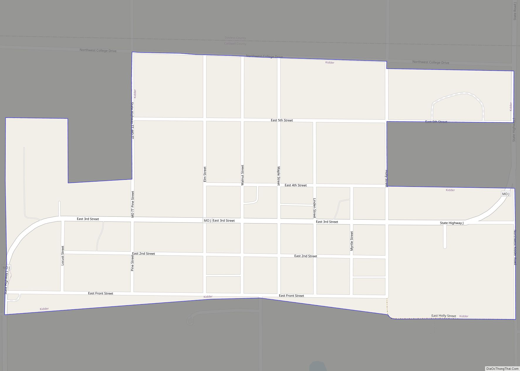
Caldwell County is a county located in Missouri, United States. As of the 2020 census, the county’s population was 9,424. It is part of the Kansas City metropolitan area. Its county seat is Kingston. The county was organized December 29, 1836 and named by Alexander Doniphan to honor John Caldwell, who participated in George Rogers Clark’s Native American Campaign of 1786 and was the second Lieutenant Governor of Kentucky.
Caldwell County was originally established as a haven for Mormons, who had been driven from Jackson County in November 1833 and had been refugees in adjacent Clay County since. The county was one of the principal settings of the 1838 Missouri Mormon War, which led to the expulsion of all Latter Day Saints from Missouri, following the issuance of an “extermination order” by then–Governor Lilburn Boggs.
| Name: | Caldwell County |
|---|---|
| FIPS code: | 29-025 |
| State: | Missouri |
| Founded: | December 29, 1836 |
| Named for: | John Caldwell |
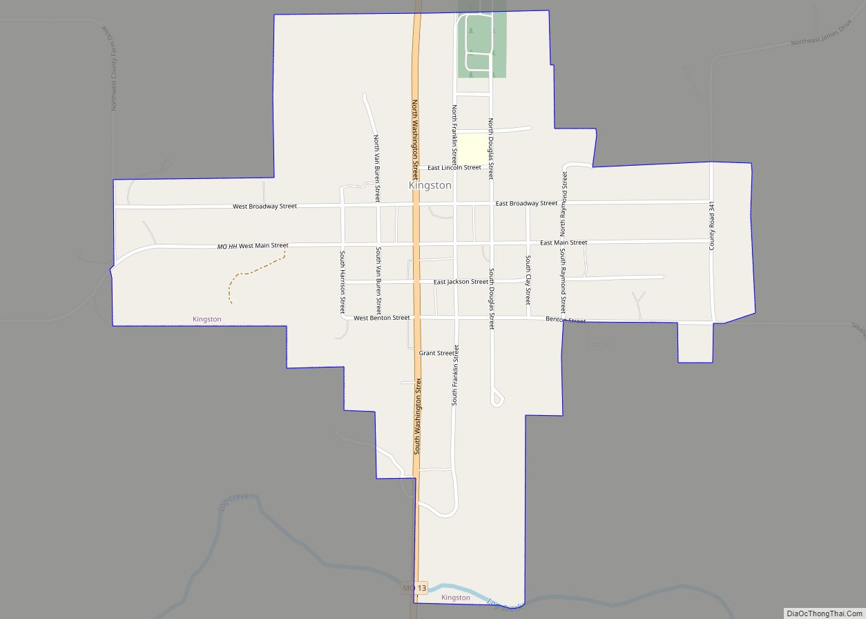
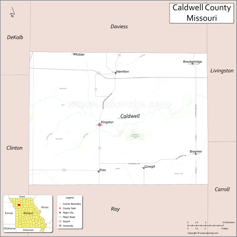
| Seat: | Kingston |
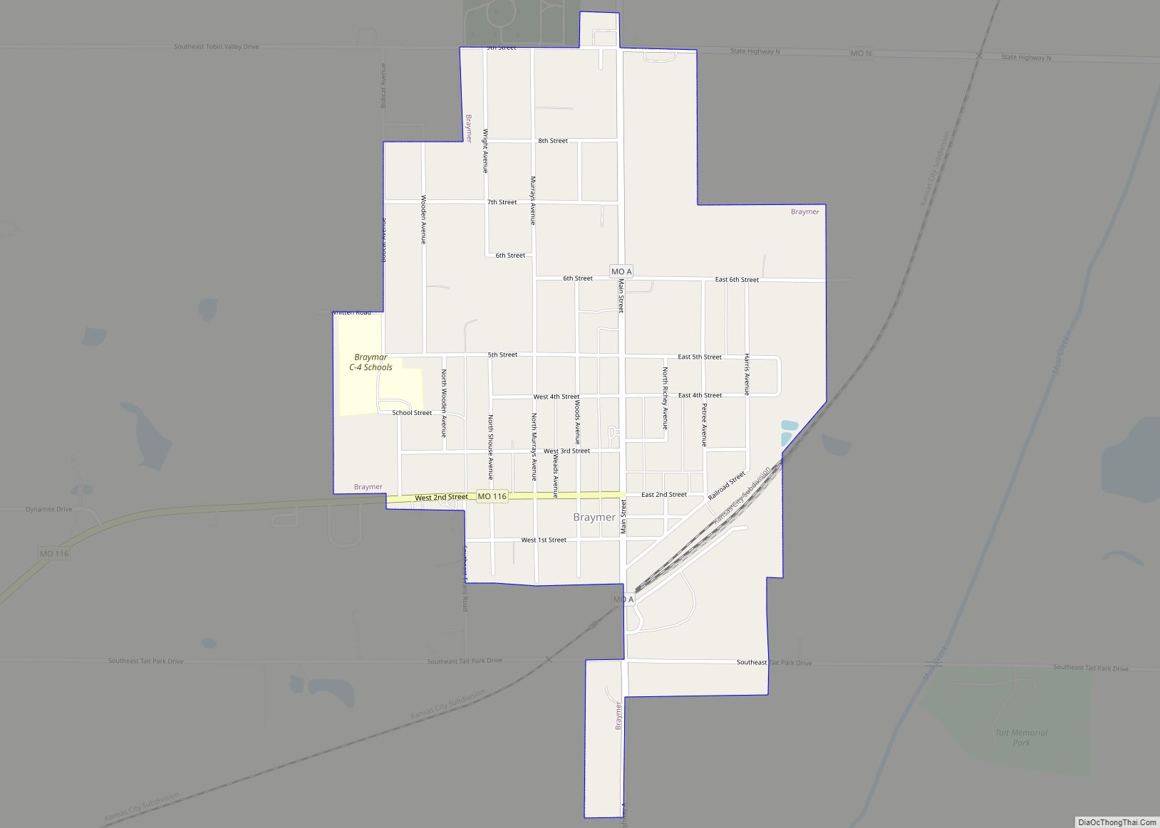
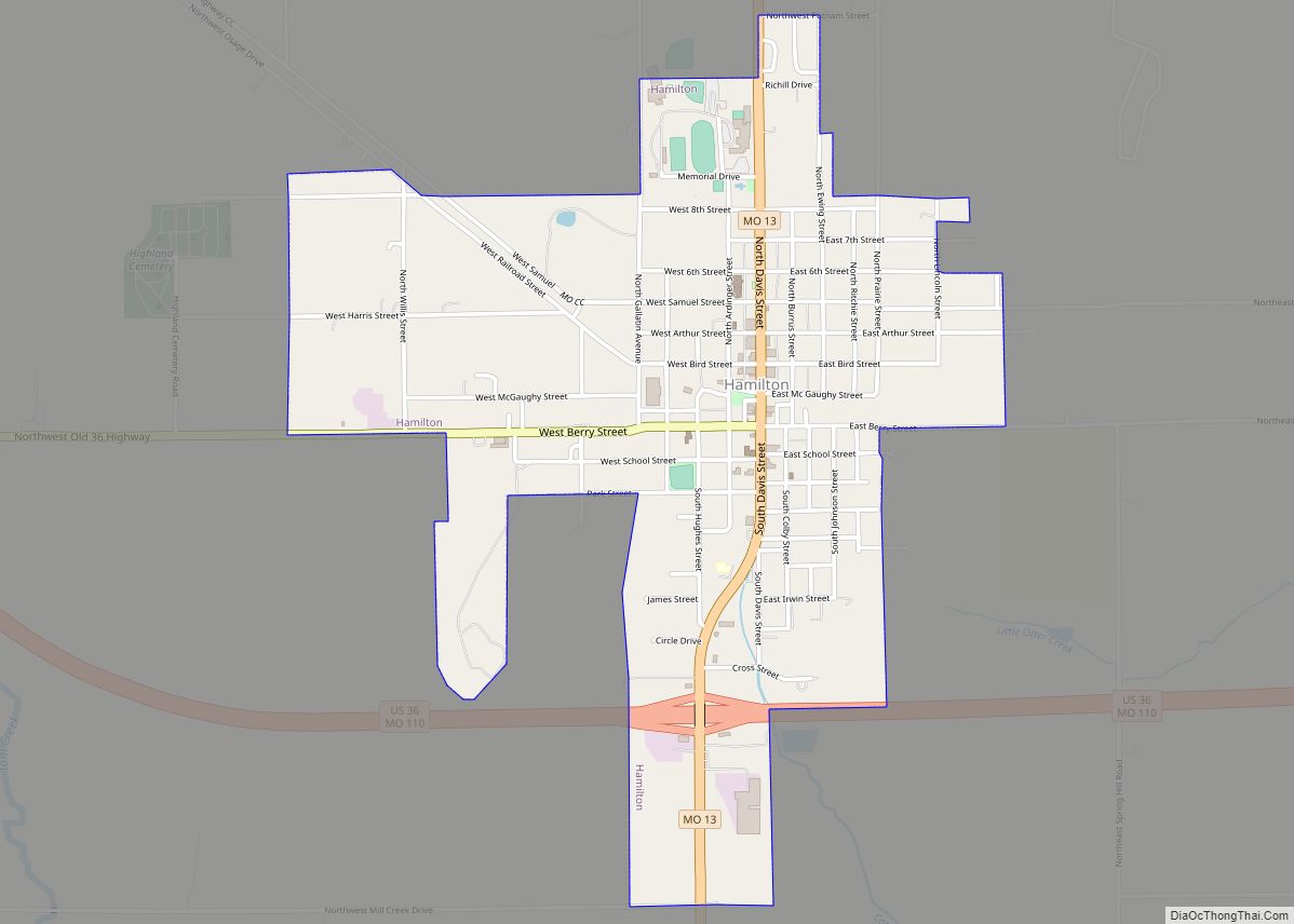
| Largest city: | Hamilton |
| Total Area: | 430 sq mi (1,100 km²) |
| Land Area: | 426 sq mi (1,100 km²) |
| Total Population: | 8,815 |
| Population Density: | 21/sq mi (7.9/km²) |
| Time zone: | UTC−6 (Central) |
| Summer Time Zone (DST): | UTC−5 (CDT) |
| Website: | www.caldwellco.missouri.org |
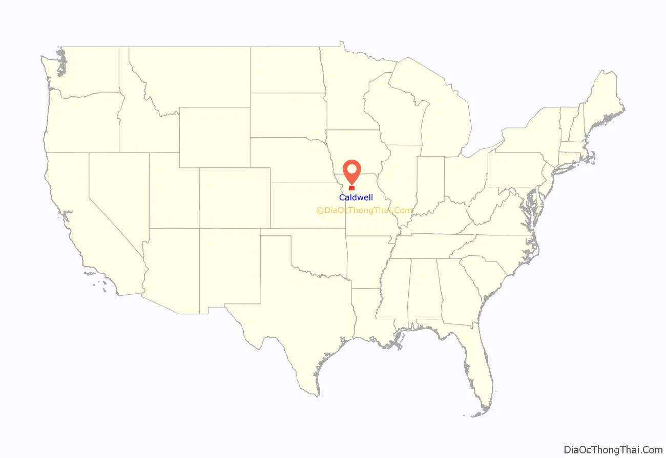
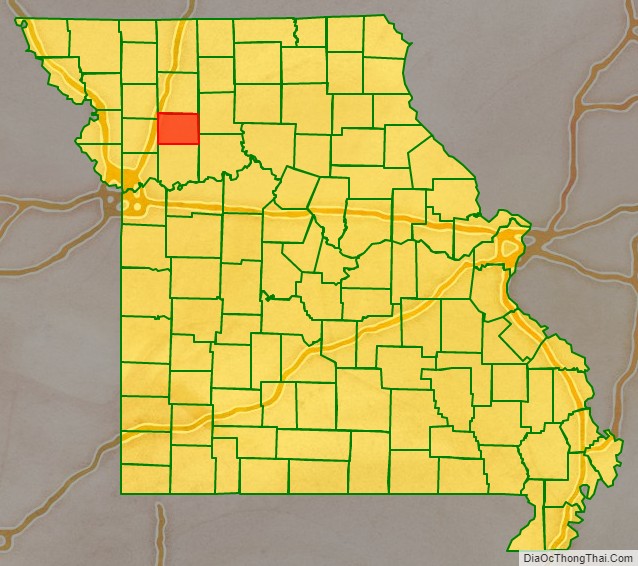
Caldwell County location map. Where is Caldwell County?
History
Mormon settlement
Caldwell County was originally part of Ray County. The first white settler was Jesse Mann Sr., who settled one-half mile northeast of the public square of Kingston on Shoal Creek in 1831. The early settlers moved back south in 1832 for better protection during the Black Hawk War uprising.
A few Mormon settlers, who had been evicted from Jackson County, Missouri, moved into the county in 1832, and included Jacob Hawn, whose mill on Shoal Creek would become the scene of the bloodiest incident in the Mormon War, known as the Haun’s Mill Massacre.
The settlers established Salem, the first town in the county, two miles southeast of Kingston. A larger number of Mormons moved to the county in the fall of 1836. The Missouri General Assembly created Caldwell County in December 1836, with the understanding that it would be dedicated to Mormon settlers. Its county seat was Far West, Missouri. By 1838 Far West reported a population of 4,000.
The major figures of early Mormon history, including Joseph Smith, Hyrum Smith, Brigham Young, John Taylor, Edward Partridge, Sidney Rigdon, Parley P. Pratt and John D. Lee, were included in the migration.
Mormon War
Mormon settlers moved further north into Daviess County, particularly at Adam-ondi-Ahman, after Smith proclaimed that it was the Biblical place where Adam and Eve were banished after leaving the Garden of Eden. He said it would be a gathering place on the Judgement Day. The Mormon War erupted following a skirmish between original Missouri settlers and Mormon settlers in the Gallatin Election Day Battle.
After the Missouri militia was routed in the Battle of Crooked Creek, Governor Lilburn Boggs issued Missouri Executive Order 44 (Mormon Extermination Order) to evict the Mormons from the state. Three days later, a group from Livingston County killed 18 Mormons in the Haun’s Mill massacre. Troops laid siege to Far West, where Smith surrendered in October 1838. The settlers agreed to leave; they abandoned Far West and initially regrouped in Quincy, Illinois, for the winter of 1838–39. The following spring, they founded Nauvoo, Illinois.
Following the dissolution of Far West, the county seat was moved to present-day Kingston.
Caldwell County Road Map
Geography
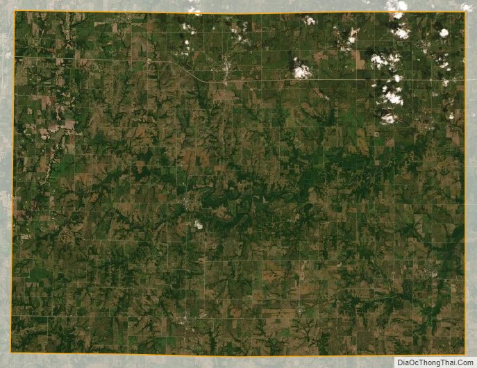
According to the U.S. Census Bureau, the county has a total area of 430 square miles (1,100 km), of which 426 square miles (1,100 km) is land and 3.2 square miles (8.3 km) (0.8%) is water.
Adjacent counties
- Daviess County (north)
- Livingston County (east)
- Carroll County (southeast)
- Ray County (south)
- Clinton County (west)
- DeKalb County (northwest)
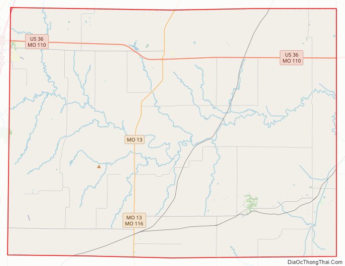
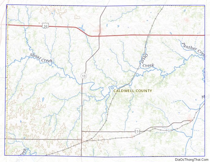
Major highways
- U.S. Route 36
- Route 13
- Route 116
Caldwell County Topographic Map
Caldwell County Satellite Map
Caldwell County Outline Map