Lafayette County is a county in the western portion of Missouri, part of the Kansas City metropolitan area. As of the 2010 census, the population was 33,381. Its county seat is Lexington. The county was organized November 16, 1820 from Cooper County and originally named Lillard County for James Lillard of Tennessee, who served in the first state constitutional convention and first state legislature. It was renamed Lafayette County on February 16, 1825, in honor of Revolutionary War hero the Marquis de La Fayette, who was then visiting the United States.
| Name: | Lafayette County |
|---|---|
| FIPS code: | 29-107 |
| State: | Missouri |
| Founded: | November 16, 1820 |
| Named for: | Marquis de La Fayette |
| Seat: | Lexington |
| Largest city: | Odessa |
| Total Area: | 639 sq mi (1,660 km²) |
| Land Area: | 628 sq mi (1,630 km²) |
| Total Population: | 33,381 |
| Population Density: | 52/sq mi (20/km²) |
| Time zone: | UTC−6 (Central) |
| Summer Time Zone (DST): | UTC−5 (CDT) |
| Website: | www.lafayettecountymo.com |
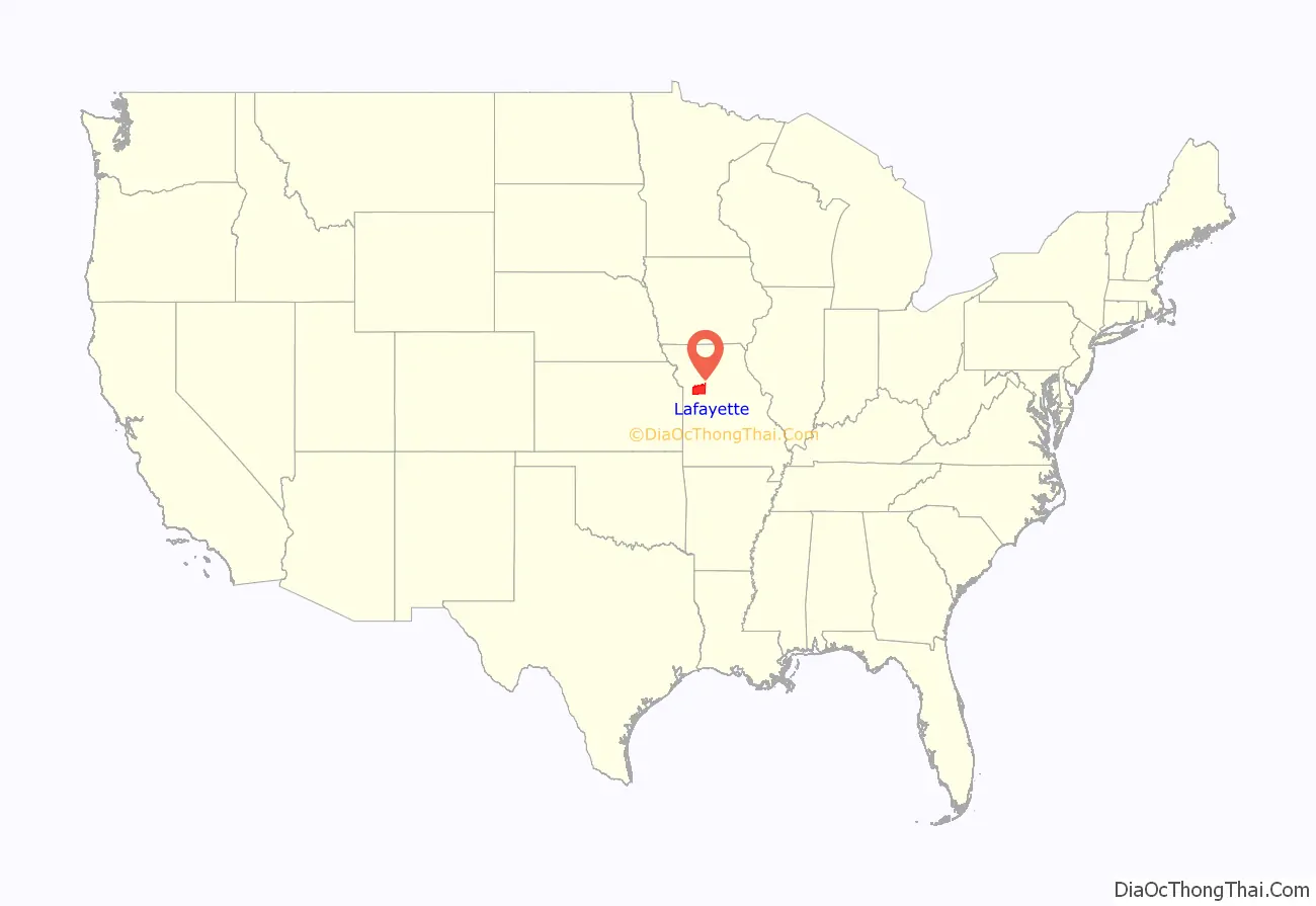
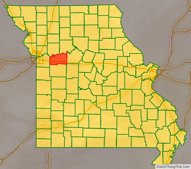
Lafayette County location map. Where is Lafayette County?
History
Lafayette County was settled primarily from migrants from the Upper Southern states of Kentucky, Tennessee and Virginia. They brought enslaved people and slaveholding traditions and started cultivating crops similar to those in Middle Tennessee and Kentucky: hemp and tobacco.
Peter Youree (1843-1914) was born here to merchant P. E. Youree and the former M. M. Zimmerman. As a young man, he enlisted in the Confederate forces from here, and gained the rank of captain during the American Civil War. Afterward, he settled in Shreveport, Louisiana, where he married, became a successful merchant and banker, and served on the Caddo Parish Police Jury.
As a result of the migration from the South, this part of Missouri, and neighboring counties, became known as Little Dixie. In 1860 enslaved people made up 25 percent or more of the county’s population, and the county was strongly pro-Confederate during the American Civil War.
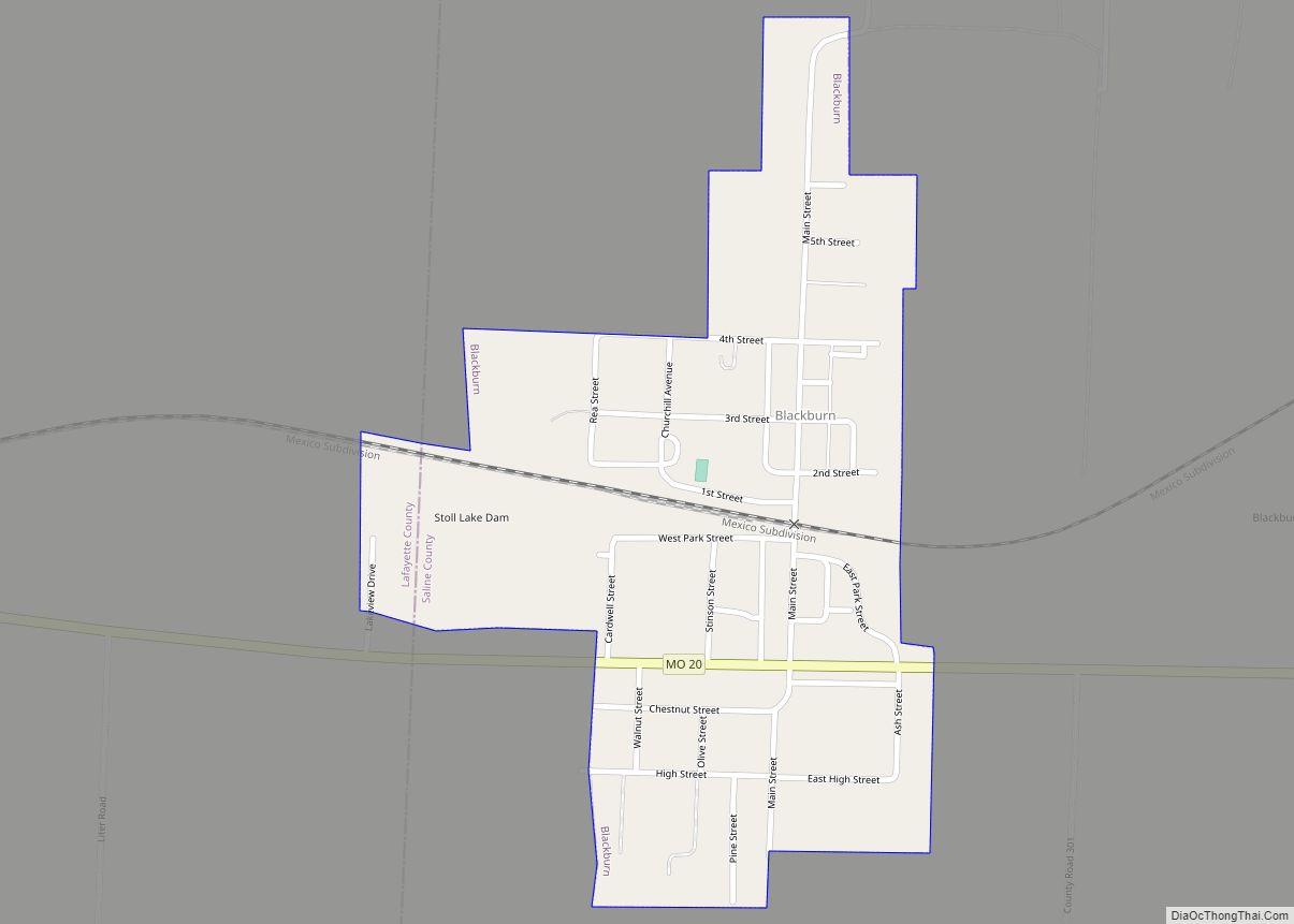
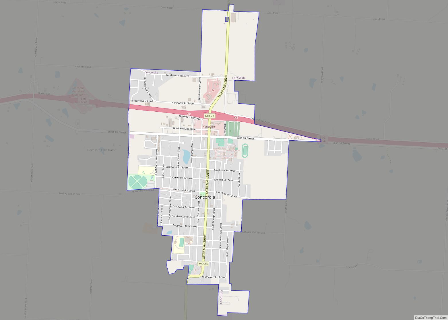
But immigrants from Germany, as well as German Americans from St. Louis, began arriving shortly before the war, with many more to come afterwards. Many of the Germans were sympathetic to the Union and opposed slavery. They eventually made up a large part of the populations of Concordia, Emma, Wellington, Napoleon, Higginsville, Mayview, and Lexington.
After the war, there were racial tensions as whites worked to dominate the freedmen. Following Reconstruction, whites lynched two blacks in the decades around the turn of the century.
Sunday May 4th 1919, Lafayette County Sheriff Joseph C. Talbott was killed while transporting car thieves to jail. Also killed were Deputy Sheriff John McDonald and Deputy Constable James Stapleton. On May 29th 1919, Lafayette County held a special election to replace Sheriff Talbott. Sheriff Talbott’s wife, Minnie Mae Talbott, won the special election becoming the first woman elected to the office of Sheriff in the United States. Minnie Mae Talbott was sworn into office on June 8th 1919. Minnie Mae Talbott was elected by an all-male electorate. Women would not gain the right to vote until August 1920, with ratification of the 19th Amendment to the U.S. Constitution.
21st century
In November 2013, Leland Ray Kolkmeyer pleaded guilty, in federal court, of a fraud scheme in which he embezzled more than $1.5 million from Wellington-Napoleon Fire Protection District and Special Road District while serving as their treasurer.
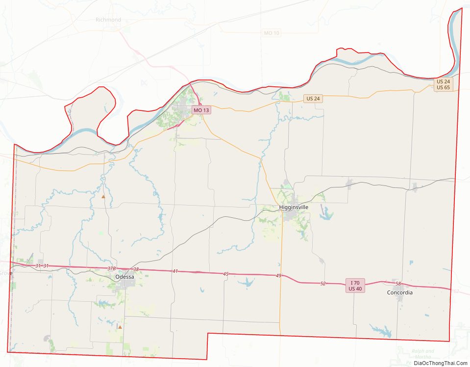
Lafayette County Road Map

Geography
According to the U.S. Census Bureau, the county has a total area of 639 square miles (1,660 km), of which 628 square miles (1,630 km) is land and 11 square miles (28 km) (1.6%) is water.
Adjacent counties
- Ray County (northwest)
- Carroll County (northeast)
- Saline County (east)
- Johnson County (south)
- Jackson County (west)
- Pettis County (southeast)
Major highways
- Interstate 70
- U.S. Route 24
- U.S. Route 40
- U.S. Route 65
- Route 13
- Route 23
- Route 131
- Route 224
National protected area
- Big Muddy National Fish and Wildlife Refuge (part)
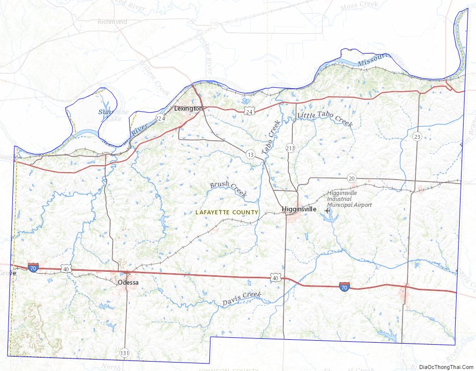
Lafayette County Topographic Map
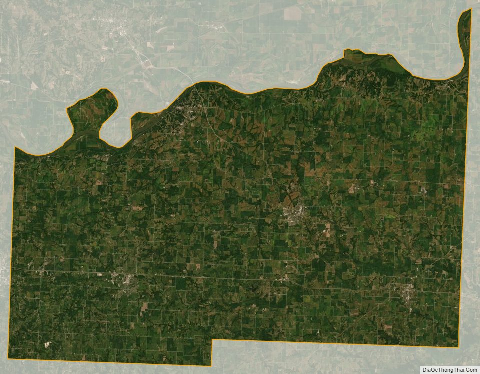
Lafayette County Satellite Map
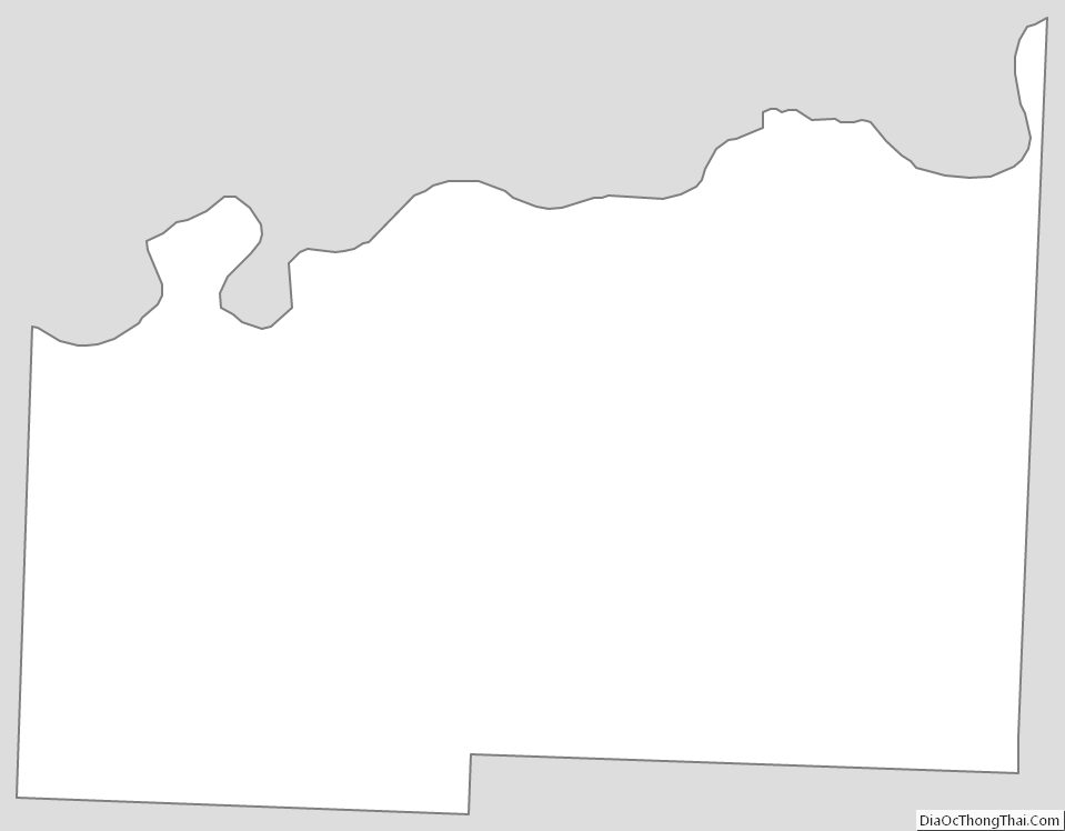
Lafayette County Outline Map