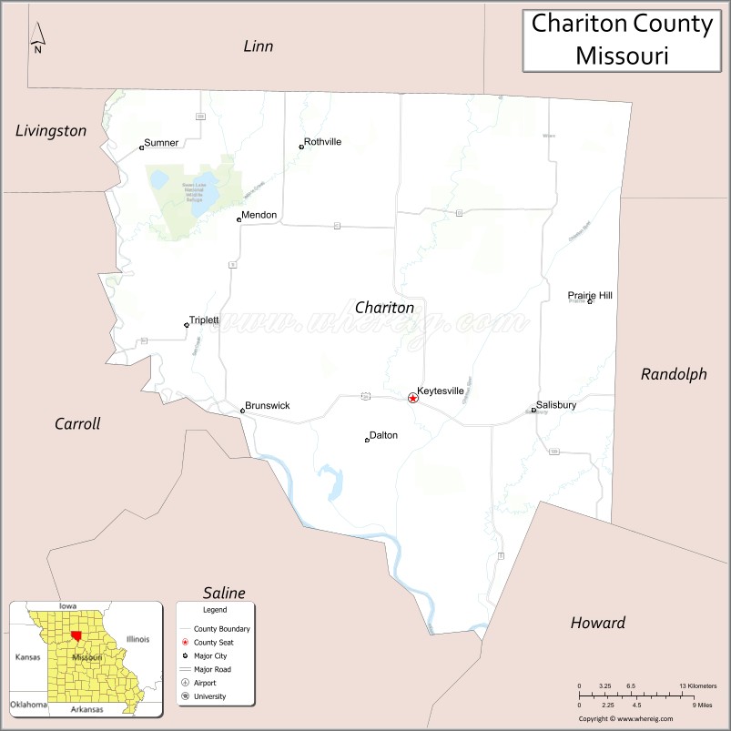
Chariton County is a county located in the north-central portion of the U.S. state of Missouri. As of the 2020 census, the population was 7,408. Its county seat is Keytesville. The county was organized November 16, 1820, from part of Howard County and is named for the Chariton River.
| Name: | Chariton County |
|---|---|
| FIPS code: | 29-041 |
| State: | Missouri |
| Founded: | November 16, 1820 |
| Named for: | The Chariton River |
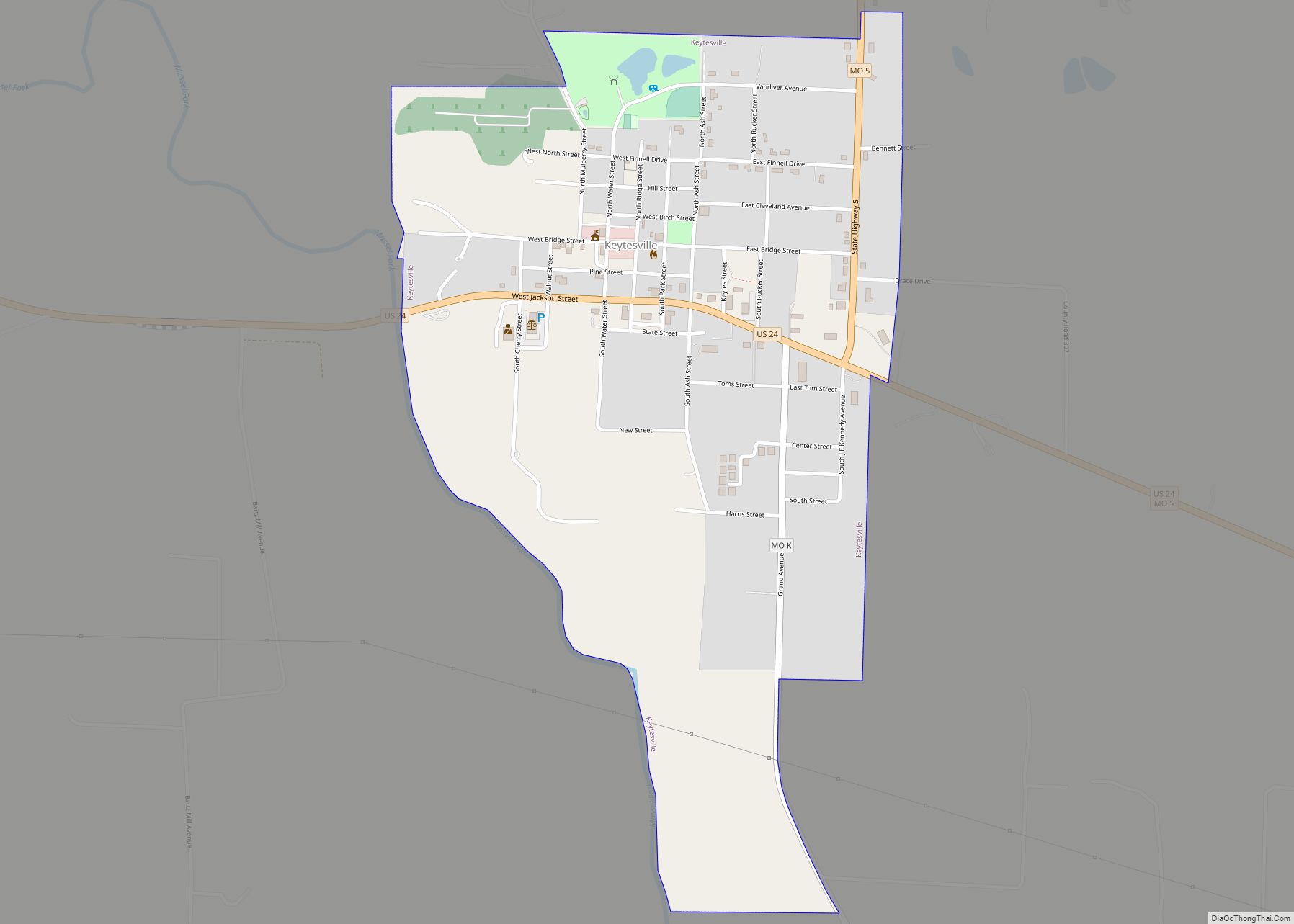
| Seat: | Keytesville |
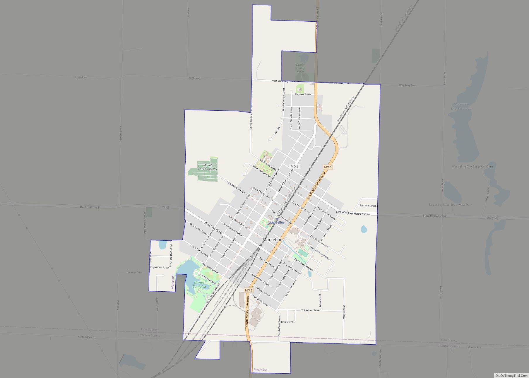
| Largest city: | Salisbury |
| Total Area: | 767 sq mi (1,990 km²) |
| Land Area: | 751 sq mi (1,950 km²) |
| Total Population: | 7,408 |
| Population Density: | 9.7/sq mi (3.7/km²) |
| Time zone: | UTC−6 (Central) |
| Summer Time Zone (DST): | UTC−5 (CDT) |
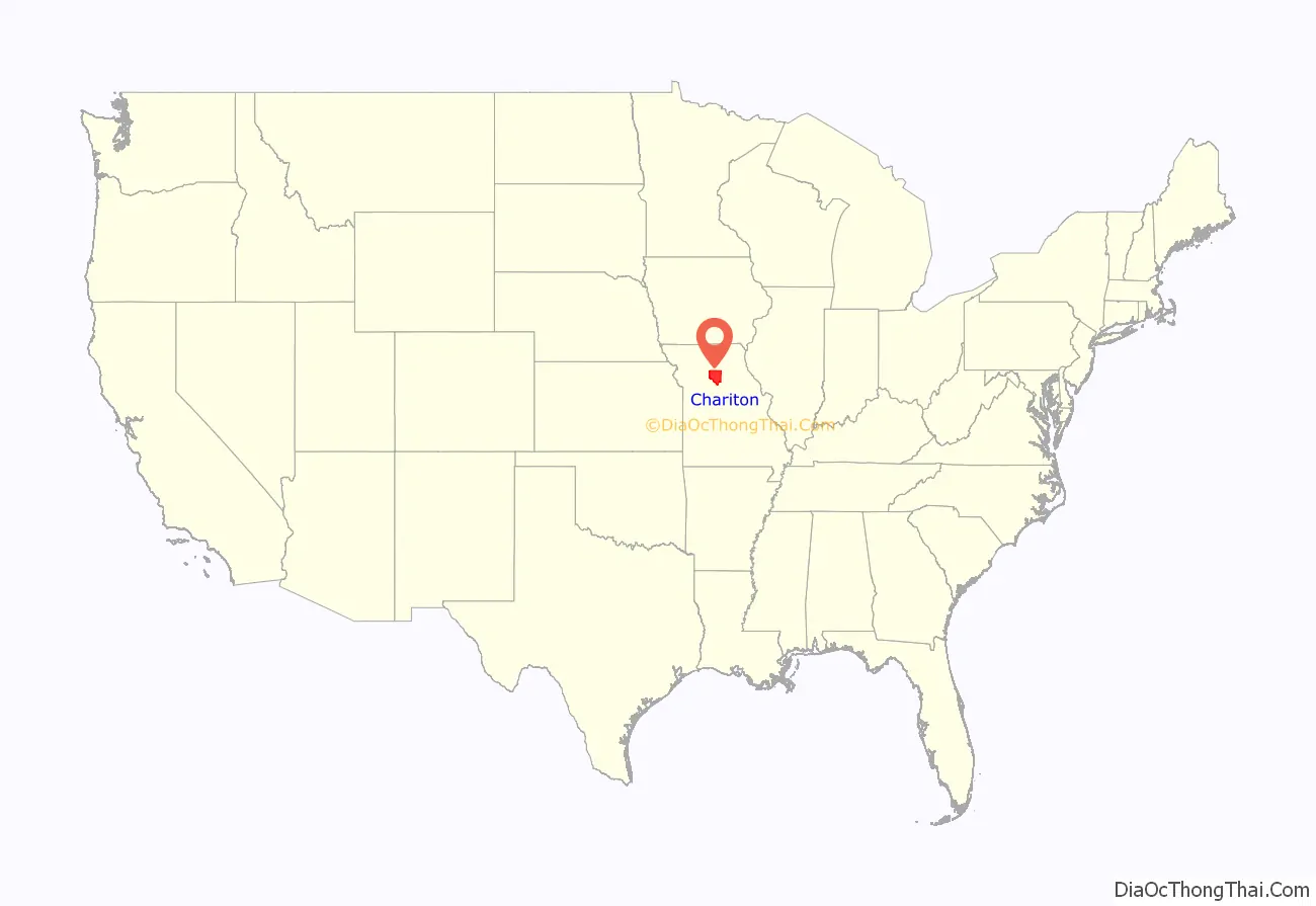
Chariton County location map. Where is Chariton County?
History
Chariton County was settled primarily from the states of the Upper South, especially Kentucky and Tennessee. They brought slaves and slaveholding traditions with them, and they quickly started cultivating crops similar to those in Middle Tennessee and Kentucky: hemp and tobacco. Chariton was one of several counties settled mostly by southerners to the north and south of the Missouri River. Given their culture and traditions, this area became known as Little Dixie and Chariton County was at its heart. It was heavily pro-Confederate during the American Civil War.
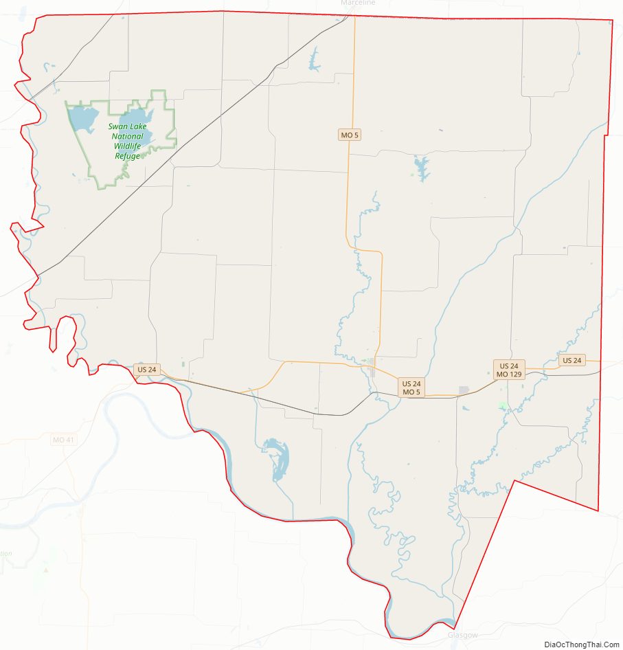
Chariton County Road Map
Geography
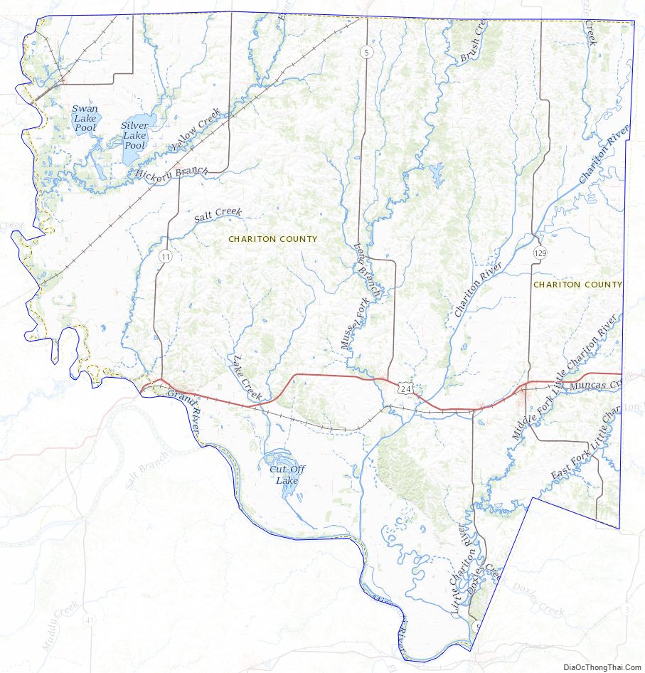
According to the U.S. Census Bureau, the county has a total area of 767 square miles (1,990 km), of which 751 square miles (1,950 km) is land and 16 square miles (41 km) (2.0%) is water.
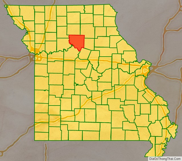
Adjacent counties
- Linn County (north)
- Macon County (northeast)
- Randolph County (east)
- Howard County (southeast)
- Saline County (southwest)
- Carroll County (west)
- Livingston County (northwest)
Major highways
- U.S. Route 24
- Route 5
- Route 11
- Route 129
- Route 139
National protected area
- Swan Lake National Wildlife Refuge
Chariton County Topographic Map
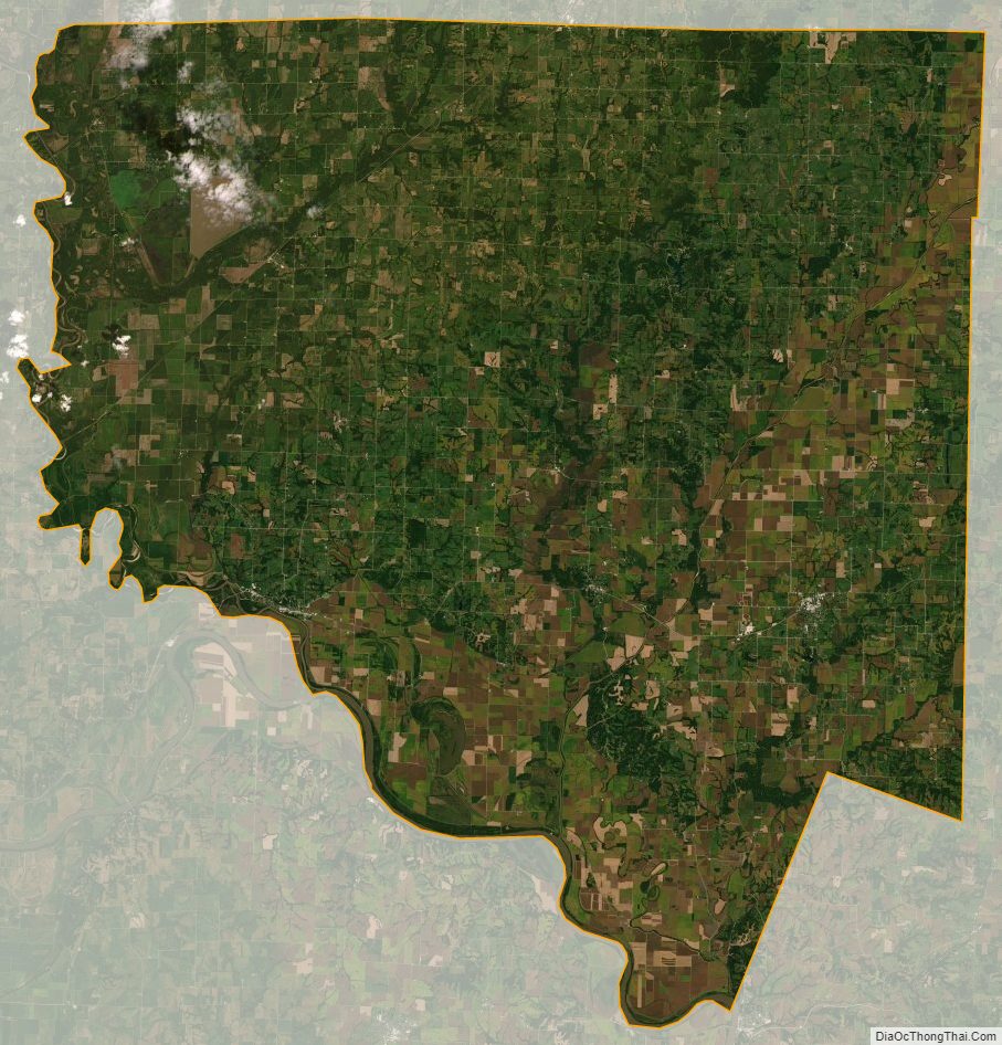
Chariton County Satellite Map
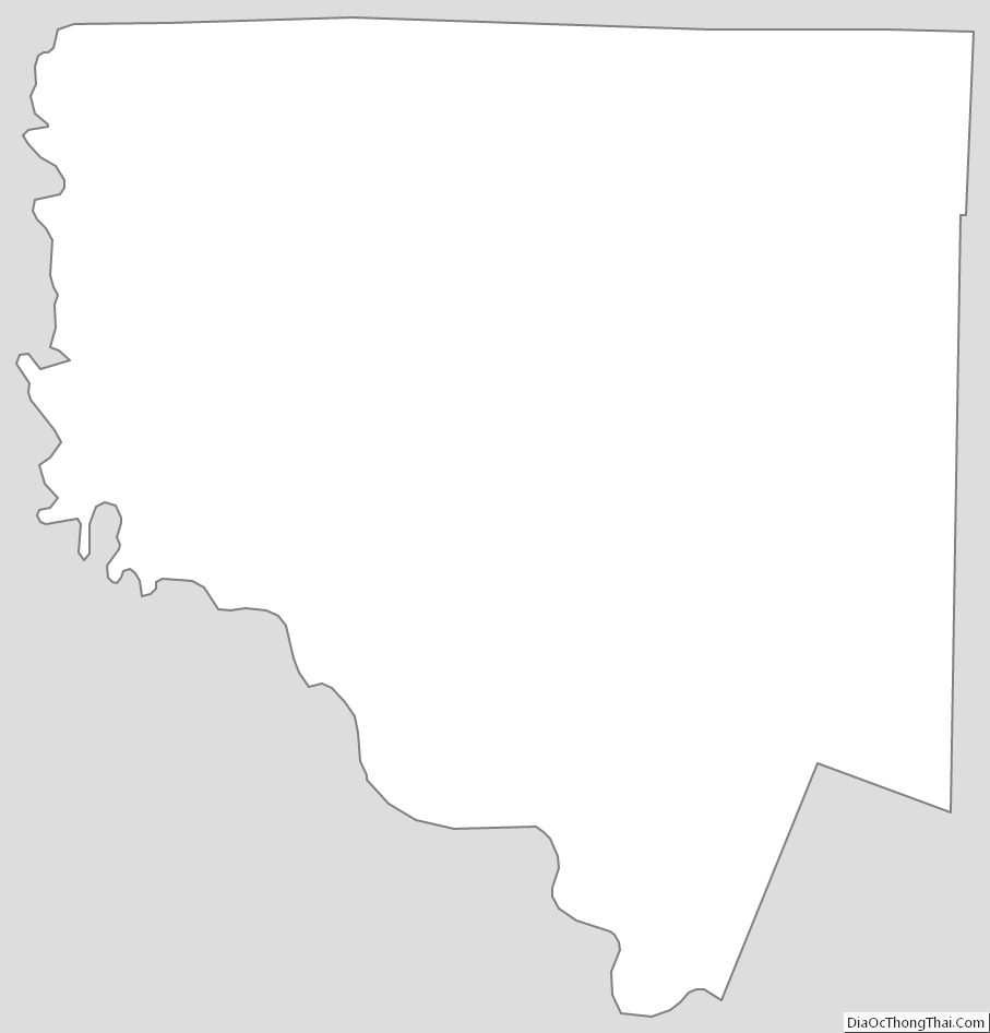
Chariton County Outline Map