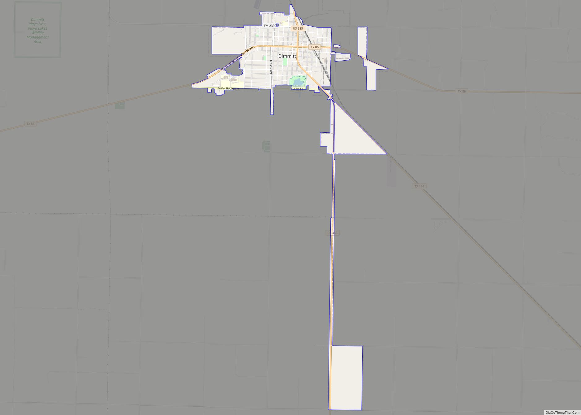
Castro County is a county located in the U.S. state of Texas. As of the 2020 census, its population was 7,371. Its county seat is Dimmitt. The county was named for Henri Castro, who was consul general to France for the Republic of Texas and the founder of a colony in Texas.
The county was originally created in 1876 and was organized in 1891.
| Name: | Castro County |
|---|---|
| FIPS code: | 48-069 |
| State: | Texas |
| Founded: | 1891 |
| Named for: | Henri Castro |
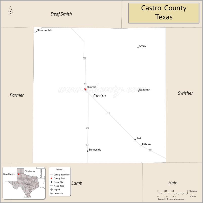
| Seat: | Dimmitt |
| Largest city: | Dimmitt |
| Total Area: | 899 sq mi (2,330 km²) |
| Land Area: | 894 sq mi (2,320 km²) |
| Total Population: | 7,371 |
| Population Density: | 8.2/sq mi (3.2/km²) |
| Time zone: | UTC−6 (Central) |
| Summer Time Zone (DST): | UTC−5 (CDT) |
| Website: | www.co.castro.tx.us |
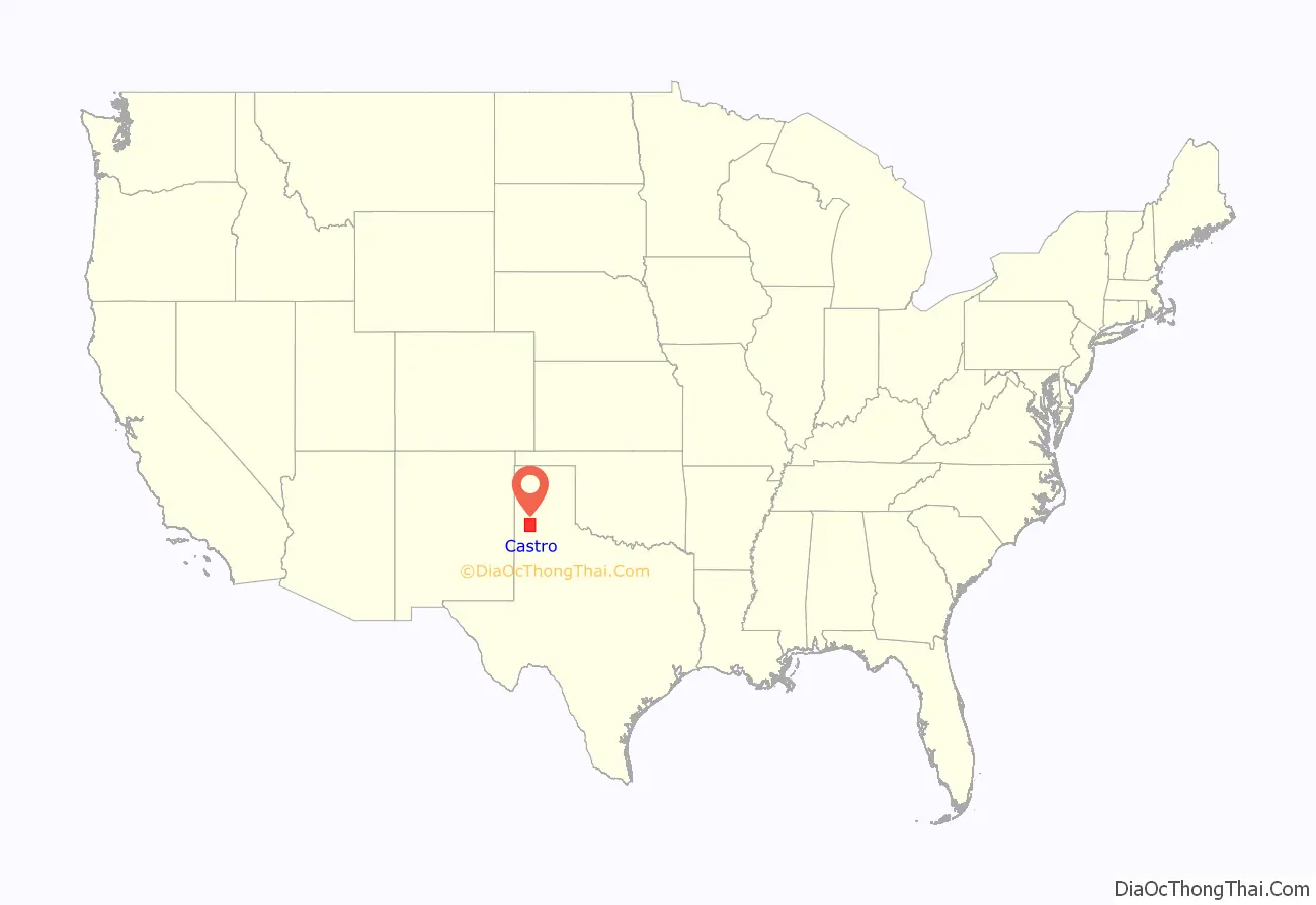
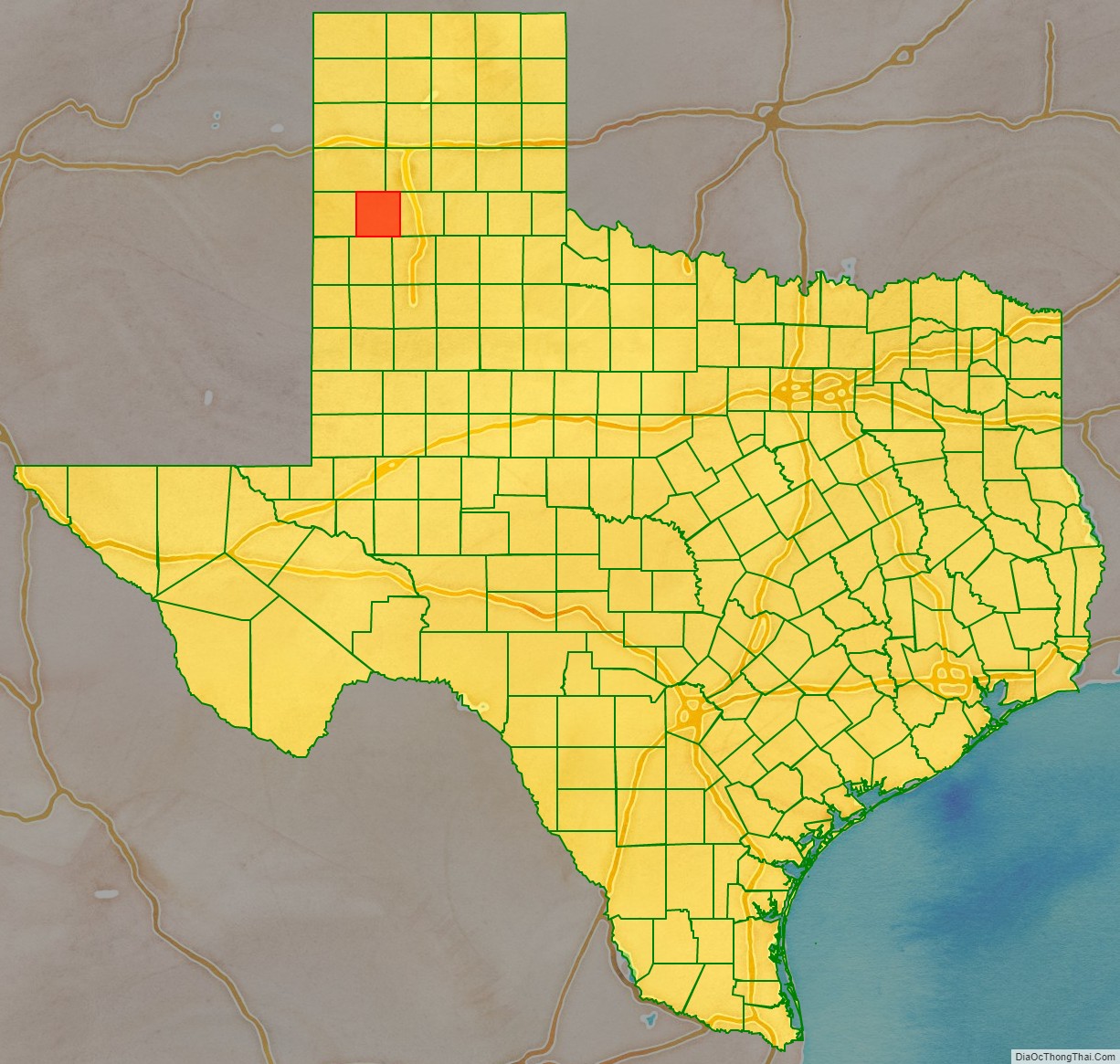
Castro County location map. Where is Castro County?
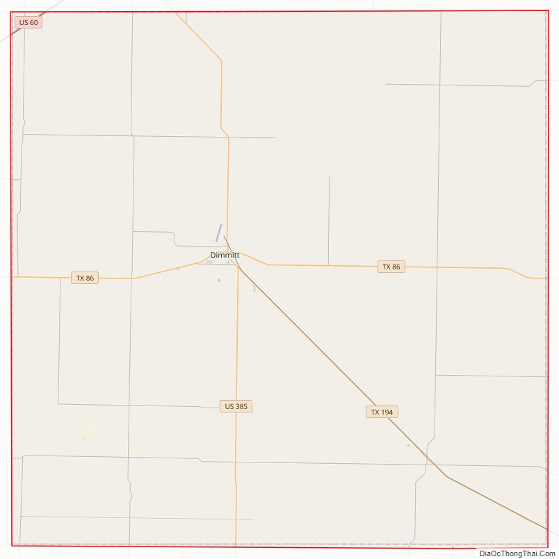
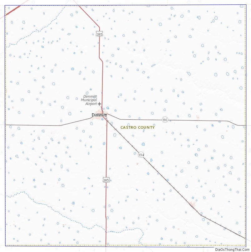
Castro County Road Map
Geography
According to the U.S. Census Bureau, the county has a total area of 899 square miles (2,330 km), of which 4.9 square miles (13 km) (0.5%) are covered by water.
Major highways
- U.S. Highway 60
- U.S. Highway 385
- State Highway 86
- State Highway 194
Adjacent counties
- Deaf Smith County (north)
- Randall County (northeast)
- Swisher County (east)
- Hale County (southeast)
- Lamb County (south)
- Parmer County (west)
Castro County Topographic Map
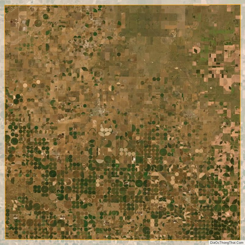
Castro County Satellite Map
Castro County Outline Map