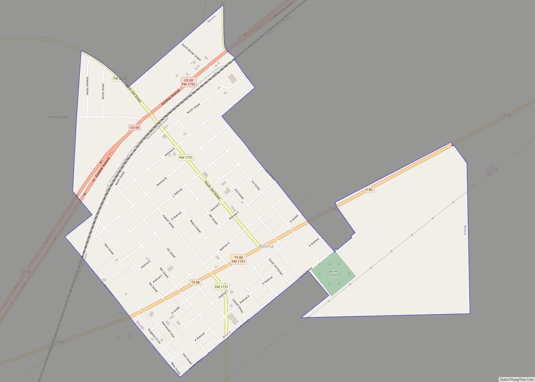
Parmer County is a county located in the southwestern Texas Panhandle on the High Plains of the Llano Estacado in the U.S. state of Texas. As of the 2020 census, the population was 9,869. The county seat is Farwell. The county was created in 1876 and later organized in 1907. It is named in honor of Martin Parmer, a signer of the Texas Declaration of Independence and early judge. Parmer County was one of 10 prohibition, or entirely dry, counties in the state of Texas, but is now a wet county.
| Name: | Parmer County |
|---|---|
| FIPS code: | 48-369 |
| State: | Texas |
| Founded: | 1907 |
| Named for: | Martin Parmer |
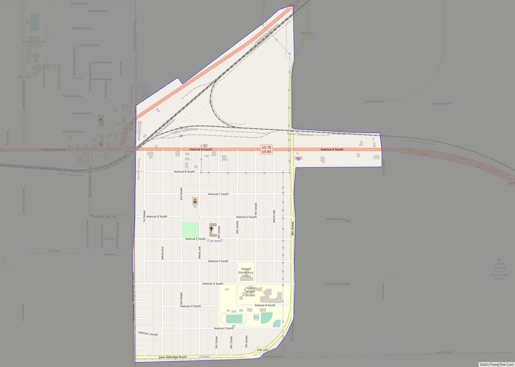
| Seat: | Farwell |
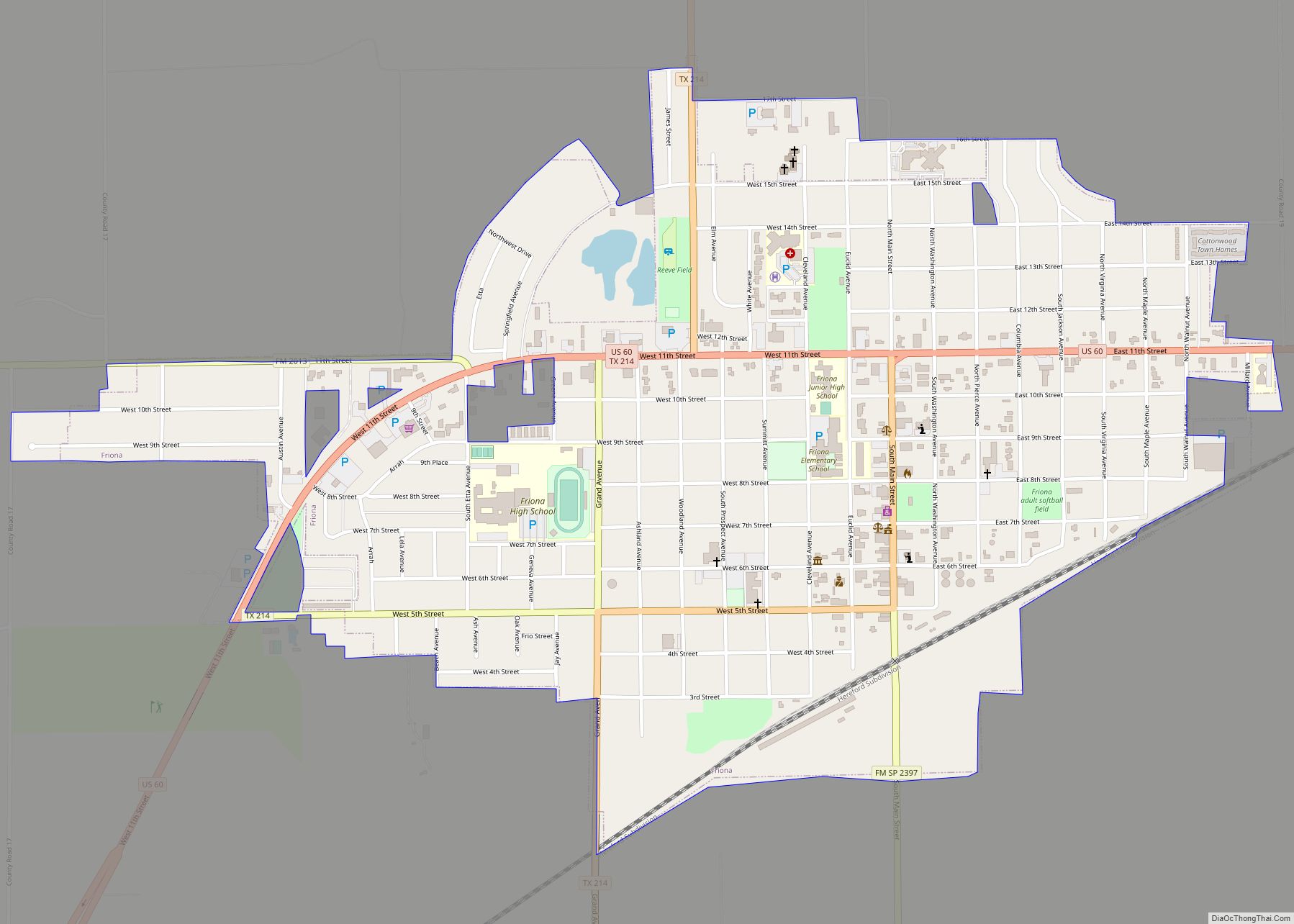
| Largest city: | Friona |
| Total Area: | 885 sq mi (2,290 km²) |
| Land Area: | 881 sq mi (2,280 km²) |
| Total Population: | 9,869 |
| Population Density: | 11/sq mi (4.3/km²) |
| Time zone: | UTC−6 (Central) |
| Summer Time Zone (DST): | UTC−5 (CDT) |
| Website: | parmercounty.org |
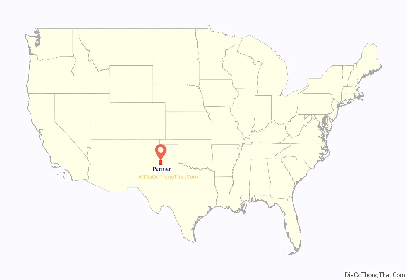
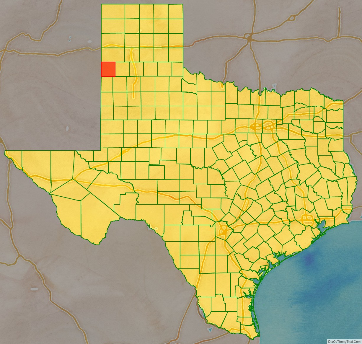
Parmer County location map. Where is Parmer County?
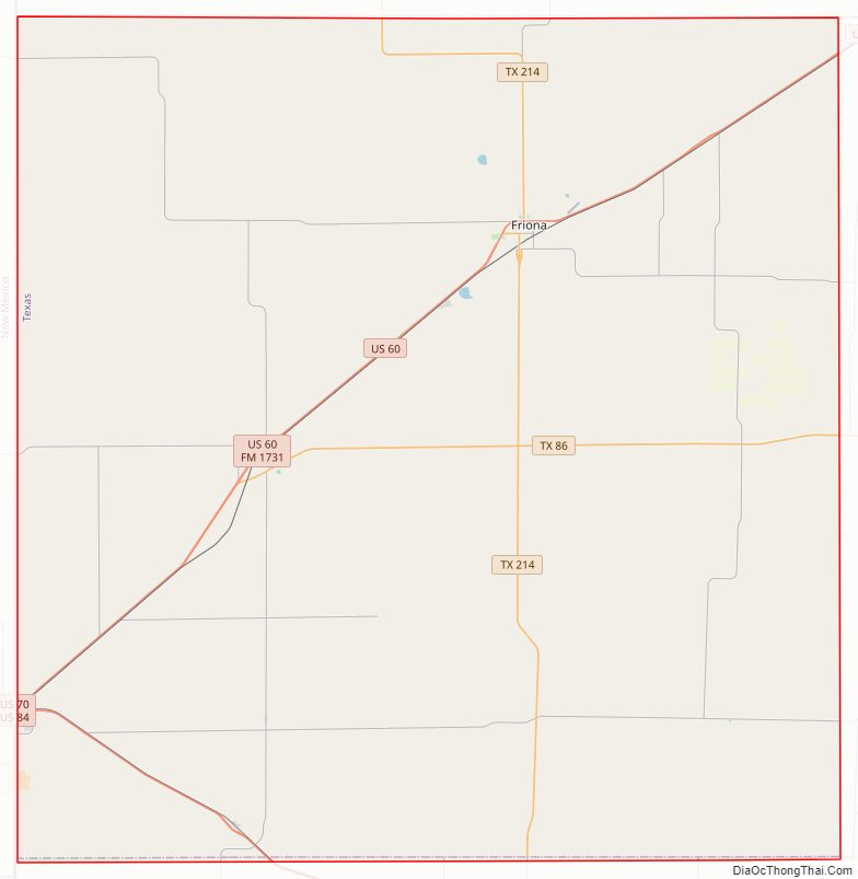
Parmer County Road Map
Geography
According to the U.S. Census Bureau, the county has a total area of 885 square miles (2,290 km), of which 881 square miles (2,280 km) are land and 4.4 square miles (11 km) (0.5%) are covered by water.
Major highways
- U.S. Highway 60
- U.S. Highway 70
- U.S. Highway 84
- State Highway 86
- State Highway 214
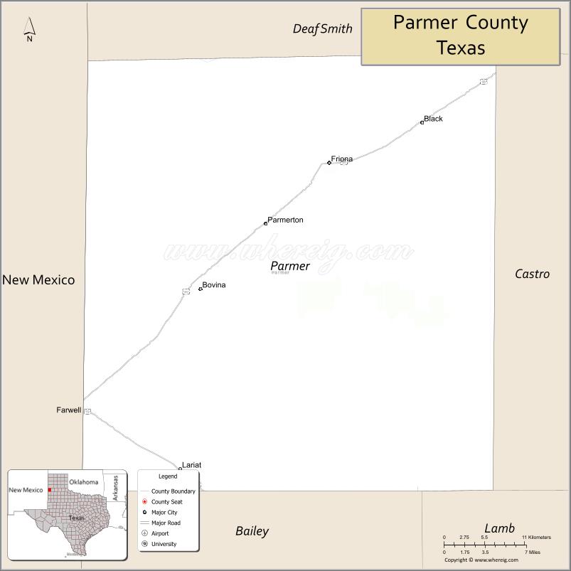
Adjacent counties
- Deaf Smith County (north)
- Castro County (east)
- Lamb County (southeast)
- Bailey County (south)
- Curry County, New Mexico (west/Mountain Time Zone)
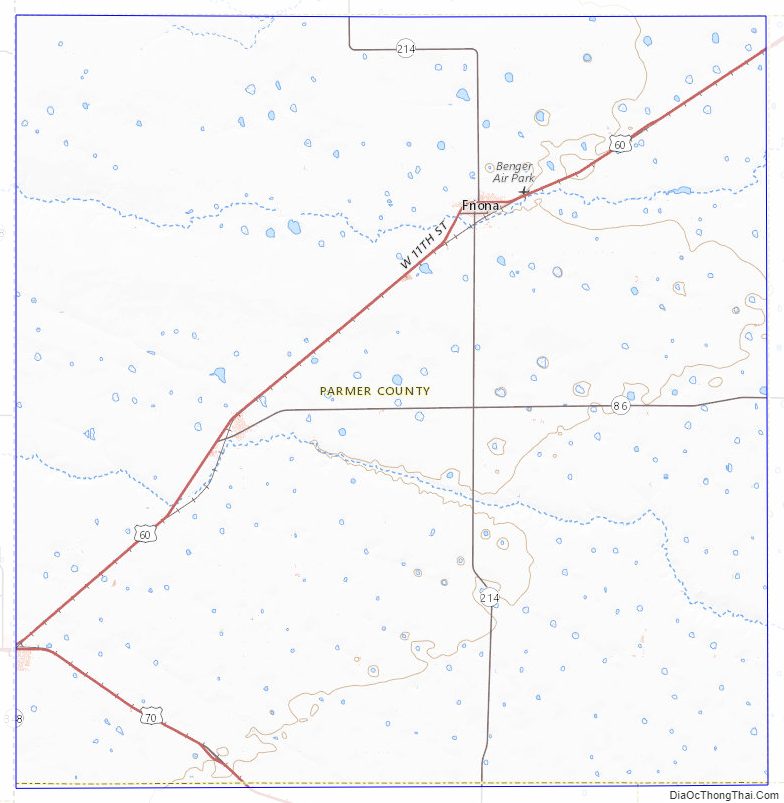
Parmer County Topographic Map
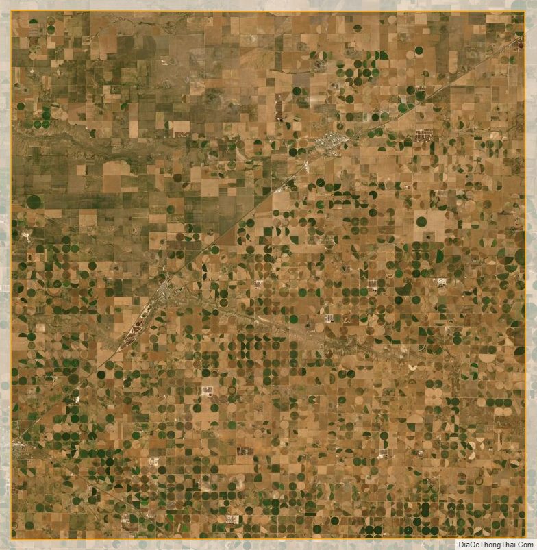
Parmer County Satellite Map
Parmer County Outline Map