Hutchinson County is a county in the U.S. state of South Dakota. As of the 2020 United States Census, the population was 7,427. Its county seat is Olivet. The county was created in 1862 and organized in 1871; it was named for John Hutchinson, first territorial secretary.
| Name: | Hutchinson County |
|---|---|
| FIPS code: | 46-067 |
| State: | South Dakota |
| Founded: | 1862 |
| Named for: | John Hutchinson |
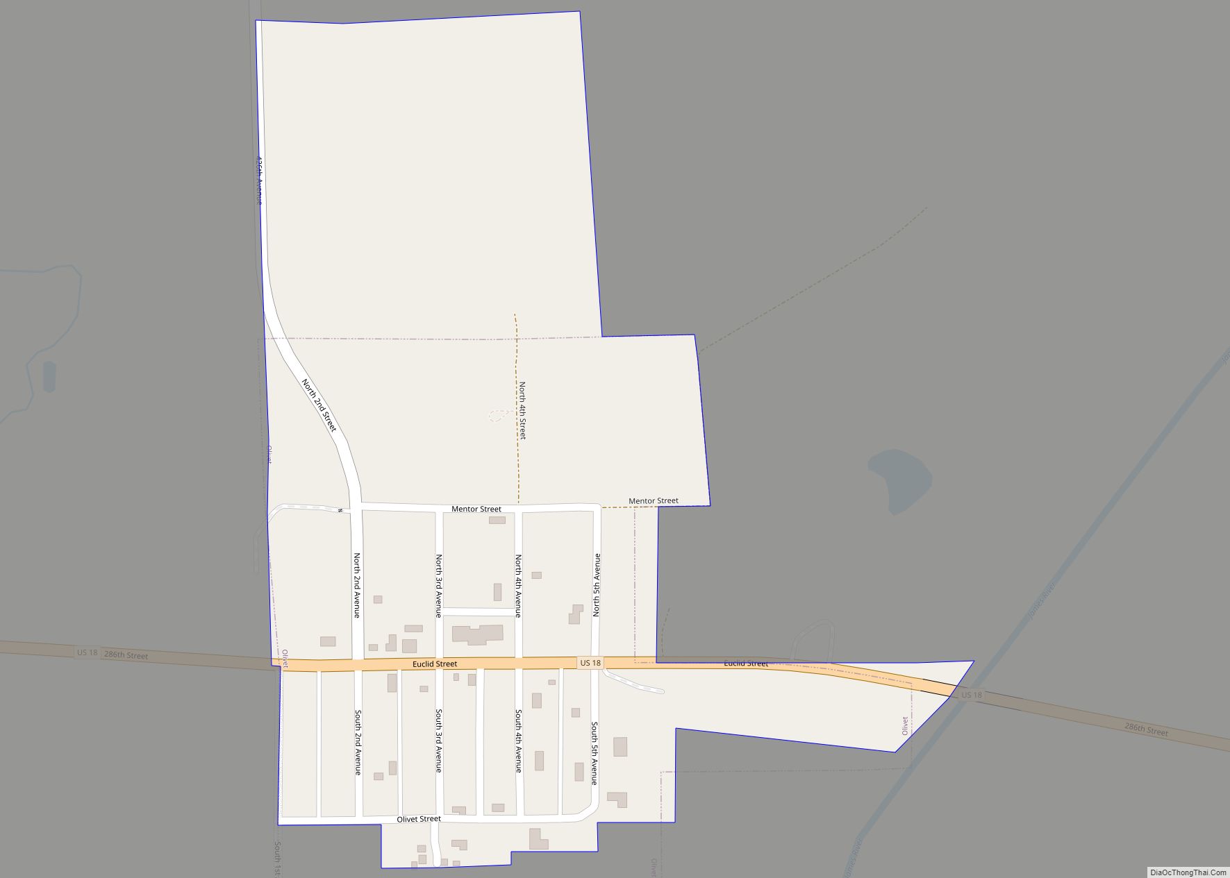
| Seat: | Olivet |
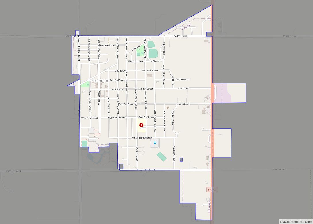
| Largest city: | Parkston |
| Total Area: | 814 sq mi (2,110 km²) |
| Land Area: | 813 sq mi (2,110 km²) |
| Total Population: | 7,427 |
| Population Density: | 9.1/sq mi (3.5/km²) |
| Time zone: | UTC−6 (Central) |
| Summer Time Zone (DST): | UTC−5 (CDT) |
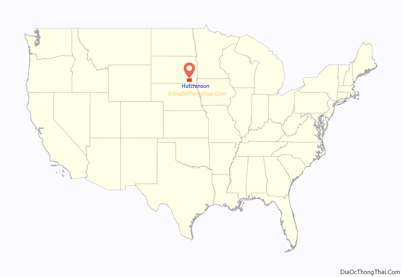
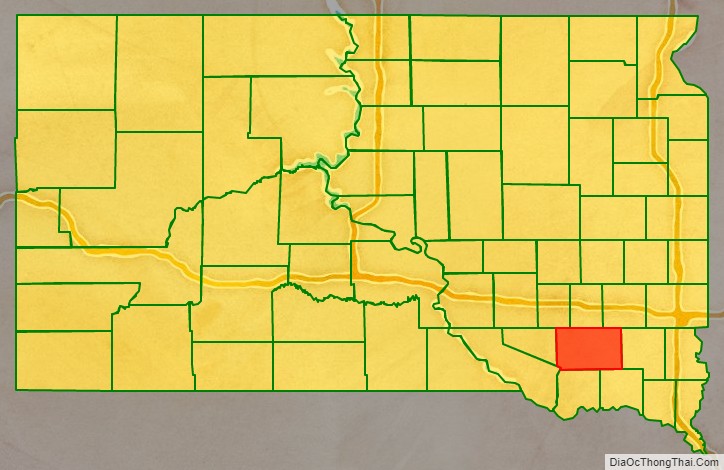
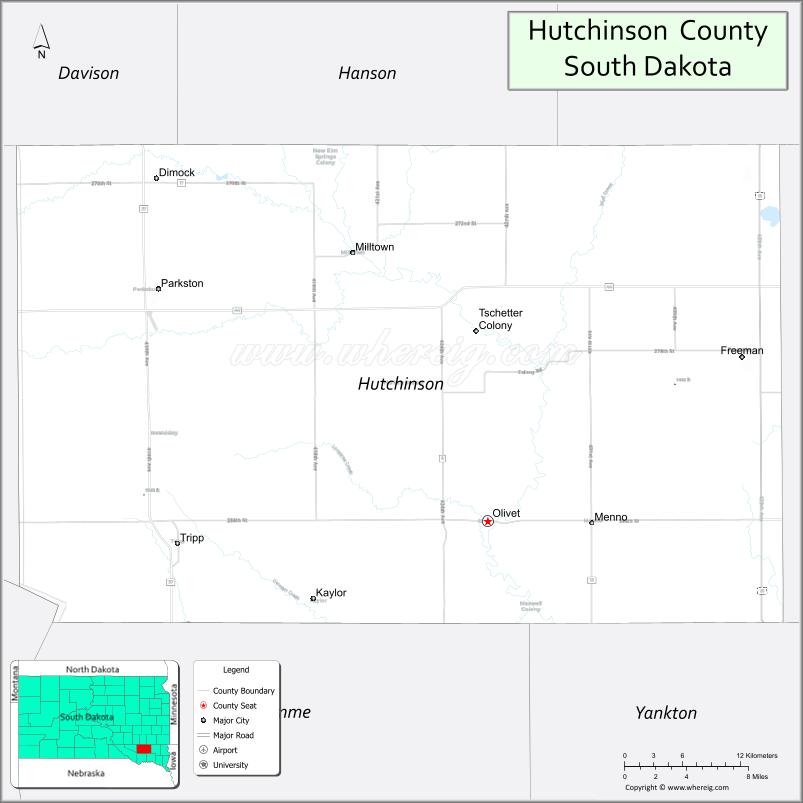
Hutchinson County location map. Where is Hutchinson County?
History
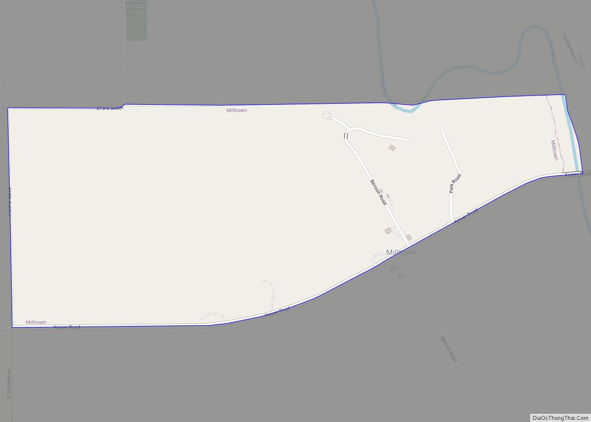
Hutchinson County was created by act of the territorial legislature on May 8, 1862. Its boundaries included portions of present-day Davison and Hanson Counties, and part of what is presently Hutchinson County was within the boundaries of Jayne County. Maxwell City was established as the county seat, and it remained there until October 1873 when it was moved to Olivet following an election. On 13 January 1871, the territorial legislature established the present county boundaries and completed its governing organization. In two actions in January 1873, the legislature divided Hutchinson County into two counties – the northern half was named Armstrong County, with Milltown as the seat. However, in 1879, Armstrong County was dissolved and its area re-annexed into Hutchinson County.
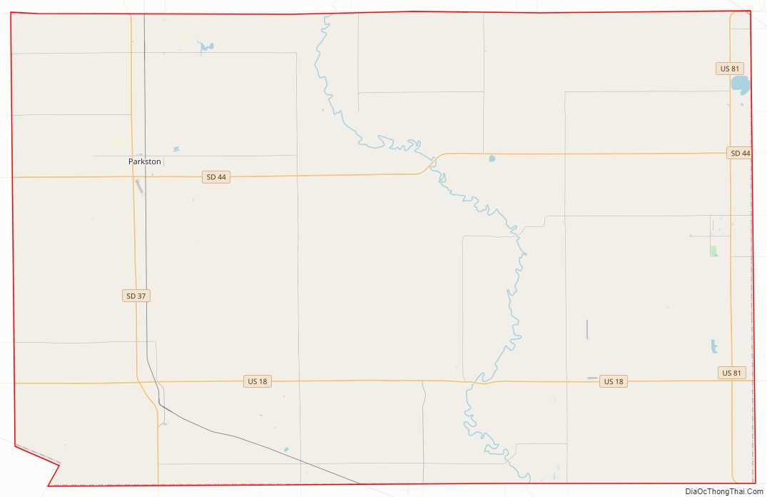
Hutchinson County Road Map
Geography
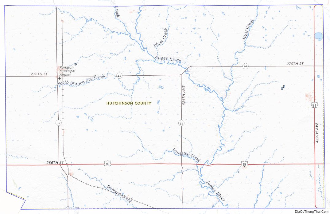
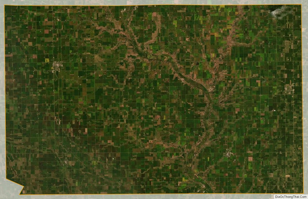
The James River flows south-southeasterly through the central part of Hutchinson County. The county’s terrain consists of rolling hills, with the area largely devoted to agriculture. The terrain slopes to the river valley from both sides, with the county’s highest point at its southwest corner: 1,880′ (573m) ASL.
Hutchinson County has a total area of 814 square miles (2,110 km), of which 813 square miles (2,110 km) is land and 1.5 square miles (3.9 km) (0.2%) is water.
Major highways
- U.S. Highway 18
- U.S. Highway 81
- South Dakota Highway 25
- South Dakota Highway 37
- South Dakota Highway 44
Adjacent counties
- Hanson County – north
- McCook County – northeast
- Turner County – east
- Yankton County – southeast
- Bon Homme County – south
- Charles Mix County – southwest
- Douglas County – west
- Davison County – northwest
Protected areas
- Mogck Slough State Public Shooting Area
- Weigher Slough State Public Shooting Area
Lakes
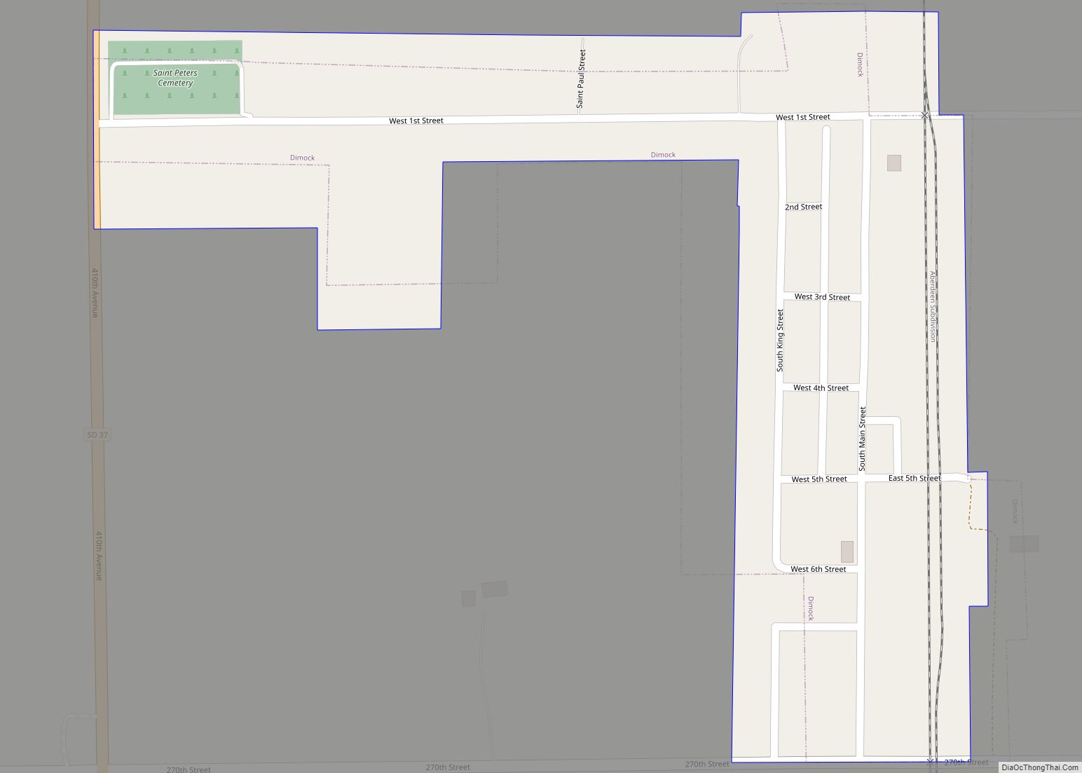
- Lake Dimock
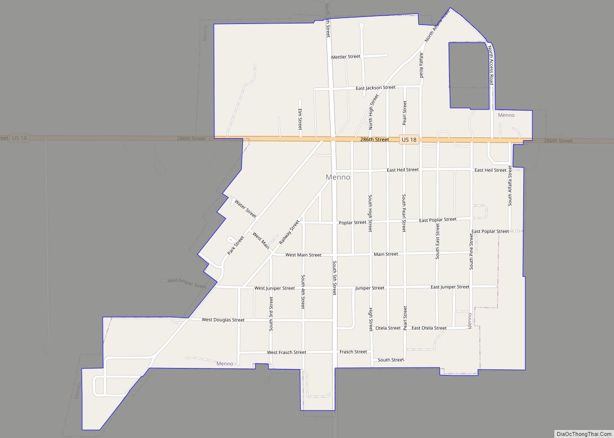
- Lake Menno
- Silver Lake
- Tripp Lake
Hutchinson County Topographic Map
Hutchinson County Satellite Map
Hutchinson County Outline Map