Chester County is a county located in the U.S. state of South Carolina. As of the 2020 census, its population was 32,294. Its county seat is Chester.
Chester County is included in the Charlotte–Concord–Gastonia, NC-SC Metropolitan Statistical Area.
| Name: | Chester County |
|---|---|
| FIPS code: | 45-023 |
| State: | South Carolina |
| Founded: | 1785 |
| Named for: | Chester, Pennsylvania |
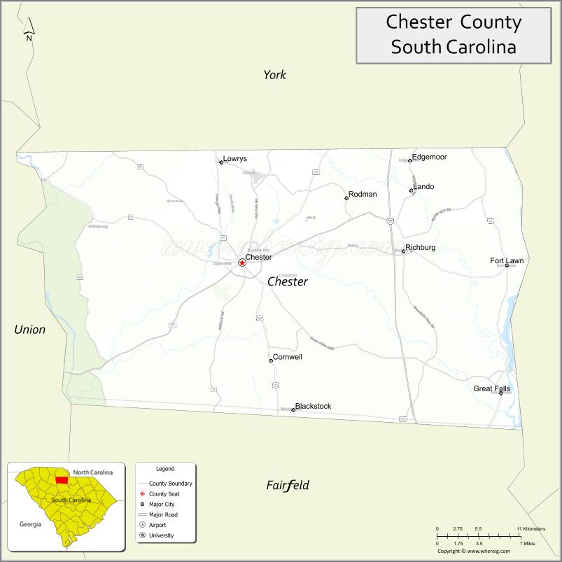
| Seat: | Chester |
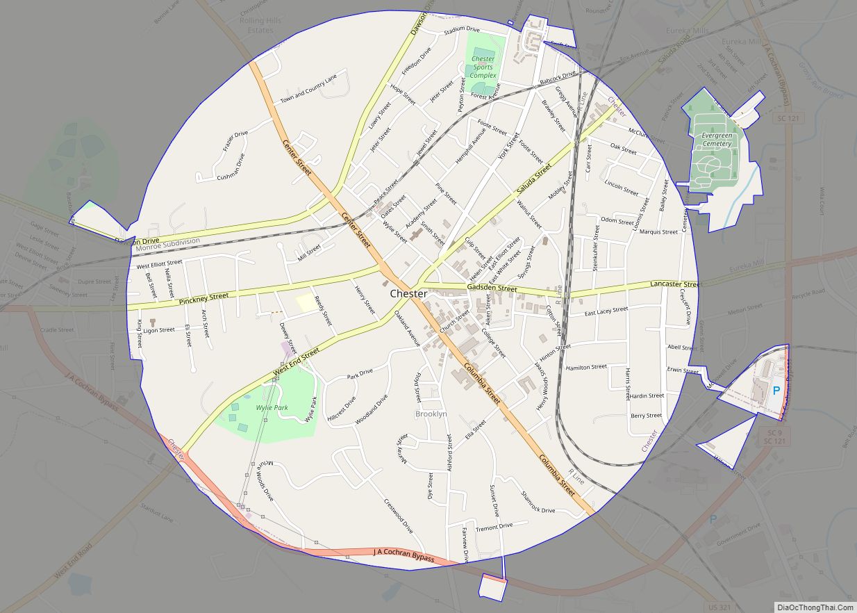
| Largest city: | Chester |
| Total Area: | 586 sq mi (1,520 km²) |
| Land Area: | 581 sq mi (1,500 km²) |
| Total Population: | 32,209 |
| Population Density: | 55.4/sq mi (21.4/km²) |
| Time zone: | UTC−5 (Eastern) |
| Summer Time Zone (DST): | UTC−4 (EDT) |
| Website: | www.chestercounty.org |
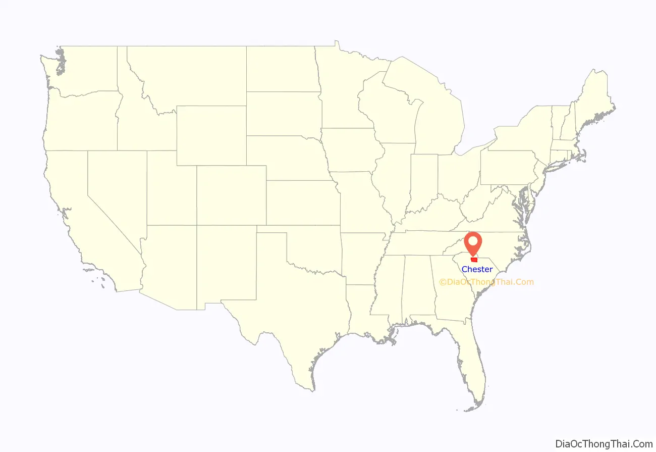
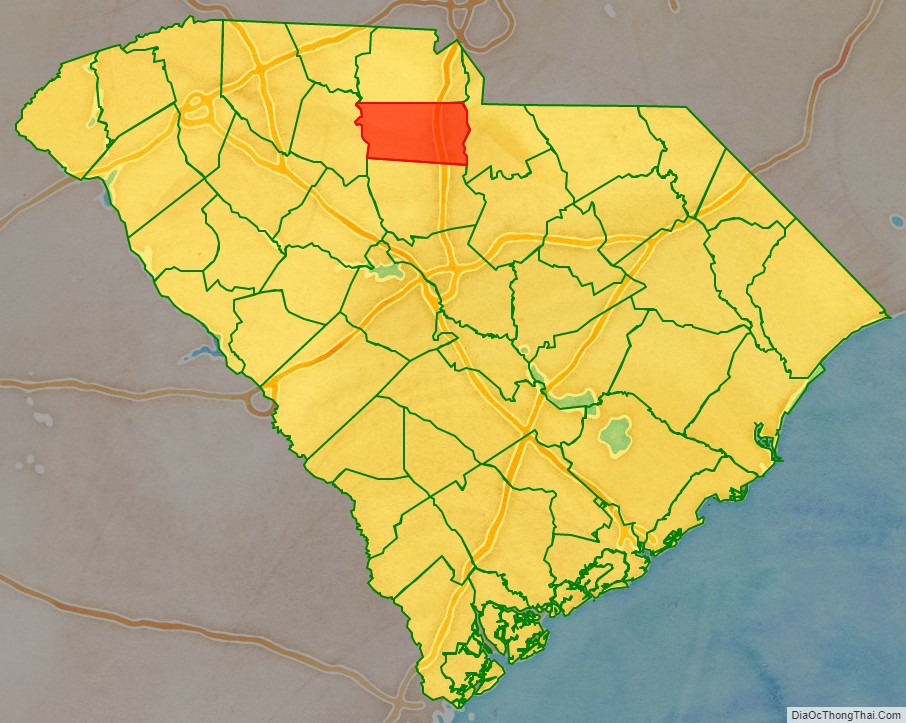
Chester County location map. Where is Chester County?
History
The county was founded in 1785 and was named after Chester, PA. The largest city and county seat is Chester, the county is also included in the Charlotte–Concord–Gastonia, NC-SC Metropolitan Statistical Area.
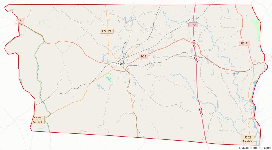
Chester County Road Map
Geography
According to the U.S. Census Bureau, the county has a total area of 586 square miles (1,520 km), of which 580.6 square miles (1,504 km) is land and 5.5 square miles (14 km) (0.9%) is water.
National protected area
- Sumter National Forest (part)
State and local protected areas
- Chester State Park
- Landsford Canal State Park
- Woods Ferry Recreation Area
Major water bodies
- Broad River
- Catawba River
- Chester Reservoir
- Great Falls Lake
- Fishing Creek Lake
Adjacent counties
- York County – north
- Lancaster County – east
- Fairfield County – south
- Union County – west
Major highways
- I-77
- US 21
- US 321
- US 321 Bus.
- SC 9
- SC 9 Bus.
- SC 49
- SC 72
- SC 97
- SC 99
- SC 121
- SC 215
- SC 223
- SC 901
- SC 909
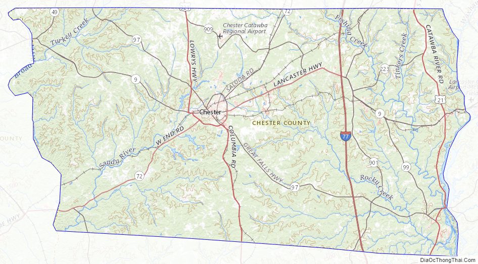
Chester County Topographic Map
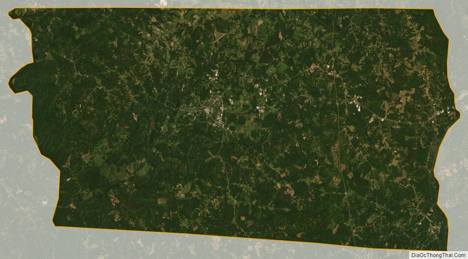
Chester County Satellite Map
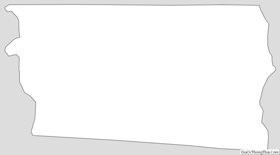
Chester County Outline Map