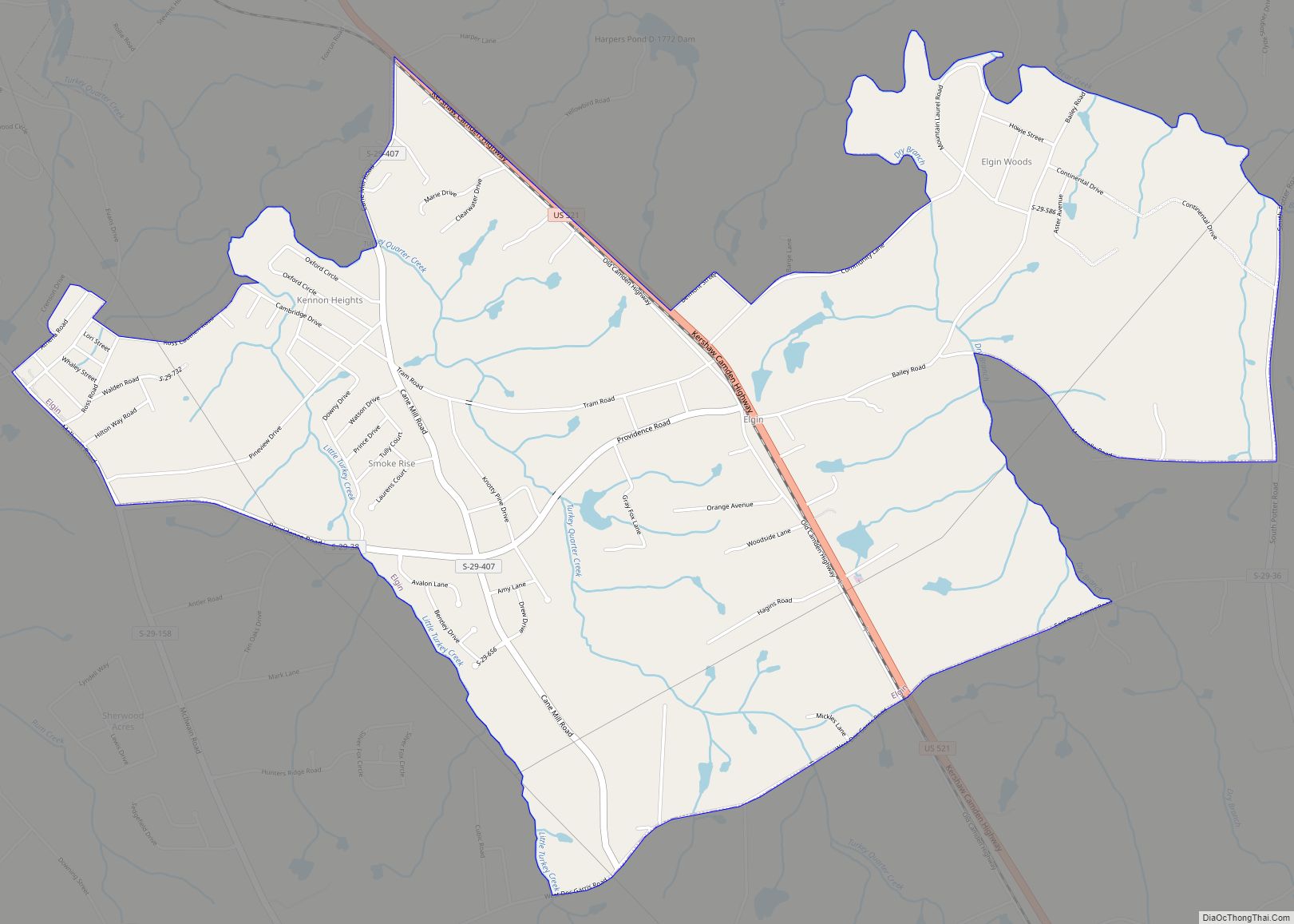
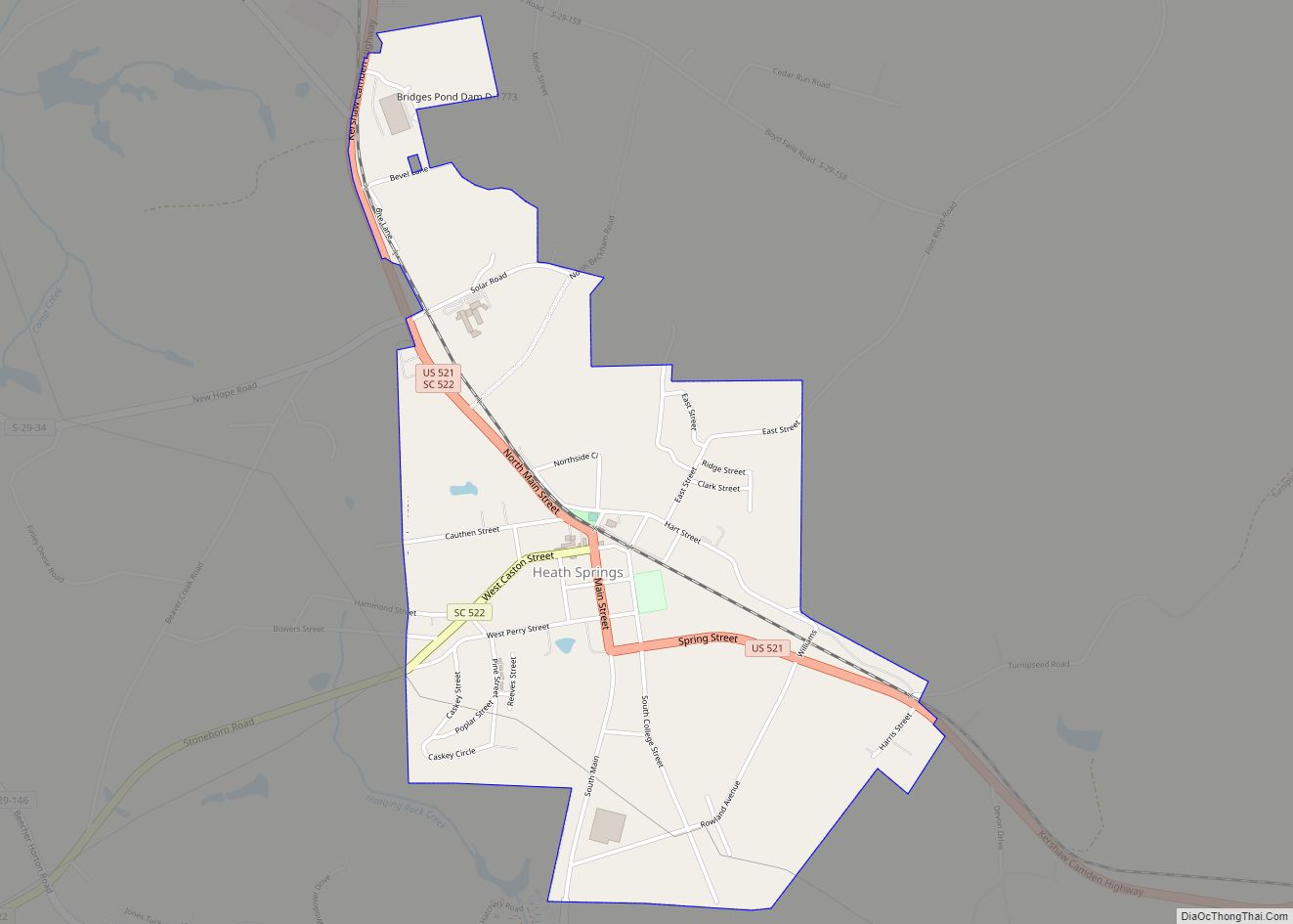
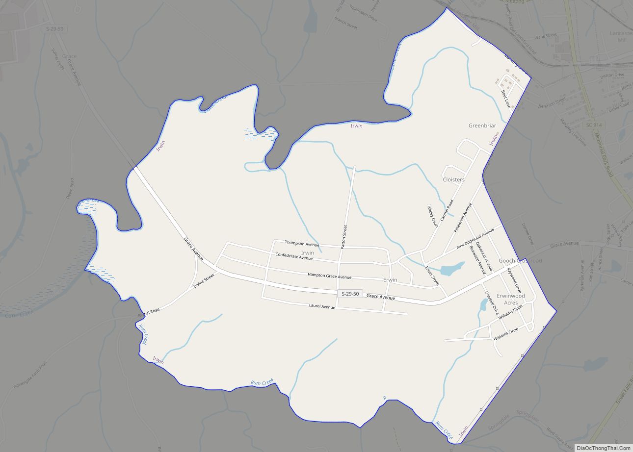
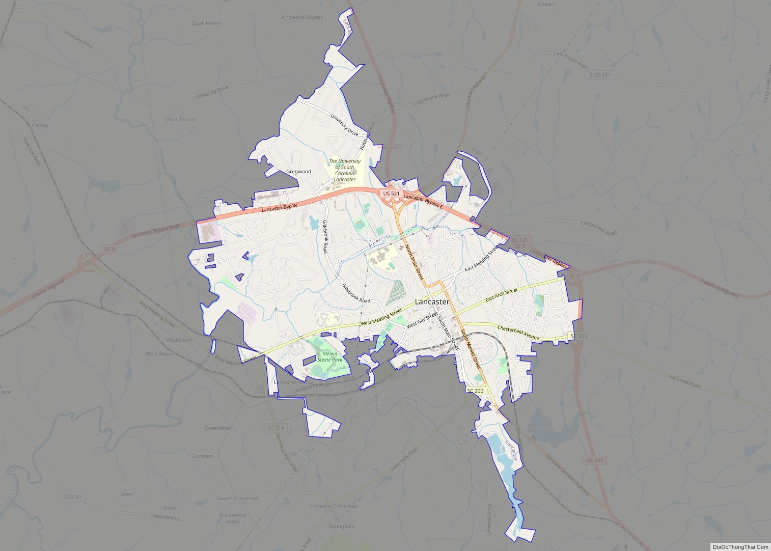
Lancaster County /ˈlæŋkəstər/ is a county located in the U.S. state of South Carolina. As of the 2020 census, its population was 96,016, Its county seat is Lancaster, which has an urban population of 23,979. The county was created in 1785.
Lancaster County is included in the Charlotte–Concord–Gastonia, NC-SC Metropolitan Statistical Area. It is located in the Piedmont region.
| Name: | Lancaster County |
|---|---|
| FIPS code: | 45-057 |
| State: | South Carolina |
| Founded: | 1785 |
| Named for: | House of Lancaster |
| Seat: | Lancaster |
| Largest city: | Lancaster |
| Total Area: | 555 sq mi (1,440 km²) |
| Land Area: | 549 sq mi (1,420 km²) |
| Total Population: | 96,016 |
| Population Density: | 170/sq mi (67/km²) |
| Time zone: | UTC−5 (Eastern) |
| Summer Time Zone (DST): | UTC−4 (EDT) |
| Website: | mylancastersc.org |
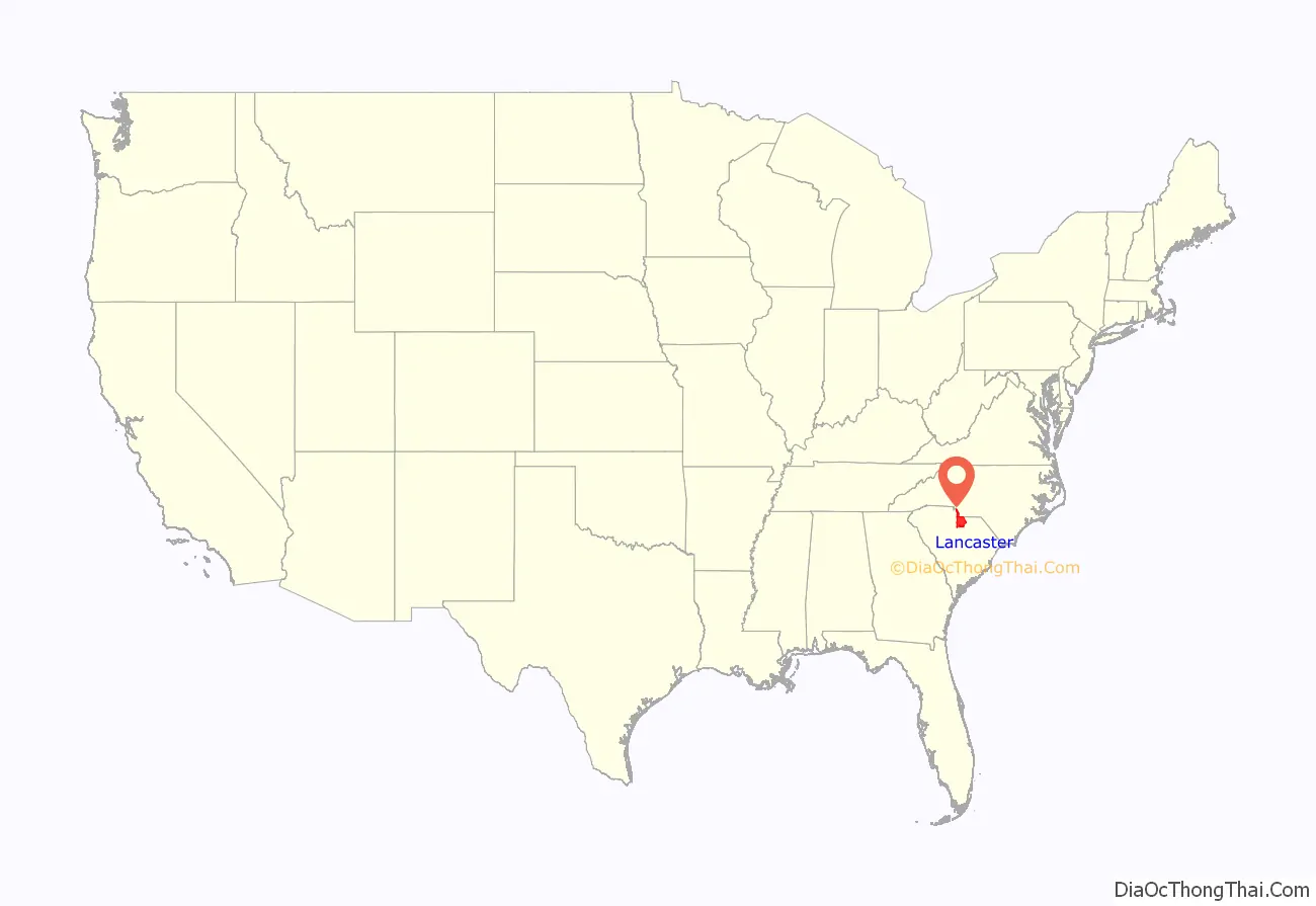
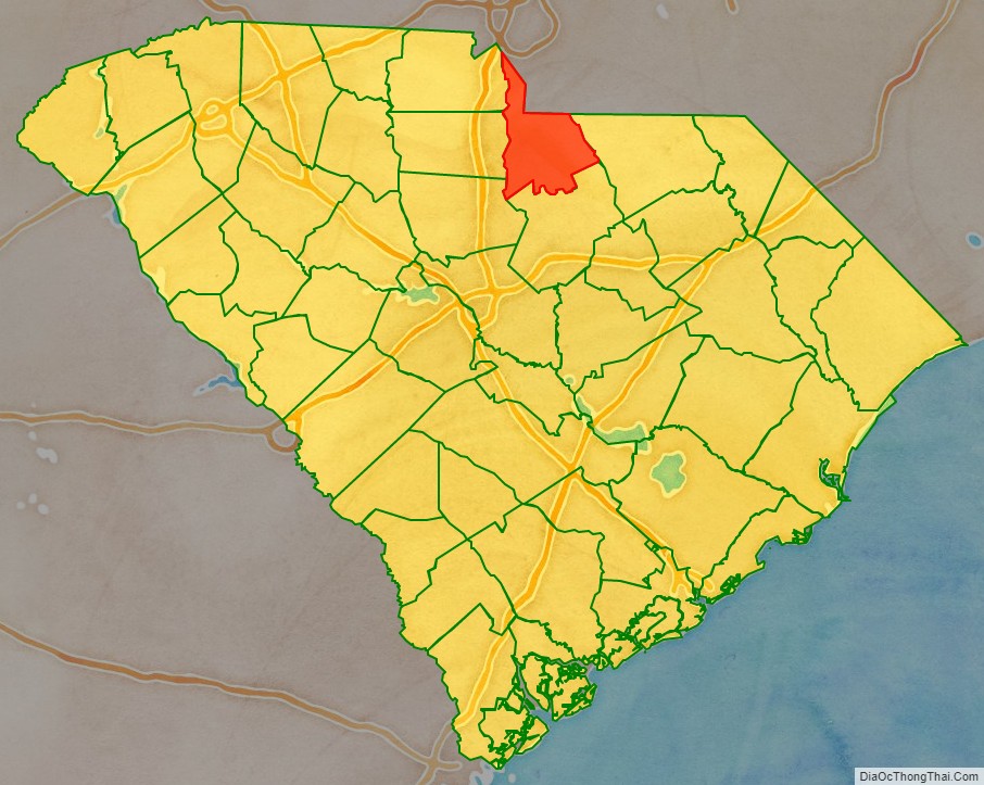
Lancaster County location map. Where is Lancaster County?
History
For hundreds of years, the Catawba Indians occupied what became organized as Lancaster County as part of their historic tribal lands. The Siouan-speaking Catawba were once considered one of the most powerful Southeastern tribes. The Catawba and other Siouan peoples are believed to have emerged and coalesced as individual tribes in the Southeast. Primarily sedentary, cultivating their own crops, the Catawba were friendly toward the early European colonists.
When the first Anglo-Europeans reached this area in the early 1750s, they settled between Rum Creek and Twelve Mile Creek. Waxhaw Creek within this area was named after the Waxhaw Indian tribe that was prominent in the region. The majority of the new settlers were Scots-Irish who had migrated from Pennsylvania, where they had landed in Philadelphia. Other Scots-Irish from the backcountry of North Carolina and Virginia joined them. A significant minority of the population was German.
Many of the early settlers migrated to South Carolina from Lancaster, Lancashire in the northwest region of England. They had named their county for the House of Lancaster, which had opposed the House of York in the struggles of 1455–85, known as the War of the Roses. The House of Lancaster chose the red rose as their emblem while their neighbor, York County, boasts the white rose.
A second settlement was made in the lower part of the present Lancaster County on Hanging Rock Creek. The South Carolina colony first made a grant to settlers there in 1752; it included the overhanging mass of rock for which the creek was named. About the time the colony opened up this section, other settlers came in and settled along Lynches Creek, Little Lynches creek, Flat Creek, Beaver Creek, and lower Camp Creek. In coming to the Lancaster area, the first settlers followed old Indian paths. The increased traffic began to enlarge the paths and improve them as dirt roads. Several settlers from the regions of Norfolk, England, Suffolk, England and Essex, England arrived in what would later become Lancaster County in the late 1750s. These settlers were overwhelming Baptists, Methodists and Anglicans. After the American Revolution, those who were Anglican became members of the Episcopal Church.
The Rocky River Road was also based on an Indian path. During the American Revolutionary War, Colonel Abraham Buford and his forces fled from Tarleton along this road. He was overtaken a few miles south of the North Carolina state line, where the Patriot forces were defeated in the Battle of Waxhaws. Locals call it Buford’s Massacre. Today, the Rocky River Road has been absorbed by part of South Carolina Highway 522, which was constructed following the old thoroughfare very closely.
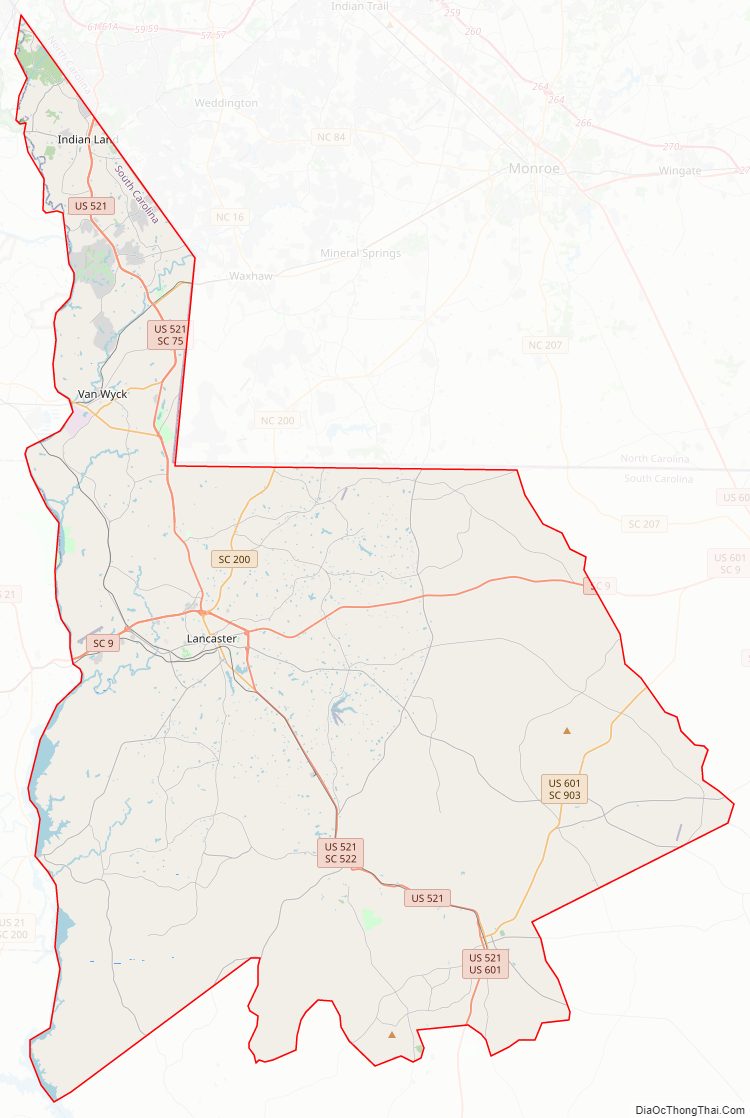
Lancaster County Road Map
Geography
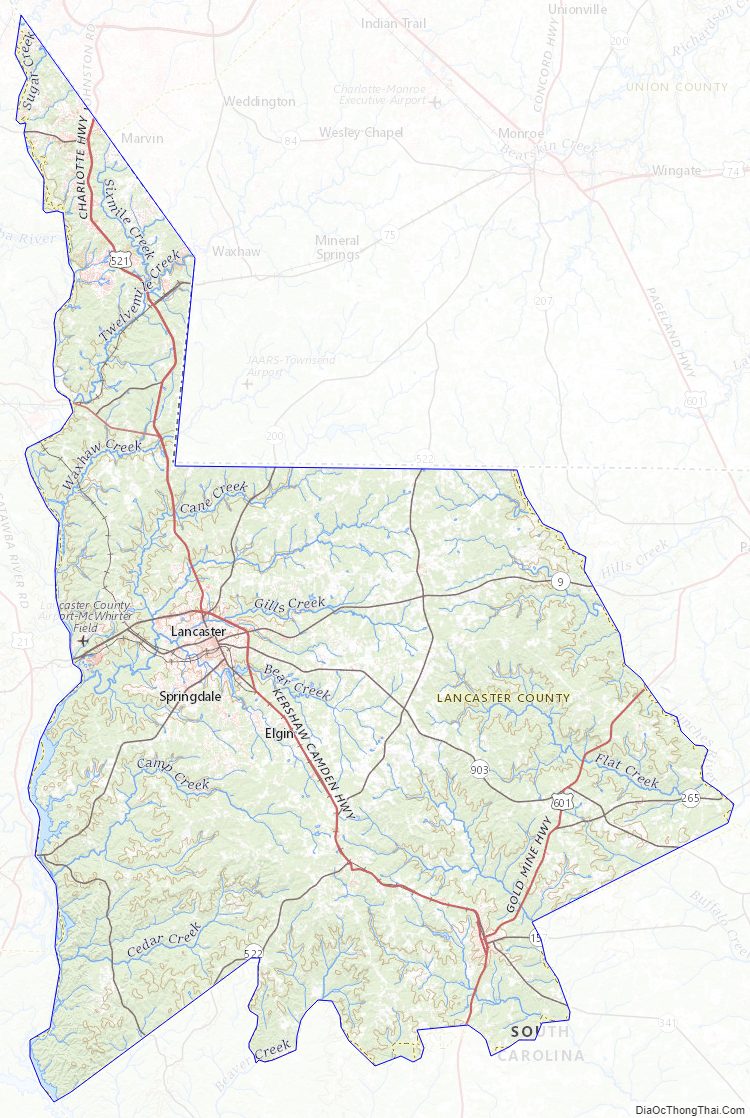
According to the U.S. Census Bureau, the county has a total area of 555 square miles (1,440 km), of which 549 square miles (1,420 km) is land and 6.0 square miles (16 km) (1.1%) is water. It is bounded on the west by the Catawba River and Sugar Creek and on the east by the Lynches River.
State and local protected areas/sites
- 40 Acre Rock Heritage Preserve
- Andrew Jackson State Park
- Buford Battleground
- Hanging Rock Battleground Property
- Historic Craig House
- Landsford Canal State Park
Major water bodies
- Catawba River
- Fishing Creek Lake
- Flat Rock Creek
- Gills Creek
- Lake Wateree
- Lynches River
- Sugar Creek
Adjacent counties
- Union County, North Carolina – northeast
- Chesterfield County – east
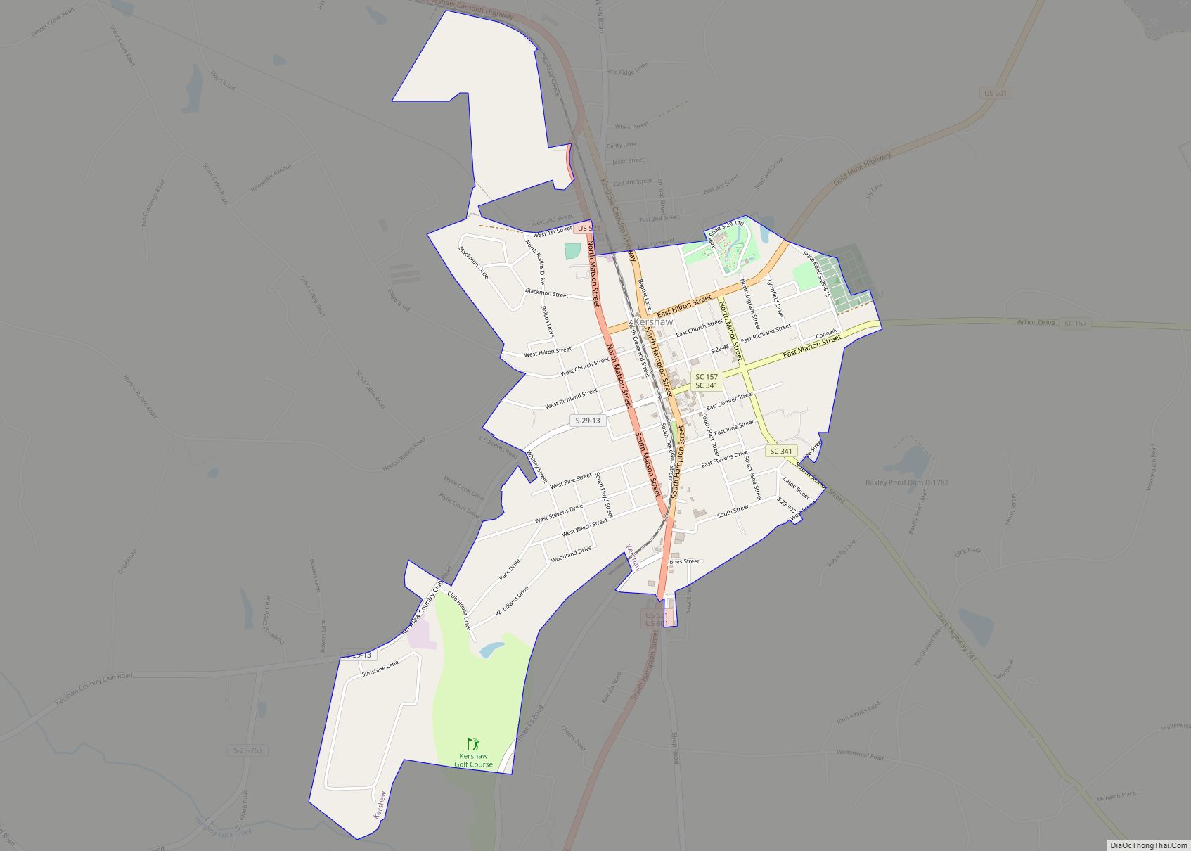
- Kershaw County – south
- Fairfield County – southwest
- York County – west
- Chester County – west
- Mecklenburg County, North Carolina – north
Major highways
- US 521
- US 521 Bus.
- US 601
- SC 5
- SC 9
- SC 9 Bus.
- SC 75
- SC 75 Truck
- SC 97
- SC 157
- SC 157 Truck
- SC 160
- SC 200
- SC 265
- SC 341
- SC 341 Truck
- SC 522
- SC 903
- SC 914
Major Infrastructure
- Lancaster County Airport
Lancaster County Topographic Map
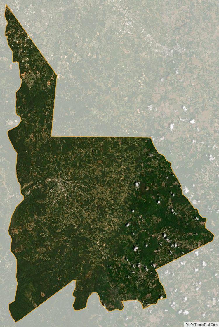
Lancaster County Satellite Map
Lancaster County Outline Map