Gastonia is the largest city in and county seat of Gaston County, North Carolina, United States. It is the second-largest satellite city of the Charlotte area, behind Concord. The population was 80,411 in the 2020 census, up from 71,741 in 2010. Gastonia is the 13th most populous city in North Carolina. It is part of the Charlotte-Concord-Gastonia, NC-SC Metropolitan Statistical Area, which is part of the Charlotte-Concord, NC-SC Combined Statistical Area.
The city is a historic center for textile manufacturing and was the site of the Loray Mill Strike of 1929, which became a key event in the labor movement. While manufacturing remains important to the local economy, the city also has well-developed healthcare, education, and government sectors.
| Name: | Gastonia city |
|---|---|
| LSAD Code: | 25 |
| LSAD Description: | city (suffix) |
| State: | North Carolina |
| County: | Gaston County |
| Incorporated: | 1877 |
| Elevation: | 797 ft (243 m) |
| Land Area: | 51.99 sq mi (134.65 km²) |
| Water Area: | 0.23 sq mi (0.59 km²) |
| Population Density: | 1,546.66/sq mi (597.17/km²) |
| ZIP code: | 28052-28056 |
| Area code: | 704, 980 |
| FIPS code: | 3725580 |
| GNISfeature ID: | 0985606 |
| Website: | www.cityofgastonia.com |
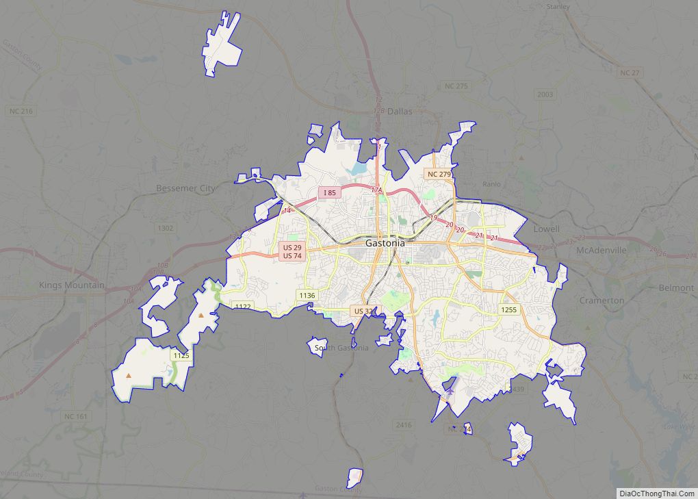
Online Interactive Map
Click on ![]() to view map in "full screen" mode.
to view map in "full screen" mode.
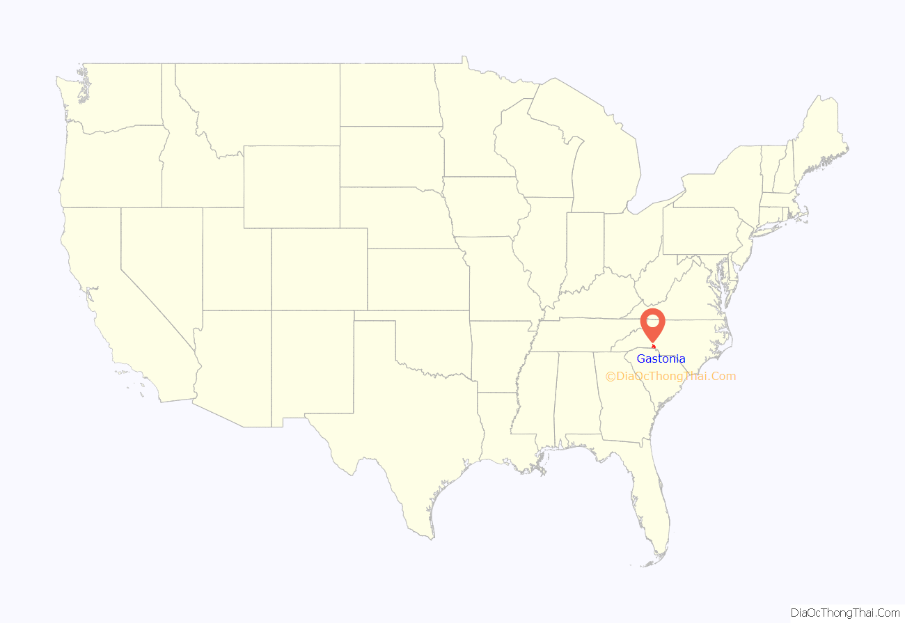
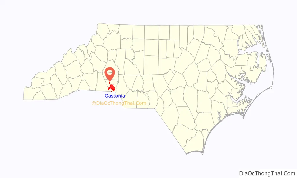
Gastonia location map. Where is Gastonia city?
History
Gastonia is named for William Gaston, a jurist and United States Representative from North Carolina.
The Loray Mill strike occurred in Gastonia in 1929. The role of organizers for Communist Party-affiliated National Textile Workers Union (NTWU) alienated religious leaders in Gastonia, who denounced the organizers’ ideology, undermining support for the strike. The strike collapsed after the death of Gastonia’s police chief, Orville Alderholt, led to a murder trial of several militants including NTWU chief organizer Fred Beal. Beal was convicted in the killing but fled to the Soviet Union. The strike largely failed in attaining its goals of better working conditions and wages, and the American labor movement was never able to gain a foothold among textile workers in Gastonia. The strike, however, became for a while an international cause célèbre, figuring in several novels published in the 1930s.
National Register of Historic Places
The City Hospital-Gaston Memorial Hospital, Craig Farmstead, Downtown Gastonia Historic District, First National Bank Building, Gaston County Courthouse, Gastonia High School, David Jenkins House, Loray Mill Historic District, Robinson-Gardner Building, Third National Bank Building, and William J. Wilson House are listed on the National Register of Historic Places.
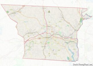
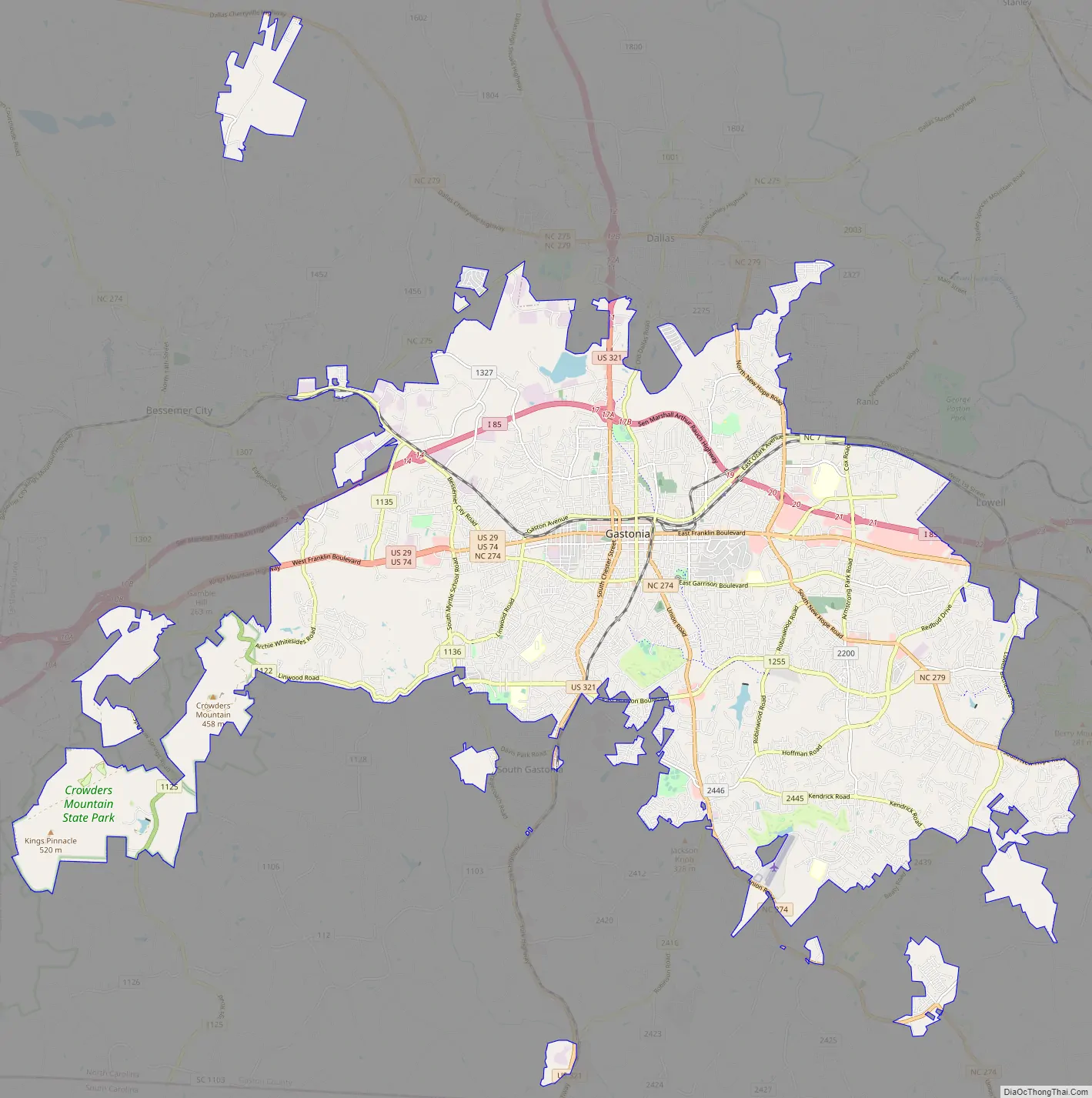
Gastonia Road Map
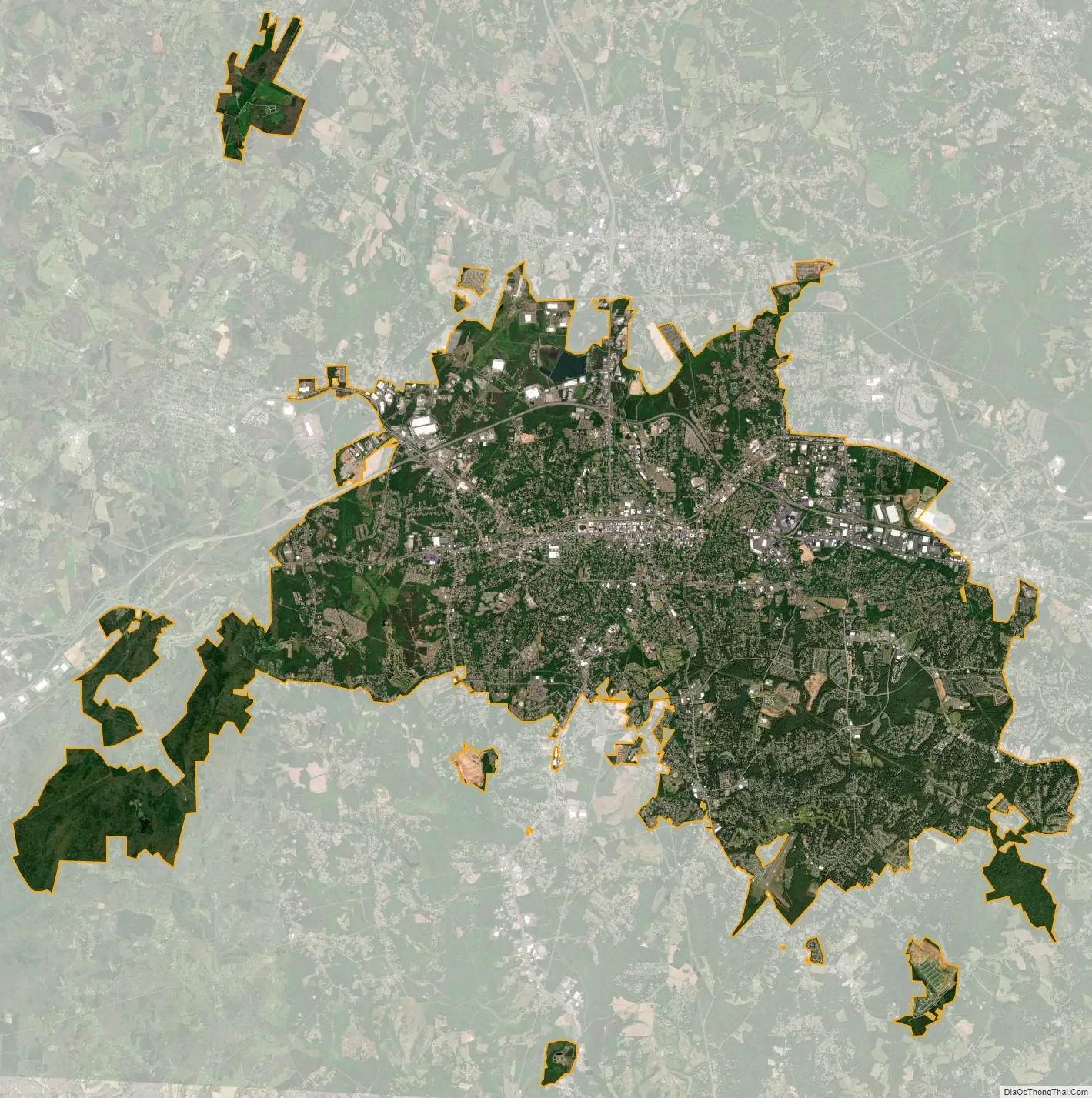
Gastonia city Satellite Map
Geography
According to the United States Census Bureau, the city has a total area of 50.7 square miles (131.4 km), of which 50.5 square miles (130.8 km) is land and 0.23 square miles (0.6 km), or 0.45%, is water. Gastonia occupies 14% of the total area of Gaston County. Gastonia is approximately 21 miles (34 km) west of Charlotte, 22 miles (35 km) east of Shelby, and 37 miles (60 km) south of Hickory.
See also
Map of North Carolina State and its subdivision:- Alamance
- Alexander
- Alleghany
- Anson
- Ashe
- Avery
- Beaufort
- Bertie
- Bladen
- Brunswick
- Buncombe
- Burke
- Cabarrus
- Caldwell
- Camden
- Carteret
- Caswell
- Catawba
- Chatham
- Cherokee
- Chowan
- Clay
- Cleveland
- Columbus
- Craven
- Cumberland
- Currituck
- Dare
- Davidson
- Davie
- Duplin
- Durham
- Edgecombe
- Forsyth
- Franklin
- Gaston
- Gates
- Graham
- Granville
- Greene
- Guilford
- Halifax
- Harnett
- Haywood
- Henderson
- Hertford
- Hoke
- Hyde
- Iredell
- Jackson
- Johnston
- Jones
- Lee
- Lenoir
- Lincoln
- Macon
- Madison
- Martin
- McDowell
- Mecklenburg
- Mitchell
- Montgomery
- Moore
- Nash
- New Hanover
- Northampton
- Onslow
- Orange
- Pamlico
- Pasquotank
- Pender
- Perquimans
- Person
- Pitt
- Polk
- Randolph
- Richmond
- Robeson
- Rockingham
- Rowan
- Rutherford
- Sampson
- Scotland
- Stanly
- Stokes
- Surry
- Swain
- Transylvania
- Tyrrell
- Union
- Vance
- Wake
- Warren
- Washington
- Watauga
- Wayne
- Wilkes
- Wilson
- Yadkin
- Yancey
- Alabama
- Alaska
- Arizona
- Arkansas
- California
- Colorado
- Connecticut
- Delaware
- District of Columbia
- Florida
- Georgia
- Hawaii
- Idaho
- Illinois
- Indiana
- Iowa
- Kansas
- Kentucky
- Louisiana
- Maine
- Maryland
- Massachusetts
- Michigan
- Minnesota
- Mississippi
- Missouri
- Montana
- Nebraska
- Nevada
- New Hampshire
- New Jersey
- New Mexico
- New York
- North Carolina
- North Dakota
- Ohio
- Oklahoma
- Oregon
- Pennsylvania
- Rhode Island
- South Carolina
- South Dakota
- Tennessee
- Texas
- Utah
- Vermont
- Virginia
- Washington
- West Virginia
- Wisconsin
- Wyoming