| Name: | Chippewa County |
|---|---|
| FIPS code: | 26-033 |
| State: | Michigan |
| Founded: | December 22, 1826 |
| Named for: | Ojibwe people |
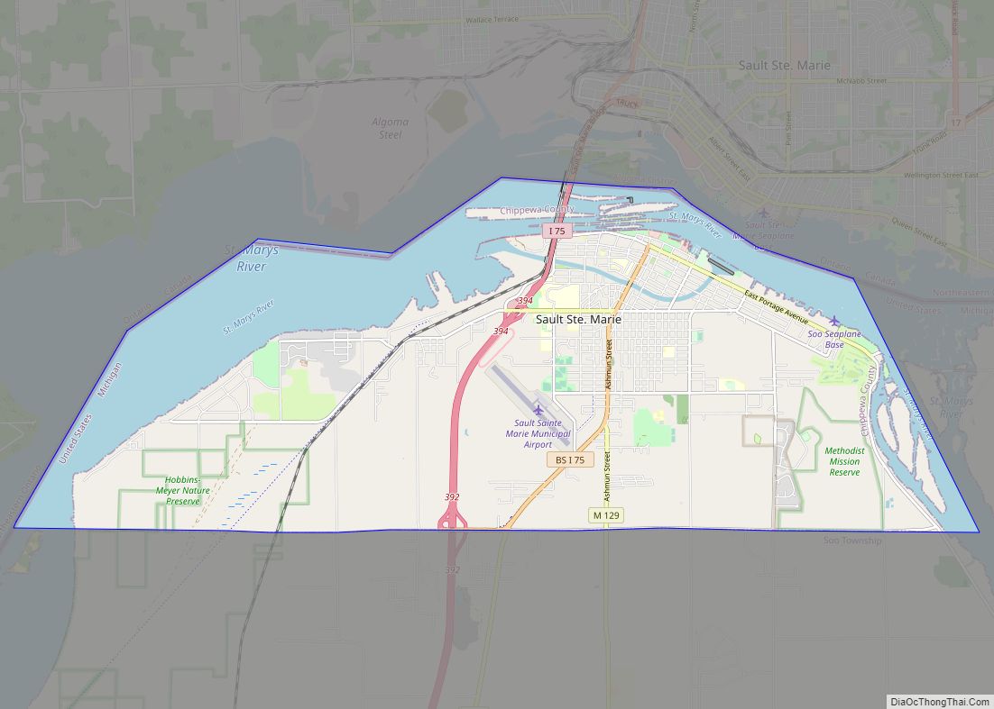
| Seat: | Sault Ste. Marie |
| Largest city: | Sault Ste. Marie |
| Total Area: | 2,698 sq mi (6,990 km²) |
| Land Area: | 1,558 sq mi (4,040 km²) |
| Total Population: | 36,785 |
| Population Density: | 25/sq mi (10/km²) |
| Time zone: | UTC−5 (Eastern) |
| Summer Time Zone (DST): | UTC−4 (EDT) |
| Website: | www.chippewacountymi.gov |
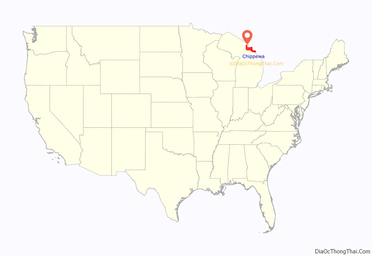
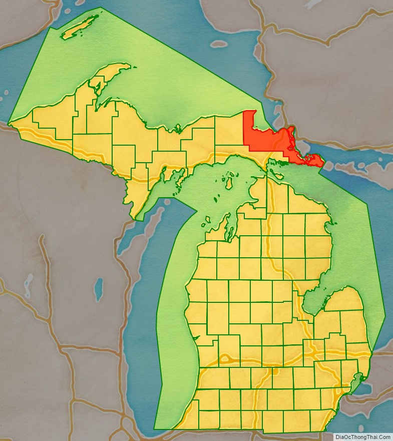
Chippewa County location map. Where is Chippewa County?
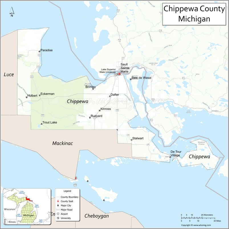
Chippewa County Road Map
Geography
According to the U.S. Census Bureau, the county has a total area of 2,698 square miles (6,990 km), of which 1,558 square miles (4,040 km) is land and 1,140 square miles (3,000 km) (42%) is water. It is the second-largest county in Michigan by land area and fifth-largest by total area.
The Michigan Meridian runs through the eastern portion of the county. South of Nine Mile Road, M-129 (Meridian Road) overlays the meridian. In Sault Ste. Marie, Meridian Street north of 12th Avenue overlays the meridian.
Adjacent counties & districts
By land
- Mackinac County (south)
- Luce County (west)
By water
- Presque Isle County (south)
- Algoma District, Ontario, Canada (north)
- Manitoulin District, Ontario, Canada (east)
National protected areas
- Harbor Island National Wildlife Refuge
- Hiawatha National Forest (part)
- Whitefish Point Unit of the Seney National Wildlife Refuge
Game areas
The Munuscong Bay is open for hunting, boating and bird watching. The area is known for its duck hunting, including mallards, divers and green-winged teal ducks. The Bay is most known for its icefishing and duck hunting. During opening weekend of duck season (late September), hundreds of hunters come from all over the state to begin their season on the Bay. This area has many types of waterfowl pass through it on their annual migrations.
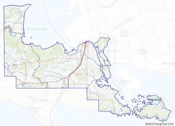
Chippewa County Topographic Map
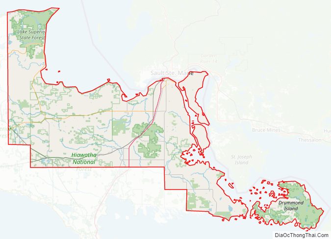
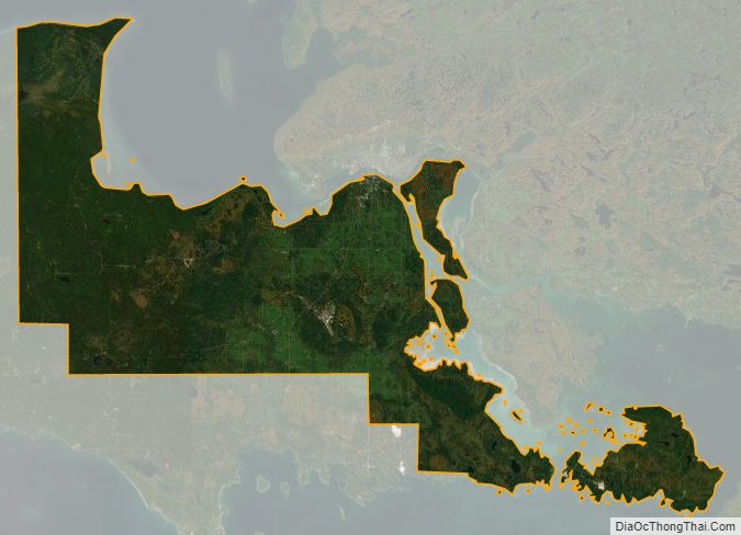
Chippewa County Satellite Map
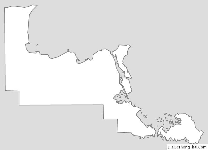
Chippewa County Outline Map