Hernando County (Spanish: Condado de Hernando) is a county located on the west central coast of the U.S. state of Florida. As of the 2020 census, the population was 194,515. Its county seat is Brooksville, and its largest community is Spring Hill.
Hernando County is included in the Tampa–St. Petersburg–Clearwater, FL Metropolitan Statistical Area. As of 2005, Hernando was the 35th fastest-growing county in the country.
| Name: | Hernando County |
|---|---|
| FIPS code: | 12-053 |
| State: | Florida |
| Founded: | February 24, 1843 |
| Named for: | Hernando de Soto |
| Seat: | Brooksville |
| Total Area: | 589 sq mi (1,530 km²) |
| Land Area: | 473 sq mi (1,230 km²) |
| Total Population: | 194,515 |
| Population Density: | 411/sq mi (159/km²) |
| Time zone: | UTC−5 (Eastern) |
| Summer Time Zone (DST): | UTC−4 (EDT) |
| Website: | www.hernandocounty.us |
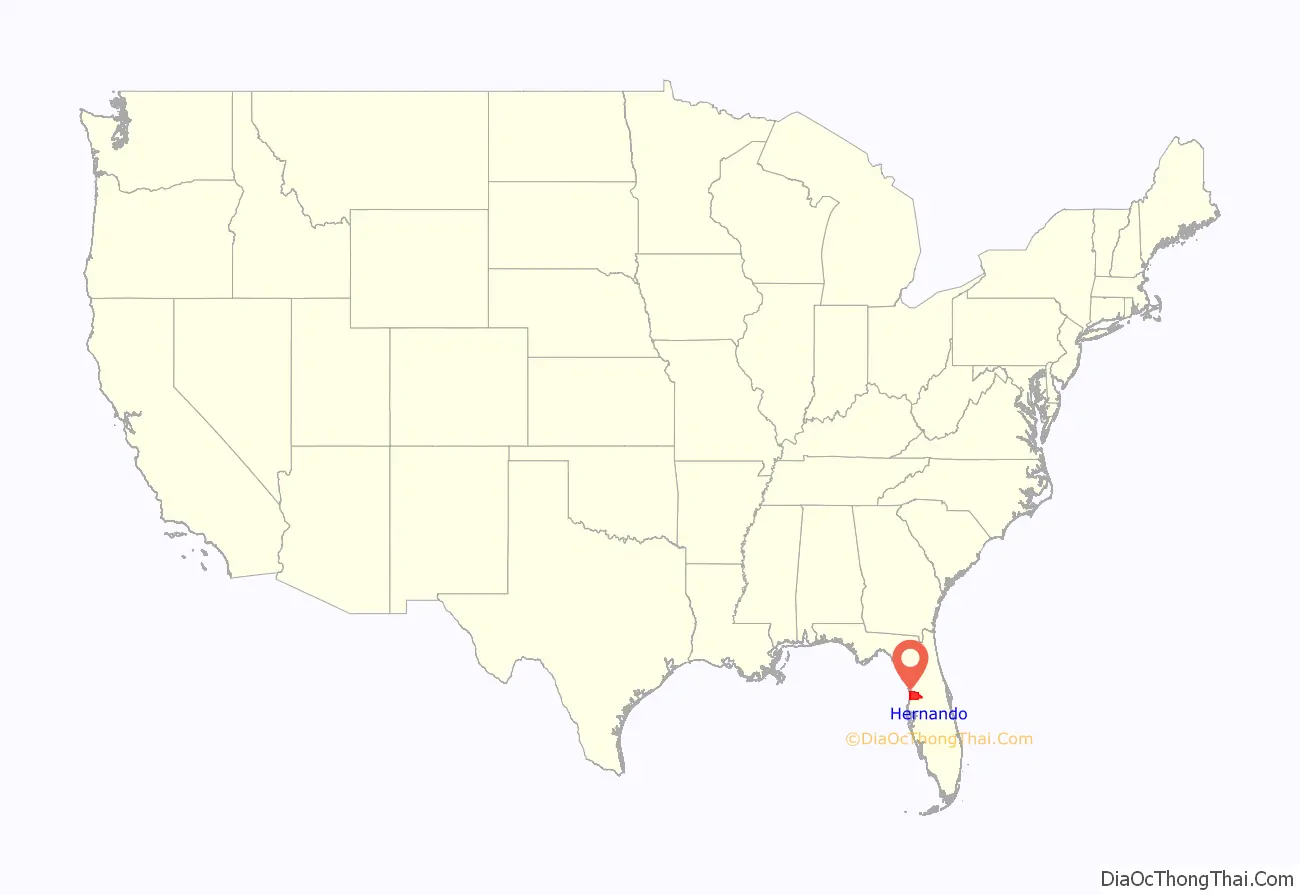
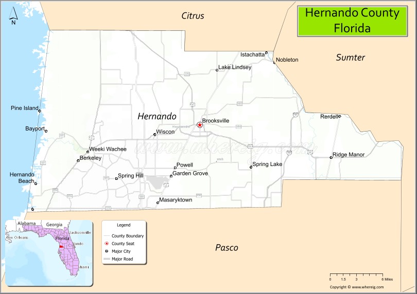
Hernando County location map. Where is Hernando County?
History
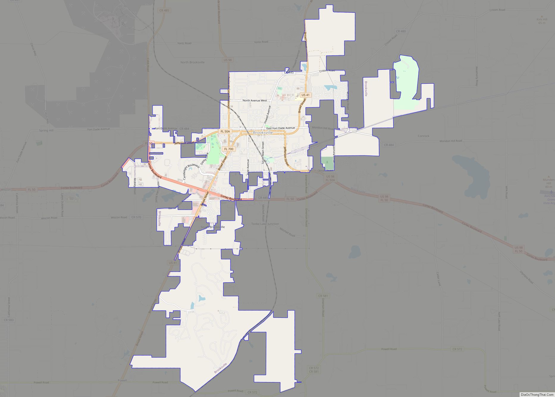
Around 1840, Fort DeSoto was established in present-day Hernando County in the northeast edge of present-day Brooksville to protect settlers in the area from Native Americans. Fort DeSoto became a small community center, trading post, and way station on the route to Tampa. Settlements started to grow near the fort beginning around 1845; two towns developed, Melendez and Pierceville, which would later merge to create Brooksville in 1856.
Then encompassing a significantly larger area of west central Florida than it does today, Hernando County was officially established on February 27, 1843, two years prior to Florida’s admission into the Union. It was created from portions of Alachua, Hillsborough and Orange Counties and included all of present-day Citrus and Pasco Counties. Named for Spanish explorer Hernando de Soto, whose name has also been honored in DeSoto County, Hernando County was briefly renamed Benton County in 1844 for Missouri Senator Thomas Hart Benton, a strong supporter of territorial expansion who aided in the county’s creation. However, Benton fell out of favor with the county’s residents later in the decade due to his decision to support the Missouri Compromise and the overall reversal of his stance on slavery, and the county’s name reverted in 1850.
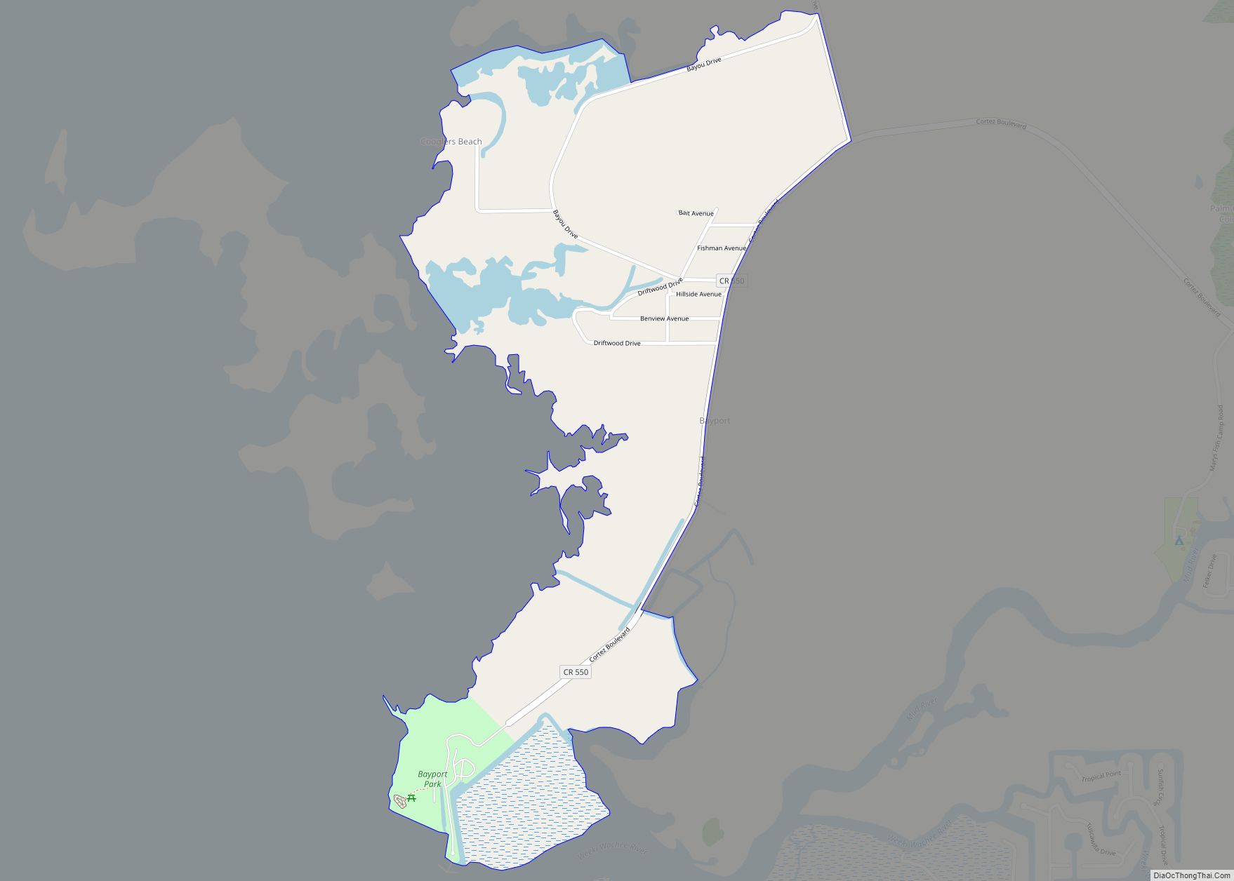
In December 1854, the legislature designated the small port town of Bayport the county seat. Residents living in the eastern section of the county instead desired a more central place for the county government, and by 1855, voters had selected an inland site within five miles (8 km) of the center of the county at the town of Melendez. In 1856, the citizens of Hernando County chose to rename the town, their new County Seat, Brooksville in honor of South Carolina Representative Preston Brooks, who in the same year beat fierce abolitionist Massachusetts Senator Charles Sumner with a cane in the Senate chambers, winning the Congressman great renown in the South.
In 1855, town founder Joseph Hale donated land for a county courthouse in the center of present-day Brooksville. Soon thereafter, the structure was completed.
During the Civil War, Hernando County primarily contributed foodstuffs, cotton, and lumber to the Confederacy. Although Union ships imposed a blockade on the port of Bayport, runners enjoyed a great deal of success—enough to lead the Union in June 1864 to order some 150–250 troops to destroy Confederate stockpiles in the county. In early July, the expedition marched northward from Anclote River to Brooksville, meeting some resistance from assembled Confederate troops hastily organized to protect the city. The Federal troops won this engagement (known locally as the Brooksville Raid and marched to Bayport, where they and an auxiliary force landing from gunboats sacked Rebel operations. The skirmish between Union raiders and local Confederates is reenacted annually in the county.
At least one unit that fought in the Civil War was mustered in Hernando County. The Hernando County “Wildcats,” formed Company C of 3rd Florida Infantry Regiment. The unit was captained by Walter Terry Saxon who was reportedly well liked by his men. He was paid roughly $20,000 for work surveying the Everglades. He used most of this money to arm and equip the Wildcats.
Arthur St. Clair, a minister, was lynched in Hernando County, Florida, in 1877 for performing the wedding of a black man and white woman.
The county courthouse was destroyed by a fire on September 29, 1877. On June 2, 1887, the Florida State Legislature divided Hernando County into three independent counties: Pasco County to the south, Citrus County to the north, and Hernando County in the middle. Since then, Hernando County’s borders have remained unchanged.
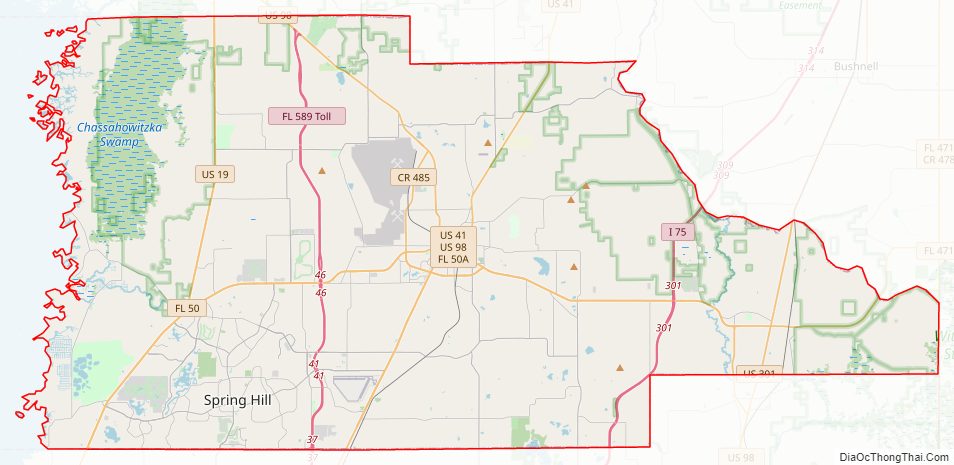
Hernando County Road Map
Geography
According to the U.S. Census Bureau, the county has a total area of 589 square miles (1,530 km), of which 473 square miles (1,230 km) is land and 116 square miles (300 km) (19.8%) is water. According to the World Atlas USA, Hernando County is the geographic center of Florida. Elevation in the county ranges from mean sea level along the Gulf coast to its highest natural point of 269 feet at Chinsegut Hill.
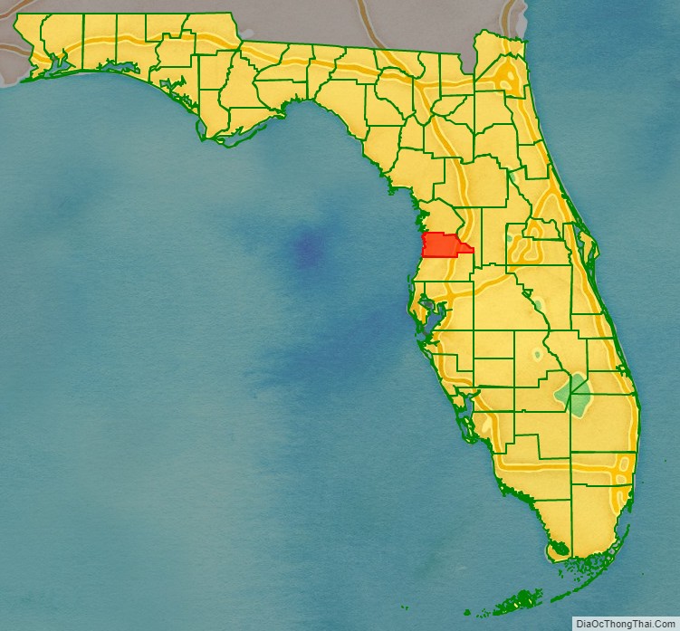
Adjacent counties
- Citrus County, Florida – north
- Sumter County, Florida – east
- Pasco County, Florida – south
National protected area
- Chassahowitzka National Wildlife Refuge
State protected areas
Weeki Wachee Springs
Withlacoochee State Forest
Other points of interest
- Croom Motorcycle Park
- Bayport Park
- Brooksville Railroad Depot Museum
- Delta Woods Park
- Weeki Wachee Preserve
- Veterans Memorial Park
- Tom Varn Park
- Annutteliga Hammock
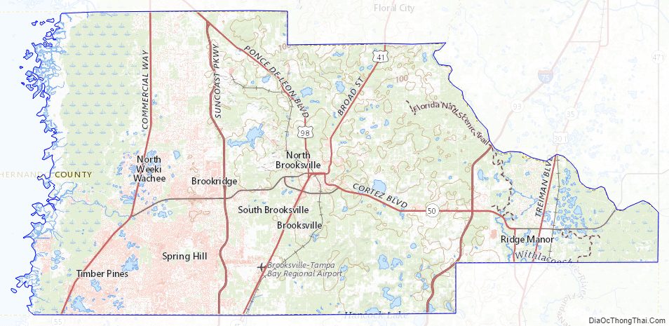
Hernando County Topographic Map
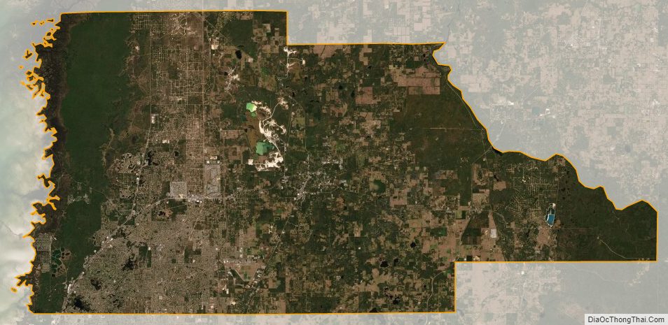
Hernando County Satellite Map
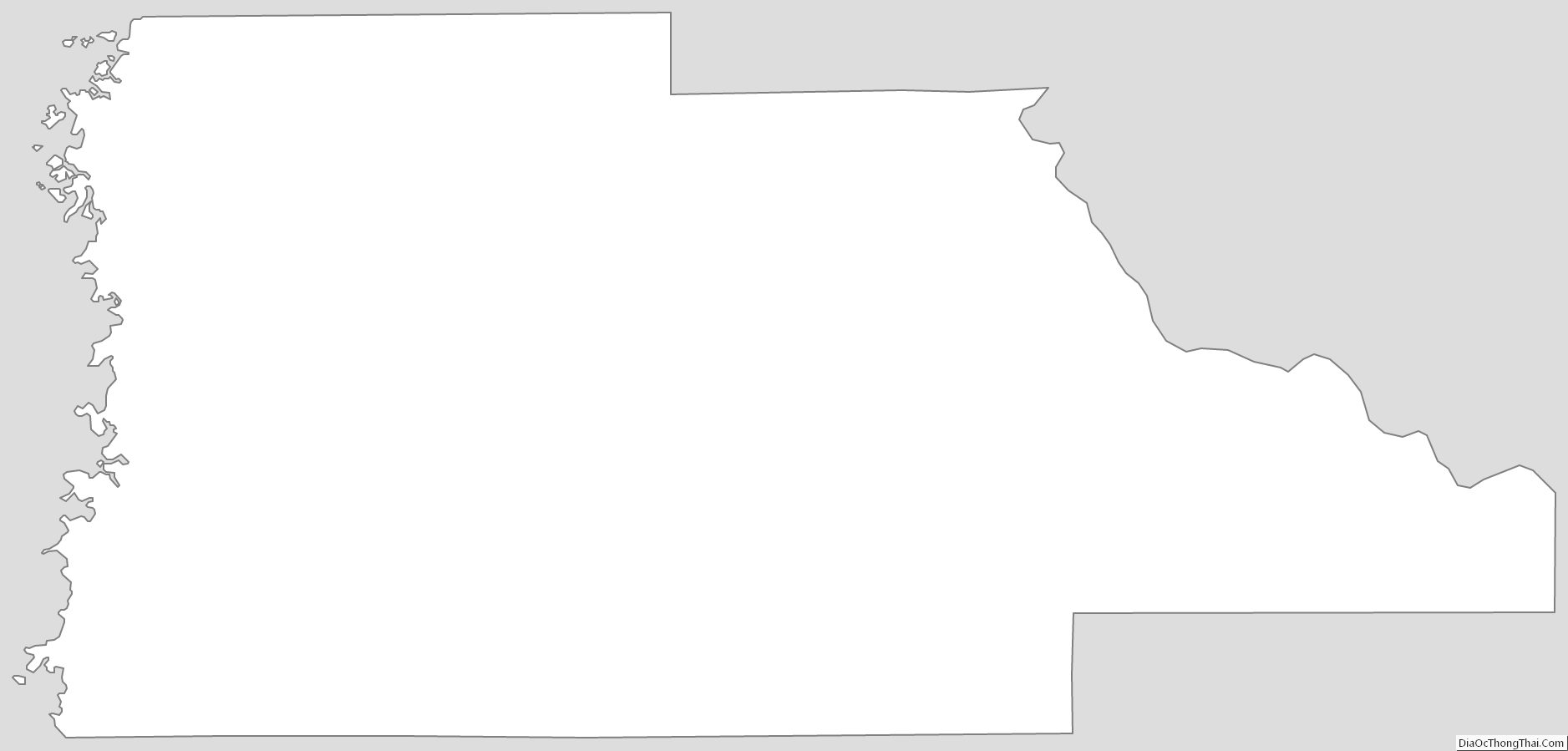
Hernando County Outline Map