Floral City is a census-designated place (CDP) in Citrus County, Florida, United States. The population was 5,216 at the 2010 census. The community is home to the Floral City Heritage Hall Museum and hosts the Floral City Heritage Days the first weekend in December. The area has a history of phosphate mining and includes historic homes.
| Name: | Floral City CDP |
|---|---|
| LSAD Code: | 57 |
| LSAD Description: | CDP (suffix) |
| State: | Florida |
| County: | Citrus County |
| Elevation: | 62 ft (19 m) |
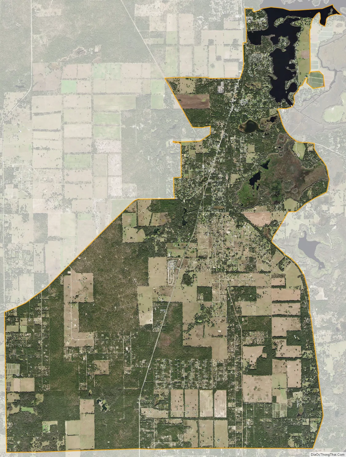
| Total Area: | 25.01 sq mi (64.77 km²) |
| Land Area: | 23.31 sq mi (60.38 km²) |
| Water Area: | 1.69 sq mi (4.39 km²) |
| Total Population: | 5,261 |
| Population Density: | 225.68/sq mi (87.13/km²) |
| ZIP code: | 34436 |
| Area code: | 352 |
| FIPS code: | 1222775 |
| GNISfeature ID: | 0282585 |
| Website: | www.city-data.com/picfilesv/picv13773.php |
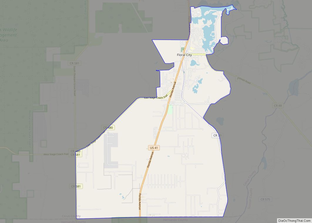
Online Interactive Map
Click on ![]() to view map in "full screen" mode.
to view map in "full screen" mode.
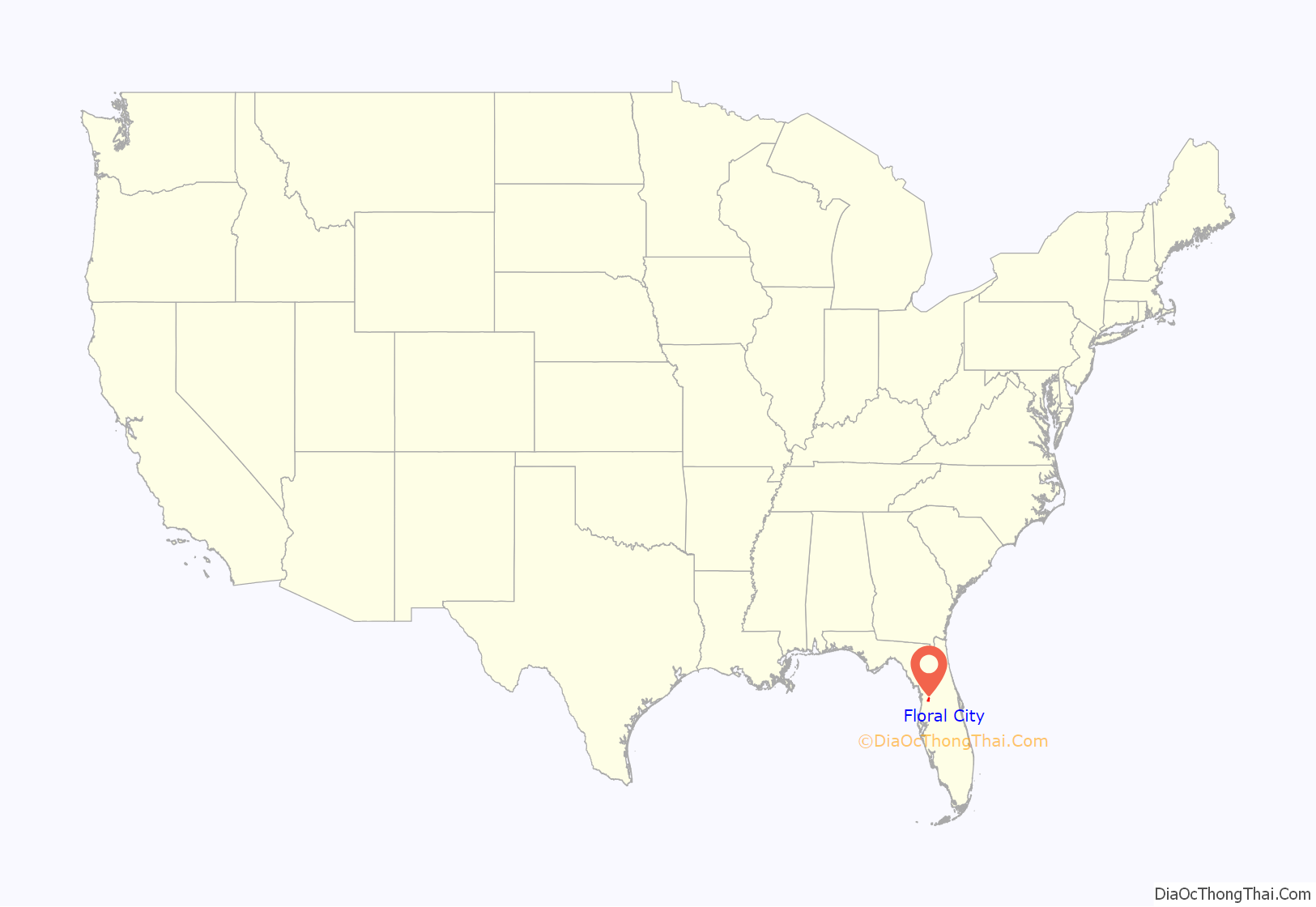
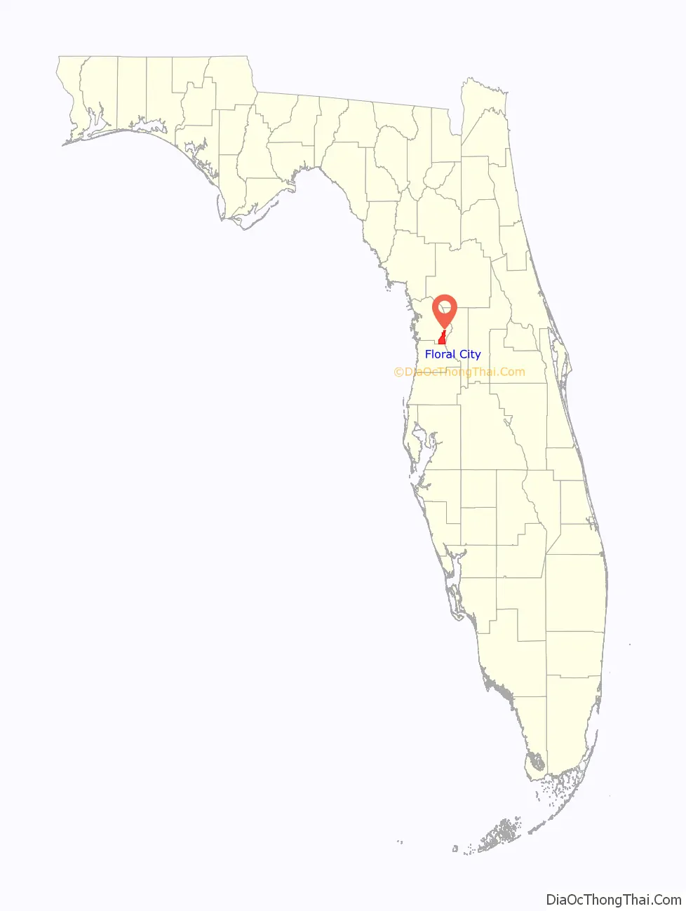
Floral City location map. Where is Floral City CDP?
History
Floral City was laid out and surveyed in 1883 by the surveyor W.H. Havron and then-Senator Austin S. Mann. The land was owned by James Baker, son-in-law of ex-Confederate soldier John Paul Formy-Duval, an early area settler and landowner. The village was at one time larger than Miami, due to the phosphate mining industry located in Citrus County. Around the time of World War I, the mining industry shut down in Floral City. After the war, mining was moved south to the Bartow area east of Tampa.
The community is said to be a slice of “Old Florida” that remains relatively intact. The town was named Floral City for its abundance of wild flowers, which are still plentiful today.
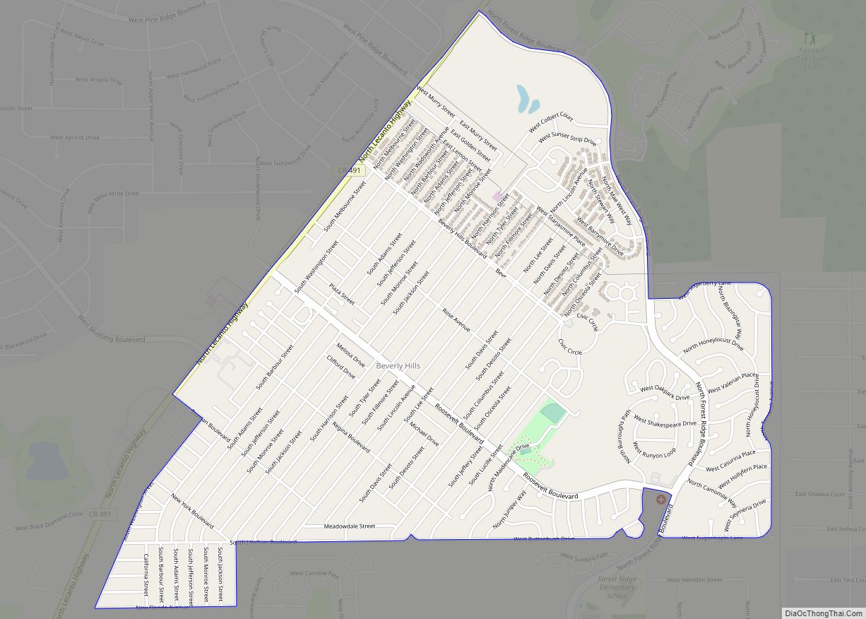
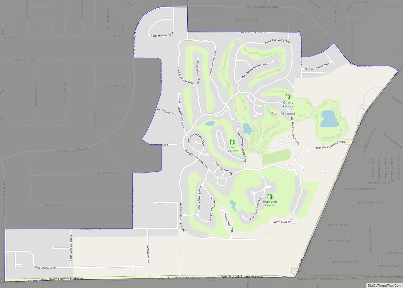
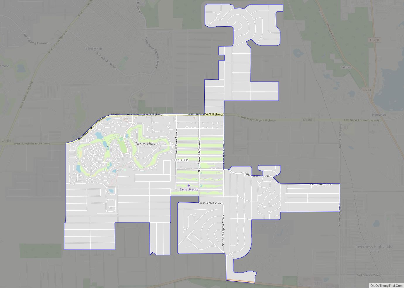
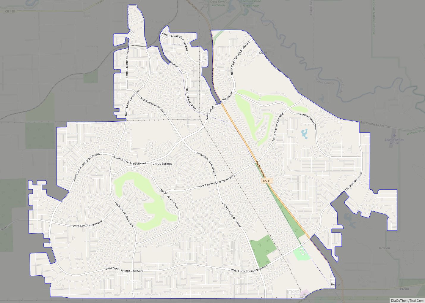
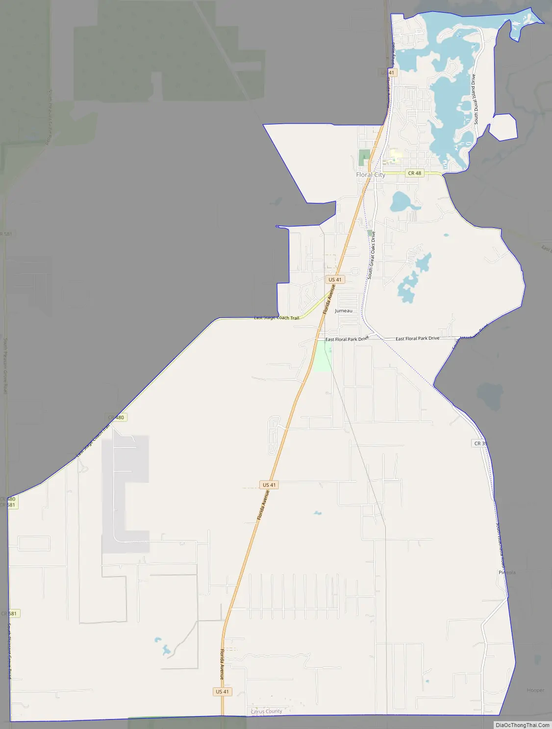
Floral City Road Map
Floral City city Satellite Map
Geography
Floral City is located in southeastern Citrus County at 28°44′N 82°18′W (28.7407,-82.2954). It is bordered to the south by Hernando County. U.S. Route 41 runs through the community, leading north 6 miles (10 km) to Inverness, the Citrus County seat, and south 15 miles (24 km) to Brooksville.
According to the United States Census Bureau, the CDP has a total area of 24.9 square miles (64.5 km), of which 23.3 square miles (60.4 km) is land and 1.6 square miles (4.1 km), or 6.37%, is water. Floral City is located at the south end of Tsala Apopka Lake, a chain of lakes and wetlands that are part of the Withlacoochee River basin. The town is located at the 23 mile marker (middle) of the Withlacoochee State Trail, a linear state park that follows an old railroad line. It is currently the longest paved trail in Florida at 46 miles (74 km).
See also
Map of Florida State and its subdivision:- Alachua
- Baker
- Bay
- Bradford
- Brevard
- Broward
- Calhoun
- Charlotte
- Citrus
- Clay
- Collier
- Columbia
- Desoto
- Dixie
- Duval
- Escambia
- Flagler
- Franklin
- Gadsden
- Gilchrist
- Glades
- Gulf
- Hamilton
- Hardee
- Hendry
- Hernando
- Highlands
- Hillsborough
- Holmes
- Indian River
- Jackson
- Jefferson
- Lafayette
- Lake
- Lee
- Leon
- Levy
- Liberty
- Madison
- Manatee
- Marion
- Martin
- Miami-Dade
- Monroe
- Nassau
- Okaloosa
- Okeechobee
- Orange
- Osceola
- Palm Beach
- Pasco
- Pinellas
- Polk
- Putnam
- Saint Johns
- Saint Lucie
- Santa Rosa
- Sarasota
- Seminole
- Sumter
- Suwannee
- Taylor
- Union
- Volusia
- Wakulla
- Walton
- Washington
- Alabama
- Alaska
- Arizona
- Arkansas
- California
- Colorado
- Connecticut
- Delaware
- District of Columbia
- Florida
- Georgia
- Hawaii
- Idaho
- Illinois
- Indiana
- Iowa
- Kansas
- Kentucky
- Louisiana
- Maine
- Maryland
- Massachusetts
- Michigan
- Minnesota
- Mississippi
- Missouri
- Montana
- Nebraska
- Nevada
- New Hampshire
- New Jersey
- New Mexico
- New York
- North Carolina
- North Dakota
- Ohio
- Oklahoma
- Oregon
- Pennsylvania
- Rhode Island
- South Carolina
- South Dakota
- Tennessee
- Texas
- Utah
- Vermont
- Virginia
- Washington
- West Virginia
- Wisconsin
- Wyoming