Homosassa Springs is an unincorporated community and census-designated place (CDP) in Citrus County, Florida, United States. The population was 14,283 as of 2020. Homosassa Springs is the principal city of the Homosassa Springs, Florida, Metropolitan Statistical Area.
The name derives from the warm spring located in Homosassa Springs Wildlife State Park that attracts manatees to the area.
| Name: | Homosassa Springs CDP |
|---|---|
| LSAD Code: | 57 |
| LSAD Description: | CDP (suffix) |
| State: | Florida |
| County: | Citrus County |
| Elevation: | 7 ft (2 m) |
| Total Area: | 25.18 sq mi (65.21 km²) |
| Land Area: | 25.17 sq mi (65.18 km²) |
| Water Area: | 0.01 sq mi (0.03 km²) |
| Total Population: | 14,283 |
| Population Density: | 567.51/sq mi (219.12/km²) |
| ZIP code: | 34447 |
| Area code: | 352 |
| FIPS code: | 1232400 |
| GNISfeature ID: | 0284223 |
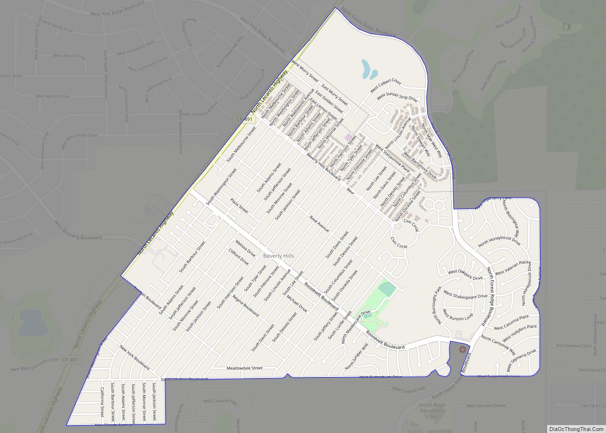
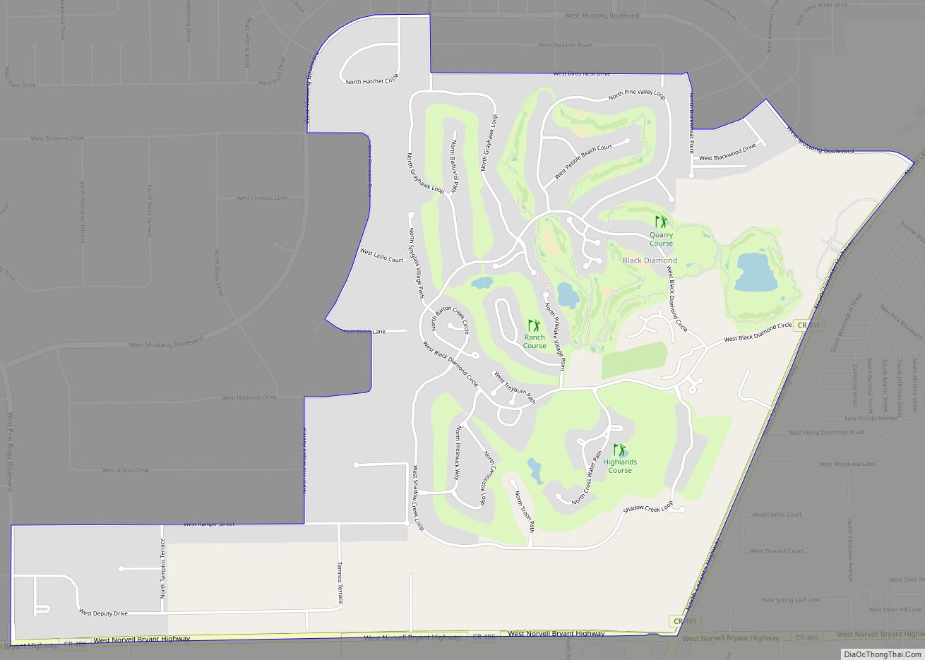
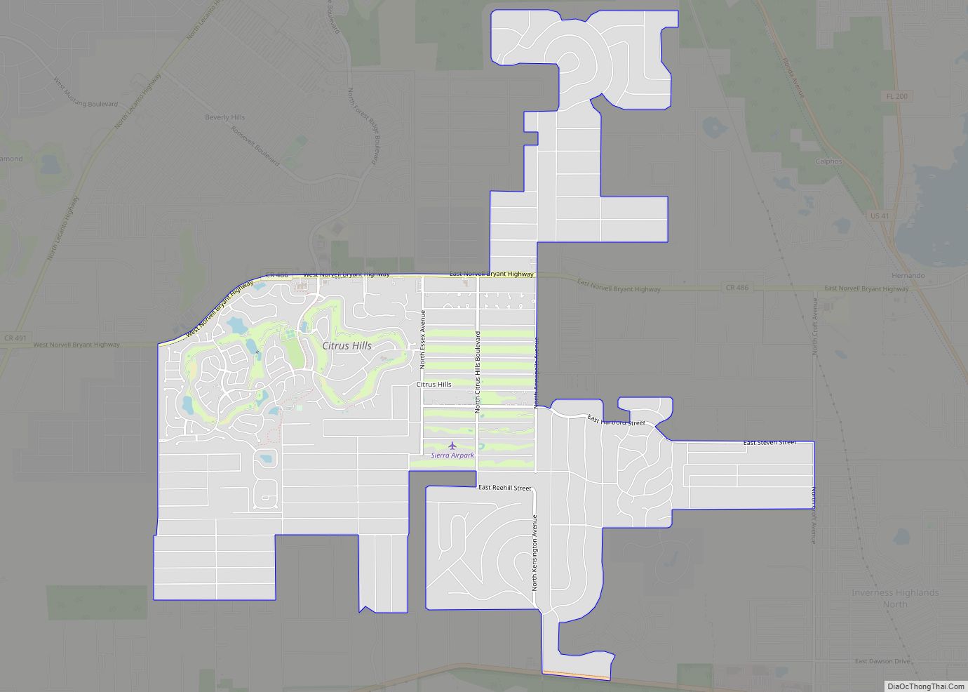
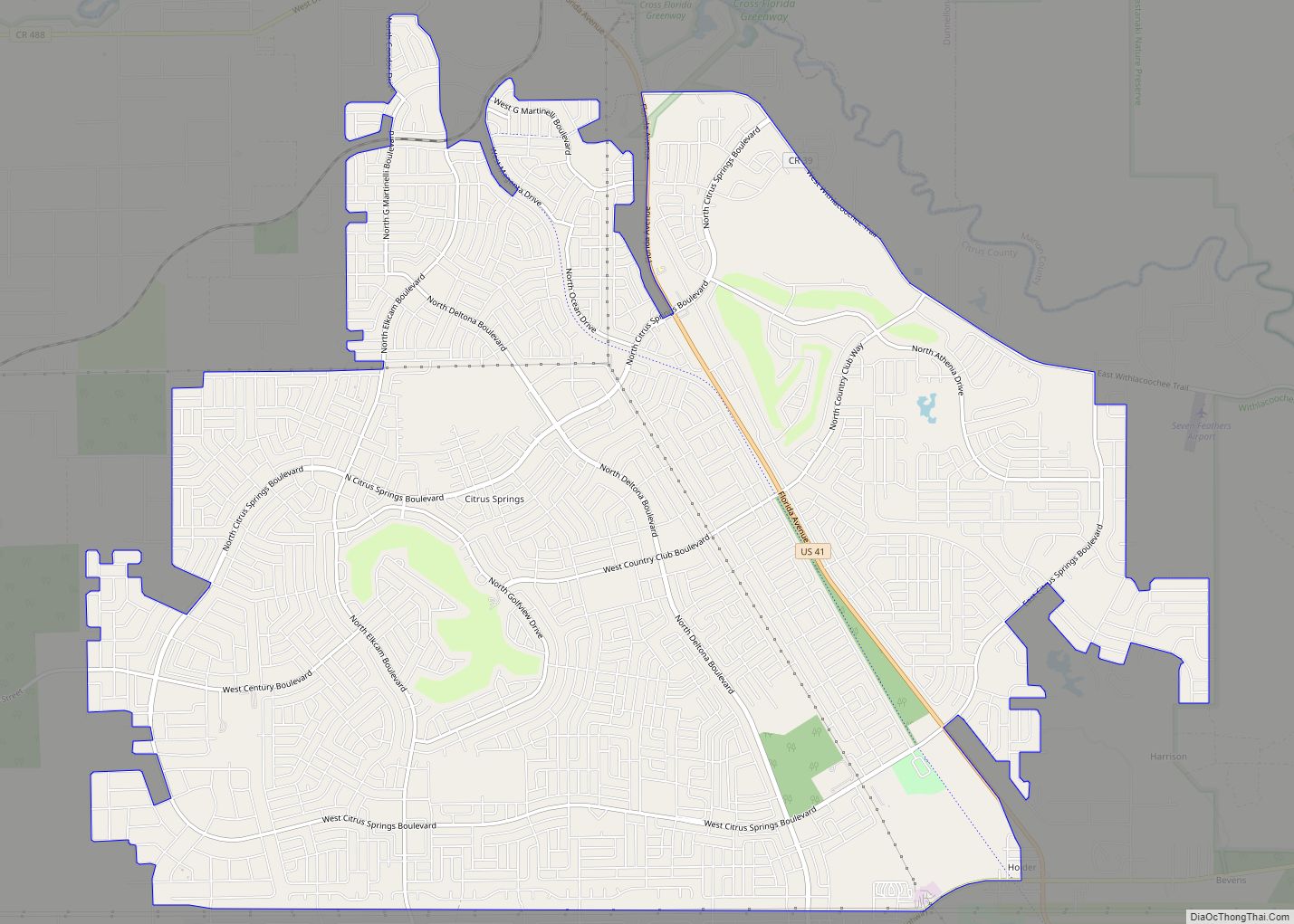
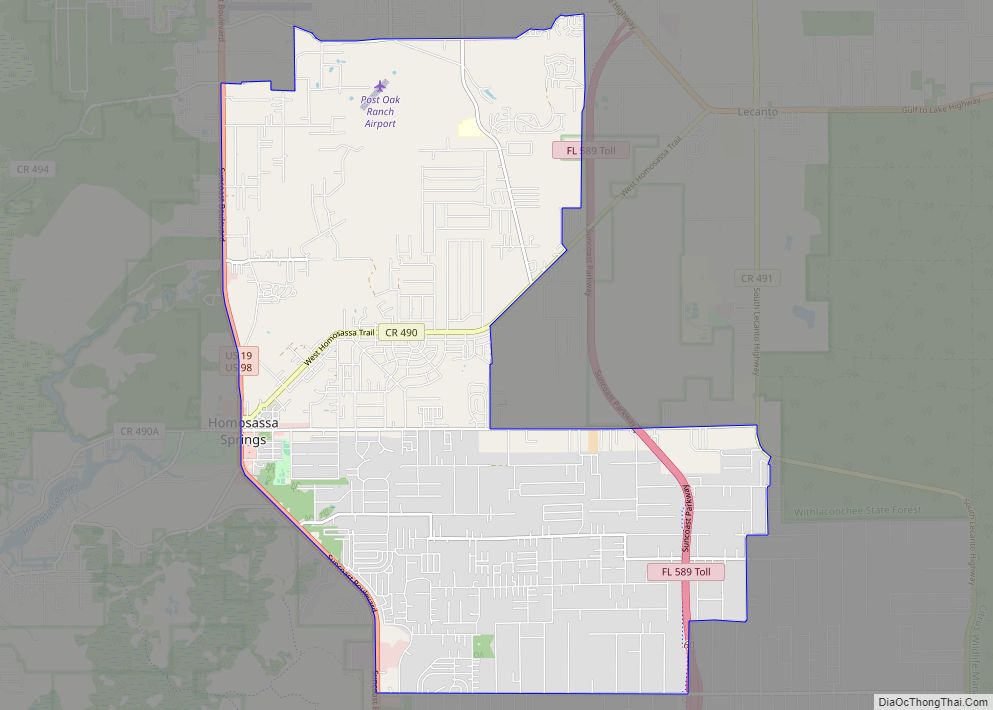
Online Interactive Map
Click on ![]() to view map in "full screen" mode.
to view map in "full screen" mode.
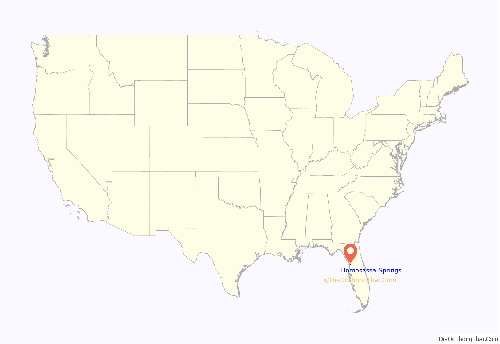
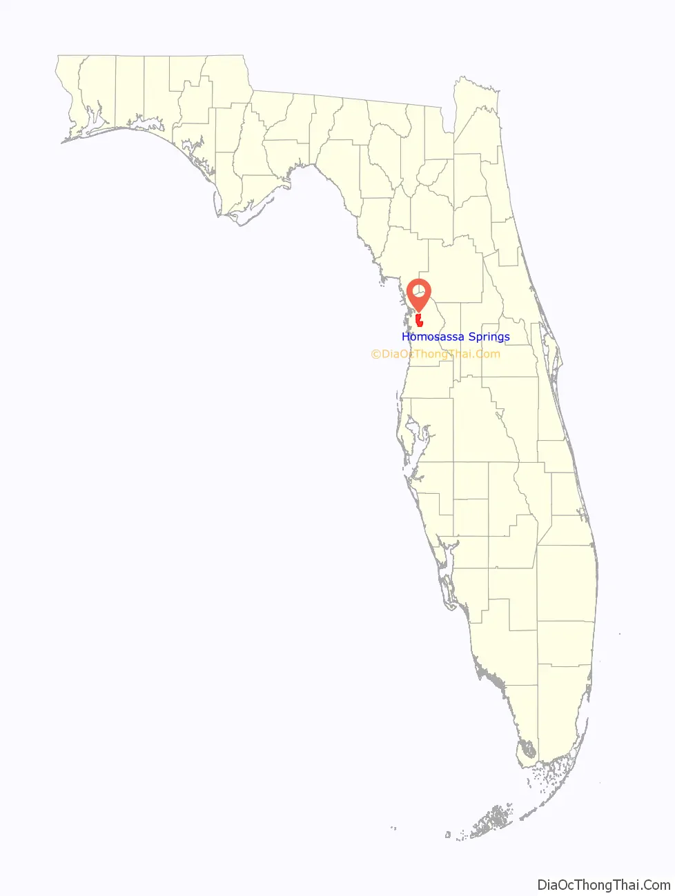
Homosassa Springs location map. Where is Homosassa Springs CDP?
Homosassa Springs Road Map
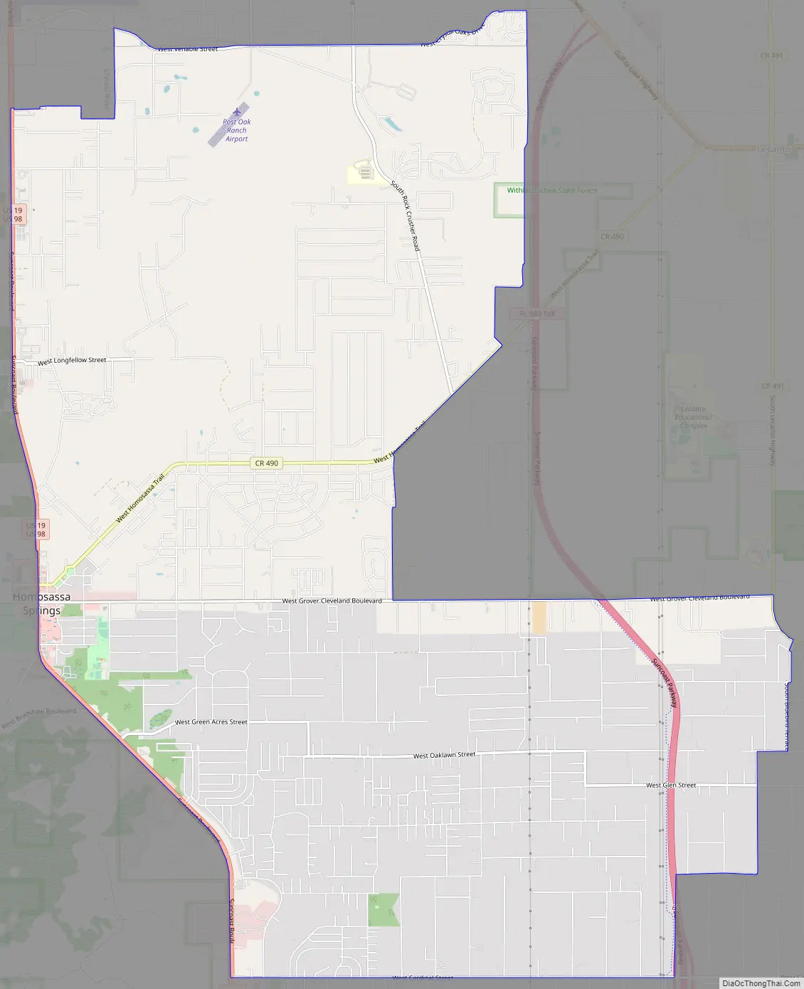
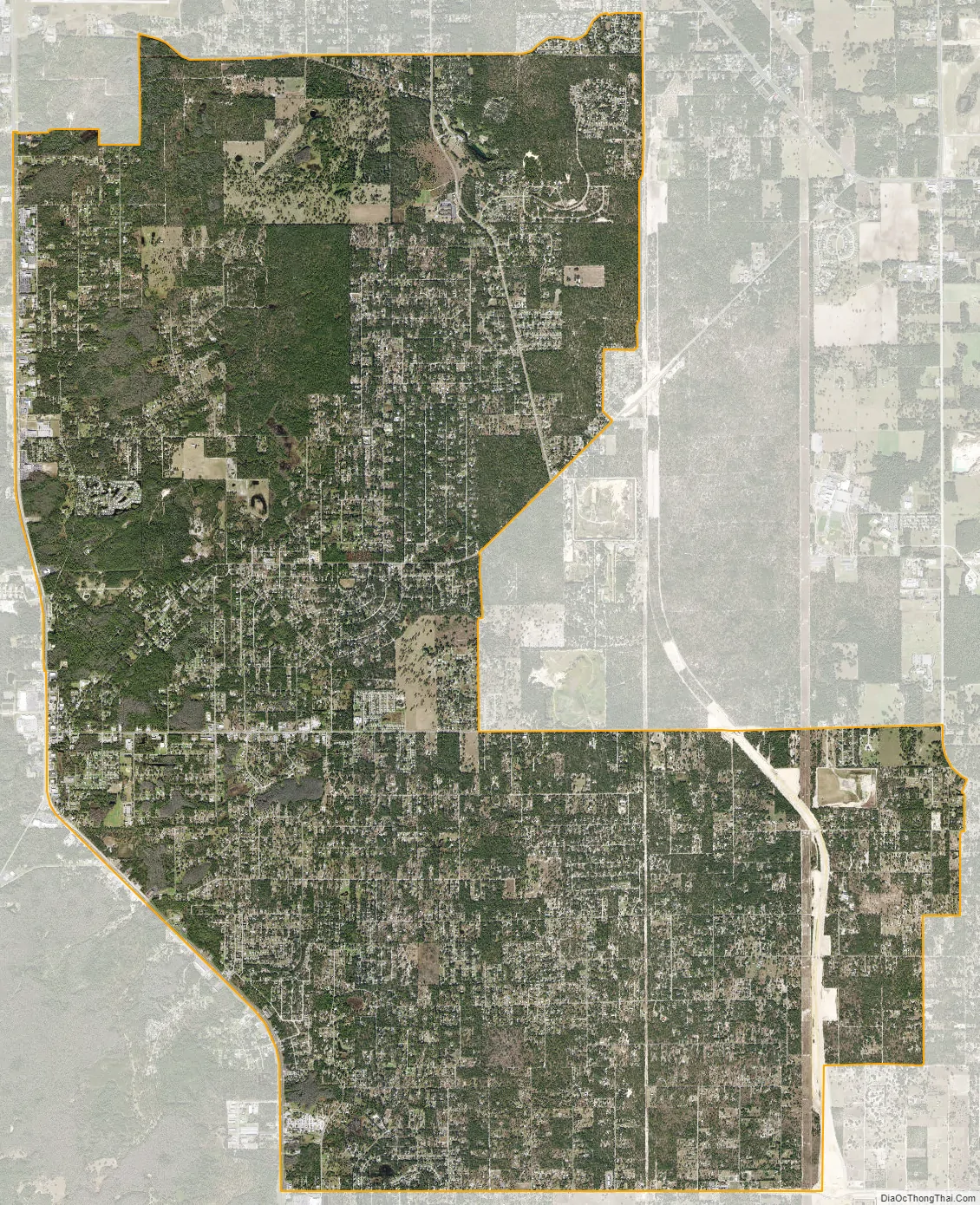
Homosassa Springs city Satellite Map
Geography
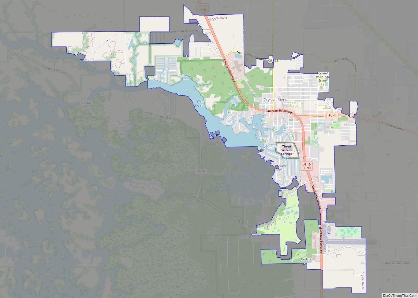
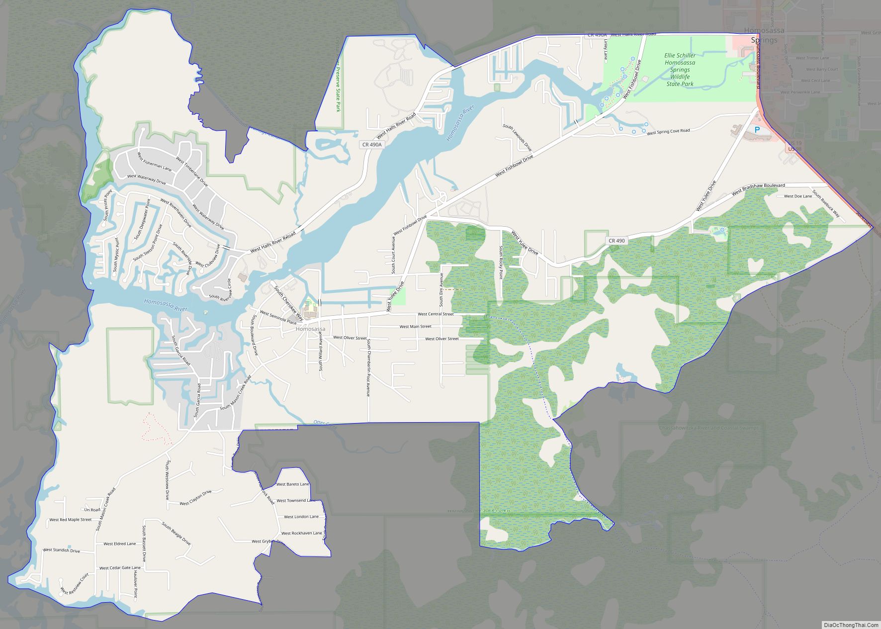
Homosassa Springs is located in southern Citrus County at 28°48′26″N 82°33′0″W / 28.80722°N 82.55000°W / 28.80722; -82.55000 (28.807216, -82.550012). The CDP is to the east of U.S. Routes 19 and 98 (Suncoast Boulevard); the CDP of Homosassa is located to the west of the highway, as is Homosassa Springs Wildlife State Park. Homosassa Springs is bordered to the northwest by the city of Crystal River, to the east by Lecanto, and to the south by Sugarmill Woods.
According to the United States Census Bureau, the CDP has a total area of 25.1 square miles (65.1 km), of which 0.02 square mile (0.04 km), or 0.06%, is covered by water.
See also
Map of Florida State and its subdivision:- Alachua
- Baker
- Bay
- Bradford
- Brevard
- Broward
- Calhoun
- Charlotte
- Citrus
- Clay
- Collier
- Columbia
- Desoto
- Dixie
- Duval
- Escambia
- Flagler
- Franklin
- Gadsden
- Gilchrist
- Glades
- Gulf
- Hamilton
- Hardee
- Hendry
- Hernando
- Highlands
- Hillsborough
- Holmes
- Indian River
- Jackson
- Jefferson
- Lafayette
- Lake
- Lee
- Leon
- Levy
- Liberty
- Madison
- Manatee
- Marion
- Martin
- Miami-Dade
- Monroe
- Nassau
- Okaloosa
- Okeechobee
- Orange
- Osceola
- Palm Beach
- Pasco
- Pinellas
- Polk
- Putnam
- Saint Johns
- Saint Lucie
- Santa Rosa
- Sarasota
- Seminole
- Sumter
- Suwannee
- Taylor
- Union
- Volusia
- Wakulla
- Walton
- Washington
- Alabama
- Alaska
- Arizona
- Arkansas
- California
- Colorado
- Connecticut
- Delaware
- District of Columbia
- Florida
- Georgia
- Hawaii
- Idaho
- Illinois
- Indiana
- Iowa
- Kansas
- Kentucky
- Louisiana
- Maine
- Maryland
- Massachusetts
- Michigan
- Minnesota
- Mississippi
- Missouri
- Montana
- Nebraska
- Nevada
- New Hampshire
- New Jersey
- New Mexico
- New York
- North Carolina
- North Dakota
- Ohio
- Oklahoma
- Oregon
- Pennsylvania
- Rhode Island
- South Carolina
- South Dakota
- Tennessee
- Texas
- Utah
- Vermont
- Virginia
- Washington
- West Virginia
- Wisconsin
- Wyoming