Inverness is a city and the county seat of Citrus County, Florida, United States. As of the 2020 census, the population was 7,543. 10,950-acre (4,430 ha) It is near the Flying Eagle Preserve.
| Name: | Inverness city |
|---|---|
| LSAD Code: | 25 |
| LSAD Description: | city (suffix) |
| State: | Florida |
| County: | Citrus County |
| Elevation: | 49 ft (15 m) |
| Total Area: | 8.69 sq mi (22.51 km²) |
| Land Area: | 8.33 sq mi (21.58 km²) |
| Water Area: | 0.36 sq mi (0.94 km²) |
| Total Population: | 7,543 |
| Population Density: | 905.41/sq mi (349.59/km²) |
| ZIP code: | 34450, 34451, 34452, 34453 |
| Area code: | 352 |
| FIPS code: | 1233950 |
| GNISfeature ID: | 0284579 |
| Website: | inverness-fl.gov |
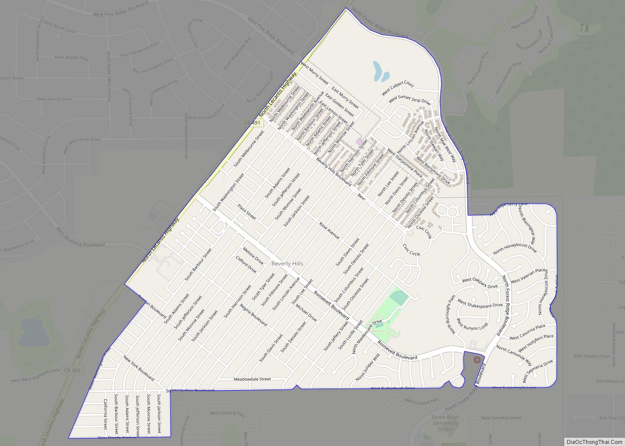
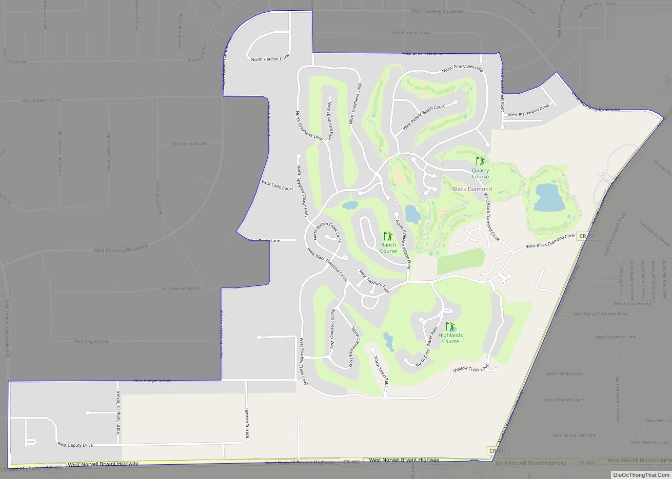
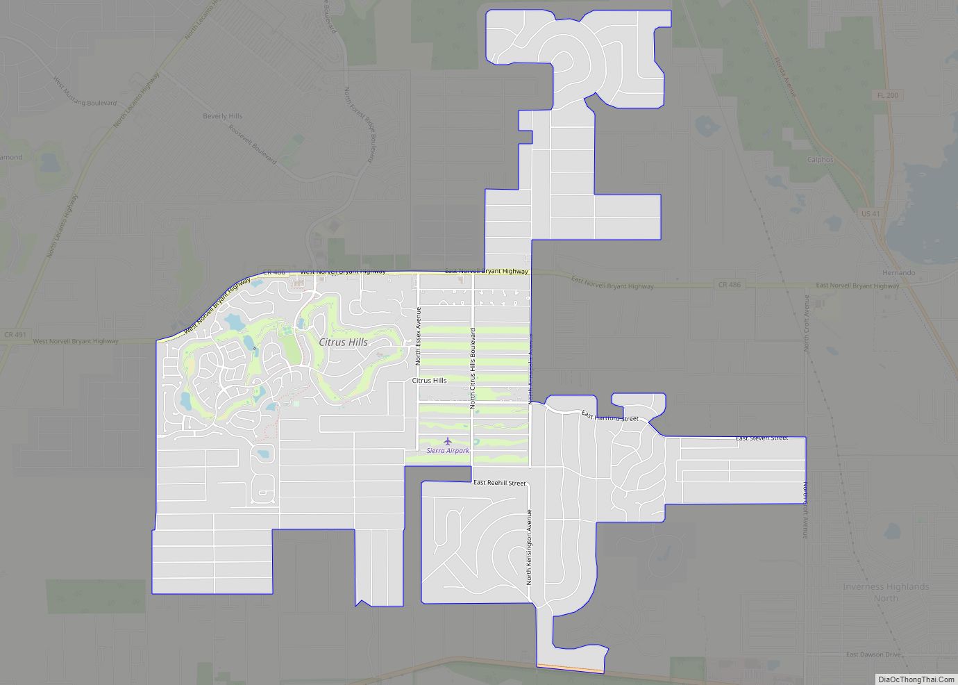
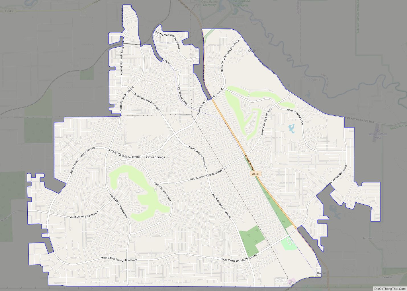
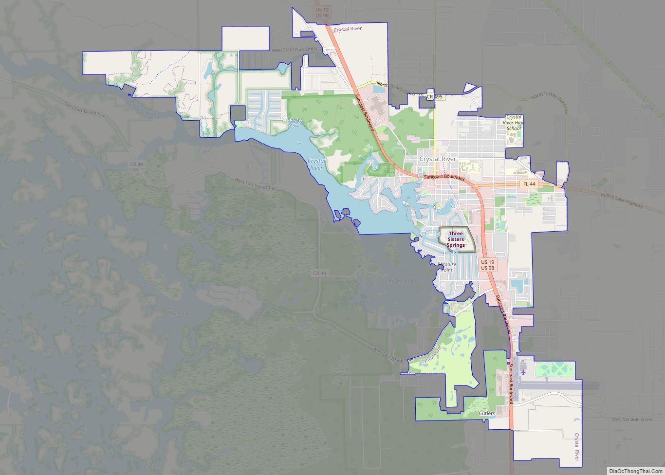
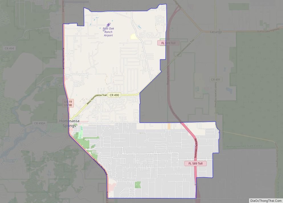
Online Interactive Map
Click on ![]() to view map in "full screen" mode.
to view map in "full screen" mode.
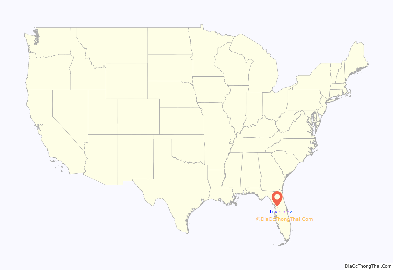
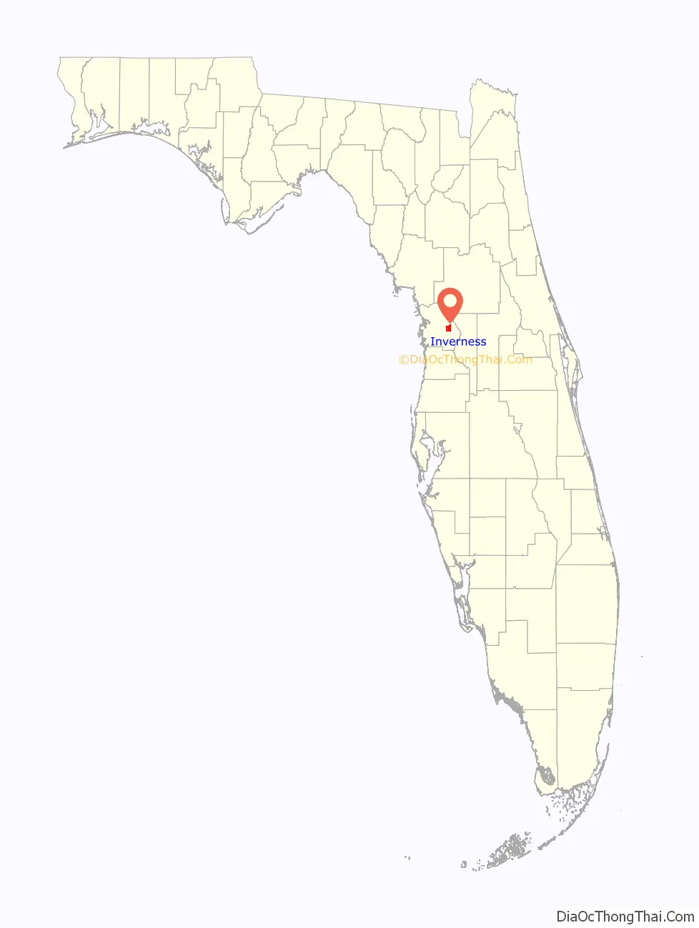
Inverness location map. Where is Inverness city?
History
Archaeological digs showed that the Seminole resided in the area that is now Inverness. The Seminole leader Osceola made his wartime camp, known as Powell’s Town, in the area during the Second Seminole War. During the Second Seminole War, the nearby Fort Cooper was besieged by Osceola and his band of warriors. The garrison was just about out of food when it was relieved by a column of troops under Gen. Duncan L. Clinch.
The city of Inverness was originally named “Tompkinsville.” White settlement of the area dates back to 1868. Tompkins, later known as “Uncle Alf”, started the community. To attract newcomers to the town, he established a mail service and helped erect the first sawmill in the county. He gave his brother-in-law, Frank M. Dampier Sr., a lot to build a store, with Dampier becoming the first merchant in town. Dampier is credited with laying out the town and naming it Tompkinsville.
Not many years later, the town of Tompkinsville was sold to a firm in Jacksonville, and the name was changed to “Inverness”. According to the late historian Mary McRae of Homosassa, Inverness is named directly after a Scottish city of the same name. Inverness is Great Britain’s most northerly city, and “the capital of the Highlands”, with a population of 46,870. The story goes that Inverness, Florida got its name from a lonely Scotsman, far away from his home, who gazed upon the blue waters of the Native American-named Tsala Apopka Lake and thought the area looked like the headlands and lochs of the area surrounding Inverness in Scotland. Inver is a Gaelic word meaning “mouth of the river”, the River Ness flows through the Scottish city Inverness, so Inverness literally means the mouth of the River Ness, which flows from Loch Ness, which is one of Scotland’s most visited areas. Since the Florida city lies at the foot of one of the chain of lakes in Citrus County, Inverness seemed an appropriate name.
According to official city documentation, Inverness was incorporated on March 6, 1919.
Over twelve downtown buildings have been recognized by the historic plaque program and are presently active places for business. Central Business Development grants have helped to retain the historic character of the city. In 1961 the historic courthouse downtown was used to film the courtroom scene of “Follow That Dream”, featuring Elvis Presley.
The city has been designated a “Gateway Community” by the Florida Trail Association. Since 1995, Inverness has been recognized as a Tree City USA by the National Arbor Day Foundation and the US Forest Service. In 2009, Inverness was named “City of the Year” by the Forty and Eight, a national veterans’ organization.
Inverness Road Map
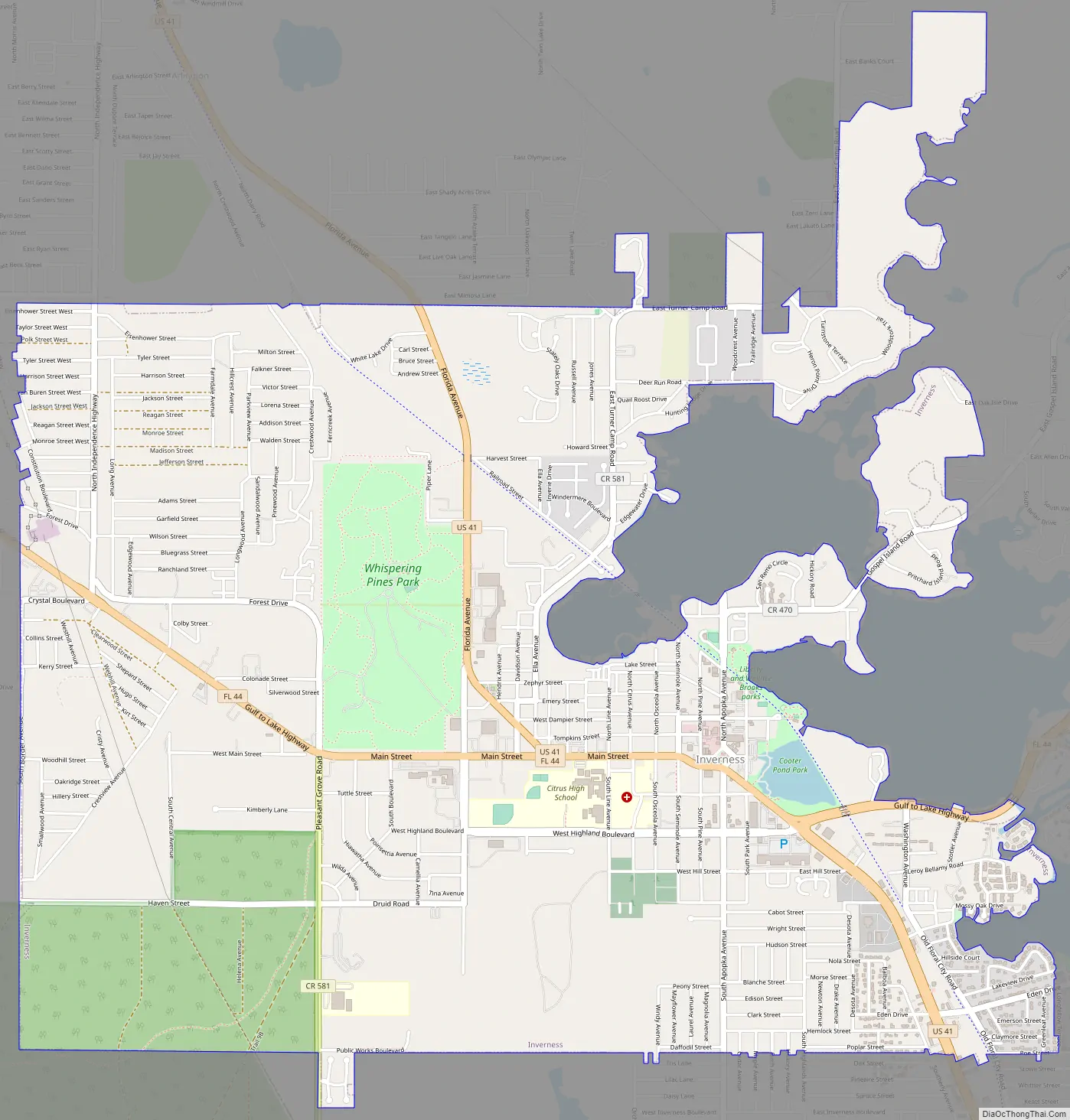
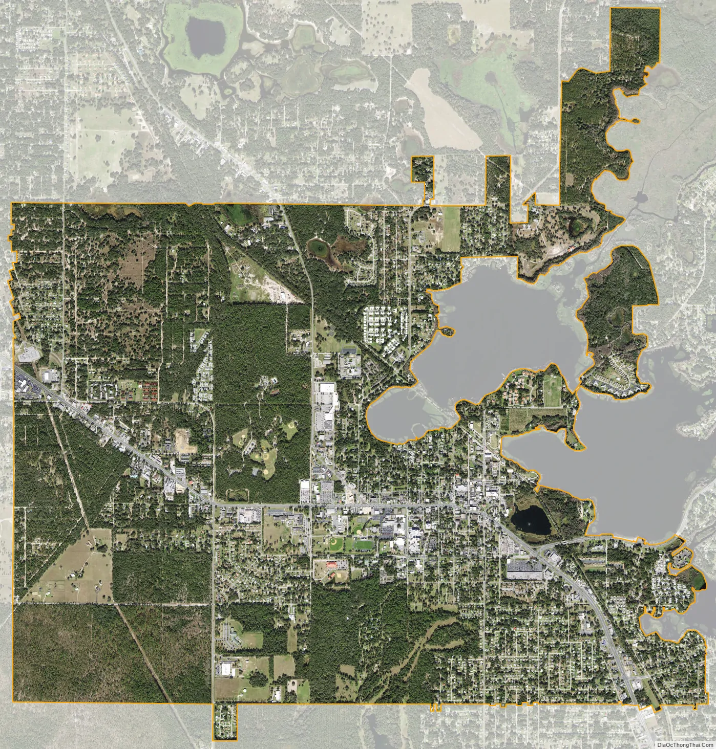
Inverness city Satellite Map
Geography
Inverness is located in eastern Citrus County, on the western shore of the connected Tsala Apopka and Henderson lakes. According to the United States Census Bureau, the city has a total area of 7.7 square miles (19.9 km), of which 7.6 square miles (19.7 km) is land and 0.08 square miles (0.2 km), or 1.01%, is water. Within the city are 330 acres (130 ha) of land reserved for passive and active park usage.
Climate
Inverness has a humid subtropical climate (Cfa), typical of the southeastern United States, with hot, humid, summers and mild, mainly dry winters.
See also
Map of Florida State and its subdivision:- Alachua
- Baker
- Bay
- Bradford
- Brevard
- Broward
- Calhoun
- Charlotte
- Citrus
- Clay
- Collier
- Columbia
- Desoto
- Dixie
- Duval
- Escambia
- Flagler
- Franklin
- Gadsden
- Gilchrist
- Glades
- Gulf
- Hamilton
- Hardee
- Hendry
- Hernando
- Highlands
- Hillsborough
- Holmes
- Indian River
- Jackson
- Jefferson
- Lafayette
- Lake
- Lee
- Leon
- Levy
- Liberty
- Madison
- Manatee
- Marion
- Martin
- Miami-Dade
- Monroe
- Nassau
- Okaloosa
- Okeechobee
- Orange
- Osceola
- Palm Beach
- Pasco
- Pinellas
- Polk
- Putnam
- Saint Johns
- Saint Lucie
- Santa Rosa
- Sarasota
- Seminole
- Sumter
- Suwannee
- Taylor
- Union
- Volusia
- Wakulla
- Walton
- Washington
- Alabama
- Alaska
- Arizona
- Arkansas
- California
- Colorado
- Connecticut
- Delaware
- District of Columbia
- Florida
- Georgia
- Hawaii
- Idaho
- Illinois
- Indiana
- Iowa
- Kansas
- Kentucky
- Louisiana
- Maine
- Maryland
- Massachusetts
- Michigan
- Minnesota
- Mississippi
- Missouri
- Montana
- Nebraska
- Nevada
- New Hampshire
- New Jersey
- New Mexico
- New York
- North Carolina
- North Dakota
- Ohio
- Oklahoma
- Oregon
- Pennsylvania
- Rhode Island
- South Carolina
- South Dakota
- Tennessee
- Texas
- Utah
- Vermont
- Virginia
- Washington
- West Virginia
- Wisconsin
- Wyoming