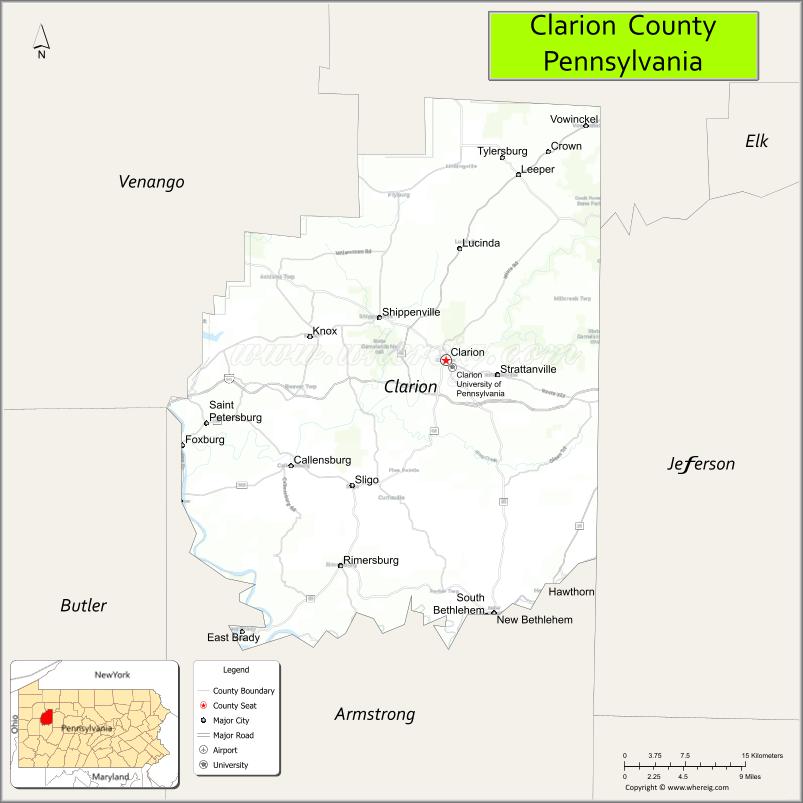
Clarion County is a county in the Commonwealth of Pennsylvania. As of the 2020 census, the population was 37,241. Its county seat is Clarion. The county was formed on March 11, 1839, from parts of Venango and Armstrong counties. Clarion County is entirely defined as part of the Pittsburgh media market.
| Name: | Clarion County |
|---|---|
| FIPS code: | 42-031 |
| State: | Pennsylvania |
| Founded: | March 11, 1839 |
| Named for: | Clarion River |
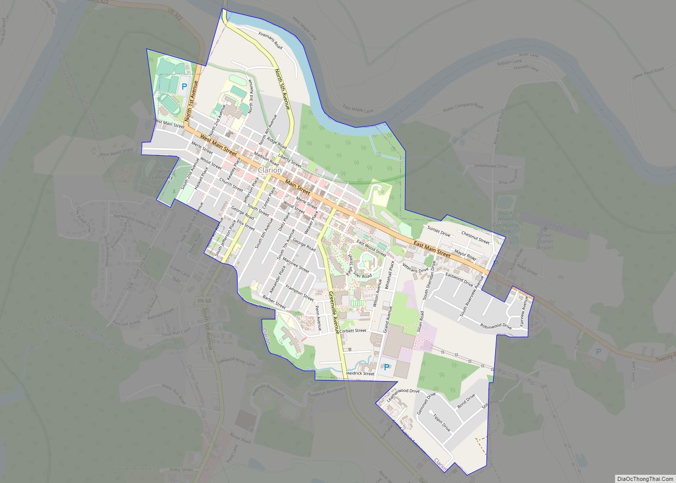
| Seat: | Clarion |
| Total Area: | 610 sq mi (1,600 km²) |
| Land Area: | 601 sq mi (1,560 km²) |
| Total Population: | 37,156 |
| Population Density: | 66/sq mi (25/km²) |
| Time zone: | UTC−5 (Eastern) |
| Summer Time Zone (DST): | UTC−4 (EDT) |
| Website: | www.co.clarion.pa.us |
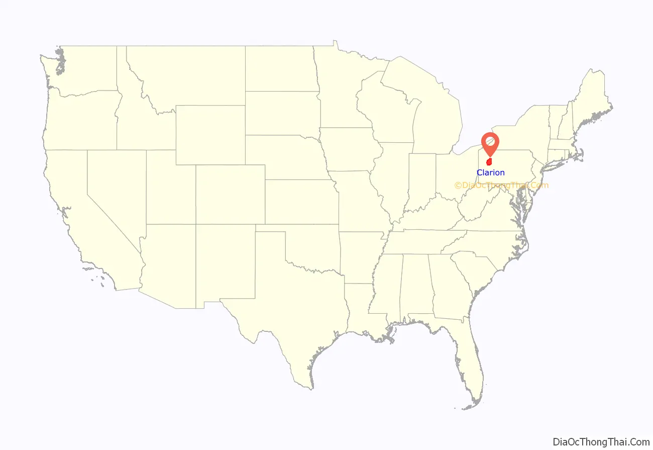
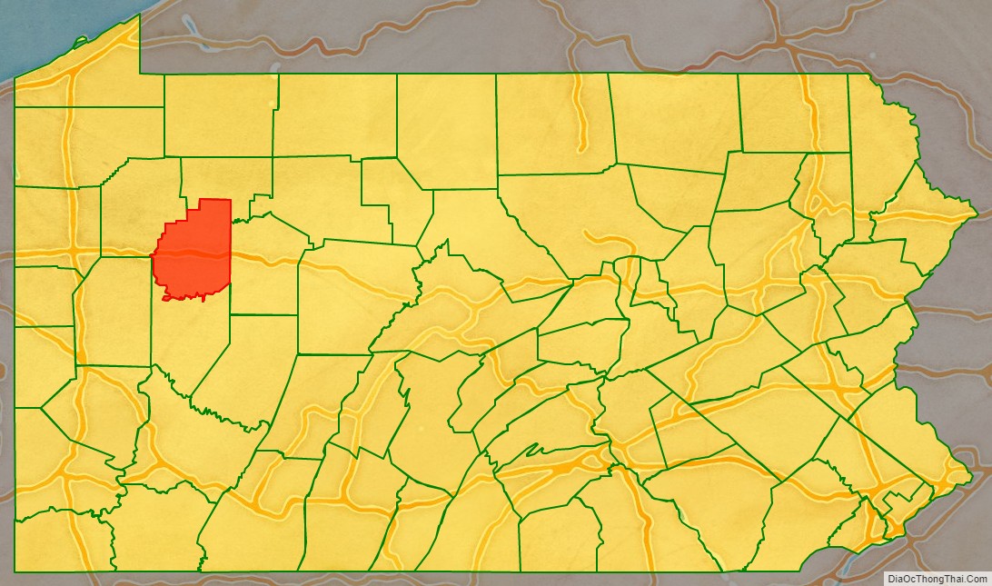
Clarion County location map. Where is Clarion County?
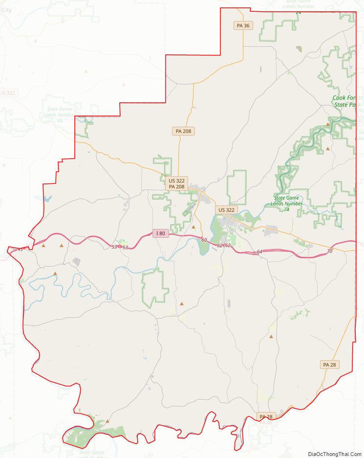
Clarion County Road Map
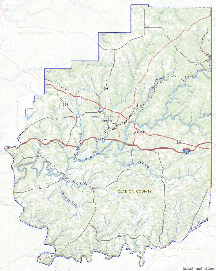
Geography
According to the U.S. Census Bureau, the county has a total area of 610 square miles (1,600 km), of which 601 square miles (1,560 km) is land and 9.0 square miles (23 km) (1.5%) is water. It has a warm-summer humid continental climate (Dfb), and average temperatures in Clarion borough range from 24.5 °F in January to 82 °F in July.
Adjacent counties
- Forest County (north)
- Jefferson County (east)
- Armstrong County (south)
- Butler County (west)
- Venango County (west)
Parks
Part of Cook Forest State Park is in Clarion County.
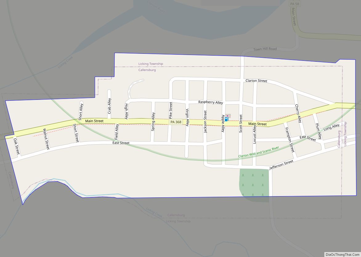
The Clarion County Park is located in Paint Township. Clarion County Veterans Memorial Park is located directly across Main Street (Route 322) from the Clarion County Courthouse in the center of the Borough of Clarion.
Major highways
- I-80
- US 322
- PA 28
- PA 36
- PA 58
- PA 66
- PA 68
- PA 157
- PA 208
- PA 338
- PA 368
- PA 478
- PA 536
- PA 861
Clarion County Topographic Map
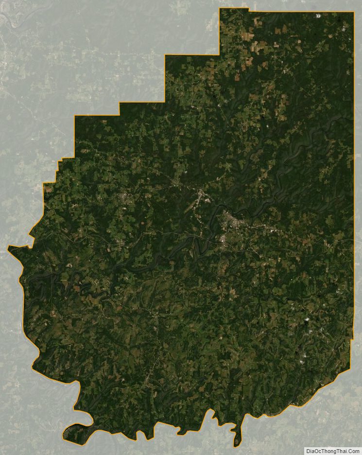
Clarion County Satellite Map
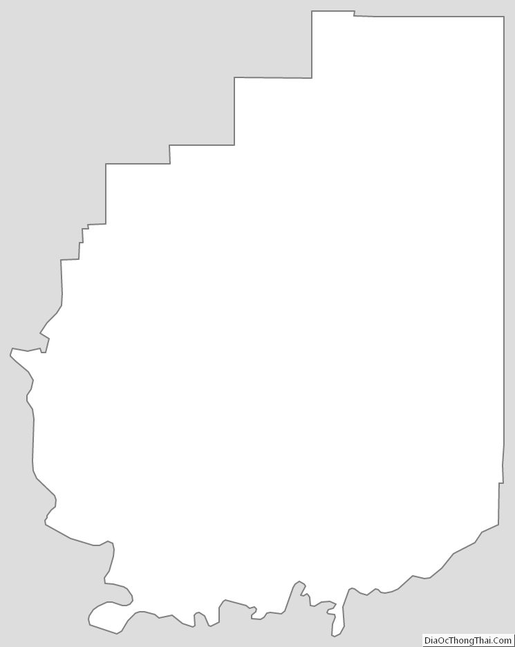
Clarion County Outline Map