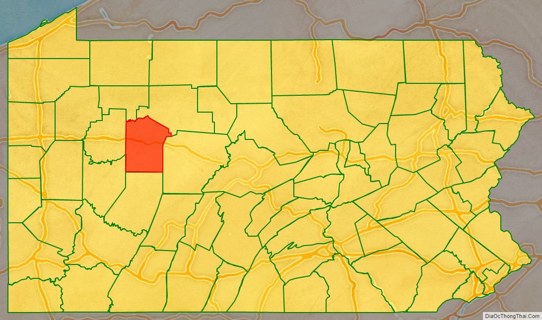
Jefferson County is a county in the Commonwealth of Pennsylvania. As of the 2020 census, the population was 44,492. Its county seat is Brookville. The county was established on March 26, 1804, from part of Lycoming County and later organized in 1830. It is named for President Thomas Jefferson. It is home to Punxsutawney Phil, the most famous groundhog that predicts when spring will come every February 2 on Groundhog Day.
| Name: | Jefferson County |
|---|---|
| FIPS code: | 42-065 |
| State: | Pennsylvania |
| Founded: | October 1, 1830 |
| Named for: | Thomas Jefferson |
| Seat: | Brookville |
| Total Area: | 657 sq mi (1,700 km²) |
| Land Area: | 652 sq mi (1,690 km²) |
| Total Population: | 44,492 |
| Population Density: | 68/sq mi (26/km²) |
| Time zone: | UTC−5 (Eastern) |
| Summer Time Zone (DST): | UTC−4 (EDT) |
| Website: | www.jeffersoncountypa.com |
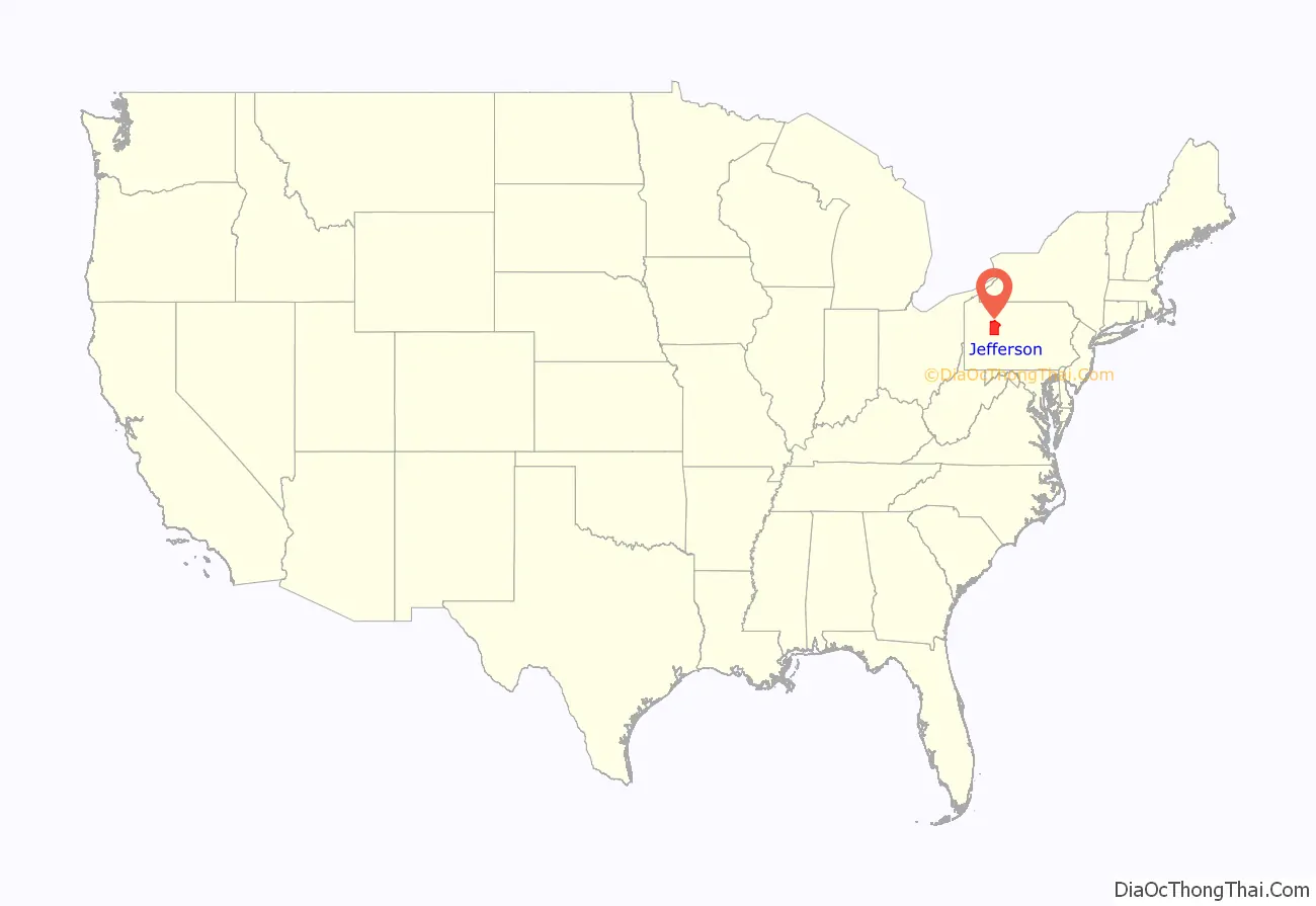
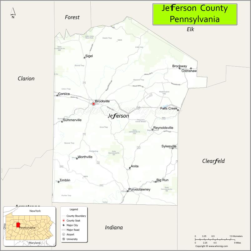
Jefferson County location map. Where is Jefferson County?
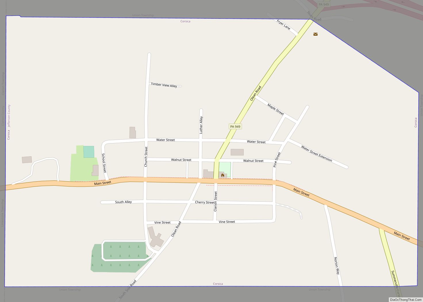
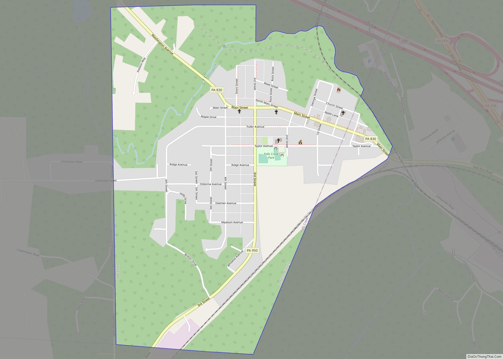
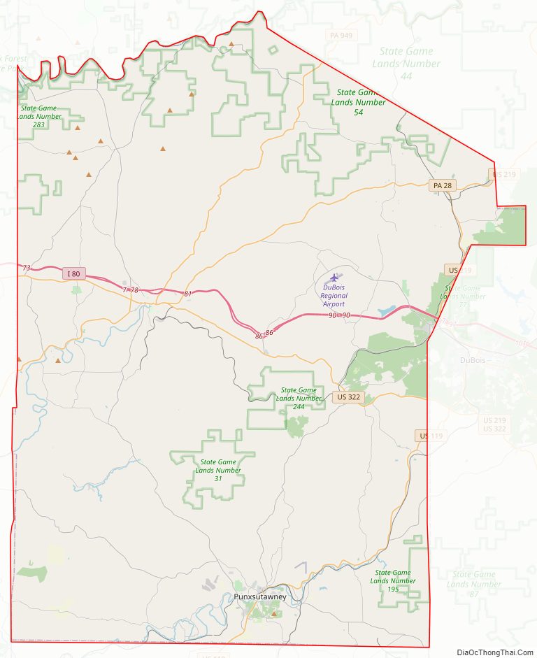
Jefferson County Road Map
Geography
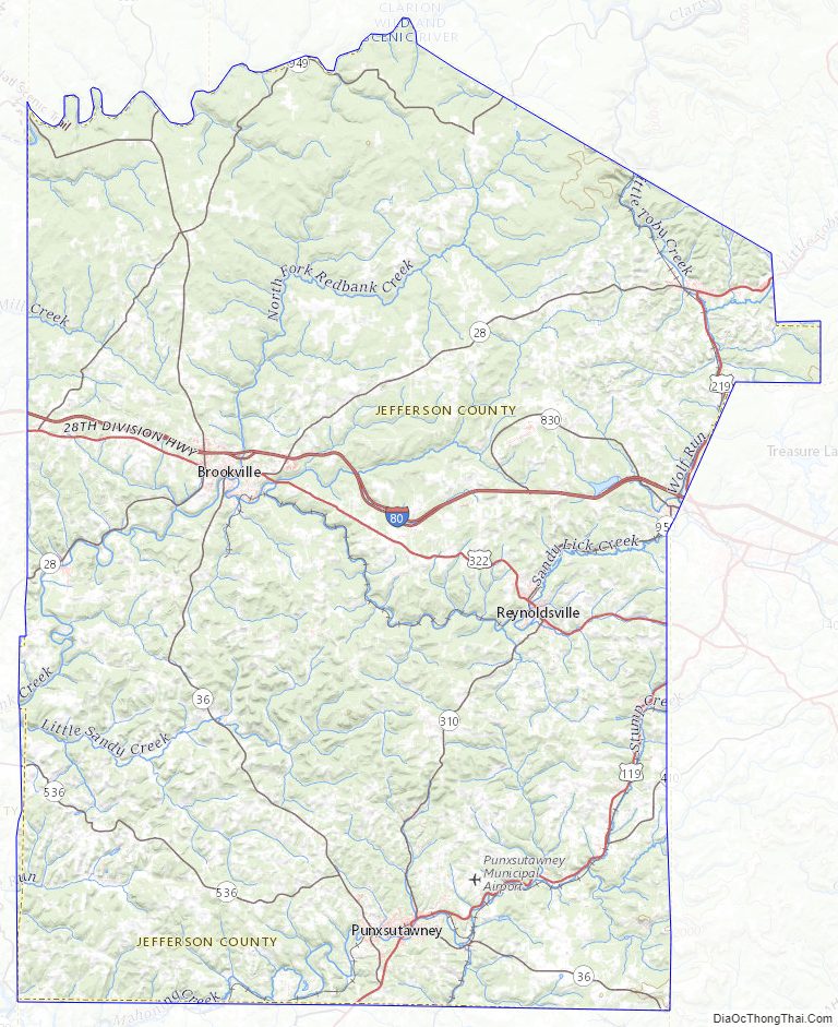
According to the U.S. Census Bureau, the county has a total area of 657 square miles (1,700 km), of which 652 square miles (1,690 km) is land and 4.4 square miles (11 km) (0.7%) is water. It has a warm-summer humid continental climate (Dfb) and average monthly temperatures in Brookville range from 24.8 °F in January to 68.8 °F in July, while in Punxsutawney they range from 25.7 °F in January to 69.6 °F in July. [1]
Adjacent counties
- Forest County (northwest)
- Elk County (northeast)
- Clearfield County (east)
- Indiana County (south)
- Armstrong County (southwest)
- Clarion County (west)
Major highways
- I-80
- US 119
- US 219
- US 322
- PA 28
- PA 36
- PA 310
- PA 410
- PA 536
- PA 830
- PA 899
- PA 949
- PA 950
Streams
There are many named streams flowing through Jefferson County, far too many to list here. An exhaustive list is presented in a separate article. All those streams eventually flow to the Allegheny River except for Bear Run, 1.36 square miles (3.5 km), in the southeast which flows into the Susquehanna River. The principal streams and the area of their watersheds that lie within the county are:
- Clarion River: 130.50 square miles (338.0 km)
- Little Toby Creek: 34.46 square miles (89.3 km)
- Clear Creek: 20.12 square miles (52.1 km)
- Cathers Run: 15.69 square miles (40.6 km)
- Mill Creek: 30.70 square miles (79.5 km)
- Redbank Creek: 375.52 square miles (972.6 km)
- North Fork Creek: 91.63 square miles (237.3 km)
- Clear Run: 9.79 square miles (25.4 km)
- Pekin Run: 10.12 square miles (26.2 km)
- Sandy Lick Creek: 143.98 square miles (372.9 km)
- Wolf Run: 18.19 square miles (47.1 km)
- Soldier Run: 11.09 square miles (28.7 km)
- Trout Run: 10.74 square miles (27.8 km)
- Mill Creek: 53.69 square miles (139.1 km)
- Fivemile Run: 17.55 square miles (45.5 km)
- Falls Creek: 11.39 square miles (29.5 km)
- Little Sandy Creek: 70.65 square miles (183.0 km)
- North Fork Creek: 91.63 square miles (237.3 km)
- Mahoning Creek: 149.63 square miles (387.5 km)
- East Branch Mahoning Creek: 15.27 square miles (39.5 km)
- Stump Creek: 14.86 square miles (38.5 km)
- Big Run: 19.41 square miles (50.3 km)
- Canoe Creek: 11.57 square miles (30.0 km)
- Elk Run: 13.20 square miles (34.2 km)
- Pine Run: 18.88 square miles (48.9 km)
Jefferson County Topographic Map
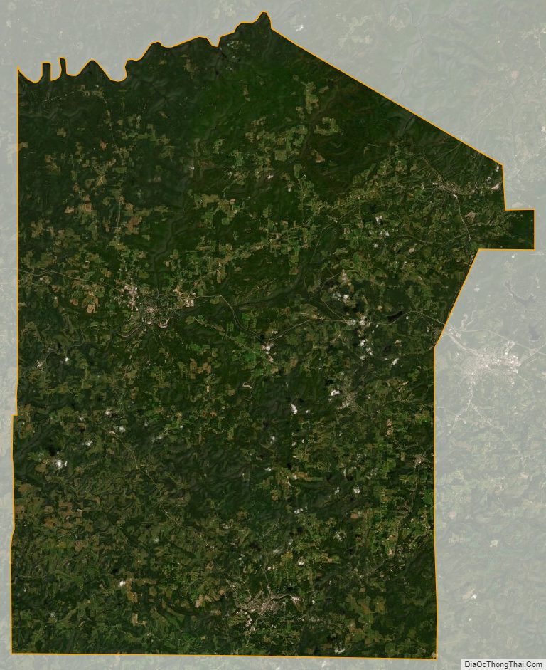
Jefferson County Satellite Map
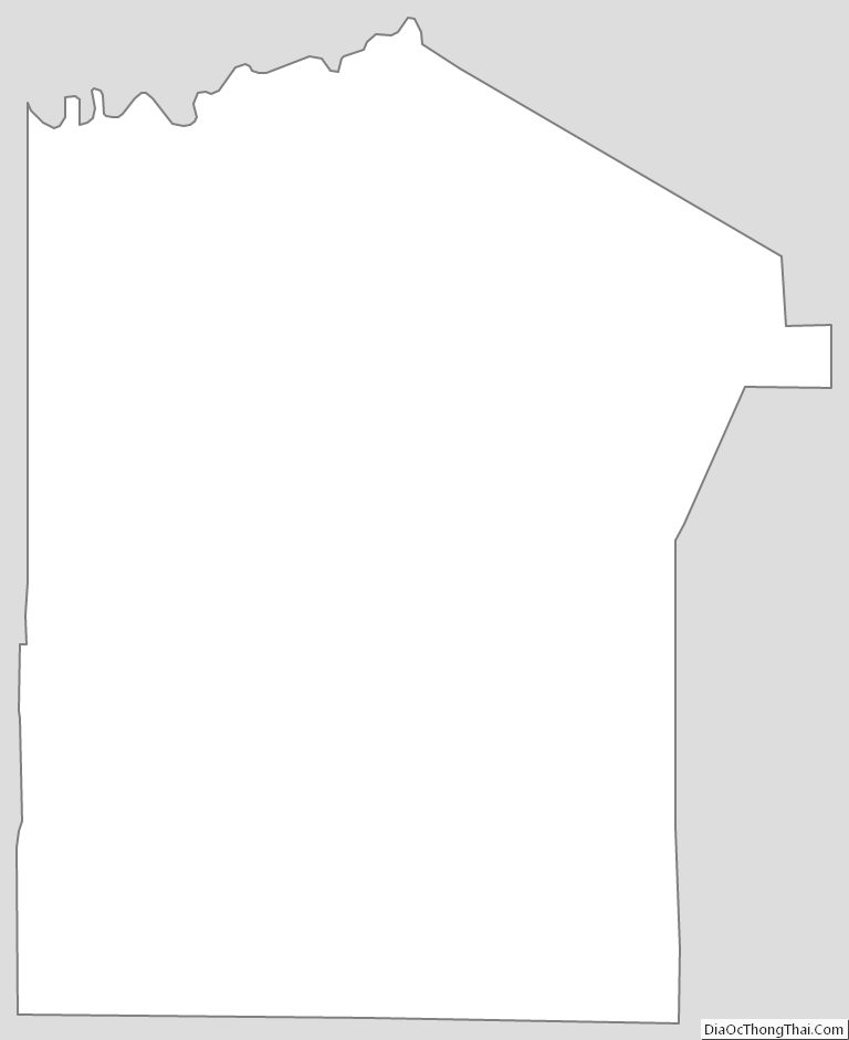
Jefferson County Outline Map