Clark County is a county in the U.S. state of South Dakota. As of the 2020 census, the population was 3,837. Its county seat is Clark. The county was created in 1873 and organized in 1881. It was named for Newton Clark, a Dakota Territory legislator in 1873.
| Name: | Clark County |
|---|---|
| FIPS code: | 46-025 |
| State: | South Dakota |
| Founded: | 1873 |
| Named for: | Newton Clark |
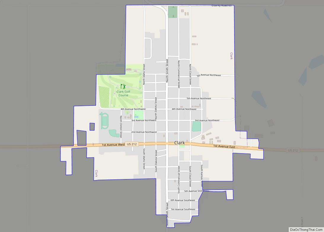
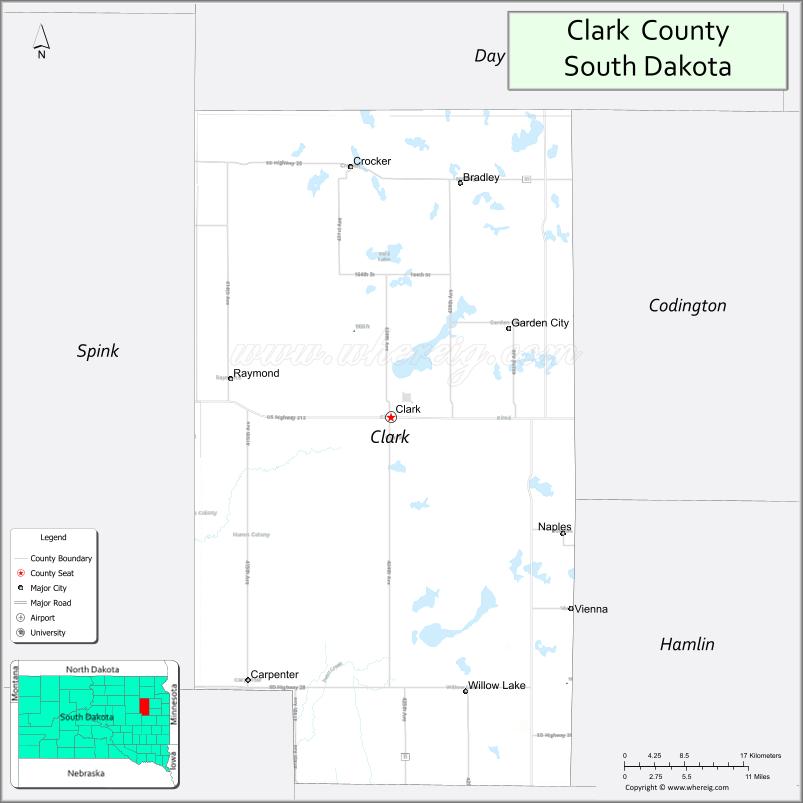
| Seat: | Clark |
| Largest city: | Clark |
| Total Area: | 967 sq mi (2,500 km²) |
| Land Area: | 958 sq mi (2,480 km²) |
| Total Population: | 3,837 |
| Population Density: | 4.0/sq mi (1.5/km²) |
| Time zone: | UTC−6 (Central) |
| Summer Time Zone (DST): | UTC−5 (CDT) |
| Website: | clark.sdcounties.org |
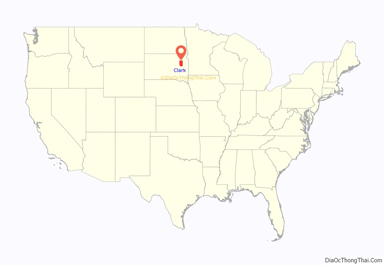
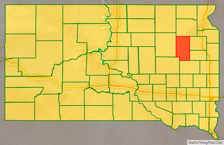
Clark County location map. Where is Clark County?
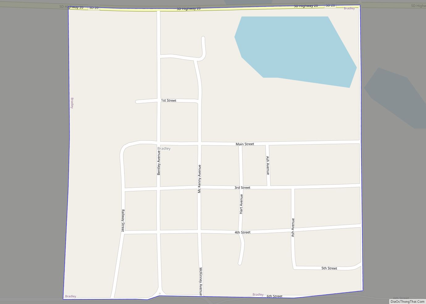
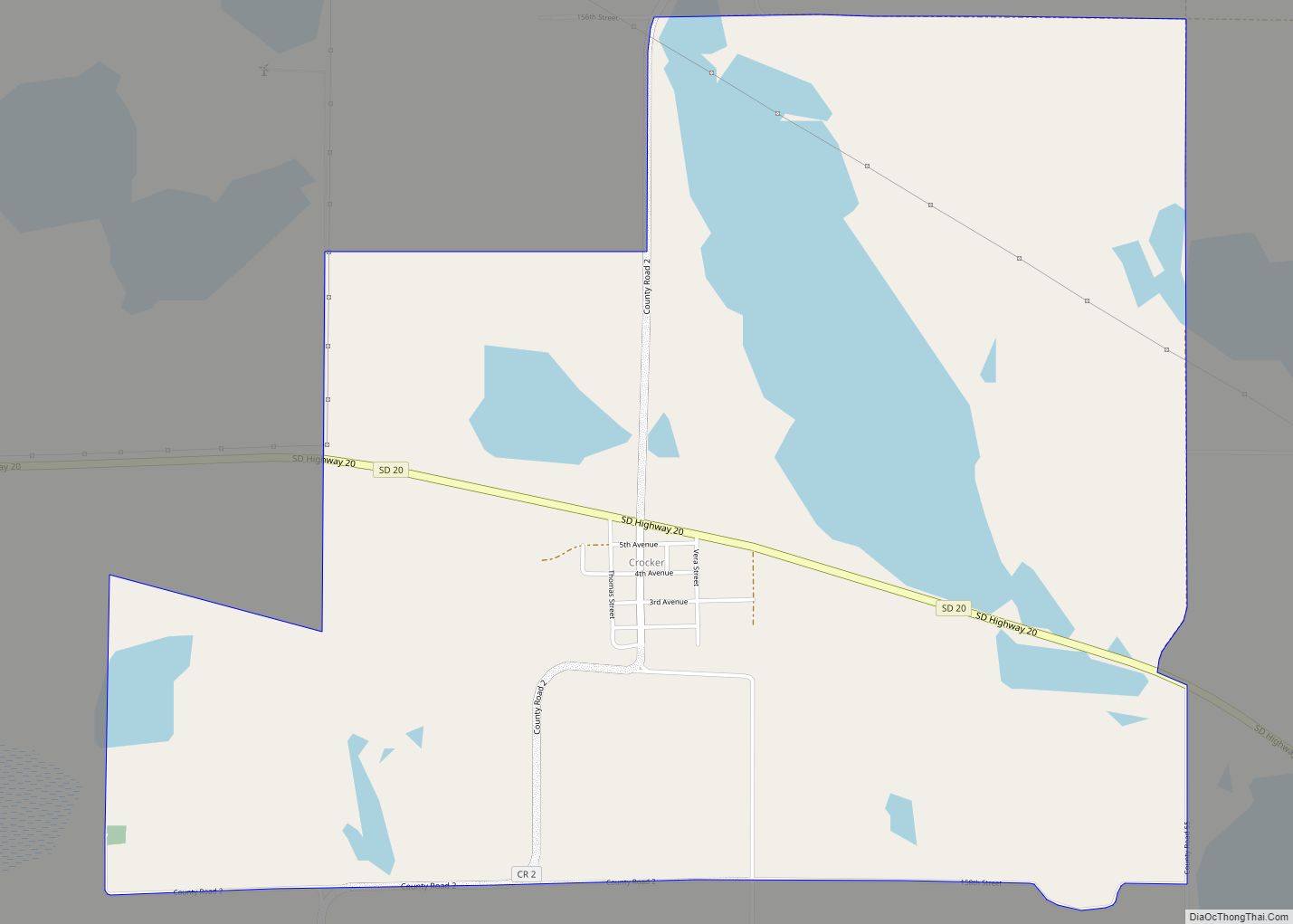
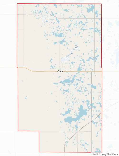
Clark County Road Map
Geography
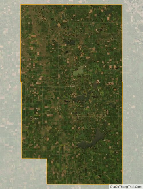
Clark County terrain consists of rolling hills, dotted with lakes and ponds especially in the east central portion. The area is mostly devoted to agriculture. The county has a total area of 967 square miles (2,500 km), of which 958 square miles (2,480 km) is land and 9.9 square miles (26 km) (1.0%) is water.
Major highways
- U.S. Highway 212
- South Dakota Highway 20
- South Dakota Highway 25
- South Dakota Highway 28
Adjacent counties
- Day County – north
- Codington County – east
- Hamlin County – southeast
- Kingsbury County – south
- Beadle County – southwest
- Spink County – west
Protected areas
- Christopherson State Public Shooting Area
- Dry Lake Number Two State Public Shooting Area
- Fordham State Public Shooting Area
- McPeek State Public Shooting Area
- Stairs Slough State Public Shooting Area
- Willow Lake State Public Shooting Area
Lakes and reservoirs
- Baileys Lake
- Dry Lake Number One
- Dry Lake Number Two
- Mud Lake
- Reid Lake
- Swan Lake
- Willow Lake
Clark County Topographic Map
Clark County Satellite Map
Clark County Outline Map