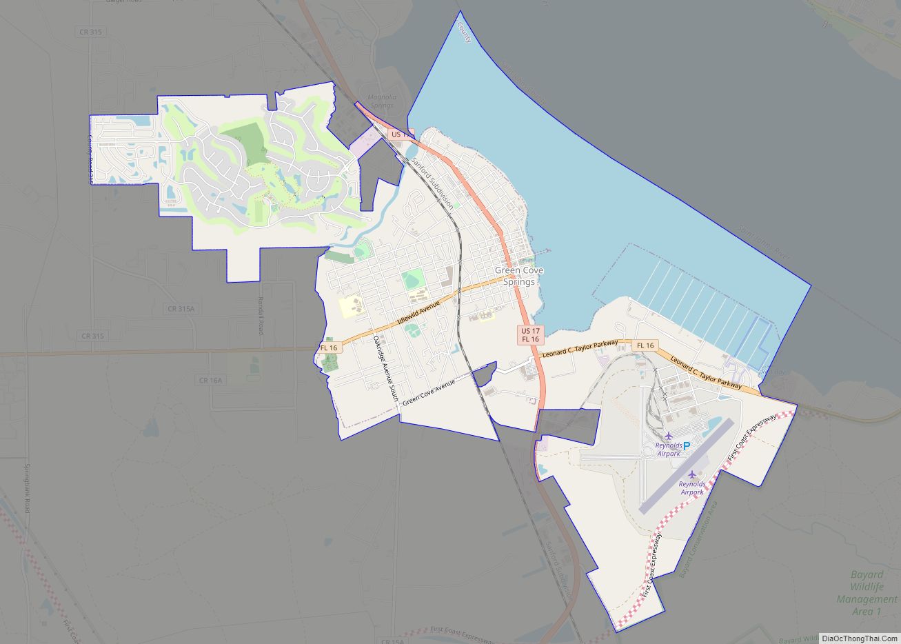
Green Cove Springs is a city in and the county seat of Clay County, Florida, United States. The population was 9,555 at the 2020 census. In 2021, the population increased to 9,784. Green Cove Springs is a part of the Jacksonville Metropolitan Area, home to 1,637,666 residents.
The city is named after the portion of the St. Johns River upon which it is built. The river bends here, and the area is sheltered by trees that are perennially green.
| Name: | Green Cove Springs city |
|---|---|
| LSAD Code: | 25 |
| LSAD Description: | city (suffix) |
| State: | Florida |
| County: | Clay County |
| Elevation: | 16 ft (5 m) |
| Total Area: | 10.27 sq mi (26.59 km²) |
| Land Area: | 7.53 sq mi (19.50 km²) |
| Water Area: | 2.74 sq mi (7.09 km²) |
| Total Population: | 9,784 |
| Population Density: | 1,299.34/sq mi (501.74/km²) |
| ZIP code: | 32043 |
| Area code: | 904 |
| FIPS code: | 1227400 |
| GNISfeature ID: | 0283381 |
| Website: | www.greencovesprings.com |
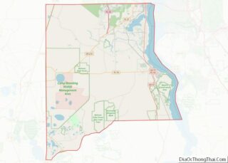
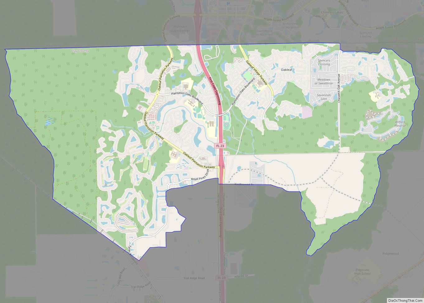
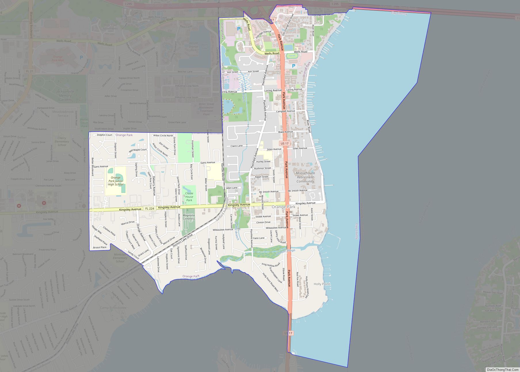
Online Interactive Map
Click on ![]() to view map in "full screen" mode.
to view map in "full screen" mode.
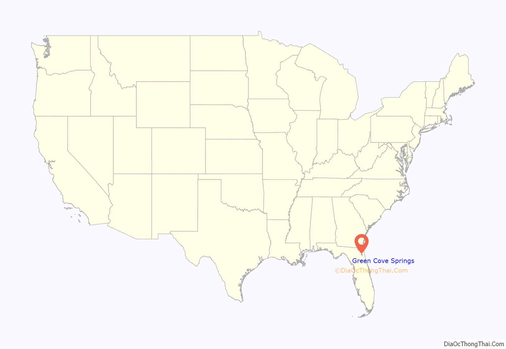
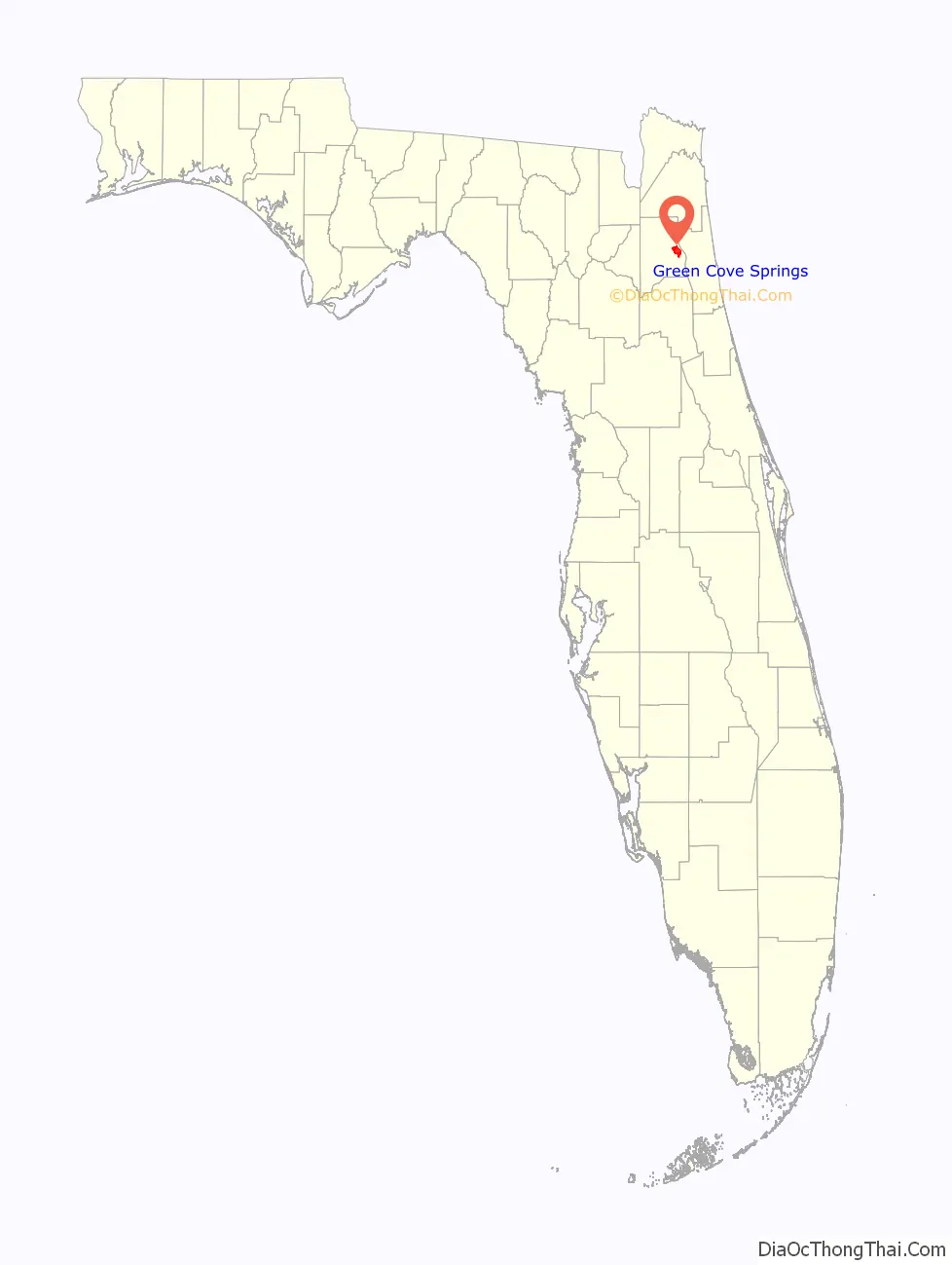
Green Cove Springs location map. Where is Green Cove Springs city?
History
The area was first inhabited over 7,000 years ago by Native Americans by the warm mineral spring. The hydrological spring of the same name, locally known as the “Original Fountain of Youth”, attracted guests in the 19th century; more than a dozen hotels were near the spring. Today, the sulfur-scented spring water feeds an adjacent public swimming pool before flowing the short distance to the St. Johns River. The Green Cove Springs area was first developed by George J. F. Clarke in 1816 when he was provided land, under a Spanish land grant, to build a sawmill. Green Cove Springs was established in 1854 as White Sulfur Springs. Renamed in 1866, it became the Clay County seat in 1871.
Agriculture and tourism were two of the primary economic ventures until the end of the 19th century, when Henry Flagler’s railroad began taking tourists further south into Florida. In 1895, the Great Freeze destroyed the area’s citrus crops, and tourism all but ended. The 1920s had renewed development, with automobile traffic bringing in tourists again. The Great Depression of the 1930s was the end of growth again for the city.
The first women’s club in the state of Florida was established in Green Cove Springs in 1883. The Village Improvement Association led local efforts to beautify the town, and established its first public library.
The period immediately before and during World War II again brought new growth to Green Cove Springs. On September 11, 1940, the U.S. Navy opened Naval Air Station Lee Field in honor of Ensign Bejamin Lee, who had lost his life in a crash at Killinghome, England, during World War I. In August 1943, the facility was renamed Naval Air Station Green Cove Springs and consisted of four 5,000-foot (1,500 m) asphalt runways. One of the Marine Corps aviators training in the F4U Corsair Operational Training Unit at Lee Field in early 1945 was eventual television personality Ed McMahon. After the war, NAS Green Cove Springs was downgraded in status to a Naval Auxiliary Air Station (NAAS) as part of the greater NAS Jacksonville complex. Thirteen piers were constructed along the west bank of the St. Johns River adjacent to NAAS Green Cove Springs to house a U.S. Navy Atlantic Reserve Fleet, Florida “mothball fleet” of some 500 vessels, primarily destroyers, destroyer escorts, and fleet auxiliaries. In 1960, the Navy decommissioned NAAS Green Cove Springs and the pier facility. Some of the mothballed vessels were transferred to foreign navies, while others were relocated to other Reserve Fleet locations.
In 1984, the city annexed the former naval base into the city to use it for further growth and development as the Clay County Port and Reynolds Industrial Park. The air station is now a private airfield known as Reynolds Airpark (FAA airfield identifier FL60) with a single 5,000-foot (1,500 m) asphalt runway currently operational, although reportedly in poor condition. Though the original air traffic control tower is still standing, attached to one of the former Navy aircraft hangars, the airfield remains an uncontrolled facility.
Green Cove Springs is the birthplace of Charles E. Merrill (1885–1956), one of the founders of Merrill Lynch. The town’s spring is described by his son James Merrill in the poem “Two From Florida”, published in The Inner Room (1988).
Green Cove Springs is also the birthplace of Augusta Savage (née Augusta Christine Fells, February 29, 1892 – March 26, 1962). Savage was an African-American sculptor associated with the Harlem Renaissance.
Locally, the community is known as the home of Gustafson’s Farm, a brand name of milk and dairy products sold throughout Florida. The main Gustafson Dairy Farm is located in Green Cove Springs and is one of the largest privately owned dairy farms in the Southeastern United States. Started in 1908, the main farm occupies nearly 10,000 acres (40 km) adjacent to the city limits. Gustafson’s has many bottling plants across the state, stretching from Tallahassee in the west to Tampa and Cocoa in the south. All Gustafson products have the picture of the husband-and-wife founders, Frank and Agnes Gustafson (also known as Mama and Papa Gus), who along with their first cow on their farm (named “Buttercup”) are prominently featured on the packaging of the dairy’s products.
Scenes for the 1971 “B” monster movie Blood Waters of Dr. Z (or Zaat) were filmed here. The movie was satirized on the television program Mystery Science Theater 3000.
Historic places
These sites are listed on the National Register of Historic Places:
- Clay County Courthouse
- Green Cove Springs Historic District
- St. Mary’s Church
- “The Hellhouse” original rehearsal studio to Lynyrd Skynyrd
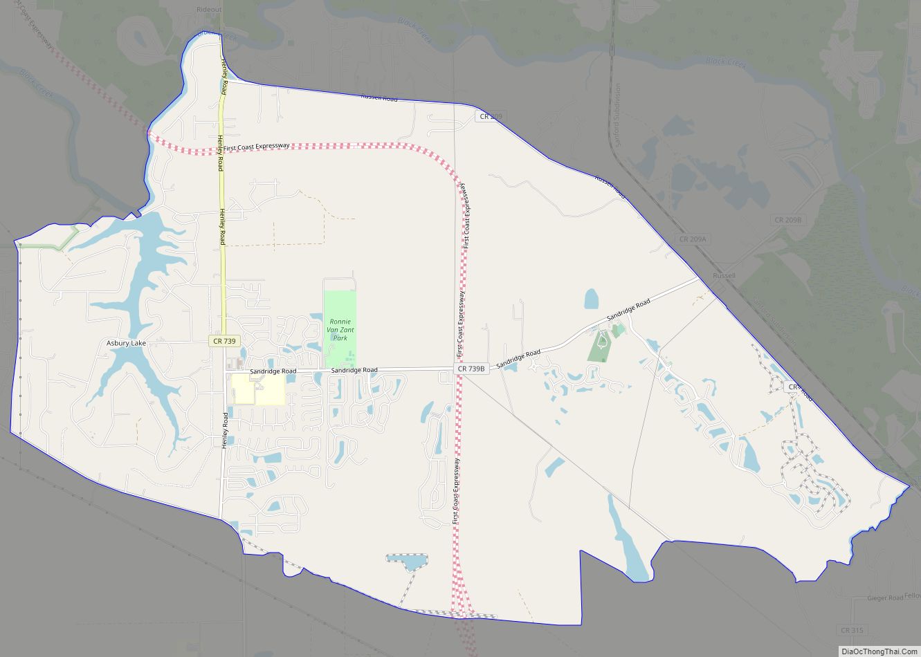
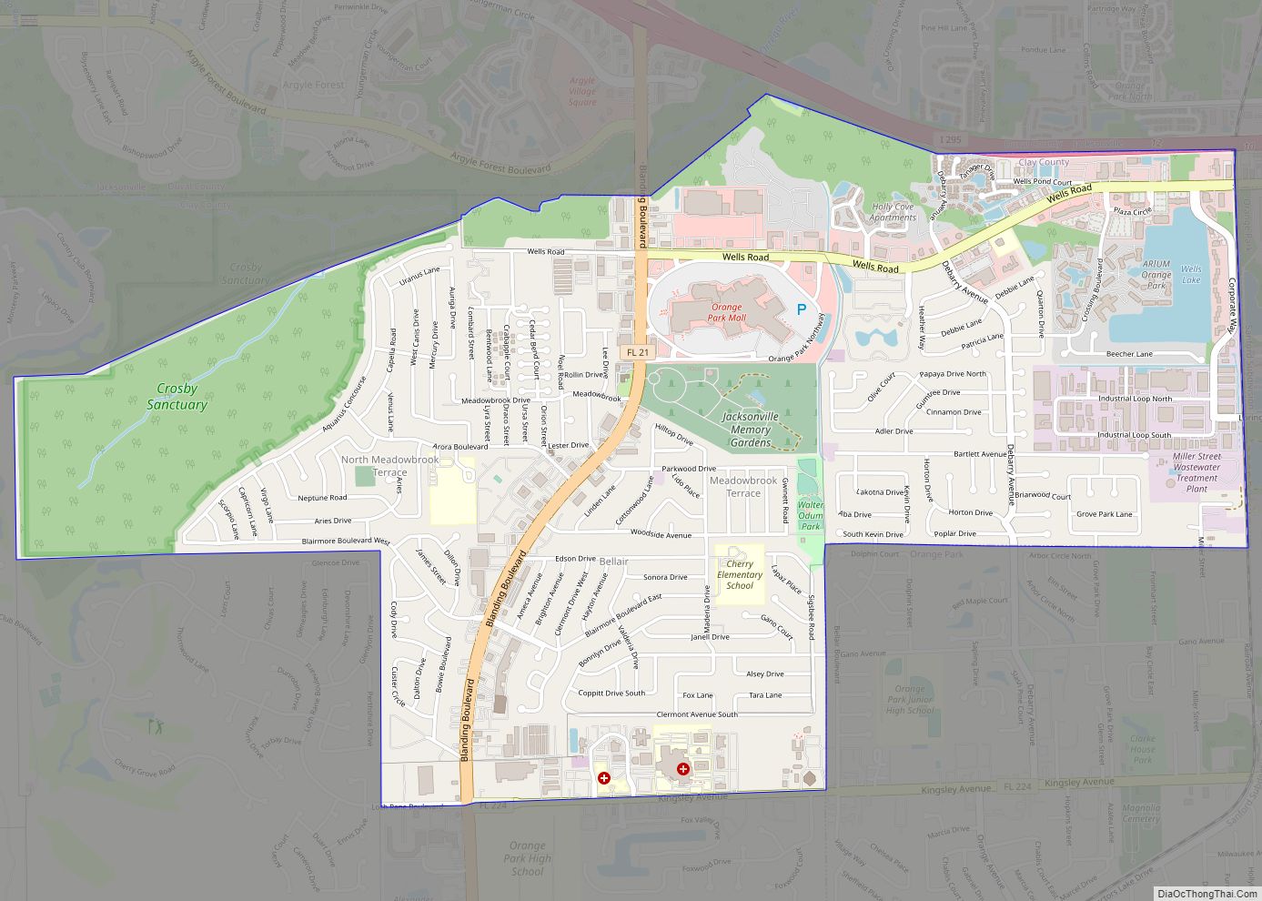
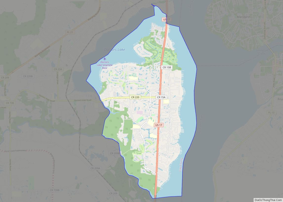
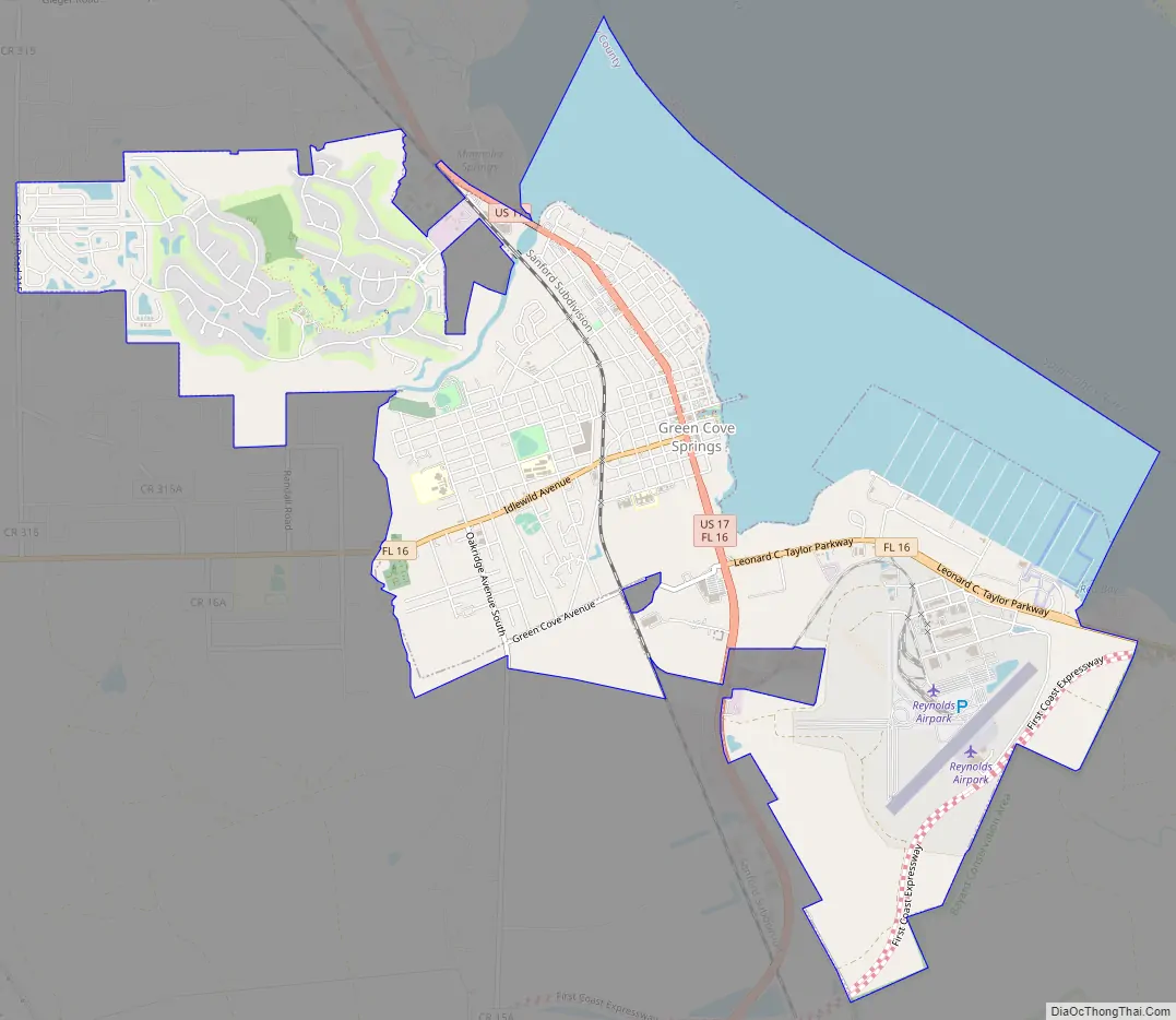
Green Cove Springs Road Map
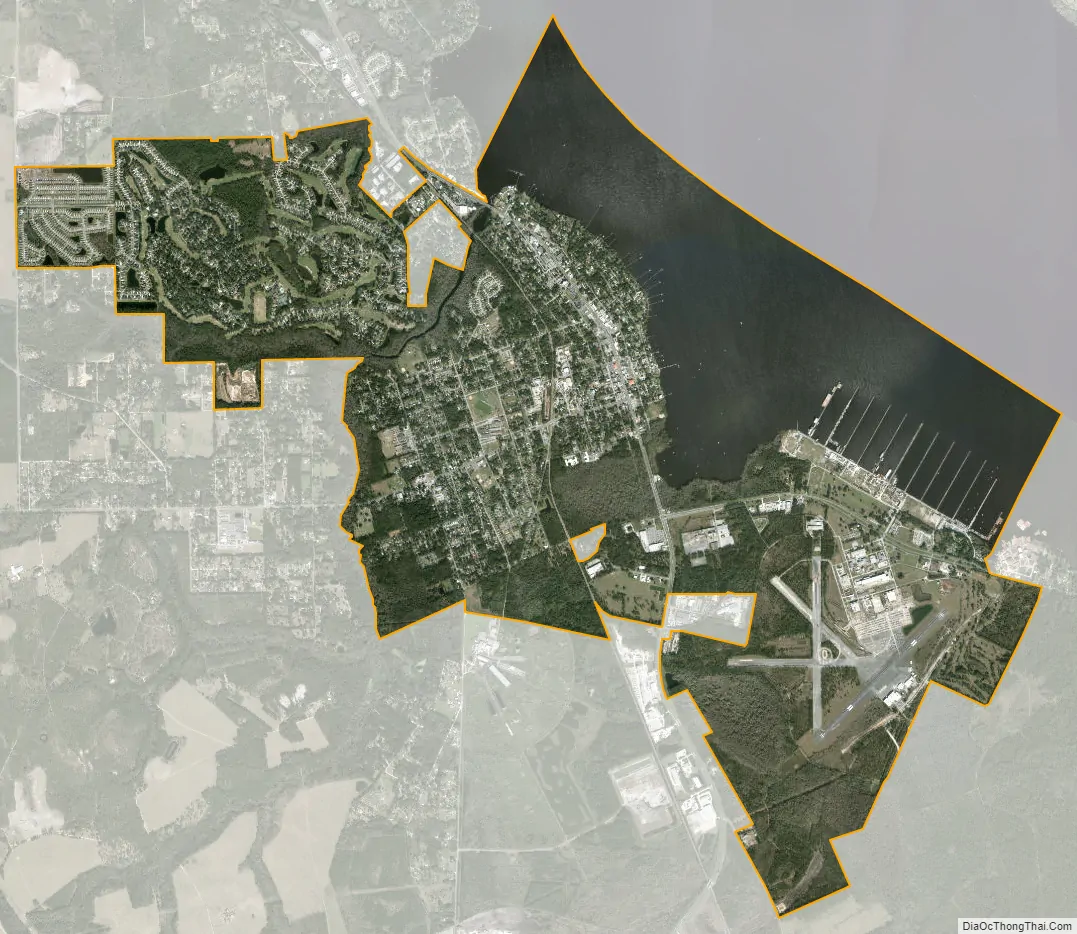
Green Cove Springs city Satellite Map
Geography
Green Cove Springs is located on the eastern border of Clay County at 29°59′34″N 81°41′2″W / 29.99278°N 81.68389°W / 29.99278; -81.68389 (29.992716, –81.683786), along the St. Johns River.
U.S. Route 17 passes through the center of town as Orange Avenue and leads north 28 miles (45 km) to downtown Jacksonville and south 26 miles (42 km) to Palatka. State Road 16 departs west from the center of the city and leads 27 miles (43 km) to Starke. SR 16 leaves eastbound from US 17 south of the city center and crosses the St. Johns River by the Shands Bridge, leading to St. Augustine 25 miles (40 km) to the east. By the late 2020s, the First Coast Expressway, a major toll bypass road connecting I-10 and I-95, is expected to pass to the west and south of Green Cove Springs.
According to the United States Census Bureau, the city has a total area of 9.9 square miles (25.6 km), of which 7.4 square miles (19.1 km) are land and 2.5 square miles (6.5 km), or 25.35%, are covered by water.
See also
Map of Florida State and its subdivision:- Alachua
- Baker
- Bay
- Bradford
- Brevard
- Broward
- Calhoun
- Charlotte
- Citrus
- Clay
- Collier
- Columbia
- Desoto
- Dixie
- Duval
- Escambia
- Flagler
- Franklin
- Gadsden
- Gilchrist
- Glades
- Gulf
- Hamilton
- Hardee
- Hendry
- Hernando
- Highlands
- Hillsborough
- Holmes
- Indian River
- Jackson
- Jefferson
- Lafayette
- Lake
- Lee
- Leon
- Levy
- Liberty
- Madison
- Manatee
- Marion
- Martin
- Miami-Dade
- Monroe
- Nassau
- Okaloosa
- Okeechobee
- Orange
- Osceola
- Palm Beach
- Pasco
- Pinellas
- Polk
- Putnam
- Saint Johns
- Saint Lucie
- Santa Rosa
- Sarasota
- Seminole
- Sumter
- Suwannee
- Taylor
- Union
- Volusia
- Wakulla
- Walton
- Washington
- Alabama
- Alaska
- Arizona
- Arkansas
- California
- Colorado
- Connecticut
- Delaware
- District of Columbia
- Florida
- Georgia
- Hawaii
- Idaho
- Illinois
- Indiana
- Iowa
- Kansas
- Kentucky
- Louisiana
- Maine
- Maryland
- Massachusetts
- Michigan
- Minnesota
- Mississippi
- Missouri
- Montana
- Nebraska
- Nevada
- New Hampshire
- New Jersey
- New Mexico
- New York
- North Carolina
- North Dakota
- Ohio
- Oklahoma
- Oregon
- Pennsylvania
- Rhode Island
- South Carolina
- South Dakota
- Tennessee
- Texas
- Utah
- Vermont
- Virginia
- Washington
- West Virginia
- Wisconsin
- Wyoming