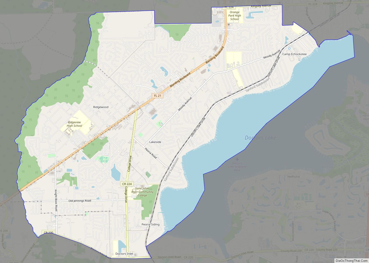
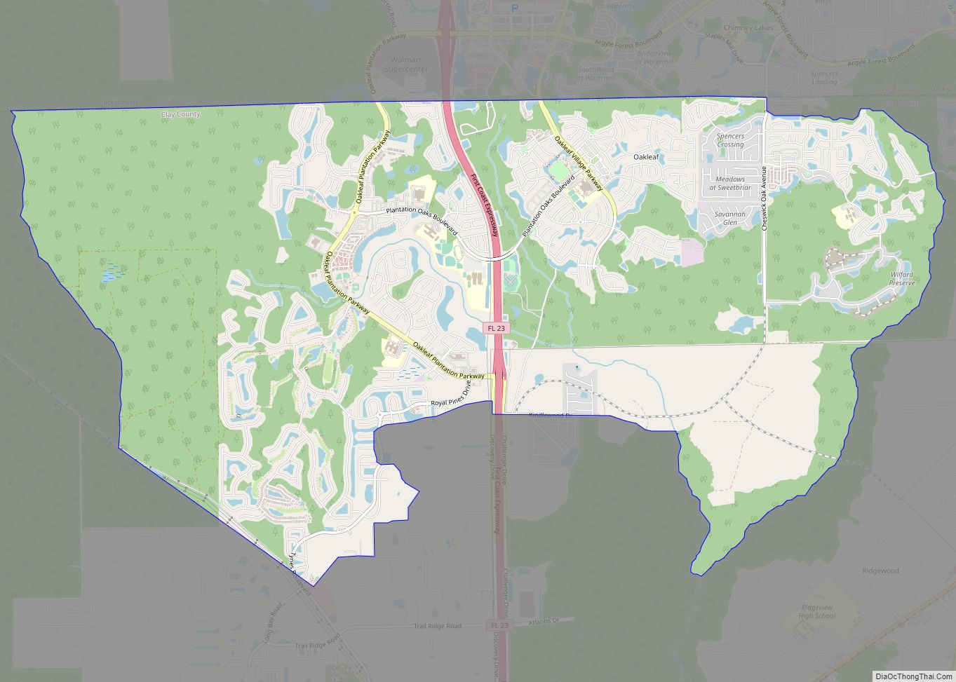
Orange Park is a town in Clay County, Florida, United States. It is a suburb of Jacksonville, in neighboring Duval County. The population was 8,412 at the 2010 census. The name “Orange Park” is additionally applied to a wider area of northern Clay County outside the town limits, covering such communities as Fleming Island, Lakeside, Bellair-Meadowbrook Terrace and Oakleaf Plantation.
The town’s name reflects the hope of its founders for a fruit-growing industry, but their crops were destroyed in the Great Freeze of 1894–1895. Despite recovery elsewhere, the crops never came back to Orange Park.
| Name: | Orange Park town |
|---|---|
| LSAD Code: | 43 |
| LSAD Description: | town (suffix) |
| State: | Florida |
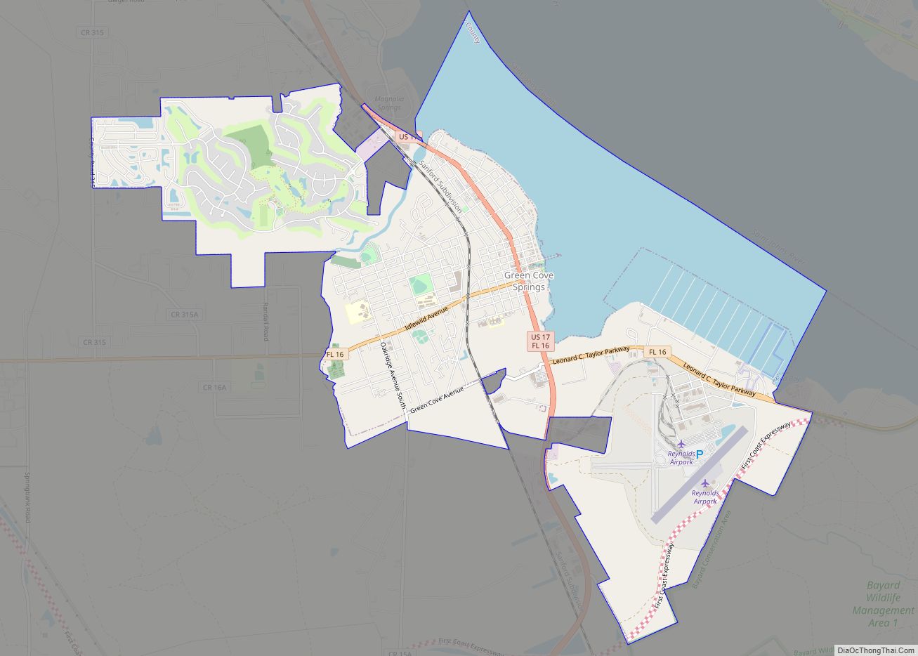
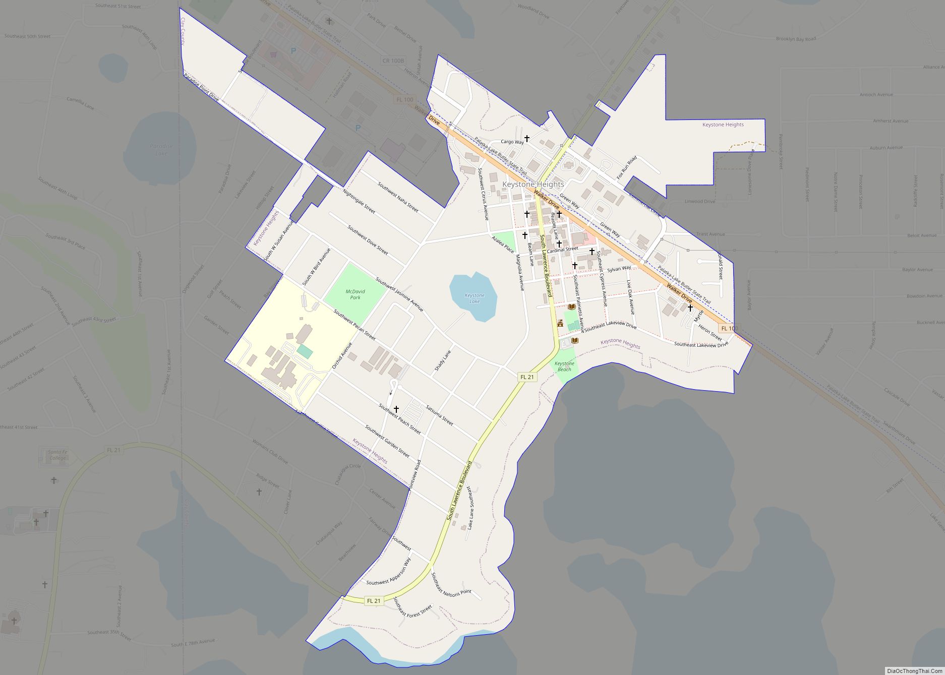
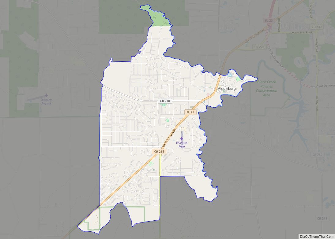
| County: | Clay County |
| Elevation: | 13 ft (4 m) |
| Total Area: | 5.32 sq mi (13.78 km²) |
| Land Area: | 3.64 sq mi (9.42 km²) |
| Water Area: | 1.68 sq mi (4.36 km²) |
| Total Population: | 9,089 |
| Population Density: | 2,498.35/sq mi (964.51/km²) |
| ZIP code: | 32000-32099 |
| Area code: | 904 |
| FIPS code: | 1252125 |
| GNISfeature ID: | 0288219 |
| Website: | www.townoforangepark.com |
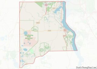
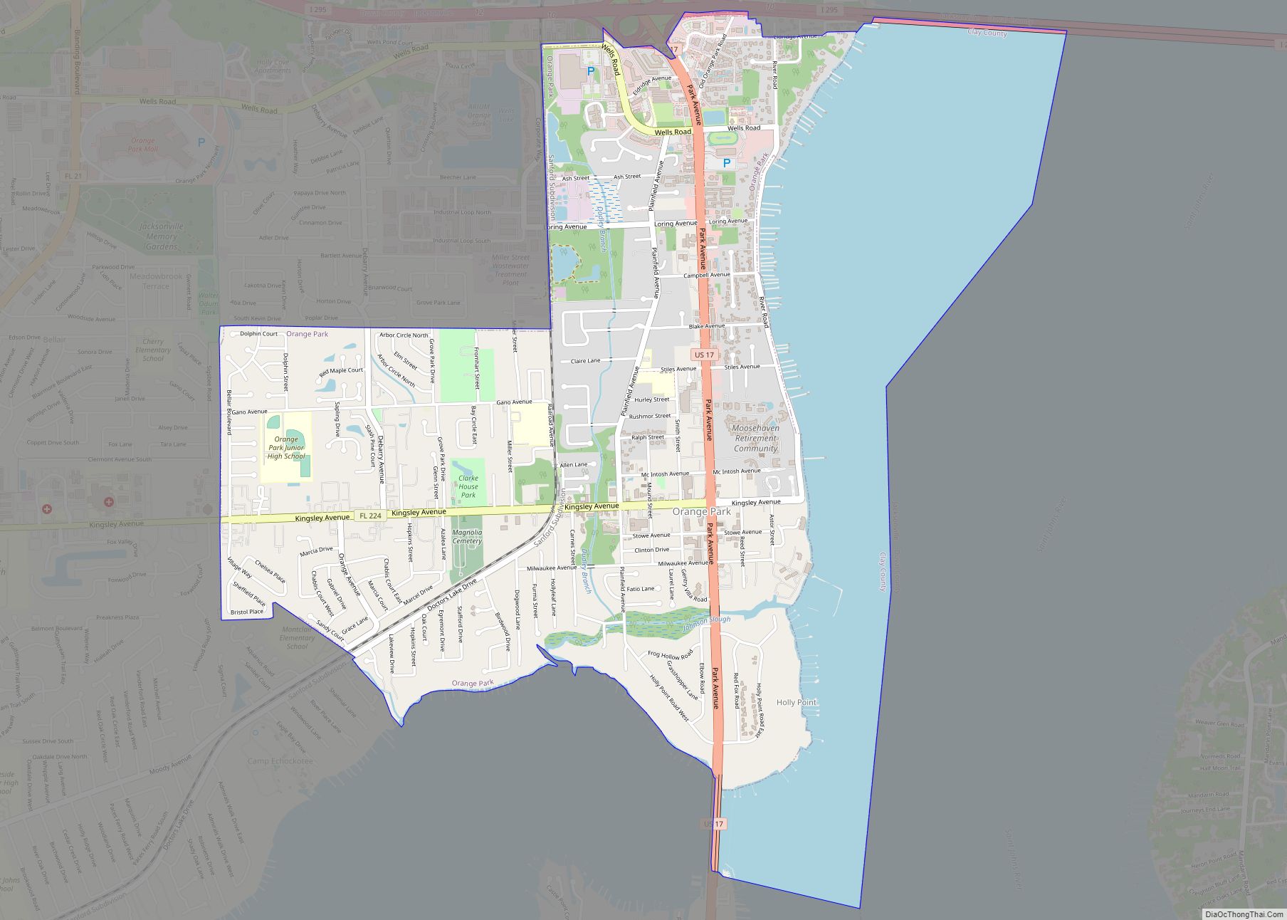
Online Interactive Map
Click on ![]() to view map in "full screen" mode.
to view map in "full screen" mode.
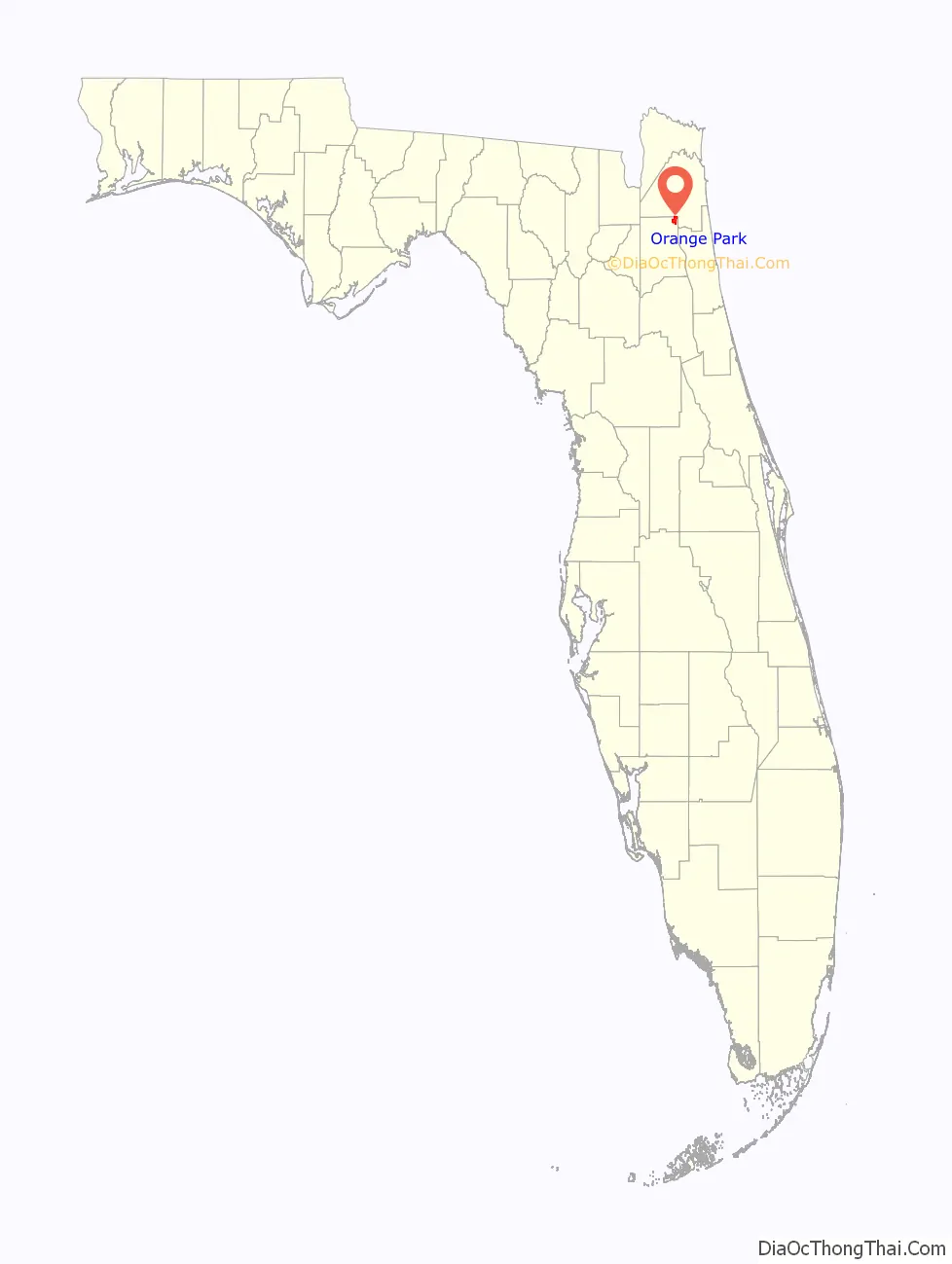
Orange Park location map. Where is Orange Park town?

History
Orange Park in the late 18th century was known simply as Laurel Grove. The name Laurel Grove comes from Sarah and William Pengree, who received a land grant from the Spanish governor. Laurel Grove was sold to Zephaniah Kingsley, of the Kingsley Plantation, upon William’s death. Zephaniah developed Laurel Grove into a model farming plantation for over 10 years. In 1813, General Matthews invaded East Florida, triggering the Patriots’ Rebellion. After Mathews left East Florida, Zephaniah’s wife, Anna Madgigine Jai Kingsley, burned down Laurel Grove to keep it out of Patriots’ hands.
The Town of Orange Park was founded, in 1877, by the Florida Winter Home and Improvement Company. After the Civil War, the company bought several thousand acres of the McIntosh plantation at Laurel Grove, for the purpose of creating a southern retreat and small farming community. The property was divided into building lots and small farm tracts, division that involved laying out the present street system, including Kingsley Avenue and Plainfield Avenue. The town was incorporated in 1879 by a special act of the Florida Legislature. In January 1880, Ulysses S. Grant and Philip Sheridan visited Orange Park. A large hotel was built at Kingsley Avenue along with a 1,200-foot pier. In 1895, the local fruit-growing industry was destroyed in the Great Freeze of 1895.
In October, 1891, the Orange Park Normal & Industrial School was opened. The school was founded by the American Missionary Association and allowed for both black and white students to attend, the only unsegragated school in Florida at the time. However, by the end of 1913, the school was closed due to Jim Crow laws.
In 1930, Robert Yerkes, with the support of Yale University, the Rockefeller Foundation, and the Carnegie Foundation, established a research station in Orange Park to study primate biology and behavior. Originally called the Yale Laboratories for Primate Biology, it was renamed the Yerkes Laboratory of Primate Biology after Yerkes retired in 1941. In 1956, ownership of the laboratory was transferred to Emory University. The laboratory became the Yerkes National Primate Research Center; it was moved to the Emory University campus in Georgia in 1965.
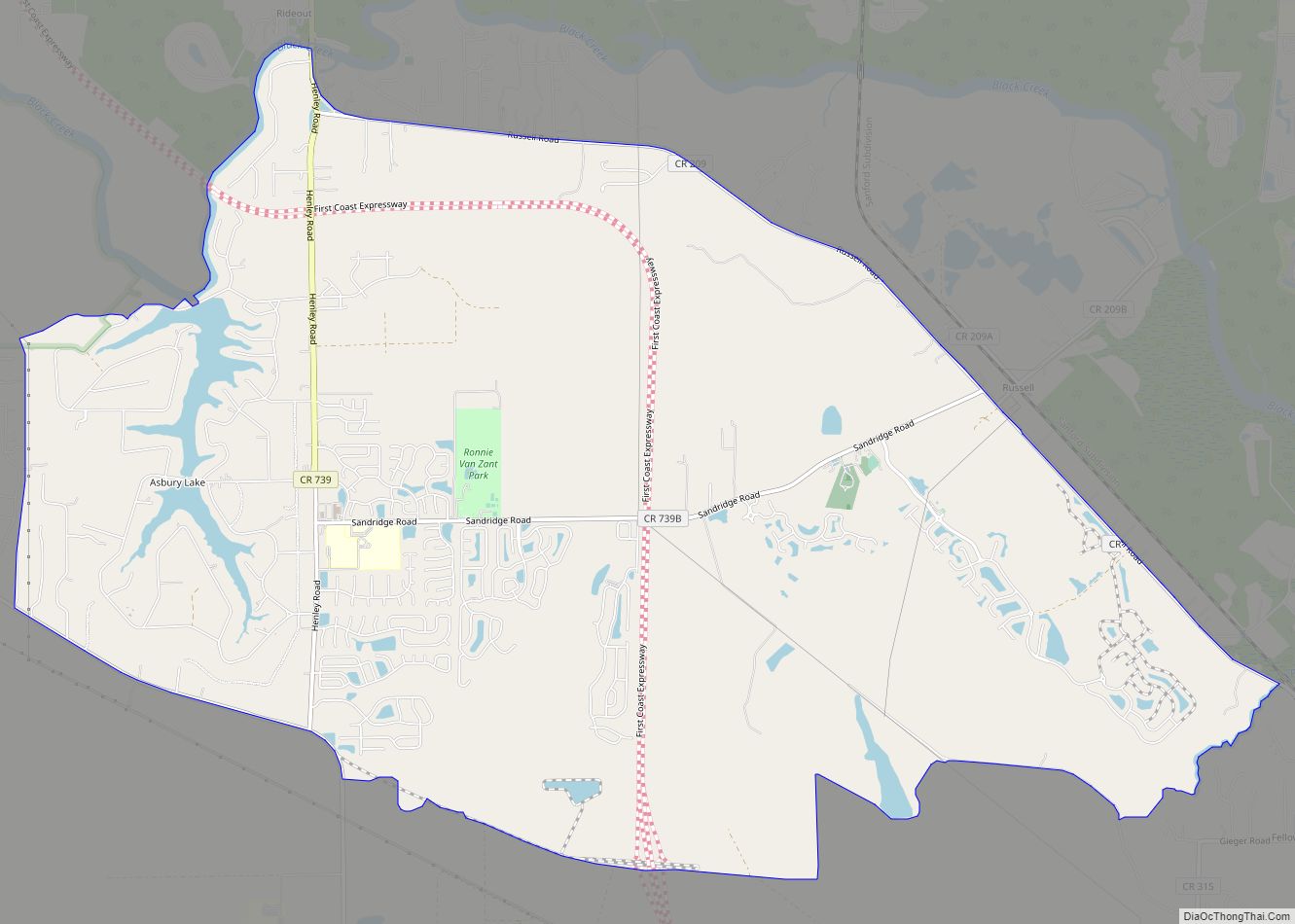
Orange Park Road Map
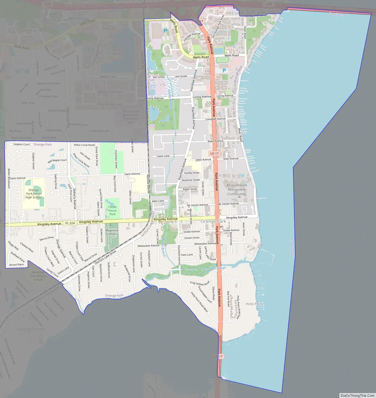
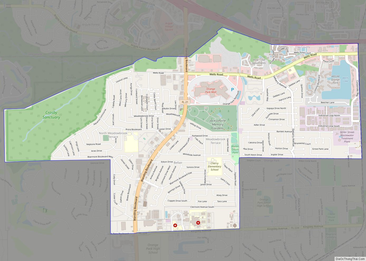
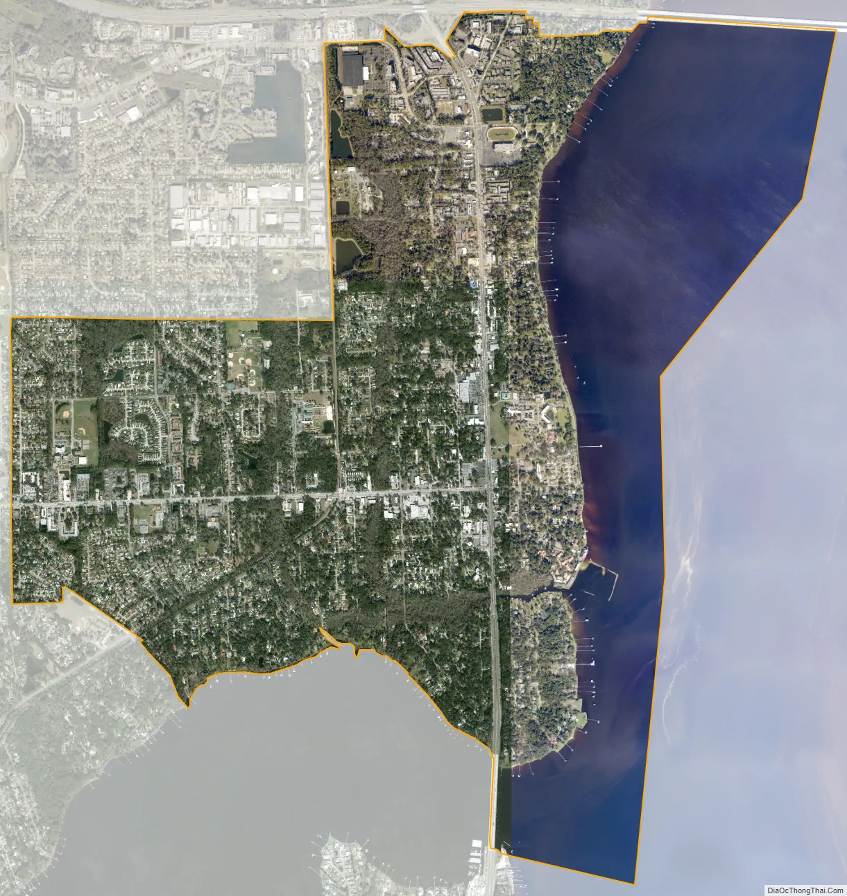
Orange Park city Satellite Map
Geography
Orange Park is in the northeast corner of Clay County, on the St. Johns River, at 30°10′7″N 81°42′31″W / 30.16861°N 81.70861°W / 30.16861; -81.70861 (30.168569, –81.708479). Orange Park is a suburb of Jacksonville which borders it to the north. Greater Orange Park encompasses the unincorporated communities of Fleming Island, Ridgewood, Doctors Inlet, Orange Park South, Lakeside, and Bellair-Meadowbrook Terrace.
According to the United States Census Bureau, the town has a total area of 5.3 square miles (13.7 km), of which 3.6 square miles (9.4 km) is land and 1.7 square miles (4.4 km) (31.71%) is water.
Orange Park Elementary School, built in 1927, continues to operate a few blocks from the river. It is near Moose Haven, in the River Road Historic District, a stretch of road parallel to the Saint Johns River and dotted with century-old trees, where many locals come to walk and jog in the afternoon. About a quarter of a mile away is Club Continental, previously called Mira Rio. Mira Rio, whose name was Spanish for “River Watch”, was the winter palazzo of Caleb Johnson, son of the founder of the Palmolive Soap Company, now the billion-dollar Colgate-Palmolive company.
Many households are affiliated with the military; NAS Jacksonville is less than 6 miles (10 km) away. Many others are in the medical field.
See also
Map of Florida State and its subdivision:- Alachua
- Baker
- Bay
- Bradford
- Brevard
- Broward
- Calhoun
- Charlotte
- Citrus
- Clay
- Collier
- Columbia
- Desoto
- Dixie
- Duval
- Escambia
- Flagler
- Franklin
- Gadsden
- Gilchrist
- Glades
- Gulf
- Hamilton
- Hardee
- Hendry
- Hernando
- Highlands
- Hillsborough
- Holmes
- Indian River
- Jackson
- Jefferson
- Lafayette
- Lake
- Lee
- Leon
- Levy
- Liberty
- Madison
- Manatee
- Marion
- Martin
- Miami-Dade
- Monroe
- Nassau
- Okaloosa
- Okeechobee
- Orange
- Osceola
- Palm Beach
- Pasco
- Pinellas
- Polk
- Putnam
- Saint Johns
- Saint Lucie
- Santa Rosa
- Sarasota
- Seminole
- Sumter
- Suwannee
- Taylor
- Union
- Volusia
- Wakulla
- Walton
- Washington
- Alabama
- Alaska
- Arizona
- Arkansas
- California
- Colorado
- Connecticut
- Delaware
- District of Columbia
- Florida
- Georgia
- Hawaii
- Idaho
- Illinois
- Indiana
- Iowa
- Kansas
- Kentucky
- Louisiana
- Maine
- Maryland
- Massachusetts
- Michigan
- Minnesota
- Mississippi
- Missouri
- Montana
- Nebraska
- Nevada
- New Hampshire
- New Jersey
- New Mexico
- New York
- North Carolina
- North Dakota
- Ohio
- Oklahoma
- Oregon
- Pennsylvania
- Rhode Island
- South Carolina
- South Dakota
- Tennessee
- Texas
- Utah
- Vermont
- Virginia
- Washington
- West Virginia
- Wisconsin
- Wyoming