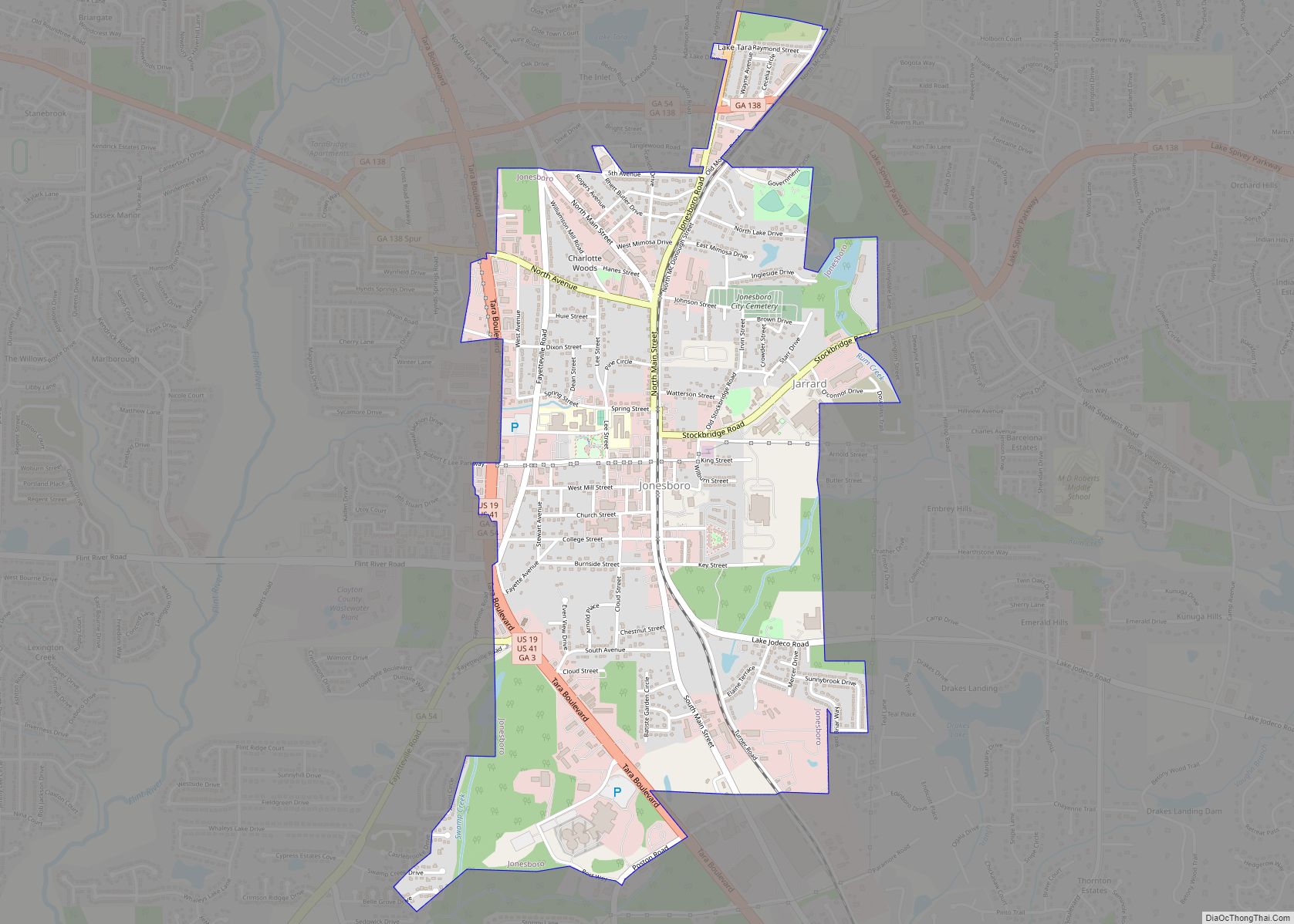
Clayton County is located in the north central portion of the U.S. state of Georgia. As of 2021, the population was estimated to be 297,100 by the Census Bureau. The county seat is Jonesboro.
Clayton County is included in the Atlanta metropolitan area, and is the sixth most-populous county in the state. It is the home of most of Hartsfield–Jackson Atlanta International Airport, the busiest airport in the world by total passengers.
| Name: | Clayton County |
|---|---|
| FIPS code: | 13-063 |
| State: | Georgia |
| Founded: | 1858 |
| Named for: | Augustin Smith Clayton |
| Seat: | Jonesboro |
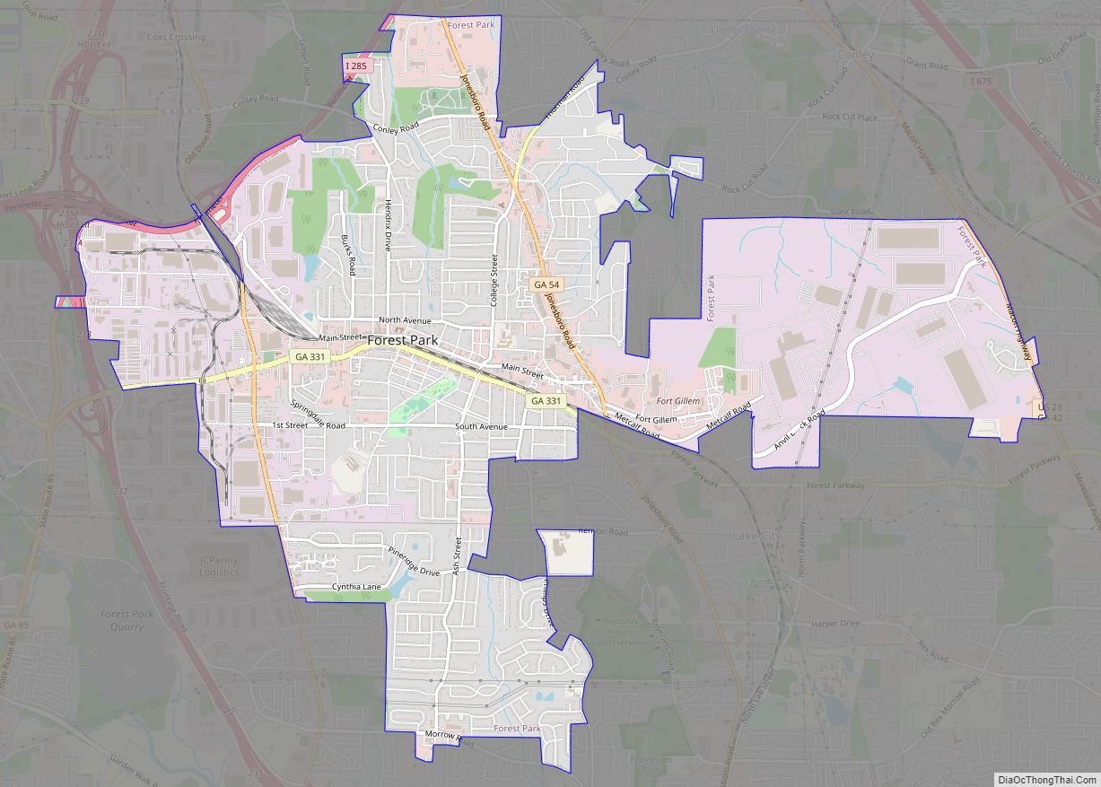
| Largest city: | Forest Park |
| Total Area: | 144 sq mi (370 km²) |
| Land Area: | 142 sq mi (370 km²) |
| Total Population: | 297,100 |
| Population Density: | 2,101/sq mi (811/km²) |
| Time zone: | UTC−5 (Eastern) |
| Summer Time Zone (DST): | UTC−4 (EDT) |
| Website: | www.claytoncountyga.gov |
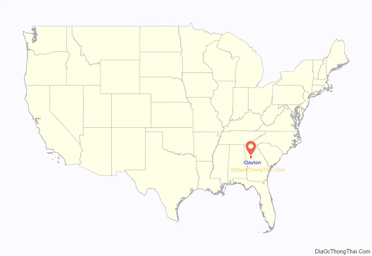
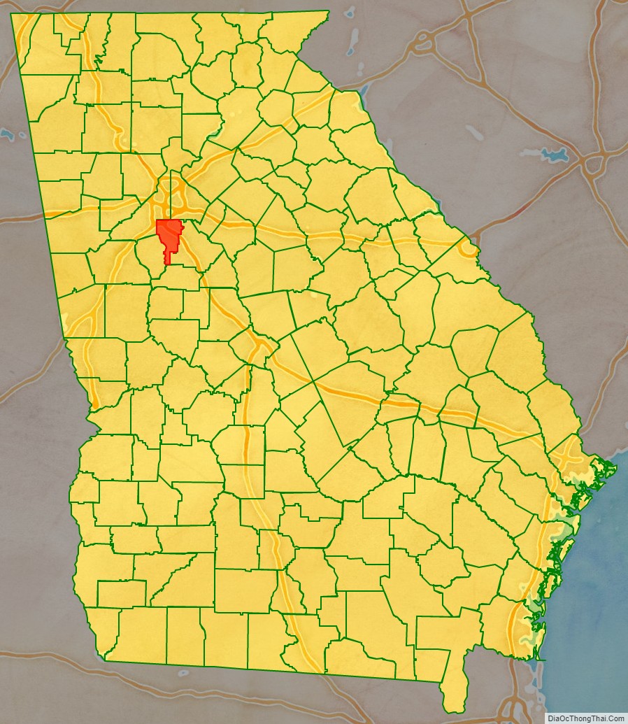
Clayton County location map. Where is Clayton County?
History
The county was established in 1858 and named in honor of Augustin Smith Clayton (1783–1839), who served in the United States House of Representatives from 1832 until 1835.
Clayton County was a battle site during the American Civil War, with the Battle of Jonesborough and the Battle of Lovejoy’s Station taking place in the area.
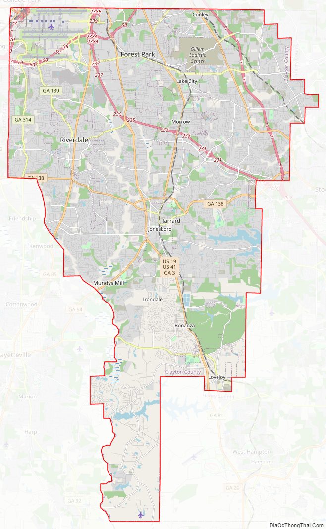
Clayton County Road Map
Geography
According to the U.S. Census Bureau, the county has a total area of 144 square miles (370 km), of which 142 square miles (370 km) is land and 2.8 square miles (7.3 km) (1.9%) is water. It is the third-smallest county by area in Georgia.
The eastern portion of Clayton County, between Forest Park and Lovejoy, is located in the Upper Ocmulgee River sub-basin of the Altamaha River basin. The western portion of the county is located in the Upper Flint River sub-basin of the ACF River Basin (Apalachicola-Chattahoochee-Flint River Basin).
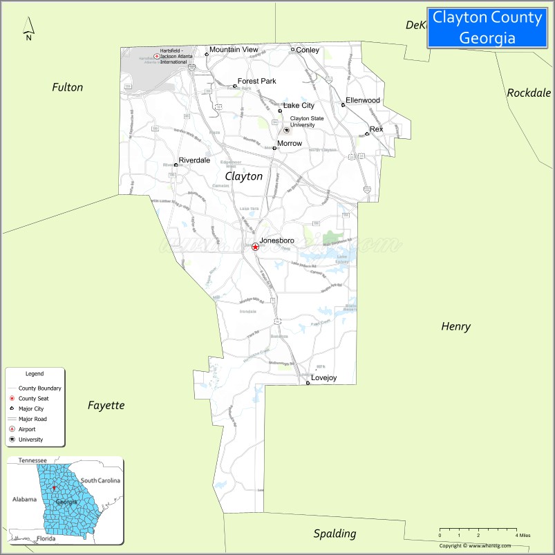
Adjacent counties
- DeKalb County (northeast)
- Henry County (east)
- Spalding County (south)
- Fayette County (southwest)
- Fulton County (northwest)
Clayton County Topographic Map
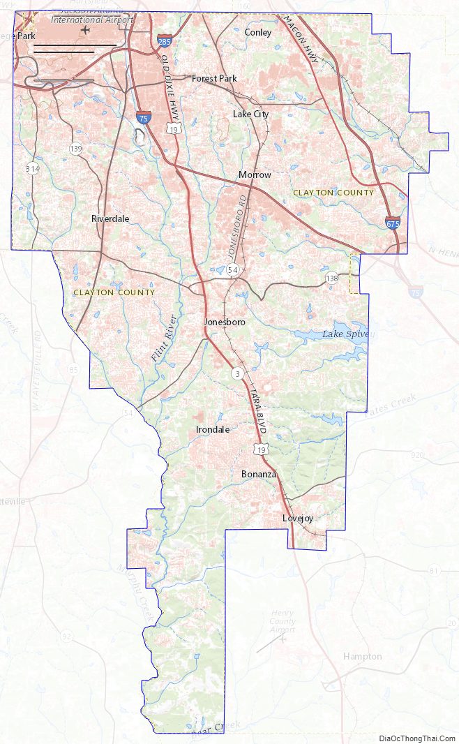
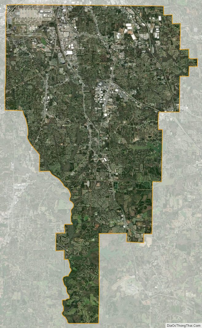
Clayton County Satellite Map
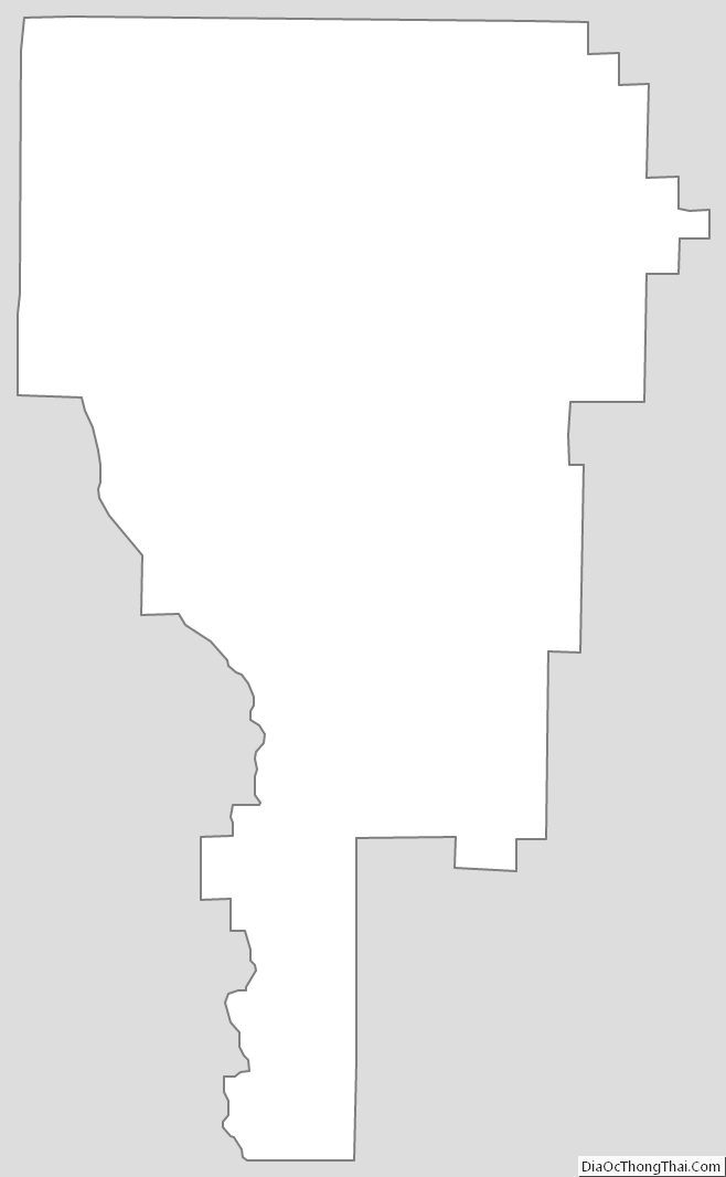
Clayton County Outline Map