Jonesboro is a city in and the county seat of Clayton County, Georgia, United States. The population was 4,724 as of the 2010 census.
The city’s name was originally spelled Jonesborough. During the Civil War, the final skirmish in the Atlanta Campaign was fought here south of Atlanta, cutting off the city and forcing the mayor of Atlanta to surrender at Marietta in early September 1864. The final fall of Atlanta in the Battle of Jonesborough ended up being a decisive point in the nation’s history, propelling Abraham Lincoln to re-election two months later, and continuing the war until the Confederacy finally surrendered the following year.
| Name: | Jonesboro city |
|---|---|
| LSAD Code: | 25 |
| LSAD Description: | city (suffix) |
| State: | Georgia |
| County: | Clayton County |
| Elevation: | 919 ft (280 m) |
| Total Area: | 3.00 sq mi (7.76 km²) |
| Land Area: | 2.98 sq mi (7.71 km²) |
| Water Area: | 0.02 sq mi (0.05 km²) |
| Total Population: | 4,235 |
| Population Density: | 1,422.10/sq mi (549.16/km²) |
| ZIP code: | 30236-30238 |
| Area code: | 770/678/470 |
| FIPS code: | 1342604 |
| GNISfeature ID: | 0332118 |
| Website: | http://jonesboroga.com |
Online Interactive Map
Click on ![]() to view map in "full screen" mode.
to view map in "full screen" mode.
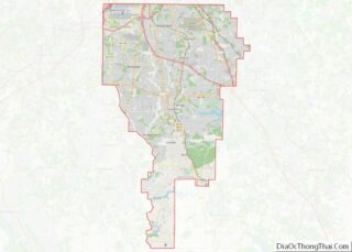
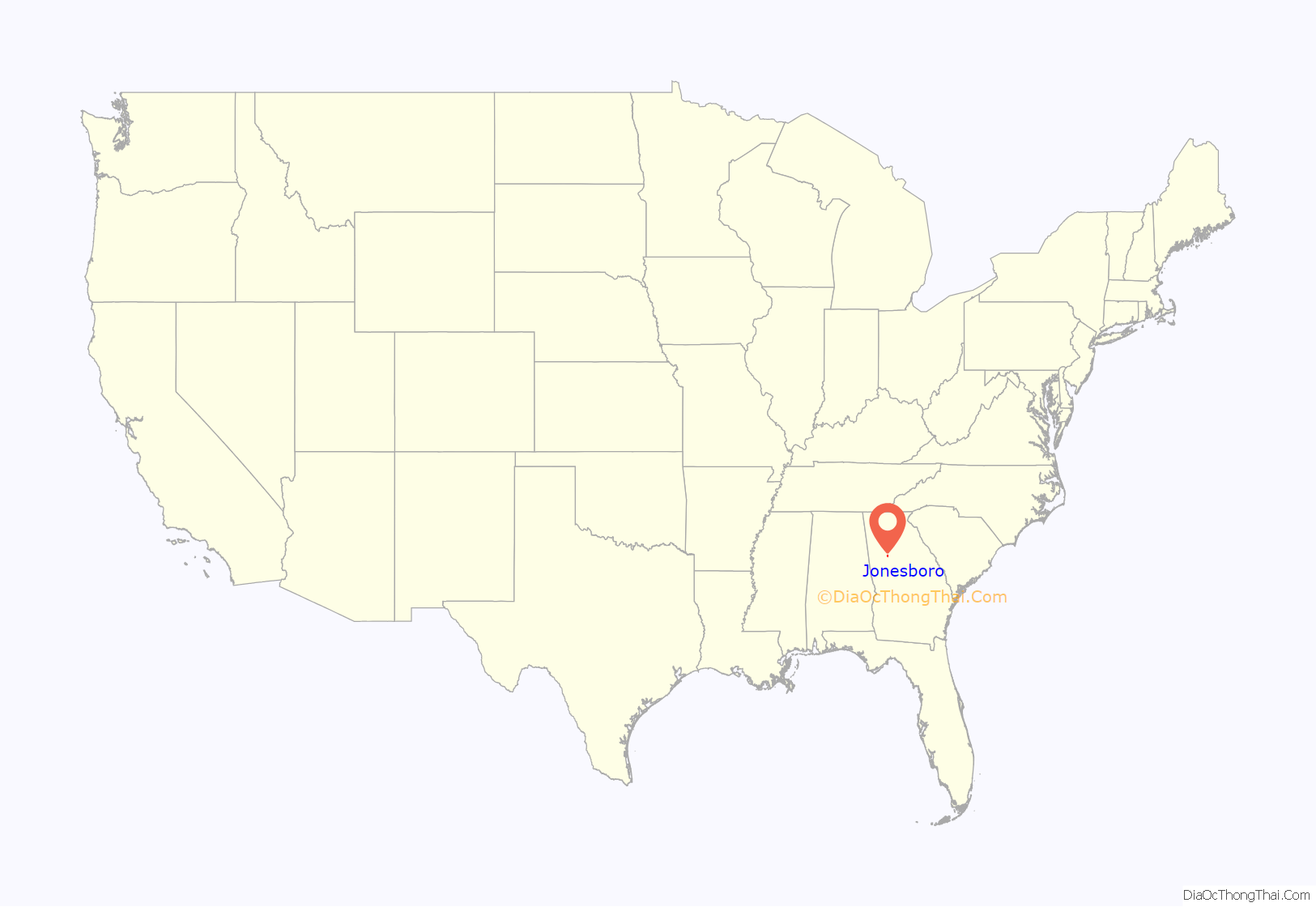
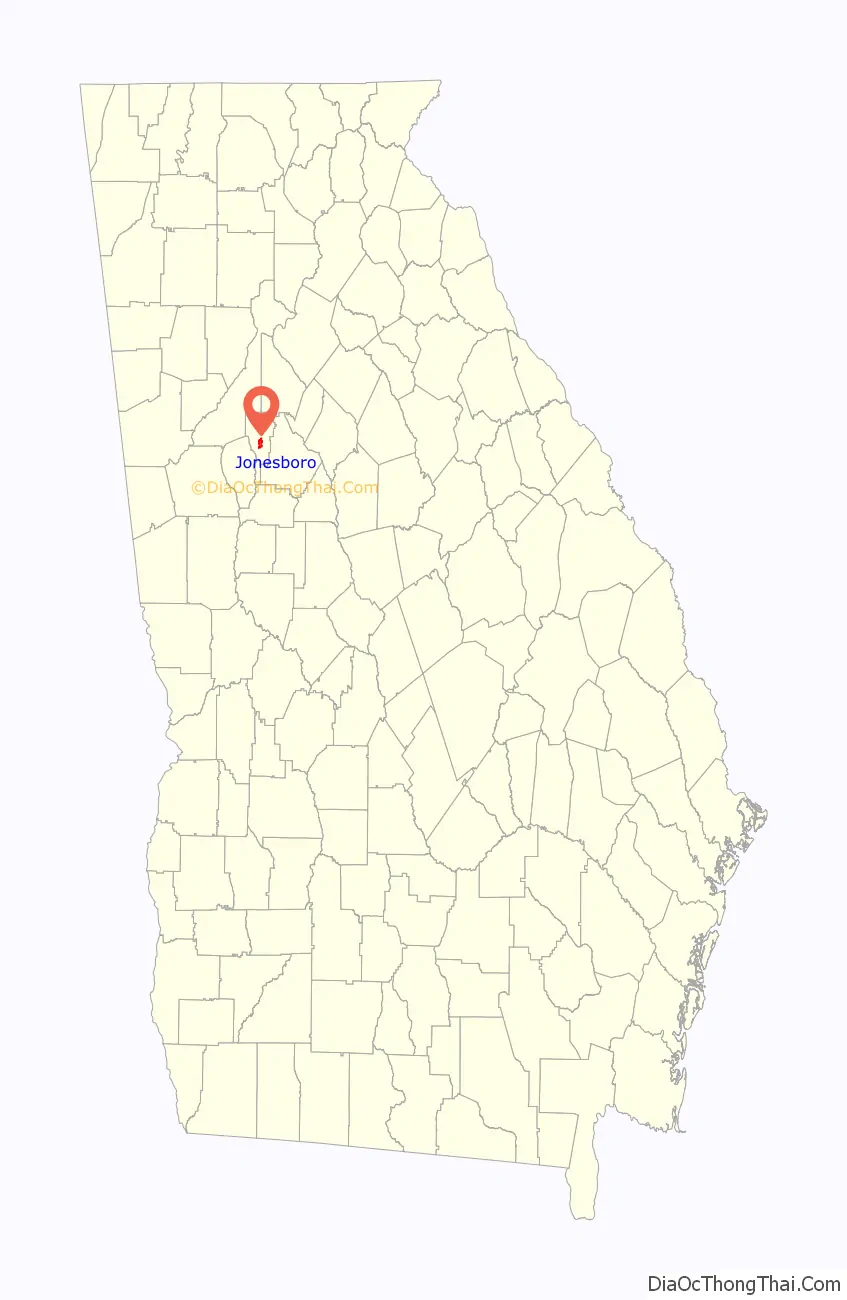
Jonesboro location map. Where is Jonesboro city?
History
Jonesboro elected their first Black Mayor, Dr. Sonya Sartor, in March 2023.
Jonesboro was founded as Leaksville in 1823. In 1846, the Macon and Western Railroad arrived into the area and the town was renamed in honor of railroad official Samuel G. Jones.
Jonesboro was incorporated in 1859.
Jonesboro hosted the beach volleyball at the 1996 Summer Olympics with the artificial beach created at Clayton County International Park.
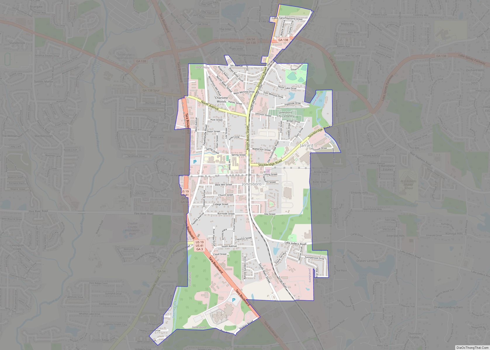
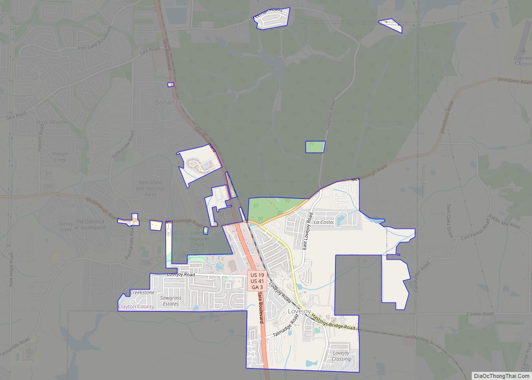
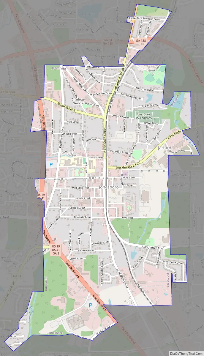
Jonesboro Road Map
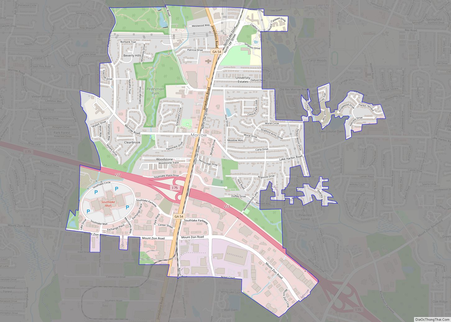
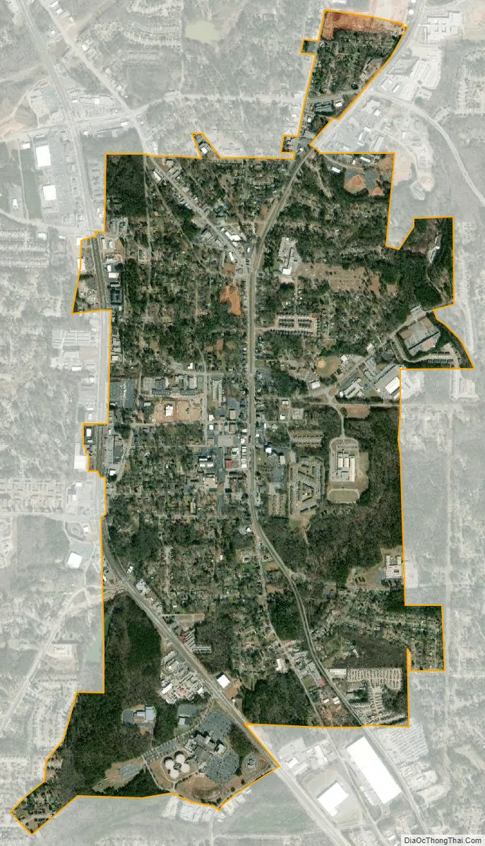
Jonesboro city Satellite Map
Geography
Jonesboro is located at 33°31′28″N 84°21′15″W / 33.52444°N 84.35417°W / 33.52444; -84.35417 (33.524512, -84.354290).
According to the United States Census Bureau, the city has a total area of 2.6 square miles (6.7 km), of which 2.6 square miles (6.7 km) is land and 0.1 square miles (0.26 km) (1.89%) is water.
The railroad through Jonesboro is built on the Eastern Continental Divide and there are no bridges for the tracks for many miles in either direction.
Climate
See also
Map of Georgia State and its subdivision:- Appling
- Atkinson
- Bacon
- Baker
- Baldwin
- Banks
- Barrow
- Bartow
- Ben Hill
- Berrien
- Bibb
- Bleckley
- Brantley
- Brooks
- Bryan
- Bulloch
- Burke
- Butts
- Calhoun
- Camden
- Candler
- Carroll
- Catoosa
- Charlton
- Chatham
- Chattahoochee
- Chattooga
- Cherokee
- Clarke
- Clay
- Clayton
- Clinch
- Cobb
- Coffee
- Colquitt
- Columbia
- Cook
- Coweta
- Crawford
- Crisp
- Dade
- Dawson
- Decatur
- DeKalb
- Dodge
- Dooly
- Dougherty
- Douglas
- Early
- Echols
- Effingham
- Elbert
- Emanuel
- Evans
- Fannin
- Fayette
- Floyd
- Forsyth
- Franklin
- Fulton
- Gilmer
- Glascock
- Glynn
- Gordon
- Grady
- Greene
- Gwinnett
- Habersham
- Hall
- Hancock
- Haralson
- Harris
- Hart
- Heard
- Henry
- Houston
- Irwin
- Jackson
- Jasper
- Jeff Davis
- Jefferson
- Jenkins
- Johnson
- Jones
- Lamar
- Lanier
- Laurens
- Lee
- Liberty
- Lincoln
- Long
- Lowndes
- Lumpkin
- Macon
- Madison
- Marion
- McDuffie
- McIntosh
- Meriwether
- Miller
- Mitchell
- Monroe
- Montgomery
- Morgan
- Murray
- Muscogee
- Newton
- Oconee
- Oglethorpe
- Paulding
- Peach
- Pickens
- Pierce
- Pike
- Polk
- Pulaski
- Putnam
- Quitman
- Rabun
- Randolph
- Richmond
- Rockdale
- Schley
- Screven
- Seminole
- Spalding
- Stephens
- Stewart
- Sumter
- Talbot
- Taliaferro
- Tattnall
- Taylor
- Telfair
- Terrell
- Thomas
- Tift
- Toombs
- Towns
- Treutlen
- Troup
- Turner
- Twiggs
- Union
- Upson
- Walker
- Walton
- Ware
- Warren
- Washington
- Wayne
- Webster
- Wheeler
- White
- Whitfield
- Wilcox
- Wilkes
- Wilkinson
- Worth
- Alabama
- Alaska
- Arizona
- Arkansas
- California
- Colorado
- Connecticut
- Delaware
- District of Columbia
- Florida
- Georgia
- Hawaii
- Idaho
- Illinois
- Indiana
- Iowa
- Kansas
- Kentucky
- Louisiana
- Maine
- Maryland
- Massachusetts
- Michigan
- Minnesota
- Mississippi
- Missouri
- Montana
- Nebraska
- Nevada
- New Hampshire
- New Jersey
- New Mexico
- New York
- North Carolina
- North Dakota
- Ohio
- Oklahoma
- Oregon
- Pennsylvania
- Rhode Island
- South Carolina
- South Dakota
- Tennessee
- Texas
- Utah
- Vermont
- Virginia
- Washington
- West Virginia
- Wisconsin
- Wyoming