Fulton County is located in the north-central portion of the U.S. state of Georgia. As of the 2020 United States census, the population was 1,066,710, making it the state’s most-populous county and its only one with over one million inhabitants. Its county seat and largest city is Atlanta, the state capital. Approximately 90% of the City of Atlanta is within Fulton County; the other 10% lies within DeKalb County. Fulton County is part of the Atlanta-Sandy Springs-Roswell, GA Metropolitan Statistical Area.
| Name: | Fulton County |
|---|---|
| FIPS code: | 13-121 |
| State: | Georgia |
| Founded: | 1853 |
| Named for: | Robert Fulton |
| Seat: | Atlanta |
| Largest city: | Atlanta |
| Total Area: | 534 sq mi (1,380 km²) |
| Land Area: | 527 sq mi (1,360 km²) |
| Total Population: | 1,066,710 |
| Population Density: | 2,000/sq mi (800/km²) |
| Time zone: | UTC−5 (Eastern) |
| Summer Time Zone (DST): | UTC−4 (EDT) |
| Website: | www.fultoncountyga.gov |
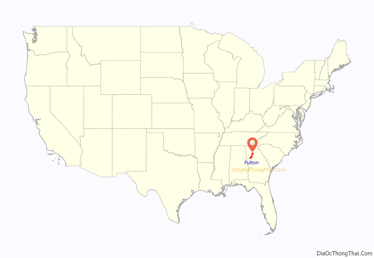
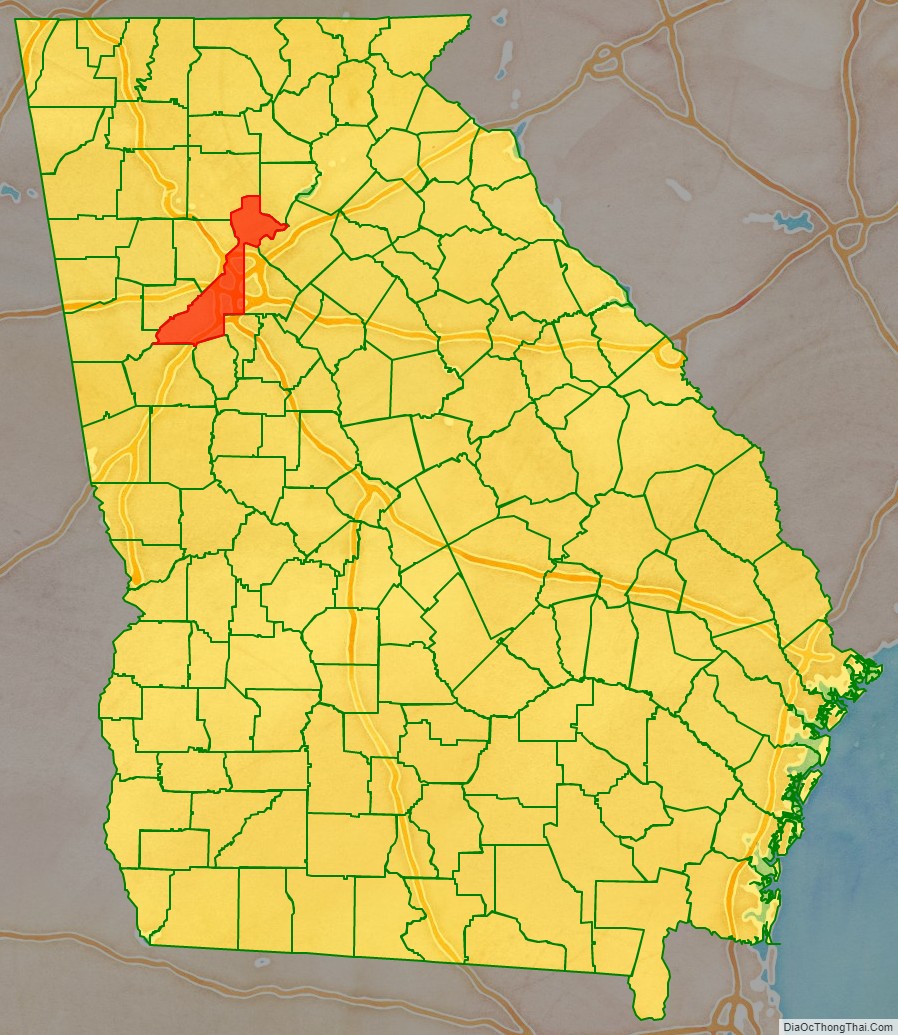
Fulton County location map. Where is Fulton County?
History
Fulton County was created in 1853 from the western half of DeKalb County. It was named in honor of Robert Fulton, the man who created the first commercially successful steamboat in 1807.
After the American Civil War, there was considerable violence against freedmen in the county. During the post-Reconstruction period, violence and the number of lynchings of blacks increased in the late 19th century, as whites exercised terrorism to re-establish and maintain white supremacy. Whites lynched 35 African Americans here from 1877 to 1950; According to the Georgia Lynching Project, 24 were killed in 1906. This was the highest total in the state. With a total of 589, Georgia was second to Mississippi in its total number of lynchings in this period.
In addition to individual lynchings, during the Atlanta Race Riot of 1906, whites killed at least 25 African Americans; the number may have been considerably higher. Two white persons died during the riot; one a woman who died of a heart attack. The violence affected black residential and business development in the city afterward. The Georgia legislature effectively completed disenfranchisement of African Americans in 1908, with constitutional amendments that raised barriers to voter registration and voting, excluding them from the political system.
At the beginning of 1932, as an austerity measure to save money during the Great Depression, Fulton County annexed Milton County to the north and Campbell County to the southwest, to centralize administration. That resulted in the current long shape of the county along 80 miles (130 km) of the Chattahoochee River. On May 9 of that year, neighboring Cobb County ceded the city of Roswell and lands lying east of Willeo Creek to Fulton County so that it would be more contiguous with the lands ceded from Milton County.
In the second half of the 20th century, Atlanta and Fulton county became the location of numerous national and international headquarters for leading companies, attracting highly skilled employees from around the country. This led to the city and county becoming more cosmopolitan and diverse.
In 1992, Fulton County elected the first African-American woman, Jacquelyn Harrison Barrett, to the position of Sheriff in the history of the United States.
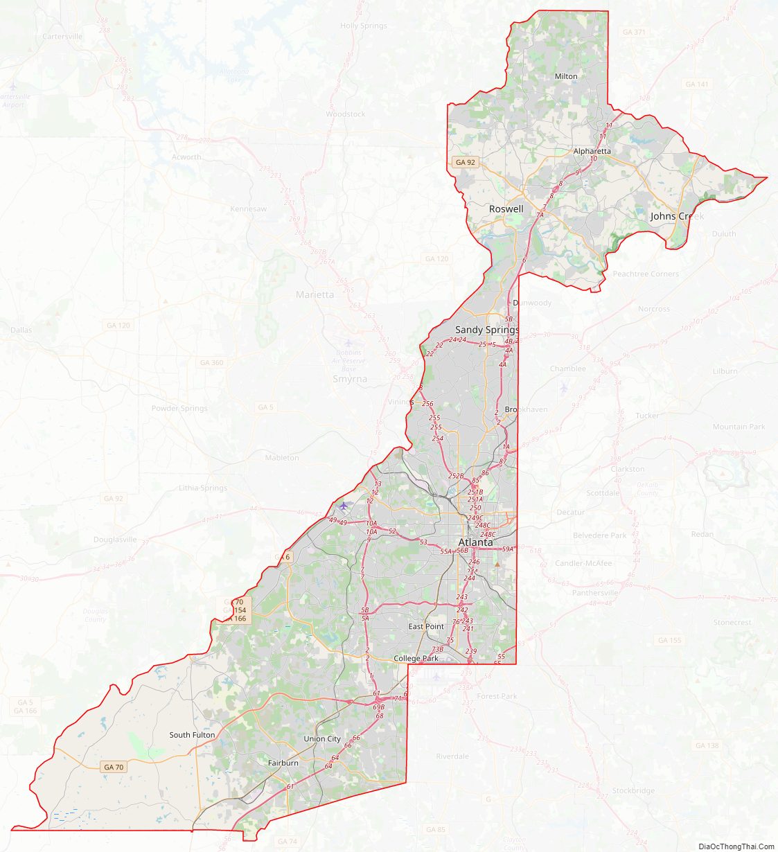
Fulton County Road Map
Geography
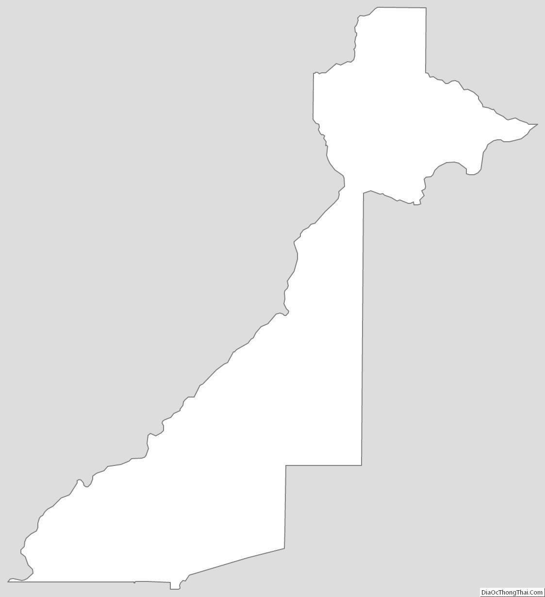
According to the U.S. Census Bureau, the county has a total area of 534 square miles (1,380 km), of which 527 square miles (1,360 km) is land and 7.7 square miles (20 km) (1.4%) is water. The county is located in the Piedmont region of the state in the foothills of the Blue Ridge Mountains to the north. The shape of the county resembles a sword with its handle at the northeastern part, and the tip at the southwestern portion.
Going from north to south, the northernmost portion of Fulton County, encompassing Milton and northern Alpharetta, is located in the Etowah River sub-basin of the ACT River Basin (Alabama-Coosa-Tallapoosa River Basin). The rest of north and central Fulton, to downtown Atlanta, is located in the Upper Chattahoochee River sub-basin of the ACF River Basin (Apalachicola-Chattahoochee-Flint River Basin). The bulk of south Fulton County, from Atlanta to Palmetto, is located in the Middle Chattahoochee River-Lake Harding sub-basin of the larger ACF River Basin, with just the eastern edges of south Fulton, from Palmetto northeast through Union Hill to Hapeville, in the Upper Flint River sub-basin of the same larger ACF River Basin.
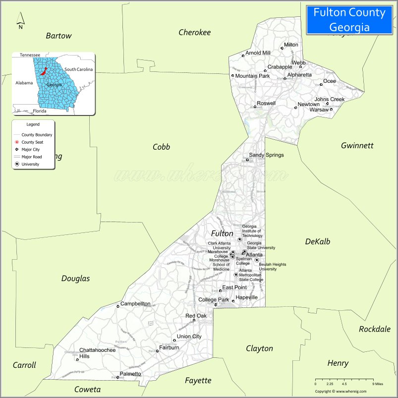
Adjacent counties
- Cherokee County – northwest
- Forsyth County – northeast
- Gwinnett County – east
- DeKalb County – east
- Clayton County – south
- Fayette County – south
- Coweta County – southwest
- Carroll County – west
- Douglas County – west
- Cobb County – west
National protected areas
- Chattahoochee River National Recreation Area (part)
- Martin Luther King, Jr. National Historic Site
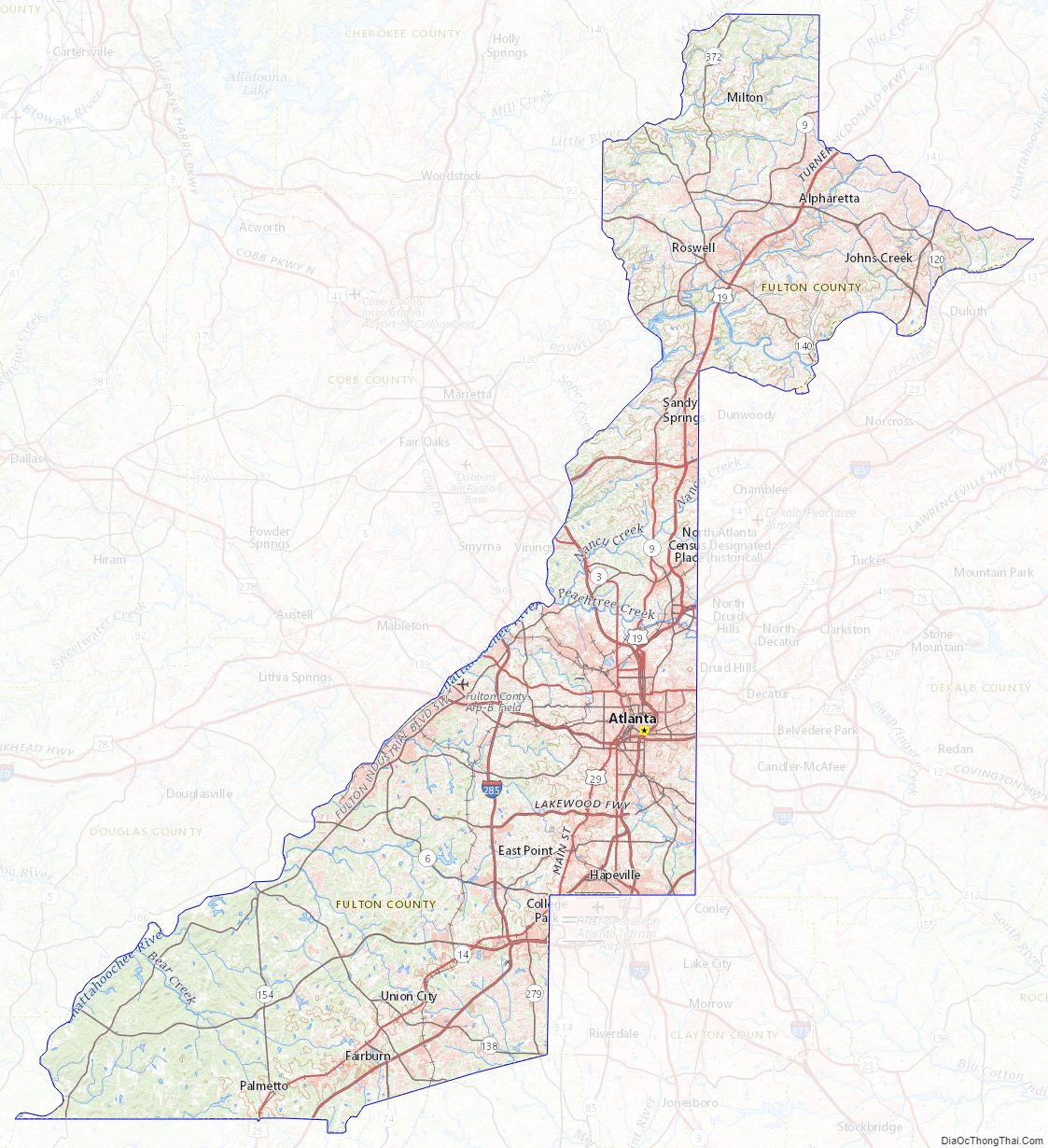
Fulton County Topographic Map
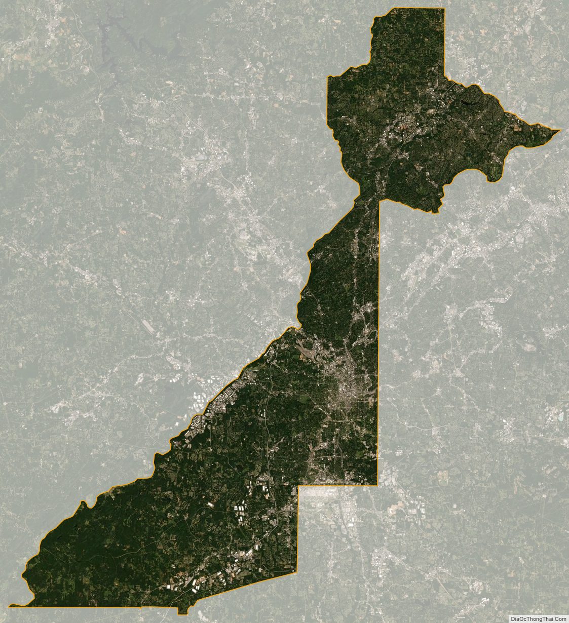
Fulton County Satellite Map
Fulton County Outline Map