Burke County is a county located in the U.S. state of North Carolina. As of the 2020 census, its population was 87,570. Its county seat is Morganton. Burke County is part of the Hickory–Lenoir–Morganton, NC metropolitan statistical area.
| Name: | Burke County |
|---|---|
| FIPS code: | 37-023 |
| State: | North Carolina |
| Founded: | 1777 |
| Named for: | Thomas Burke |
| Seat: | Morganton |
| Largest city: | Morganton |
| Total Area: | 515 sq mi (1,330 km²) |
| Land Area: | 507 sq mi (1,310 km²) |
| Total Population: | 87,611 |
| Population Density: | 172.8/sq mi (66.7/km²) |
| Time zone: | UTC−5 (Eastern) |
| Summer Time Zone (DST): | UTC−4 (EDT) |
| Website: | www.burkenc.org |
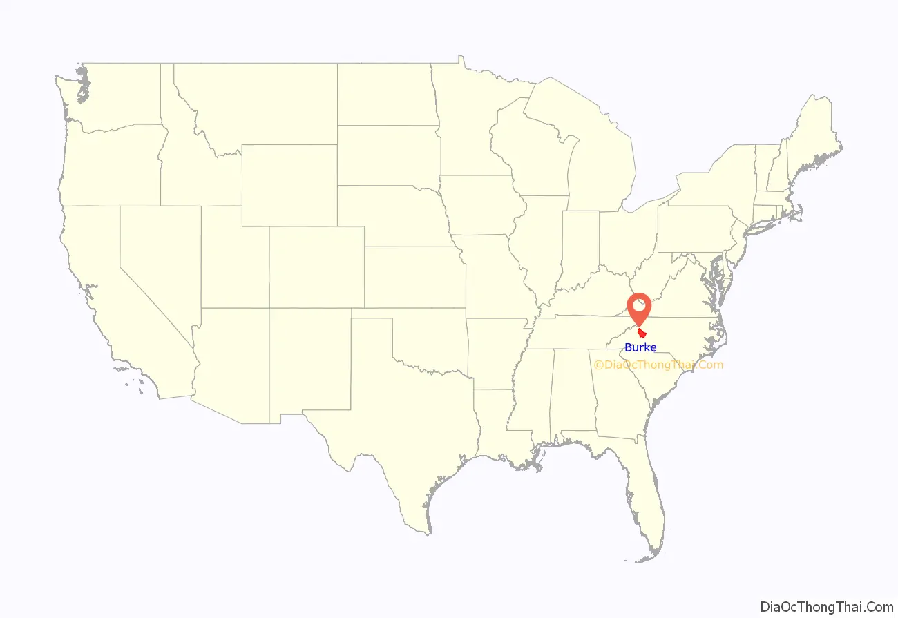
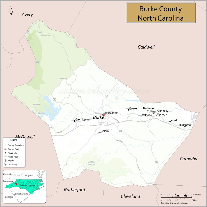
Burke County location map. Where is Burke County?
History
Indigenous peoples inhabited the interior and the coastal areas for thousands of years. Native Americans of the complex and far-flung Mississippian culture inhabited the county long before Europeans arrived in the New World. They were part of a trade network extending from the Gulf Coast to the Great Lakes. They built earthwork mounds, including at Joara, a 12-acre (49,000 m) site and regional chiefdom in North Carolina. (Present-day Morganton developed near this site.) It was the center of the largest Native American settlement in North Carolina, dating from about 1000 AD and expanding into the next centuries.
In 1567, Spanish Juan Pardo’s expedition arrived and built Fort San Juan at Joara, claiming the area for the colony of Spanish Florida. Pardo named the settlement Cuenca, after his home city. They had been sent by the governor at Santa Elena (Parris Island) in South Carolina to find an overland route to the silver mines in central Mexico, believing that the Appalachians were connected to a range there.
Captain Juan Pardo, leader of the expedition, left about 30 soldiers at the fort while continuing his exploration. His expedition built another five forts to the west, in the foothills of the mountains. In the spring of 1568, the Indians attacked Fort San Juan, killing the soldiers and burning the fort. The natives killed all soldiers except one at the garrisons, at five other Spanish forts in the interior.
In 1777, during the American Revolutionary War, Burke County was formed from Rowan County. It was named for Thomas Burke, then serving as a delegate to the Continental Congress (1777 to 1781). He was later elected as governor of North Carolina, serving one term from 1781 to 1782. The western Piedmont was settled by many Scots-Irish and German immigrants in the mid- to late 18th century. They were generally yeoman farmers and fiercely independent.
As population increased, the county was divided to form other jurisdictions. In 1791, parts of Burke County and Rutherford County were combined to form Buncombe County. In 1833, parts of Burke and Buncombe Counties were combined to form Yancey County. In 1841, parts of Burke and Wilkes Counties were combined to form Caldwell County. In 1842, additional parts of Burke and Rutherford Counties were combined to form McDowell County. Finally, in 1861, parts of Burke, Caldwell, McDowell, Watauga, and Yancey Counties were combined to form Mitchell County.
The Burke County Regiment participated in the Battle of Kings Mountain, which pitted Appalachian frontiersmen against the Loyalist forces of British commander Ferguson at Kings Mountain, SC, in the American Revolution. Rather than waiting for Ferguson to invade their territory, militiamen throughout the Blue Ridge who crossed over the mountains to meet the enemy were known as the Over Mountain Men.
A record of the 1567 Spanish expedition was not discovered and translated into English until the late 20th century. In the 1990s, excavation was started at a site believed to be Joara, continuing into the 21st century. In 2013, archeologists announced that they had found remains of Fort San Juan at Joara, confirming early accounts. This has changed knowledge and interpretation of early European encounters and colonization efforts in what would become the United States, as Spanish efforts preceded the successful efforts of England in Jamestown, Virginia, by 40 years.
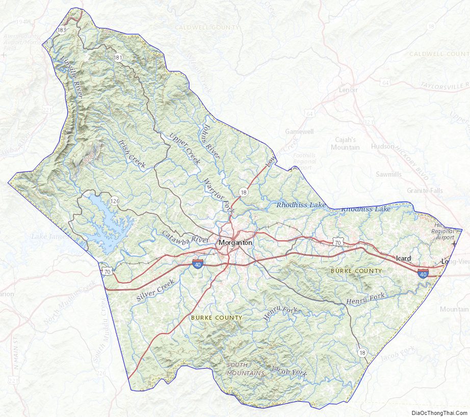
Burke County Road Map

Geography
According to the U.S. Census Bureau, the county has a total area of 515 square miles (1,330 km), of which 8.0 square miles (21 km) (1.5%) are covered by water. The county contains portions of two lakes: Lake James along its western border with McDowell County and Lake Rhodhiss along its northeastern border with Caldwell County.
Table Rock, a prominent peak in the county in the east rim of Linville Gorge, part of Pisgah National Forest, has been described as “the most visible symbol in the region”.
In the southern part of the county, the South Mountains State Park covers almost 21,000 acres and features waterfalls and hiking trails.
National protected areas
- Blue Ridge Parkway (part)
- Linville Gorge Wilderness (part)
- Pisgah National Forest (part)
State and local protected areas
- Lake James State Park (part)
- South Mountains Game Lands (part)
- South Mountains State Park
Major water bodies
- Canoe Creek
- Catawba River
- Dales Creek
- Drowning Creek
- Hall Creek
- Henry Fork (South Fork Catawba River tributary)
- Irish Creek
- Jacob Fork (South Fork Catawba River tributary)
- Lake James
- Linville River
- Little River
- Old Catawba River
- Pearcey Creek
- Rhodhiss Lake
- Rock Creek
- Roses Creek
- Silver Creek
- Upper Creek
Adjacent counties
- Avery County – northwest
- Caldwell County – north
- Catawba County – east
- Cleveland County – south
- Rutherford County – south
- McDowell County – west
Major highways
- I-40
- US 64
- US 64 Bus.
- US 70
- US 70 Bus.
- US 221
- US 321
- NC 18
- NC 114
- NC 126
- NC 181
- NC 183
Major infrastructure
- Foothills Regional Airport (partially in Caldwell County)
- Hickory Regional Airport (partially in Catawba County)
Burke County Topographic Map
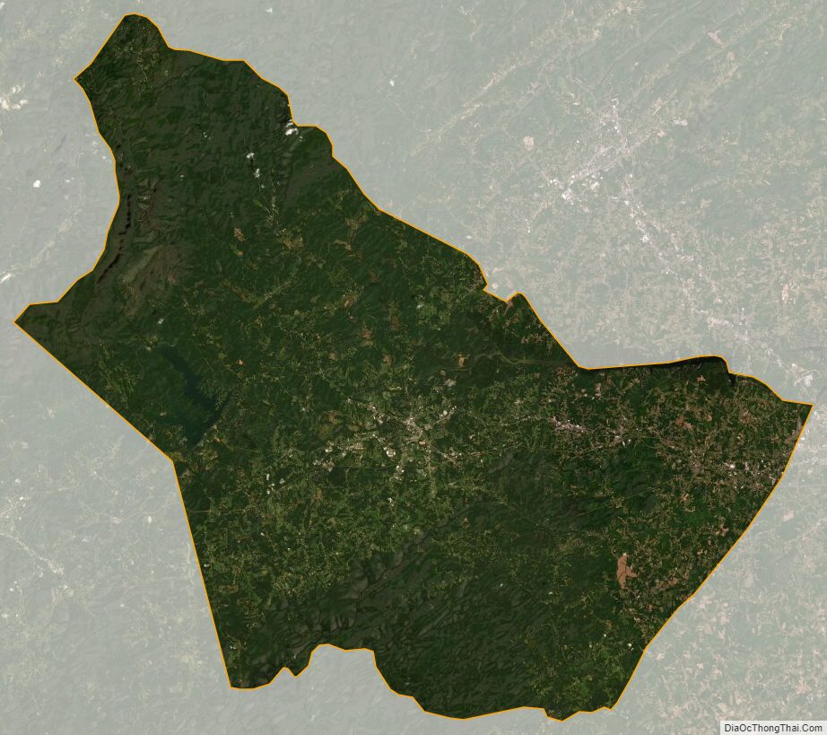
Burke County Satellite Map
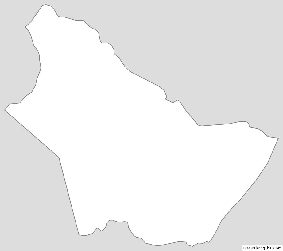
Burke County Outline Map