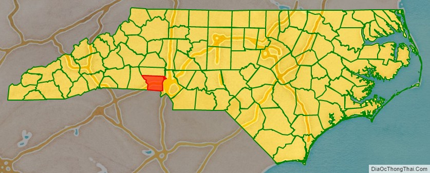
Gaston County is a county in the U.S. state of North Carolina. As of the 2020 census, the population was 227,943. The county seat is Gastonia. Dallas served as the original county seat from 1846 until 1911.
Gaston County is included in the Charlotte-Concord-Gastonia, NC-SC Metropolitan Statistical Area. It is the fourth largest county in the metropolitan area, behind Mecklenburg County, York County and Union County as of the 2018 US Census estimates. It is located in the southern Piedmont region.
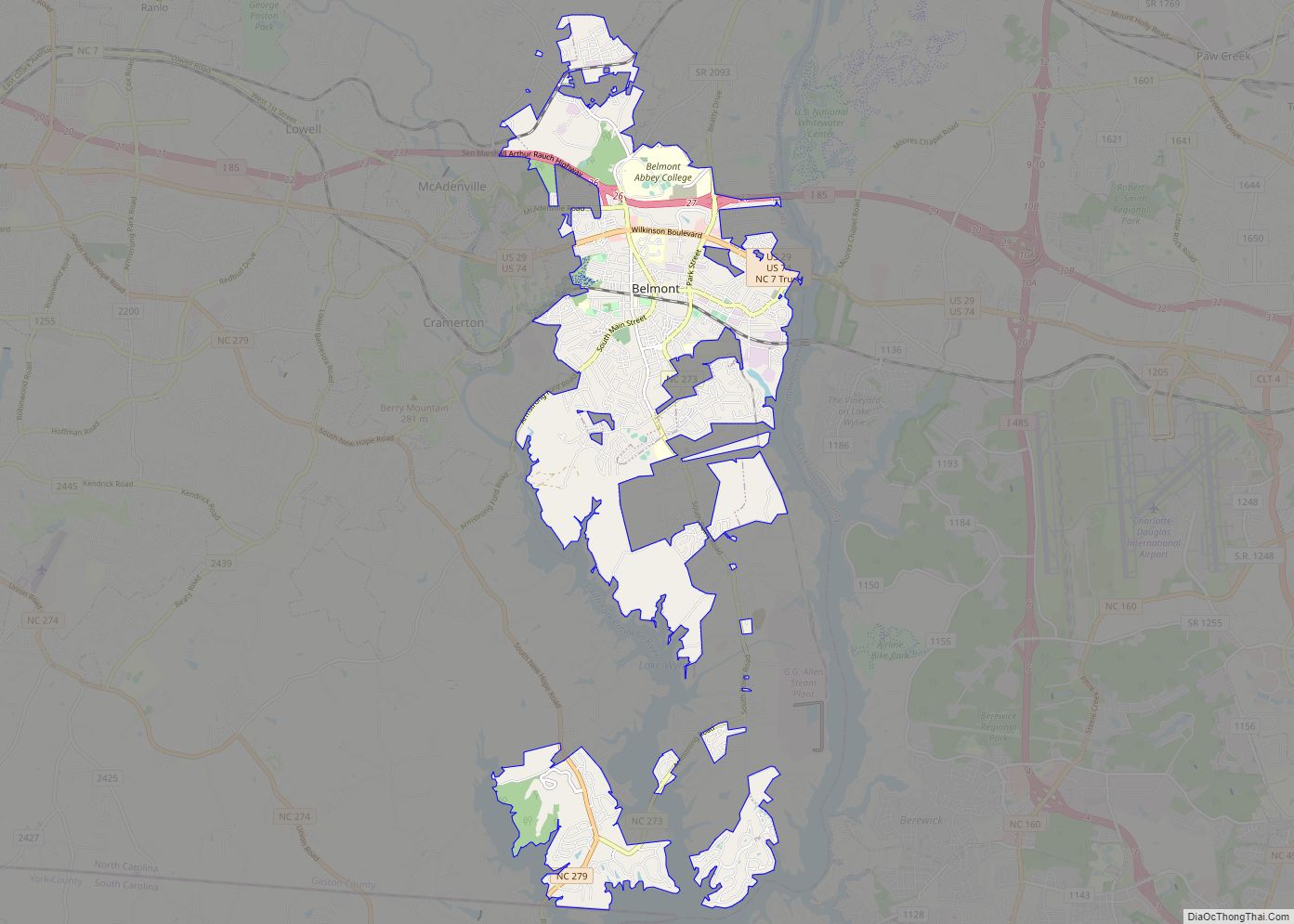
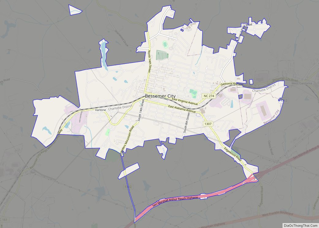
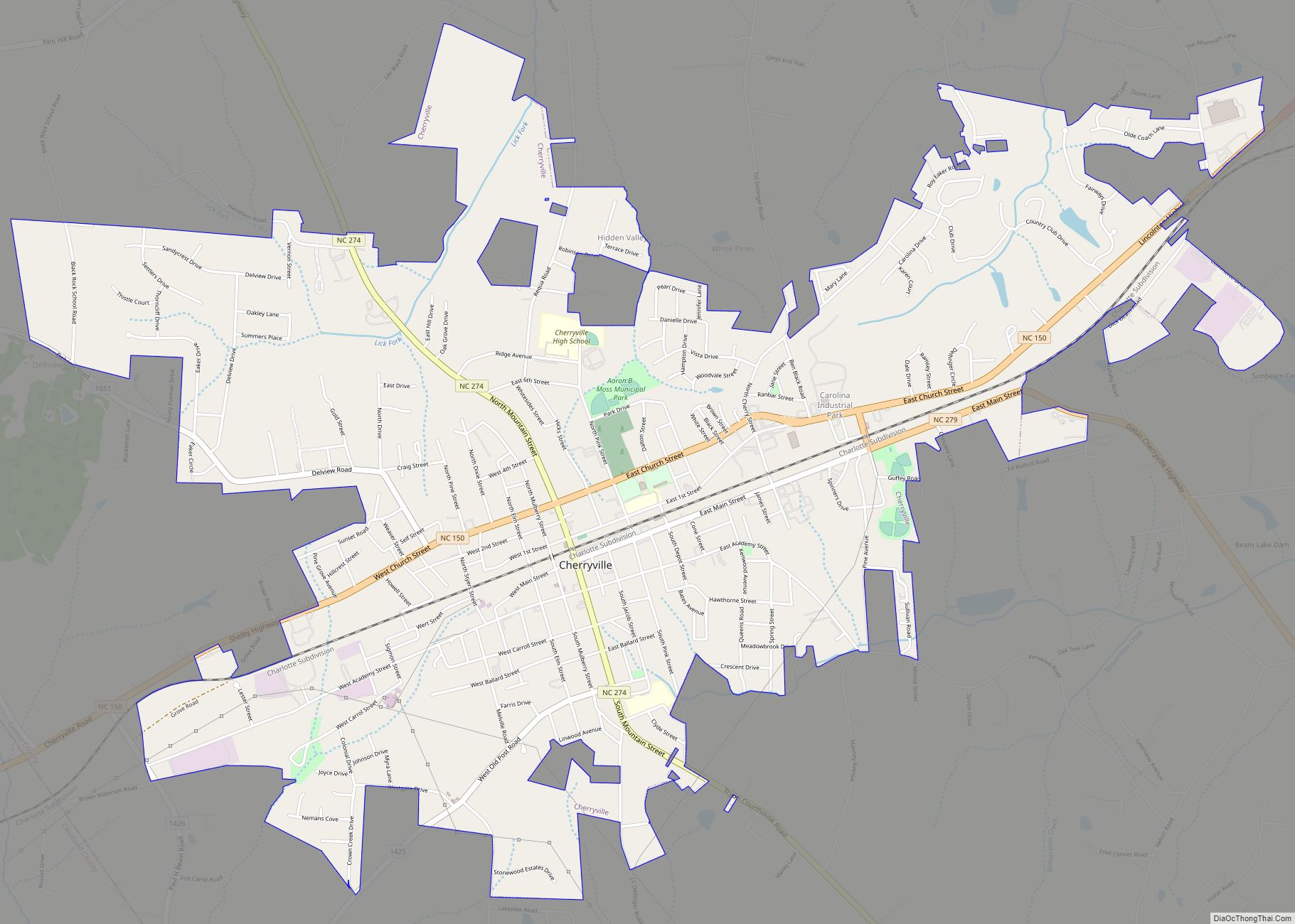
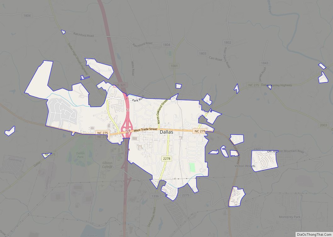
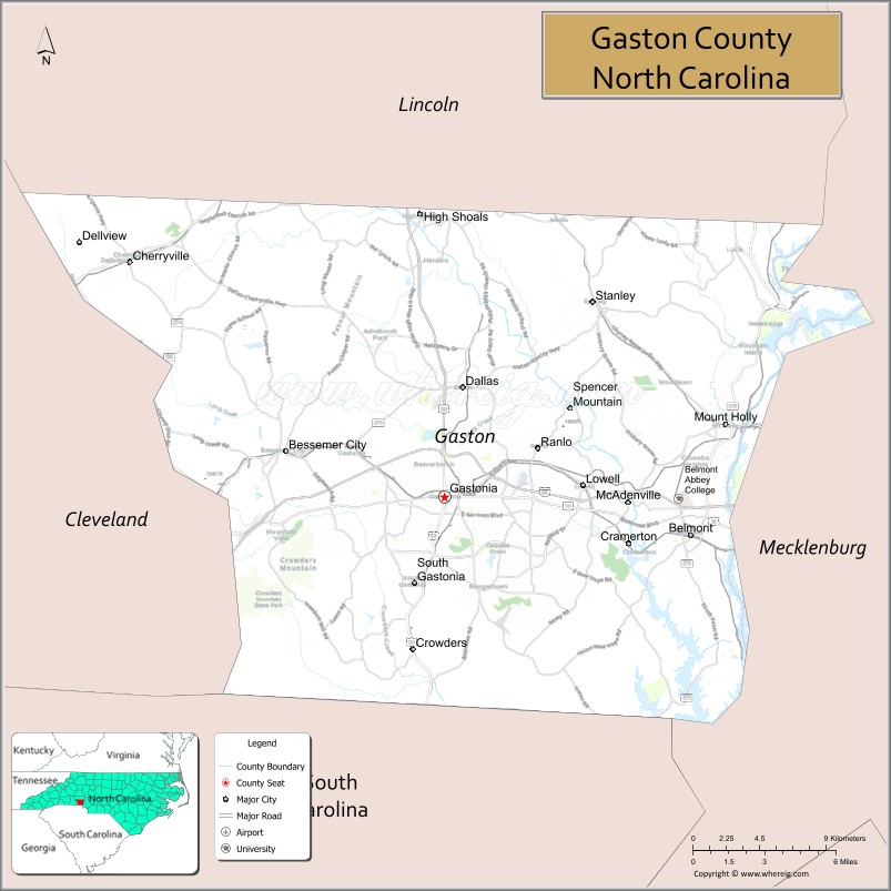
Of North Carolina’s 100 counties, Gaston County ranks 74th in size, consisting of approximately 364.5 square miles (944 km), and is tenth in population. The county has fifteen incorporated towns. In addition to fifteen incorporated towns and cities, there are several unincorporated communities such as Hardin, Lucia, Crowders Mountain, Sunnyside, Alexis, Tryon, and North Belmont.
| Name: | Gaston County |
|---|---|
| FIPS code: | 37-071 |
| State: | North Carolina |
| Founded: | 1846 |
| Named for: | William Gaston |
| Seat: | Gastonia |
| Largest city: | Gastonia |
| Total Area: | 364 sq mi (940 km²) |
| Land Area: | 356 sq mi (920 km²) |
| Total Population: | 227,943 |
| Population Density: | 630/sq mi (240/km²) |
| Time zone: | UTC−5 (Eastern) |
| Summer Time Zone (DST): | UTC−4 (EDT) |
| Website: | www.gastongov.com |
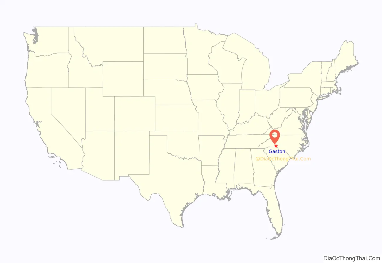
Gaston County location map. Where is Gaston County?
History
The earliest European settlers of Gaston County were principally Scots Irish, Pennsylvania Dutch, and English. In the 1750s, Dutch settler James Kuykendall with Robert Leeper, and others constructed a Fort at the Point at the junction of the Catawba and South Fork Rivers. The fort was built because of ongoing hostilities with the Cherokee, but it was apparently never attacked. Tensions between the settlers and the Native American inhabitants (primarily of the Catawba tribe) were eased considerably when the boundary dispute between North Carolina and South Carolina was settled in 1772, after which most of the Catawba settled on a reservation near Fort Mill, South Carolina.
Most early farms in the area were small, cultivated primarily by white yeoman farmers of English ancestry. North Carolina’s colonial policy restricted the size of land grants, and in Gaston County they tended to be about 400 acres (1.6 km) each. One of the earliest grants in the area was given to Captain Samuel Cobrin, commander of a local militia company, on September 29, 1750.
Gaston County was founded in 1846, partitioned from Lincoln County. It is named for William Gaston, a U.S. Representative from North Carolina and member of the state supreme court.
Between 1845 and 1848, Gaston County experienced an industrial boom. During this three-year period, the first three cotton mills in the county were established. Some sources claim that the first one was established by Thomas R. Tate on Mountain Island, near the present site of Duke Energy’s Mountain Island Dam and Hydroelectric Station. Other sources say that the first mill was established by the Linebergers and others on the South Fork River near McAdenville. Most sources agree that among the first three mills in operation in the county was the Stowesville Mill, founded by Jasper Stowe and associates in the South Point Community south of Belmont. Gaston County still leads all other counties in the country both in the number of spindles in operation and in the number of bales of cotton consumed.
The county seat moved from Dallas to Gastonia in 1911.
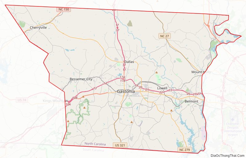
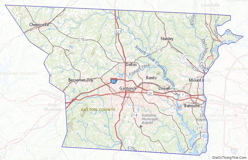
Gaston County Road Map
Geography
According to the U.S. Census Bureau, the county has a total area of 364 square miles (940 km), of which 356 square miles (920 km) is land and 8.1 square miles (21 km) (2.2%) is water. It belongs to the southern Piedmont physiographic province.
Most of Gaston County is in the drainage basin of the Catawba River, except for small areas along the western edge of the county which are in the basin of the Broad River. Both the Catawba and Broad Rivers are in the greater Santee River basin. The Catawba forms the eastern border of the county and much of the central part of the county is in the drainage basin of its right tributary, the South Fork Catawba River. The county is located in the Piedmont region of central North Carolina, which consists of gently rolling terrain frequently broken by hills, river and creek valleys, and low, isolated mountain ridges. The highest point in Gaston County is King’s Pinnacle, a rocky monadnock which sharply rises over 800 feet (240 m) above the city of Gastonia. King’s Pinnacle rises 1,690 feet (520 m) above sea level, and is part of Crowders Mountain State Park.
State and local protected areas/sites
- Crowders Mountain State Park
- Mountain Island Educational State Forest (part)
- Seven Oaks Preserve Trail
Major water bodies
- Beaverdam Creek
- Catawba Creek
- Catawba River
- Crowders Creek
- Little Beaverdam Creek
- Mountain Island Lake
- Rankin Lake
- South Crowders Creek
- South Fork Catawba River
- South Stanly Creek
- Stanly Creek
Adjacent counties
- Lincoln County – north
- Mecklenburg County – east
- York County, South Carolina – south
- Cleveland County – west
Gaston County Topographic Map
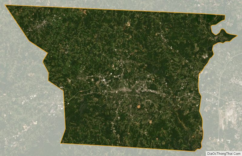
Gaston County Satellite Map
Gaston County Outline Map