Cherokee County is a county in the U.S. state of South Carolina. As of the 2020 census, the population was 56,216. The county seat is Gaffney. The county was formed in 1897 from parts of York, Union, and Spartanburg Counties. It was named for the Cherokee people who historically occupied this area prior to European encounter.
Cherokee County comprises the Gaffney, SC Micropolitan Statistical Area, which is also included in the Greenville-Spartanburg-Anderson, SC Combined Statistical Area.
| Name: | Cherokee County |
|---|---|
| FIPS code: | 45-021 |
| State: | South Carolina |
| Founded: | 1897 |
| Named for: | Cherokee Indians |
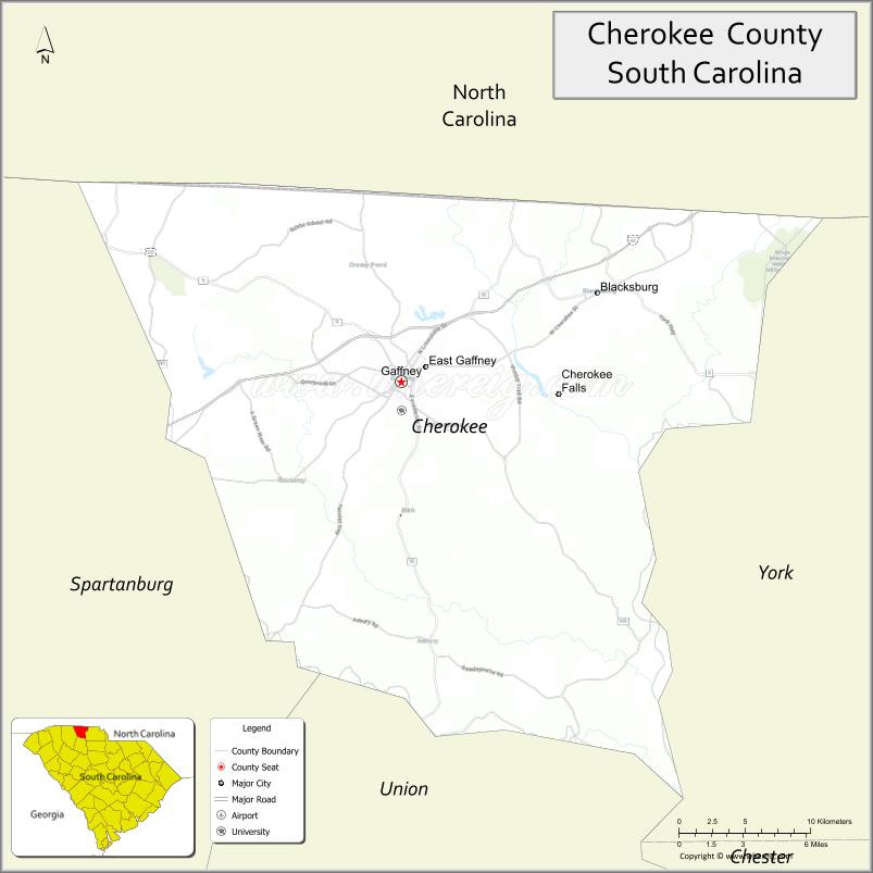
| Seat: | Gaffney |
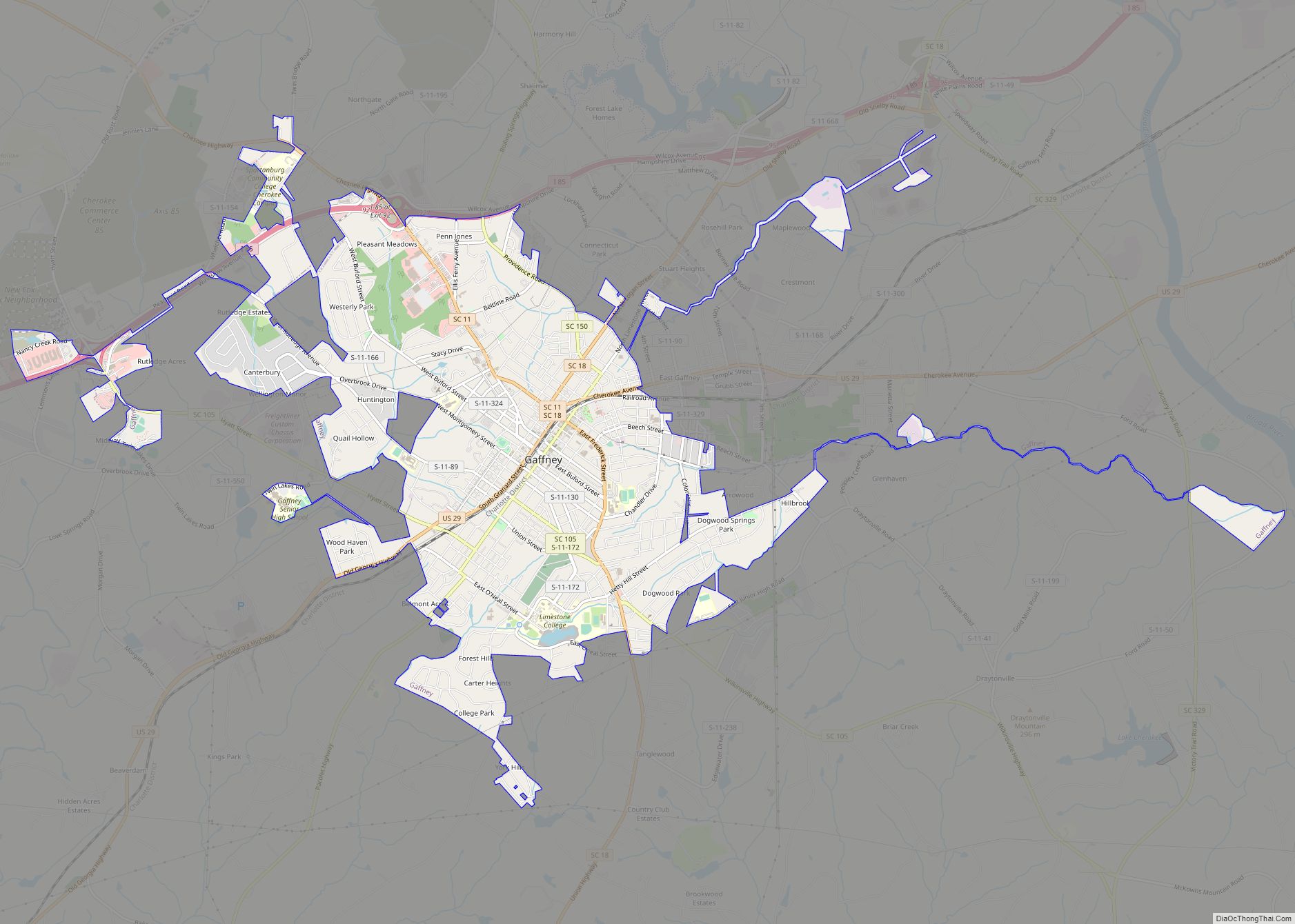
| Largest city: | Gaffney |
| Total Area: | 397 sq mi (1,030 km²) |
| Land Area: | 393 sq mi (1,020 km²) |
| Total Population: | 56,052 |
| Population Density: | 142.6/sq mi (55.1/km²) |
| Time zone: | UTC−5 (Eastern) |
| Summer Time Zone (DST): | UTC−4 (EDT) |
| Website: | www.cherokeecountysc.com |
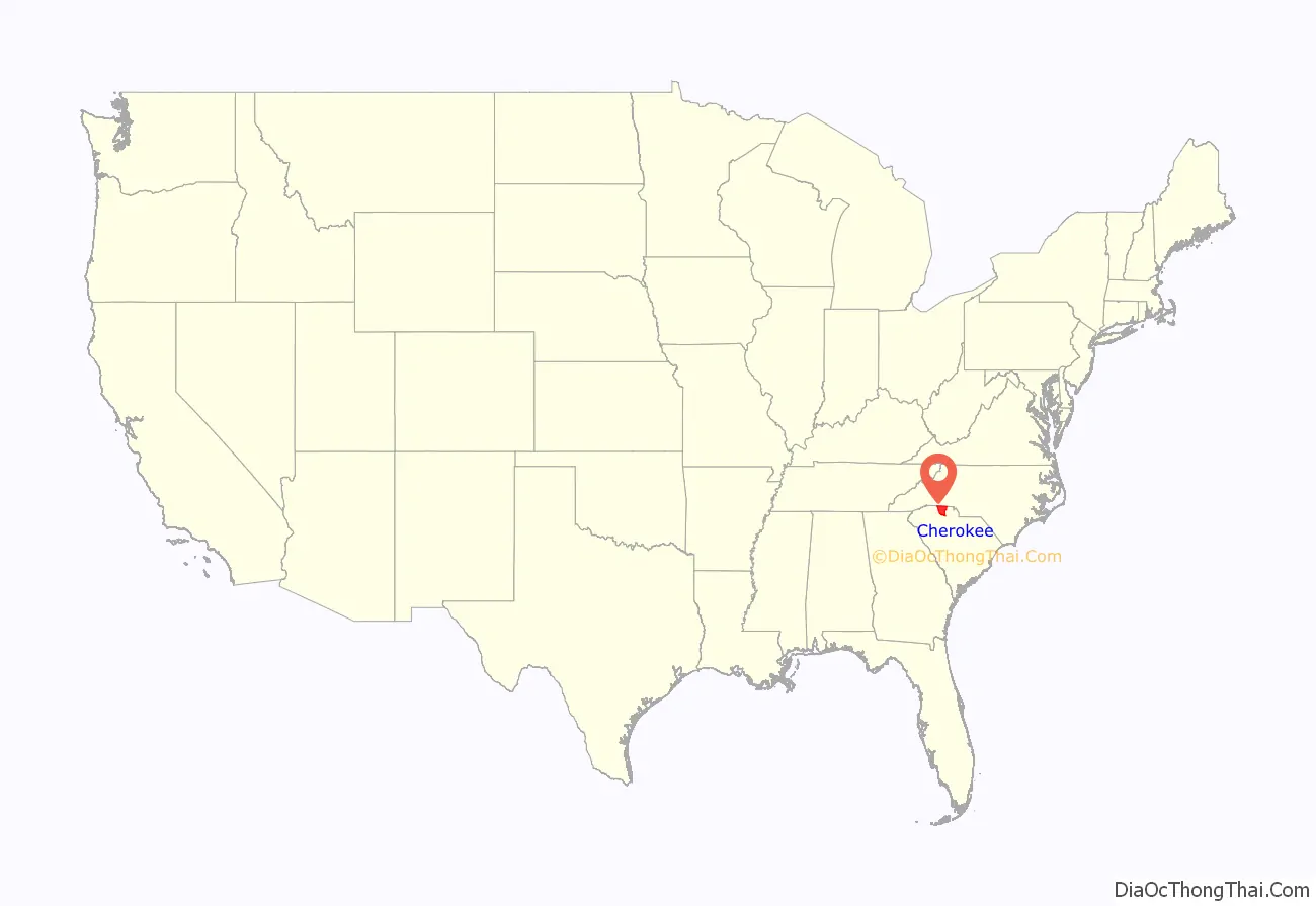
Cherokee County location map. Where is Cherokee County?
History
This area was occupied for thousands of years by indigenous peoples and by the historic Cherokee people before the arrival of Europeans.
When European traders and settlers entered the area, they used the existing Native American paths: called collectively the Trading Path. The Upper Road and Lower Cherokee Traders Path were paths that passed through the piedmont. The former connected to Fredericksburg, Virginia, leading from the Virginia Tidewater, into the Piedmont, and continue down further South.
The Lower Cherokee Traders Path especially connected areas in present-day western North Carolina, upstate South Carolina and northeastern Georgia. In the mid-18th century, waves of British migrants and immigrants, an estimated 250,000 people, traveled by these paths into Cherokee and neighboring counties in the piedmont. This backcountry area was initially settled especially by immigrant Ulster Scots people, along with Germans and Anglo-Americans migrating into the area. Up until the mid-19th century, plantations were developed in the county. Enslaved African-Americans, for their labor, and as “property,” were the basis of the county’s economy until the end of the Civil War.
During the American Revolutionary War, the Battle of Cowpens was fought on January 17, 1781, in northwestern Cherokee County, north of the town of Cowpens, South Carolina, an engagement in the American Revolution’s southern theatre resulting in a Patriot victory.
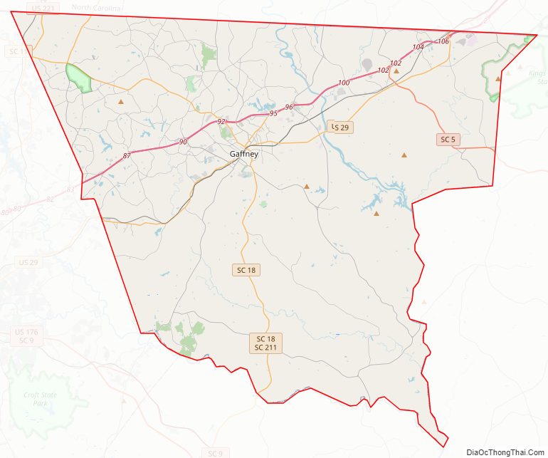
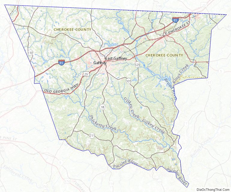
Cherokee County Road Map
Geography
According to the U.S. Census Bureau, the county has a total area of 397 square miles (1,030 km), of which 393 square miles (1,020 km) is land and 4.5 square miles (12 km) (1.1%) is water. It is the third-smallest county in South Carolina by land area and fourth-smallest by total area.
Mountain peaks
- Draytonville Mountain
- Brown’s Mountain
- Thicketty Mountain
- Whitaker Mountain
Draytonville Mountain is known to locals as McKown’s Mountain, named for a farmer who owned much of the land in that area.
Major water bodies
- Broad River
- McKowns Creek
- Pacolet River
National protected areas
- Cowpens National Battlefield
- Kings Mountain National Military Park (part)
- Overmountain Victory National Historic Trail (part)
State and local protected areas/sites
- Magness-Humphries House
- Peachoid
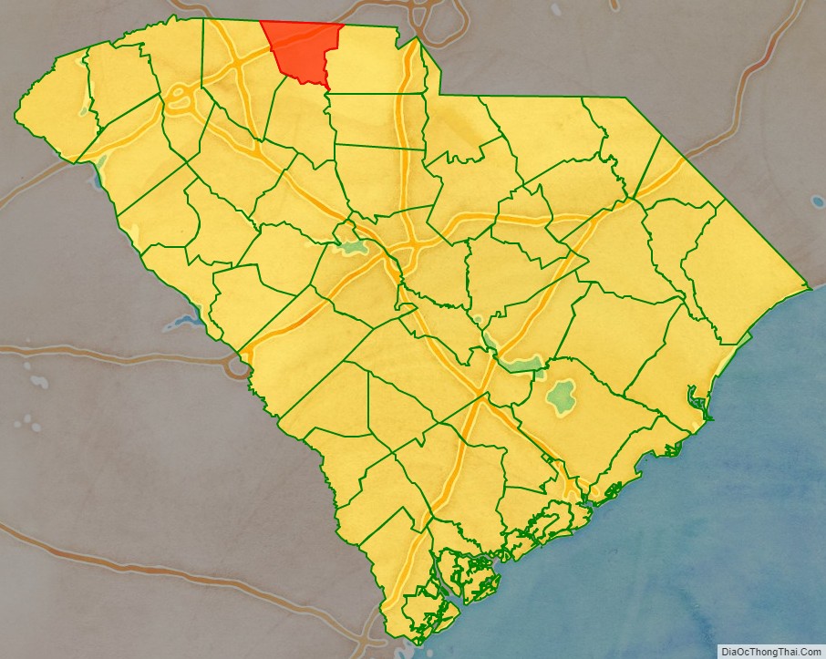
Adjacent counties
- Cleveland County, North Carolina – north
- York County – east
- Union County – south
- Spartanburg County – west
- Rutherford County, North Carolina – northwest
Cherokee County Topographic Map
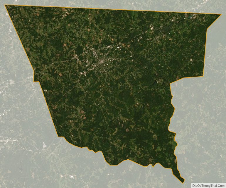
Cherokee County Satellite Map
Cherokee County Outline Map