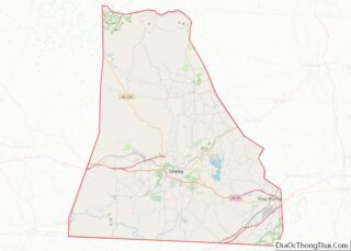
Boiling Springs is a town in Cleveland County, North Carolina, United States and is located in the westernmost part of the Charlotte metropolitan area, located approximately 50 miles away from the city. As of the 2010 census, the town’s population was 4,647. It is home to Gardner–Webb University. The town is named after the natural spring found on the university’s property, which feeds a small lake.
| Name: | Boiling Springs town |
|---|---|
| LSAD Code: | 43 |
| LSAD Description: | town (suffix) |
| State: | North Carolina |
| County: | Cleveland County |
| Elevation: | 912 ft (278 m) |
| Total Area: | 4.48 sq mi (11.60 km²) |
| Land Area: | 4.48 sq mi (11.60 km²) |
| Water Area: | 0.00 sq mi (0.00 km²) |
| Total Population: | 4,615 |
| Population Density: | 1,029.90/sq mi (397.69/km²) |
| ZIP code: | 28017 |
| Area code: | 704 |
| FIPS code: | 3706800 |
| GNISfeature ID: | 0981688 |
| Website: | boilingspringsnc.net |
Online Interactive Map
Click on ![]() to view map in "full screen" mode.
to view map in "full screen" mode.
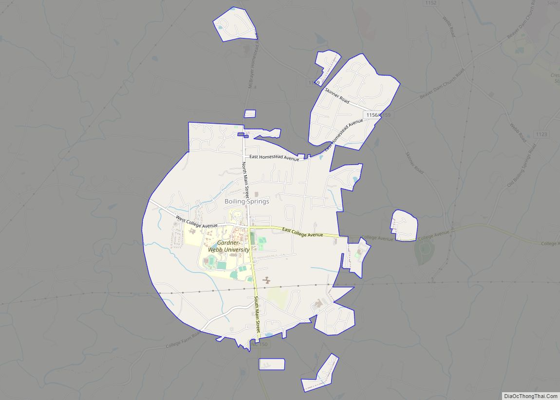
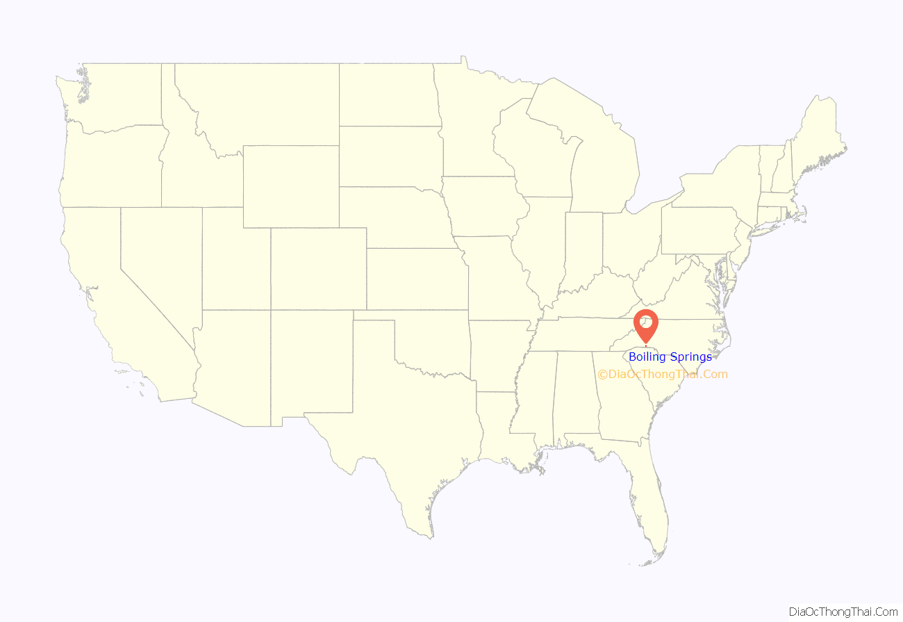
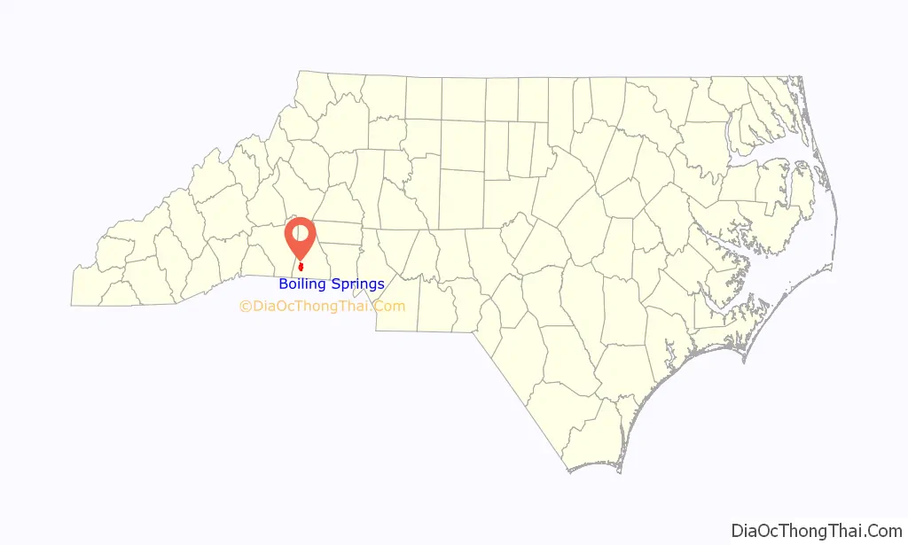
Boiling Springs location map. Where is Boiling Springs town?
History
People began settling the area around the namesake boiling springs in 1843. The first families to settle were the Hamricks, the Greenes and the McSwains. It was only appropriate that the settlement be named Boiling Springs. One of the first buildings was Boiling Springs Baptist Church, built in 1847 about 100 yards from the springs. Boiling Springs was known as a sleepy community, with no railroads, no industries, few stores and no paved streets. At the turn of the 20th century Kings Mountain Baptist and Sandy Run Associations began looking for a place to build their denominational high school and chose Boiling Springs because it was geographically situated between the two associations and because the Boiling Springs community made concerted efforts to attract the school. The Boiling Springs High School boarding institution opened for business in 1905. School authorities felt that neither intoxicating drinks nor cigarettes should be sold near the school, so in 1911 the town was incorporated in order to ban the sale of such items. Town limits were decided by drawing a mile and a half radius from the school’s original bell tower.
Incorporation of the town proved to be a major step forward because it provided a government that could function and enable the town not only to grow but to furnish water, police and fire protection, paved streets and garbage collection for the town and the school. As time progressed the growth of the town was largely tied to the growth of the Boiling Springs High School which became the Boiling Springs Junior College in 1928, Gardner Webb Junior College in 1942, and finally after achieving status as a senior college and developing several graduate programs, Gardner–Webb University in 1993.
Voters approved ordinances to allow for the sale of beer, unfortified wine, and malt beverages within town limits in 2018.
E. B. Hamrick Hall and the Irvin-Hamrick Log House are listed on the National Register of Historic Places.
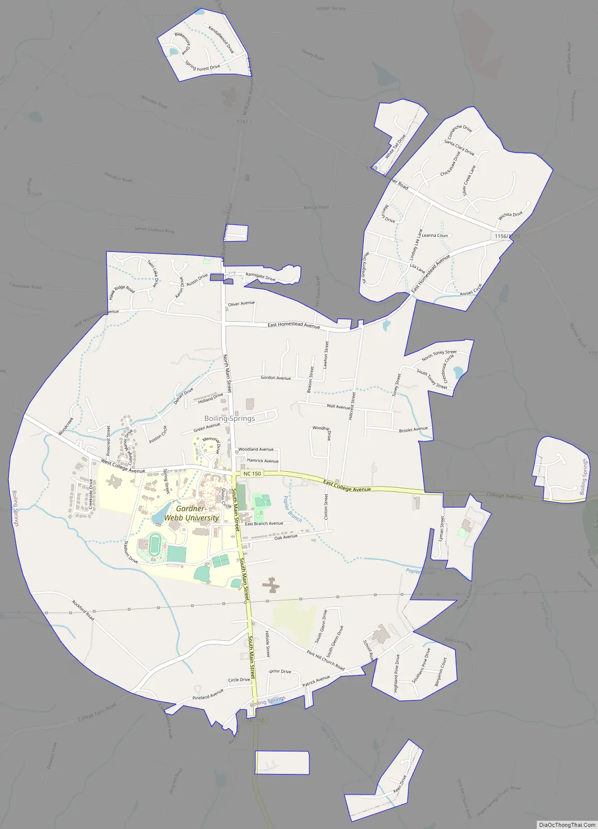
Boiling Springs Road Map
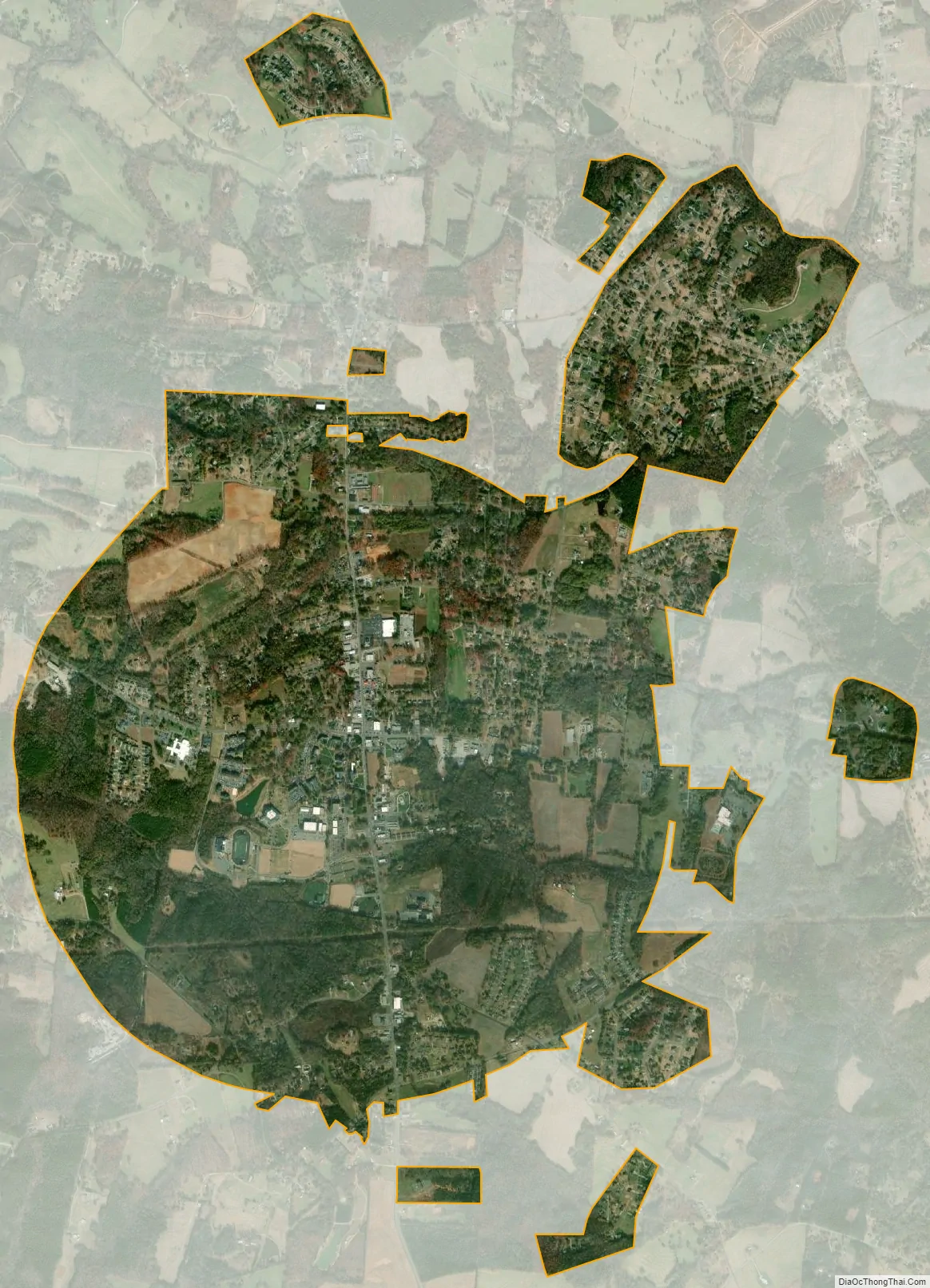
Boiling Springs city Satellite Map
Geography
Boiling Springs is located in southwestern Cleveland County at 35°15′6″N 81°39′51″W / 35.25167°N 81.66417°W / 35.25167; -81.66417 (35.251752, -81.664288). North Carolina Highway 150 passes through the town, leading east 9 miles (14 km) to Shelby, the county seat, and south 13 miles (21 km) to Gaffney, South Carolina. The South Carolina border is less than 6 miles (10 km) south of the town. Mooresboro is 4 miles (6 km) north. Charlotte, approximately 50 miles (80 km) east, is the closest major city.
According to the United States Census Bureau, the town has a total area of 4.4 square miles (11.5 km), all land. The Broad River runs 3 miles (5 km) south of the town, and is the location of the Broad River Greenway, providing recreational facilities, activities and trails.
See also
Map of North Carolina State and its subdivision:- Alamance
- Alexander
- Alleghany
- Anson
- Ashe
- Avery
- Beaufort
- Bertie
- Bladen
- Brunswick
- Buncombe
- Burke
- Cabarrus
- Caldwell
- Camden
- Carteret
- Caswell
- Catawba
- Chatham
- Cherokee
- Chowan
- Clay
- Cleveland
- Columbus
- Craven
- Cumberland
- Currituck
- Dare
- Davidson
- Davie
- Duplin
- Durham
- Edgecombe
- Forsyth
- Franklin
- Gaston
- Gates
- Graham
- Granville
- Greene
- Guilford
- Halifax
- Harnett
- Haywood
- Henderson
- Hertford
- Hoke
- Hyde
- Iredell
- Jackson
- Johnston
- Jones
- Lee
- Lenoir
- Lincoln
- Macon
- Madison
- Martin
- McDowell
- Mecklenburg
- Mitchell
- Montgomery
- Moore
- Nash
- New Hanover
- Northampton
- Onslow
- Orange
- Pamlico
- Pasquotank
- Pender
- Perquimans
- Person
- Pitt
- Polk
- Randolph
- Richmond
- Robeson
- Rockingham
- Rowan
- Rutherford
- Sampson
- Scotland
- Stanly
- Stokes
- Surry
- Swain
- Transylvania
- Tyrrell
- Union
- Vance
- Wake
- Warren
- Washington
- Watauga
- Wayne
- Wilkes
- Wilson
- Yadkin
- Yancey
- Alabama
- Alaska
- Arizona
- Arkansas
- California
- Colorado
- Connecticut
- Delaware
- District of Columbia
- Florida
- Georgia
- Hawaii
- Idaho
- Illinois
- Indiana
- Iowa
- Kansas
- Kentucky
- Louisiana
- Maine
- Maryland
- Massachusetts
- Michigan
- Minnesota
- Mississippi
- Missouri
- Montana
- Nebraska
- Nevada
- New Hampshire
- New Jersey
- New Mexico
- New York
- North Carolina
- North Dakota
- Ohio
- Oklahoma
- Oregon
- Pennsylvania
- Rhode Island
- South Carolina
- South Dakota
- Tennessee
- Texas
- Utah
- Vermont
- Virginia
- Washington
- West Virginia
- Wisconsin
- Wyoming