Shelby is a city in and the county seat of Cleveland County, North Carolina, United States. It lies near the western edge of the Charlotte combined statistical area. The population was 21,918 at the 2020 census.
| Name: | Shelby city |
|---|---|
| LSAD Code: | 25 |
| LSAD Description: | city (suffix) |
| State: | North Carolina |
| County: | Cleveland County |
| Elevation: | 869 ft (265 m) |
| Total Area: | 22.39 sq mi (57.98 km²) |
| Land Area: | 22.35 sq mi (57.90 km²) |
| Water Area: | 0.03 sq mi (0.09 km²) |
| Total Population: | 21,918 |
| Population Density: | 980.50/sq mi (378.57/km²) |
| ZIP code: | 28150-28152 |
| Area code: | 704, 980 |
| FIPS code: | 3761200 |
| GNISfeature ID: | 0994631 |
| Website: | cityofshelby.com |
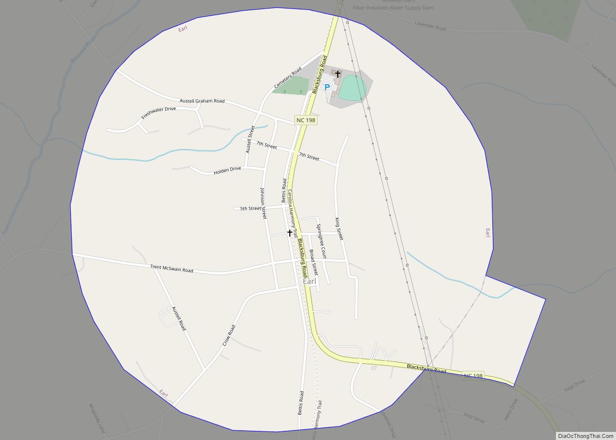
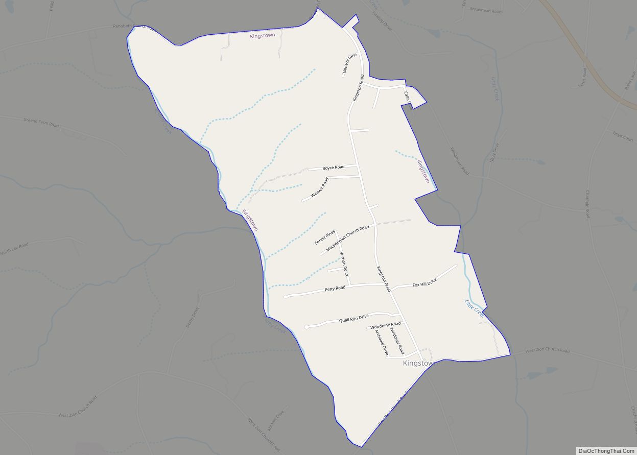
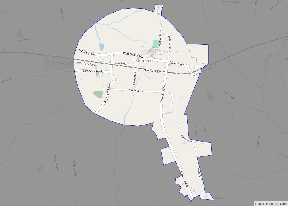
Online Interactive Map
Click on ![]() to view map in "full screen" mode.
to view map in "full screen" mode.
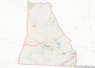
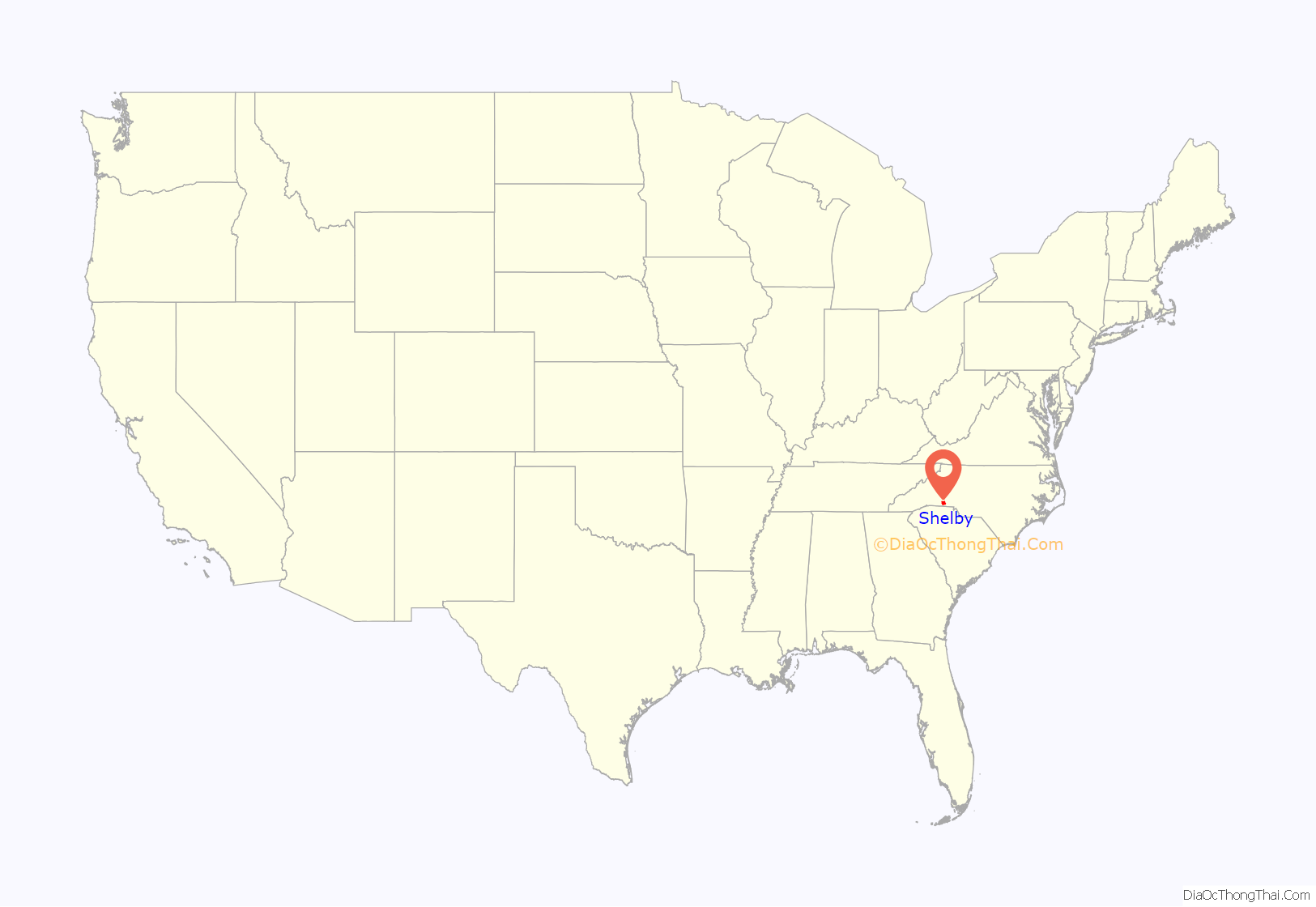
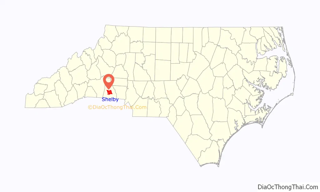
Shelby location map. Where is Shelby city?
History
The area was originally inhabited by Catawba and Cherokee peoples and was later settled between around 1760. The city was chartered in 1843 and named after Colonel Isaac Shelby, a hero of the battle of Kings Mountain (1780) during the American Revolution. Shelby was agricultural until the railways in the 1870s stimulated Shelby’s development. Textiles later became its chief industry during the 1920s when production of cotton in Cleveland County rose from 8,000 to 80,000 bales a year. Cotton production peaked in 1948 with Cleveland County producing 83,549 bales, making it North Carolina’s premier cotton county. In the 1930s, Shelby was known as “the leading shopping center between Charlotte and Asheville” People from surrounding counties came to Shelby to shop, since there were numerous types of local and chain stores. By 1947, Shelby was a true thriving town with the mills paying among the highest wages in the South. In the 1950s, droughts, insect infestations, and government acreage controls resulted in the decline of cotton as Cleveland County’s primary crop.
The architecture of Shelby is noteworthy in that despite being in a rural area, there are magnificent homes and buildings with unique character. Some buildings are county landmarks, such as the Historic Campbell Building and others are listed on the National Register of Historic Places: Banker’s House, Joshua Beam House, Central Shelby Historic District, Cleveland County Courthouse, East Marion-Belvedere Park Historic District, James Heyward Hull House, Masonic Temple Building, Dr. Victor McBrayer House, George Sperling House and Outbuildings, Joseph Suttle House, Webbley, and West Warren Street Historic District.
Shelby was home to a group of political leaders in the first half of the 20th century that have become known as the “Shelby Dynasty.” These men wielded power through the local, State and Federal governments. The most notable men of Shelby’s political leadership were brothers James L. Webb and Edwin Yates Webb and brothers-in-law O. Max Gardner and Clyde R. Hoey. As governors, NC representatives, and US congressman, the group impacted Shelby life and Shelby’s reputation throughout the state.
In 1916, Thomas Dixon, Jr., the author of The Clansman: A Historical Romance of the Ku Klux Klan, planned to erect a statue of his uncle Leroy McAfee on the courthouse square. The project was initially met with enthusiasm, until it was announced that Dixon wanted McAfee to wear a Ku Klux Klan mask in the statue. A Confederate monument is located on the west side of the courthouse square while foreign war monuments stand on the north and south sides.
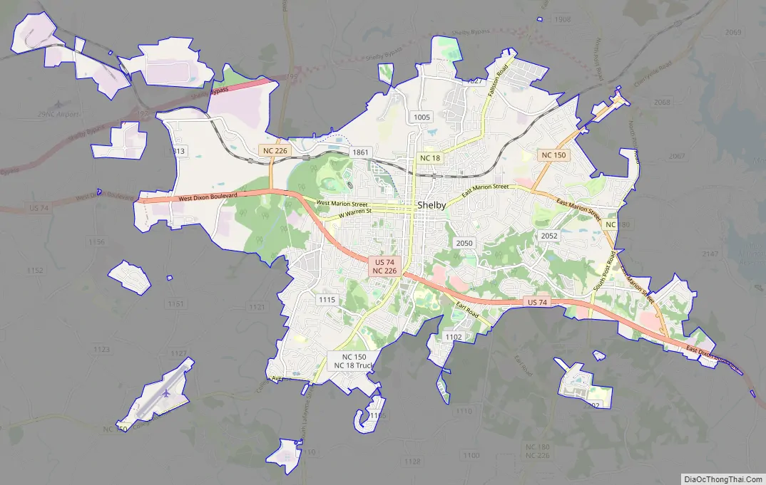
Shelby Road Map
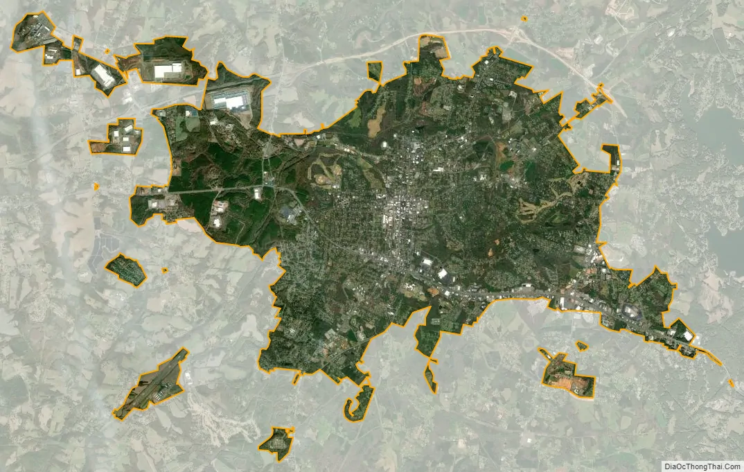
Shelby city Satellite Map
Geography
Shelby is located in south-central Cleveland County. U.S. Route 74, a four-lane highway, runs through the city south of the center, and leads east 21 miles (34 km) to Gastonia and west 27 miles (43 km) to Rutherfordton.
According to the United States Census Bureau, the city has a total area of 21.1 square miles (54.7 km), of which 21.1 square miles (54.6 km) is land and 0.04 square miles (0.1 km), or 0.17%, is water.
See also
Map of North Carolina State and its subdivision:- Alamance
- Alexander
- Alleghany
- Anson
- Ashe
- Avery
- Beaufort
- Bertie
- Bladen
- Brunswick
- Buncombe
- Burke
- Cabarrus
- Caldwell
- Camden
- Carteret
- Caswell
- Catawba
- Chatham
- Cherokee
- Chowan
- Clay
- Cleveland
- Columbus
- Craven
- Cumberland
- Currituck
- Dare
- Davidson
- Davie
- Duplin
- Durham
- Edgecombe
- Forsyth
- Franklin
- Gaston
- Gates
- Graham
- Granville
- Greene
- Guilford
- Halifax
- Harnett
- Haywood
- Henderson
- Hertford
- Hoke
- Hyde
- Iredell
- Jackson
- Johnston
- Jones
- Lee
- Lenoir
- Lincoln
- Macon
- Madison
- Martin
- McDowell
- Mecklenburg
- Mitchell
- Montgomery
- Moore
- Nash
- New Hanover
- Northampton
- Onslow
- Orange
- Pamlico
- Pasquotank
- Pender
- Perquimans
- Person
- Pitt
- Polk
- Randolph
- Richmond
- Robeson
- Rockingham
- Rowan
- Rutherford
- Sampson
- Scotland
- Stanly
- Stokes
- Surry
- Swain
- Transylvania
- Tyrrell
- Union
- Vance
- Wake
- Warren
- Washington
- Watauga
- Wayne
- Wilkes
- Wilson
- Yadkin
- Yancey
- Alabama
- Alaska
- Arizona
- Arkansas
- California
- Colorado
- Connecticut
- Delaware
- District of Columbia
- Florida
- Georgia
- Hawaii
- Idaho
- Illinois
- Indiana
- Iowa
- Kansas
- Kentucky
- Louisiana
- Maine
- Maryland
- Massachusetts
- Michigan
- Minnesota
- Mississippi
- Missouri
- Montana
- Nebraska
- Nevada
- New Hampshire
- New Jersey
- New Mexico
- New York
- North Carolina
- North Dakota
- Ohio
- Oklahoma
- Oregon
- Pennsylvania
- Rhode Island
- South Carolina
- South Dakota
- Tennessee
- Texas
- Utah
- Vermont
- Virginia
- Washington
- West Virginia
- Wisconsin
- Wyoming