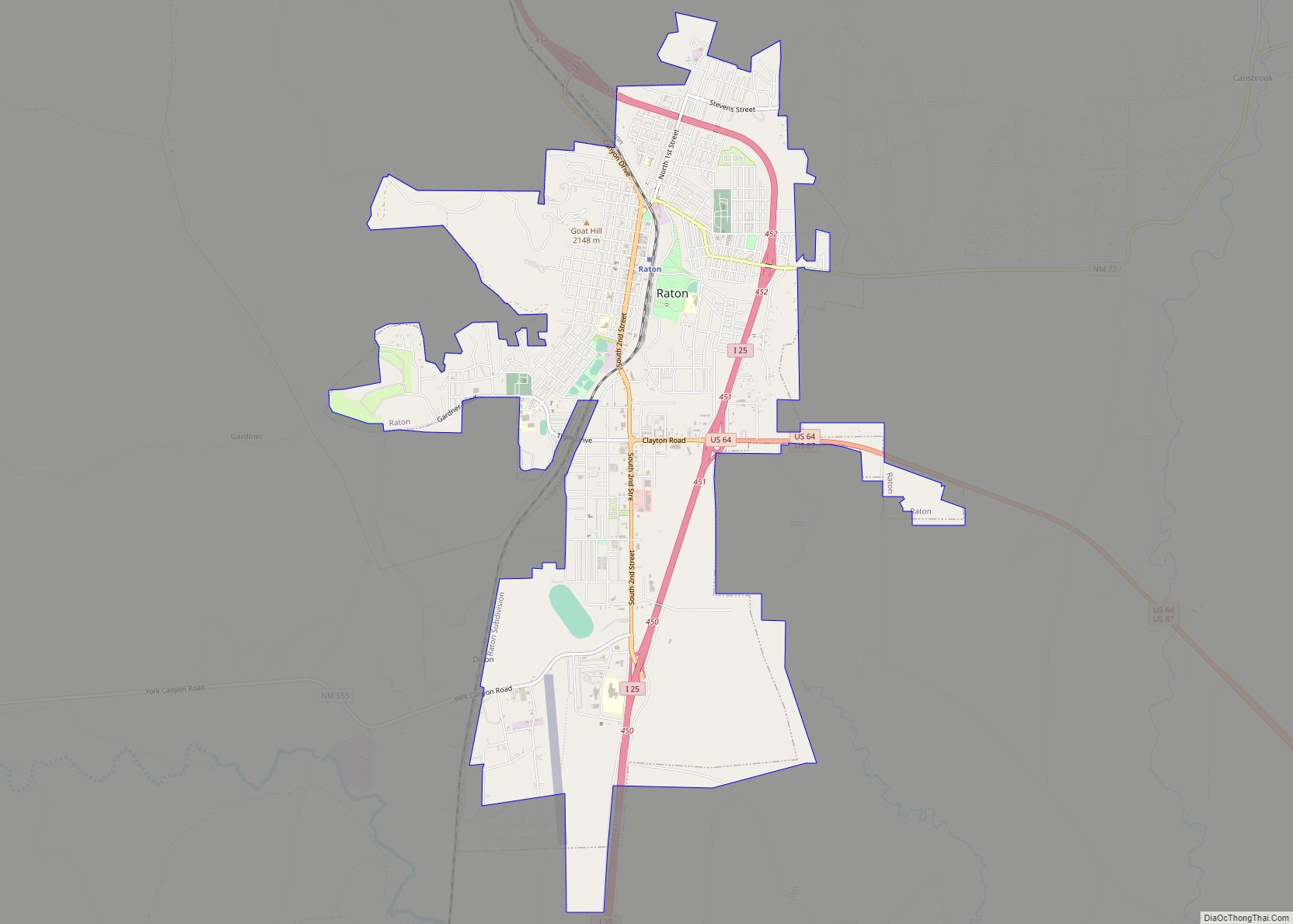
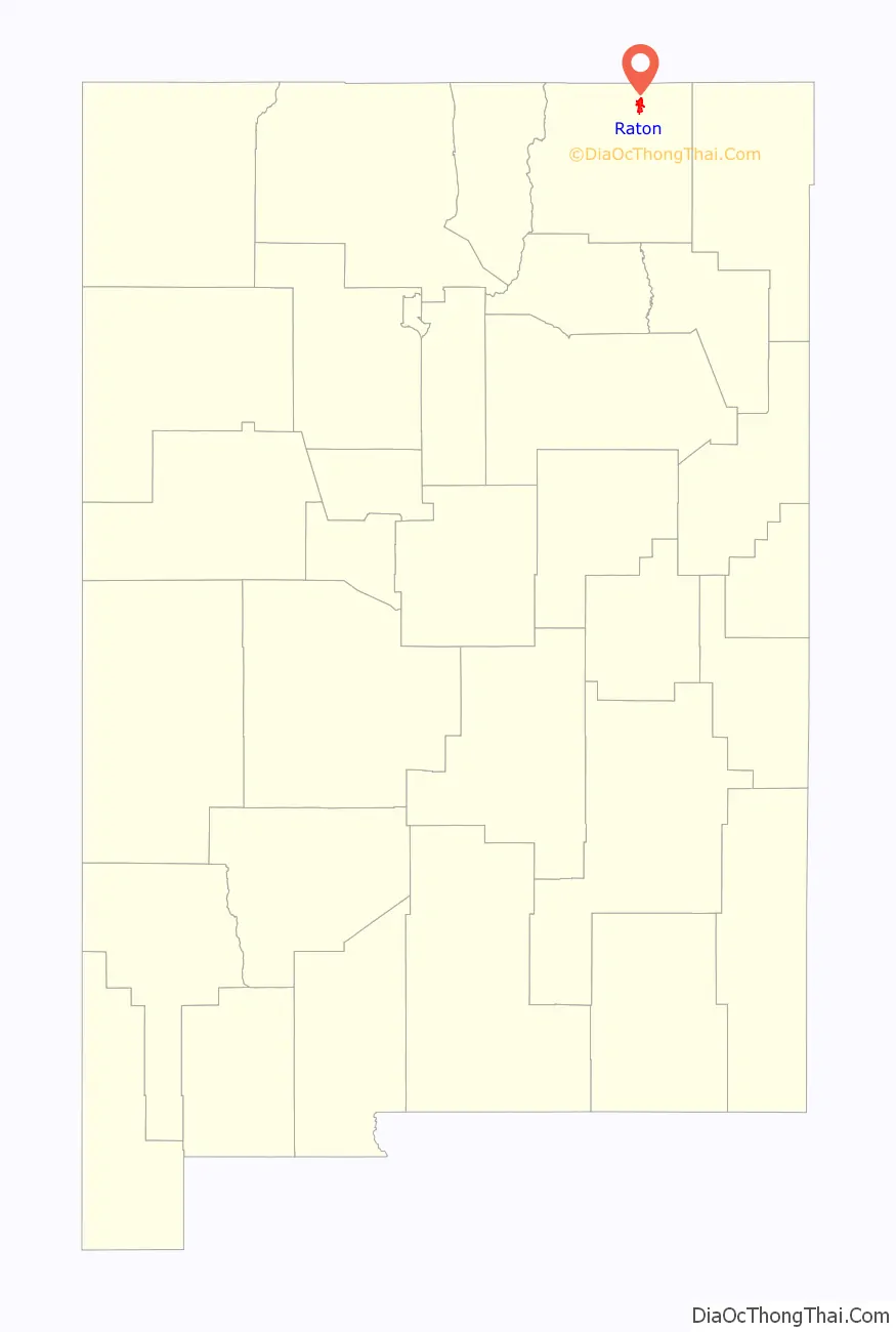
Raton (/rəˈtoʊn/ rə-TONE) is a city and the county seat of Colfax County in northeastern New Mexico. The city is located just south of Raton Pass. The city is also located about 6.5 miles south of the New Mexico–Colorado border and 85 miles west of Texas.
| Name: | Raton city |
|---|---|
| LSAD Code: | 25 |
| LSAD Description: | city (suffix) |
| State: | New Mexico |
| County: | Colfax County |
| Elevation: | 6,680 ft (2,036 m) |
| Total Area: | 7.96 sq mi (20.62 km²) |
| Land Area: | 7.96 sq mi (20.62 km²) |
| Water Area: | 0.00 sq mi (0.00 km²) |
| Total Population: | 6,041 |
| Population Density: | 758.82/sq mi (292.99/km²) |
| ZIP code: | 87740 |
| Area code: | 575 |
| FIPS code: | 3562060 |
| GNISfeature ID: | 0902335 |
| Website: | ratonnm.gov |
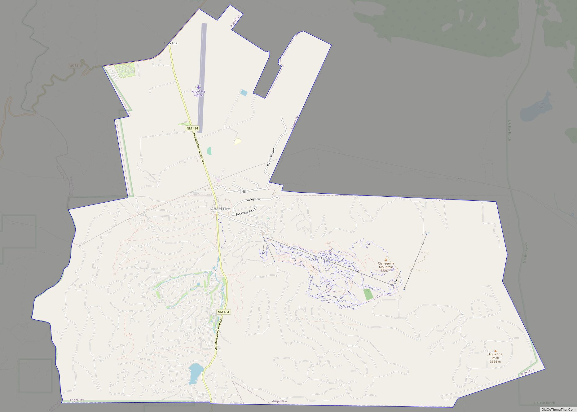
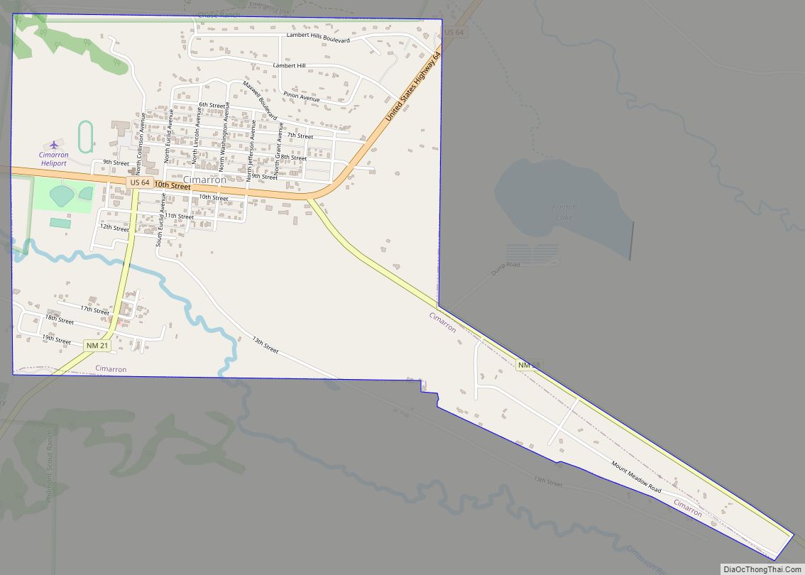
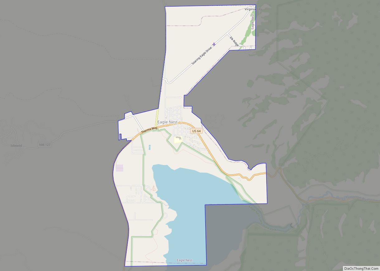
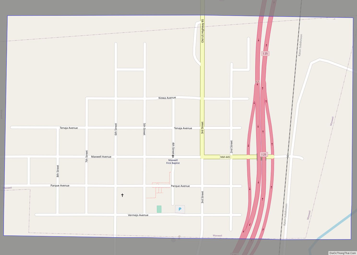
Online Interactive Map
Click on ![]() to view map in "full screen" mode.
to view map in "full screen" mode.
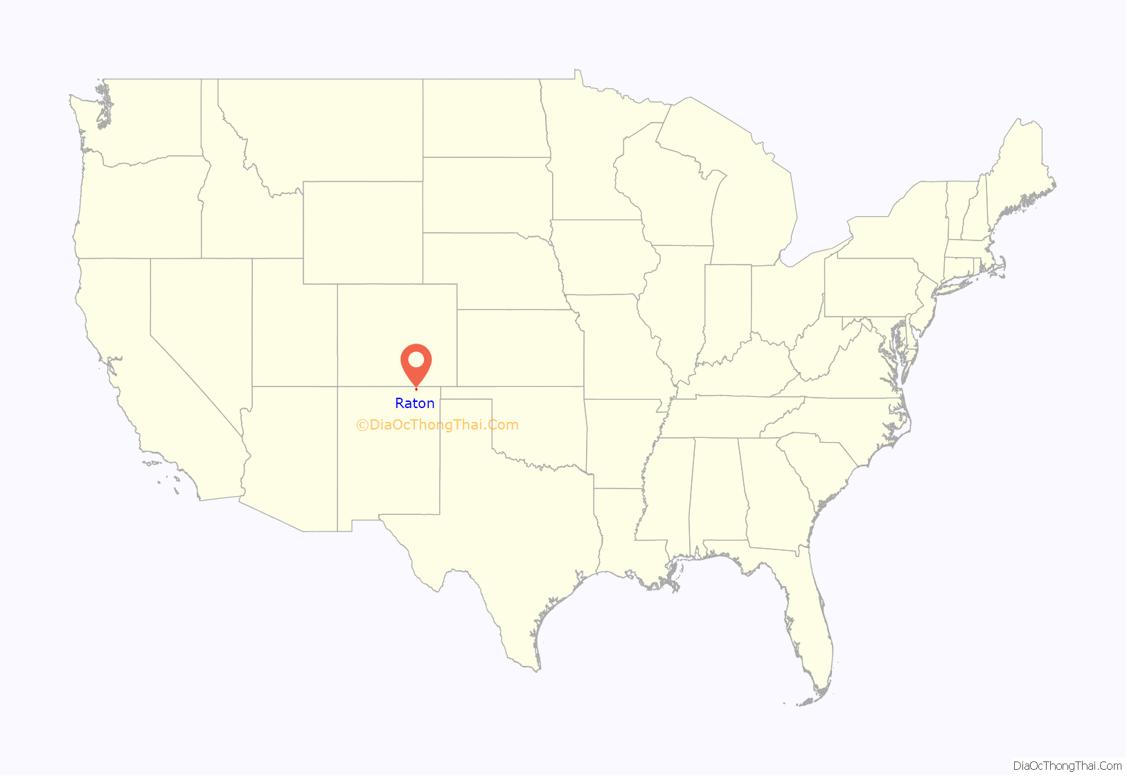
Raton location map. Where is Raton city?
History
Ratón is the Spanish word for mouse.
Raton Pass had been used by Spanish explorers and Native Americans for centuries to cut through the rugged Rocky Mountains, and the mountain branch of the Santa Fe Trail cuts through the city, along what is now Business I-25.
The post office at this location was named Willow Springs from 1877 to 1879, Otero from 1879 to 1880, then renamed Raton in 1880.
Raton was founded at the site of Willow Springs, a stop on the Santa Fe Trail. The original 320 acres (129.5 ha) for the Raton townsite were purchased from the Maxwell Land Grant in 1880. In 1879, the Atchison, Topeka and Santa Fe Railway bought a local toll road and established a busy rail line. Raton quickly developed as a railroad, mining, and ranching center for the northeast part of the New Mexico territory, as well as the county seat and principal trading center of the area.
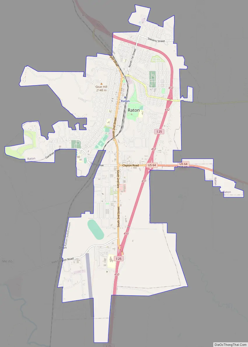
Raton Road Map
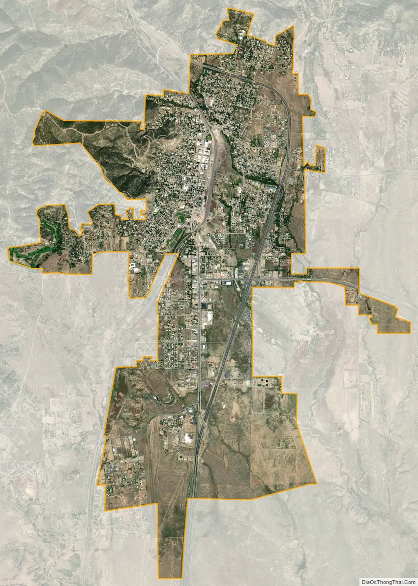
Raton city Satellite Map
Geography
Raton is located at 36°53′49″N 104°26′24″W / 36.89694°N 104.44000°W / 36.89694; -104.44000 (36.897082, -104.439912). According to the United States Census Bureau, the city has a total area of 8.0 square miles (20.6 km), all land. The Raton Range and Raton Peak are located immediately north of the town. The Raton Range is a 75-mile-long (121 km) ridge that extends east from the Sangre de Cristo Mountains. Raton Pass and the Raton Basin are also named for the Raton Range.
Geology
Raton is one of the famous sites for viewing the Cretaceous–Paleogene boundary, also known as the K-Pg or K-T boundary, or the iridium layer. A well-preserved sequence of rocks spans the K-T boundary in Climax Canyon Park, a Raton city park to the west of town. Geographic Coordinates: 36°54′13.99″N 104°27′0.75″W / 36.9038861°N 104.4502083°W / 36.9038861; -104.4502083
The rocks have been studied for evidence of the iridium anomaly cited as evidence of a large meteorite impact at the end of the Cretaceous. It is interpreted to have caused the Cretaceous–Paleogene extinction event, which killed off nonavian dinosaurs and many other species of flora and fauna 66 million years ago. The K-T boundary is represented in the rock strata by a 1-cm-thick tonstein clay layer which has been found to contain anomalously high concentrations of iridium.
Climate
See also
Map of New Mexico State and its subdivision: Map of other states:- Alabama
- Alaska
- Arizona
- Arkansas
- California
- Colorado
- Connecticut
- Delaware
- District of Columbia
- Florida
- Georgia
- Hawaii
- Idaho
- Illinois
- Indiana
- Iowa
- Kansas
- Kentucky
- Louisiana
- Maine
- Maryland
- Massachusetts
- Michigan
- Minnesota
- Mississippi
- Missouri
- Montana
- Nebraska
- Nevada
- New Hampshire
- New Jersey
- New Mexico
- New York
- North Carolina
- North Dakota
- Ohio
- Oklahoma
- Oregon
- Pennsylvania
- Rhode Island
- South Carolina
- South Dakota
- Tennessee
- Texas
- Utah
- Vermont
- Virginia
- Washington
- West Virginia
- Wisconsin
- Wyoming