Collin County is located in the U.S. state of Texas. It is part of the Dallas-Fort Worth–Arlington metropolitan statistical area, and a small portion of the city of Dallas is in the county. At the 2020 United States census, the county’s population is 1,064,465, making it the sixth-most populous county in Texas and the 43rd-largest county by population in the United States. Its county seat is McKinney.
| Name: | Collin County |
|---|---|
| FIPS code: | 48-085 |
| State: | Texas |
| Founded: | 1846 |
| Named for: | Collin McKinney |
| Seat: | McKinney |
| Largest city: | Plano |
| Total Area: | 886 sq mi (2,290 km²) |
| Land Area: | 841 sq mi (2,180 km²) |
| Total Population: | 1,064,465 |
| Population Density: | 1,200/sq mi (460/km²) |
| Time zone: | UTC−6 (Central) |
| Summer Time Zone (DST): | UTC−5 (CDT) |
| Website: | www.collincountytx.gov |
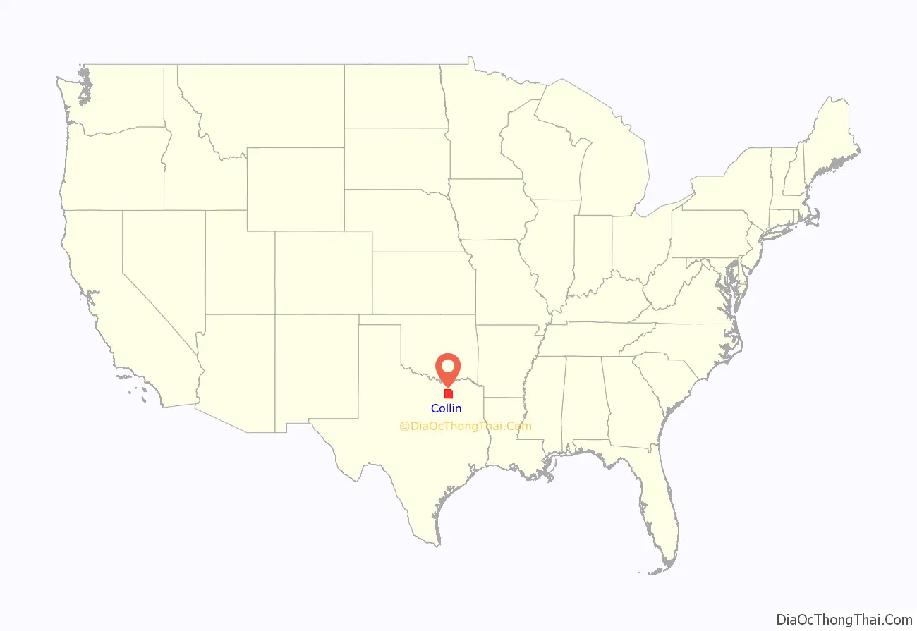
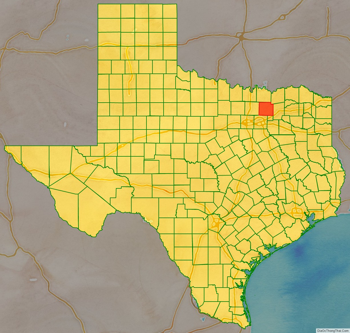
Collin County location map. Where is Collin County?
History
Both the county and the county seat were named after Collin McKinney (1766-1861), one of the five men who drafted the Texas Declaration of Independence and the oldest of the 59 men who signed it.
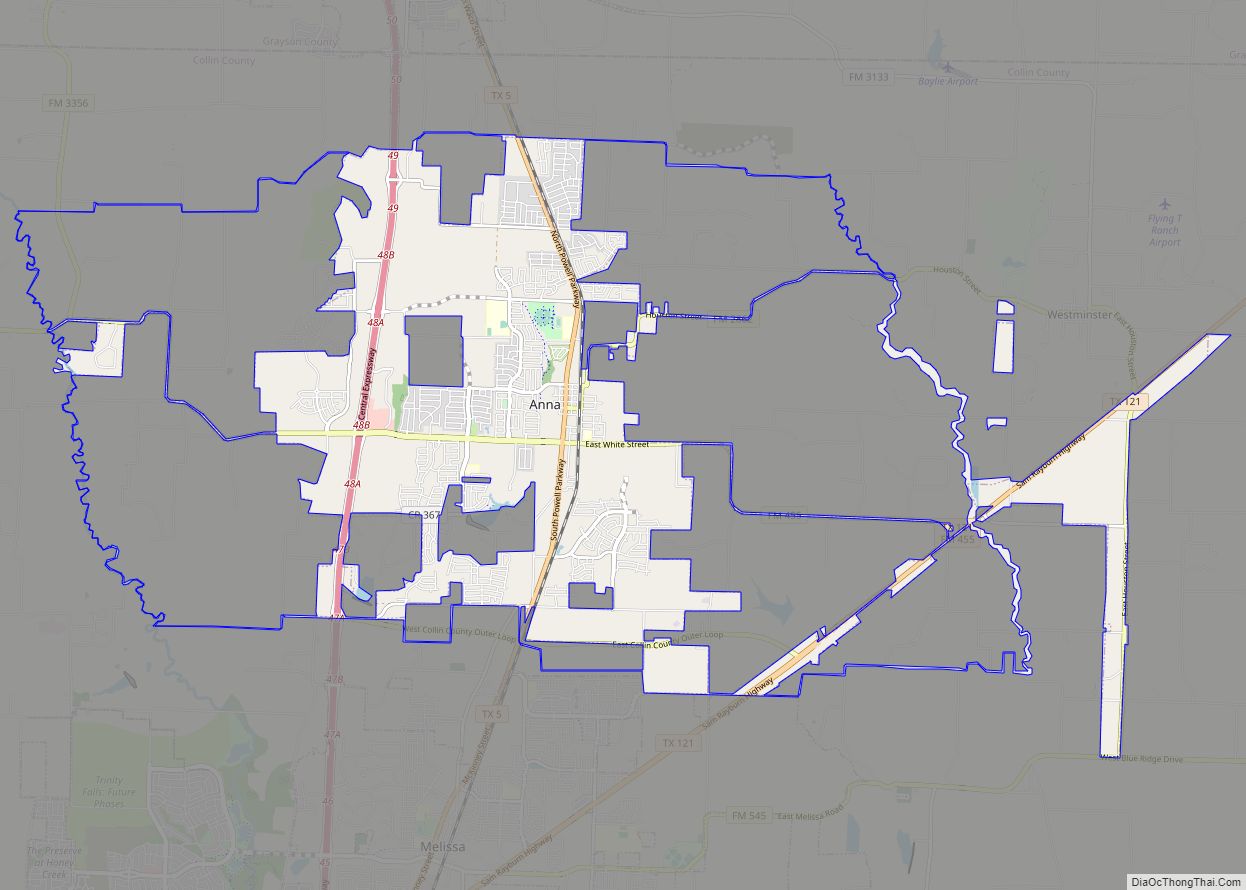
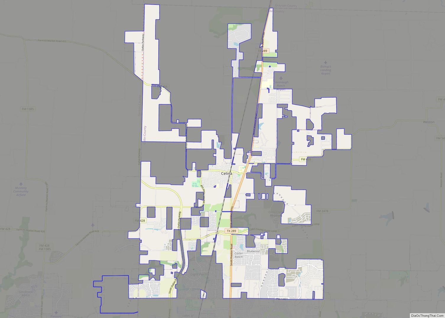
Collin County Road Map
Geography
According to the U.S. Census Bureau, the county has an area of 886 square miles (2,290 km), of which 841 square miles (2,180 km) is land and 45 square miles (120 km) (5.1%) is covered by water.
Lakes
- Lavon Lake
Major highways
Adjacent counties
- Grayson County (north)
- Fannin County (northeast)
- Hunt County (east)
- Rockwall County (southeast)
- Dallas County (south)
- Denton County (west)
