Plano (/ˈpleɪnoʊ/ PLAY-noh) is a city in Collin County and Denton County, Texas. It had a population of 285,494 at the 2020 census. It is a principal city of the Dallas–Fort Worth metroplex, and the headquarters of Frito-Lay.
| Name: | Plano city |
|---|---|
| LSAD Code: | 25 |
| LSAD Description: | city (suffix) |
| State: | Texas |
| County: | Collin County, Denton County |
| Incorporated: | June 2, 1873 |
| Elevation: | 719 ft (219 m) |
| Land Area: | 71.69 sq mi (185.67 km²) |
| Water Area: | 0.36 sq mi (0.93 km²) |
| Population Density: | 4,012.96/sq mi (1,549.42/km²) |
| FIPS code: | 4858016 |
| GNISfeature ID: | 2411437 |
| Website: | plano.gov |
Online Interactive Map
Click on ![]() to view map in "full screen" mode.
to view map in "full screen" mode.
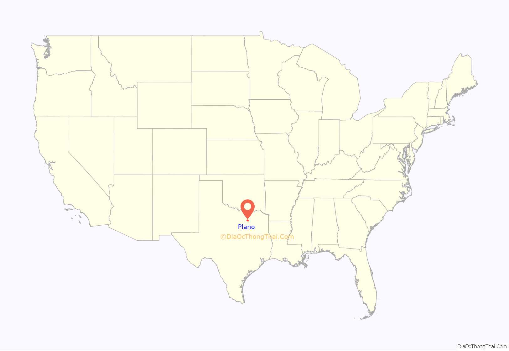
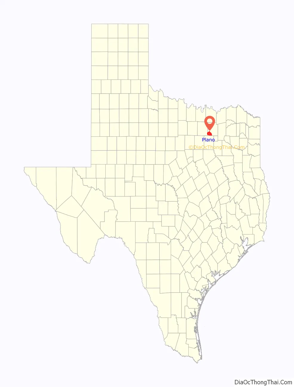
Plano location map. Where is Plano city?
History
Indigenous peoples around Collin County and North Texas included the Caddo, Comanche, Cherokee, Delaware, Kickapoo, and Tonkawa. European settlers came to the area near present-day Plano in the early 1840s. Facilities such as a sawmill, a gristmill, and a store soon brought more people to the area. A mail service was established, and after rejecting several names for the nascent town (including naming it in honor of then-President Millard Fillmore), residents suggested the name Plano (from the Spanish word for “flat”) in reference to the local terrain, unvaried and devoid of any trees. The post office accepted the name.
In 1872, the completion of the Houston and Central Texas Railway helped Plano grow, and it was incorporated in 1873. By 1874, the population was over 500. In 1881, a fire raged through the business district, destroying most of the buildings. Plano was rebuilt and business again flourished through the 1880s. Also in 1881, the city assumed responsibility for what would eventually become Plano Independent School District (PISD), ending the days of it being served only by private schools.
At first, Plano’s population grew slowly, reaching 1,304 in 1900 and 3,695 in 1960. By 1970, Plano began to feel some of the boom its neighbors had experienced after World War II. A series of public works projects and a change in taxes that removed the farming community from the town helped increase the population. In 1970, the population reached 17,872, and by 1980, it had exploded to 72,000. Sewers, schools, and street development kept pace with this massive increase, largely because of Plano’s flat topography, grid layout, and planning initiatives.
During the 1980s, many large corporations, including J. C. Penney and Frito-Lay, moved their headquarters to Plano, spurring further growth. By 1990, the population reached 128,713, dwarfing the county seat, McKinney. In 1994, Plano was recognized as an All-America City. By 2000, the population grew to 222,030, making it one of Dallas’s largest suburbs. Plano is surrounded by other municipalities and so cannot expand in area, and there is little undeveloped land within the city limits. But as of July 2012, one large tract of land was being developed: Turnpike Commons at the intersection of Renner Road and the George Bush Turnpike (also bordered by Shiloh Road to the east). The development is expected to feature apartments, medical facilities, restaurants, a Race Trac gas station, and a hotel.
On June 15, 2015, after five years of disuse, a 178-foot water tower built in 1985 was demolished to make room for Legacy West.
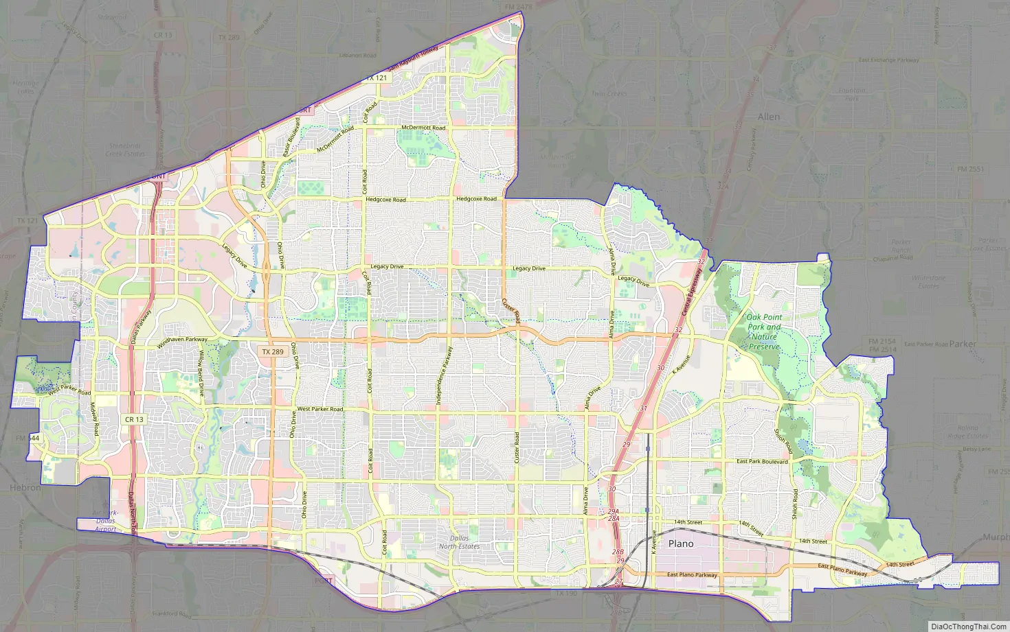
Plano Road Map
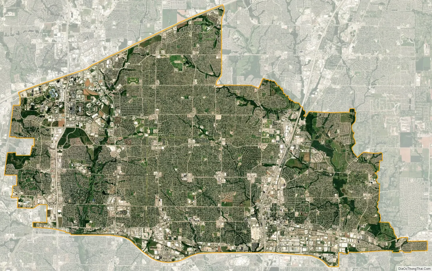
Plano city Satellite Map
Geography
According to the United States Census Bureau, Plano has an area of 71.6 square miles (185.5 km). Plano is about 17 miles (27 km) from Downtown Dallas.
Plano is in the humid subtropical climate zone. The highest recorded temperature was 118 °F (48 °C) in 1936. On average, the coolest month is January and the warmest is July. The lowest recorded temperature was –7 °F (–22 °C) in 1930. The maximum average precipitation occurs in May.
See also
Map of Texas State and its subdivision:- Anderson
- Andrews
- Angelina
- Aransas
- Archer
- Armstrong
- Atascosa
- Austin
- Bailey
- Bandera
- Bastrop
- Baylor
- Bee
- Bell
- Bexar
- Blanco
- Borden
- Bosque
- Bowie
- Brazoria
- Brazos
- Brewster
- Briscoe
- Brooks
- Brown
- Burleson
- Burnet
- Caldwell
- Calhoun
- Callahan
- Cameron
- Camp
- Carson
- Cass
- Castro
- Chambers
- Cherokee
- Childress
- Clay
- Cochran
- Coke
- Coleman
- Collin
- Collingsworth
- Colorado
- Comal
- Comanche
- Concho
- Cooke
- Coryell
- Cottle
- Crane
- Crockett
- Crosby
- Culberson
- Dallam
- Dallas
- Dawson
- Deaf Smith
- Delta
- Denton
- Dewitt
- Dickens
- Dimmit
- Donley
- Duval
- Eastland
- Ector
- Edwards
- El Paso
- Ellis
- Erath
- Falls
- Fannin
- Fayette
- Fisher
- Floyd
- Foard
- Fort Bend
- Franklin
- Freestone
- Frio
- Gaines
- Galveston
- Garza
- Gillespie
- Glasscock
- Goliad
- Gonzales
- Gray
- Grayson
- Gregg
- Grimes
- Guadalupe
- Hale
- Hall
- Hamilton
- Hansford
- Hardeman
- Hardin
- Harris
- Harrison
- Hartley
- Haskell
- Hays
- Hemphill
- Henderson
- Hidalgo
- Hill
- Hockley
- Hood
- Hopkins
- Houston
- Howard
- Hudspeth
- Hunt
- Hutchinson
- Irion
- Jack
- Jackson
- Jasper
- Jeff Davis
- Jefferson
- Jim Hogg
- Jim Wells
- Johnson
- Jones
- Karnes
- Kaufman
- Kendall
- Kenedy
- Kent
- Kerr
- Kimble
- King
- Kinney
- Kleberg
- Knox
- La Salle
- Lamar
- Lamb
- Lampasas
- Lavaca
- Lee
- Leon
- Liberty
- Limestone
- Lipscomb
- Live Oak
- Llano
- Loving
- Lubbock
- Lynn
- Madison
- Marion
- Martin
- Mason
- Matagorda
- Maverick
- McCulloch
- McLennan
- McMullen
- Medina
- Menard
- Midland
- Milam
- Mills
- Mitchell
- Montague
- Montgomery
- Moore
- Morris
- Motley
- Nacogdoches
- Navarro
- Newton
- Nolan
- Nueces
- Ochiltree
- Oldham
- Orange
- Palo Pinto
- Panola
- Parker
- Parmer
- Pecos
- Polk
- Potter
- Presidio
- Rains
- Randall
- Reagan
- Real
- Red River
- Reeves
- Refugio
- Roberts
- Robertson
- Rockwall
- Runnels
- Rusk
- Sabine
- San Augustine
- San Jacinto
- San Patricio
- San Saba
- Schleicher
- Scurry
- Shackelford
- Shelby
- Sherman
- Smith
- Somervell
- Starr
- Stephens
- Sterling
- Stonewall
- Sutton
- Swisher
- Tarrant
- Taylor
- Terrell
- Terry
- Throckmorton
- Titus
- Tom Green
- Travis
- Trinity
- Tyler
- Upshur
- Upton
- Uvalde
- Val Verde
- Van Zandt
- Victoria
- Walker
- Waller
- Ward
- Washington
- Webb
- Wharton
- Wheeler
- Wichita
- Wilbarger
- Willacy
- Williamson
- Wilson
- Winkler
- Wise
- Wood
- Yoakum
- Young
- Zapata
- Zavala
- Alabama
- Alaska
- Arizona
- Arkansas
- California
- Colorado
- Connecticut
- Delaware
- District of Columbia
- Florida
- Georgia
- Hawaii
- Idaho
- Illinois
- Indiana
- Iowa
- Kansas
- Kentucky
- Louisiana
- Maine
- Maryland
- Massachusetts
- Michigan
- Minnesota
- Mississippi
- Missouri
- Montana
- Nebraska
- Nevada
- New Hampshire
- New Jersey
- New Mexico
- New York
- North Carolina
- North Dakota
- Ohio
- Oklahoma
- Oregon
- Pennsylvania
- Rhode Island
- South Carolina
- South Dakota
- Tennessee
- Texas
- Utah
- Vermont
- Virginia
- Washington
- West Virginia
- Wisconsin
- Wyoming


