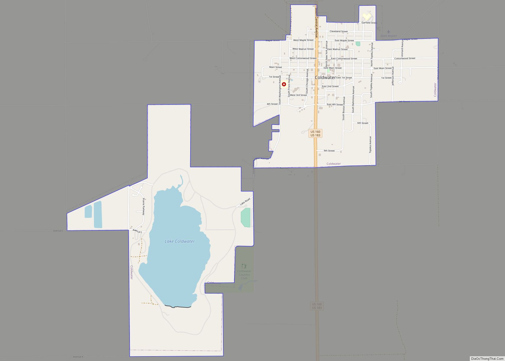
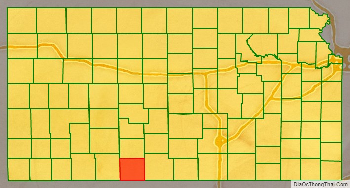
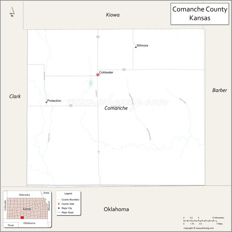
Comanche County (county code CM) is a county located in the U.S. state of Kansas. As of the 2020 census, the county population was 1,689. Its county seat and most populous city is Coldwater. The county is named after the Comanche Native Americans.
| Name: | Comanche County |
|---|---|
| FIPS code: | 20-033 |
| State: | Kansas |
| Founded: | February 26, 1867 |
| Named for: | Comanche Native Americans |
| Seat: | Coldwater |
| Largest city: | Coldwater |
| Total Area: | 790 sq mi (2,000 km²) |
| Land Area: | 788 sq mi (2,040 km²) |
| Total Population: | 1,689 |
| Population Density: | 2.1/sq mi (0.8/km²) |
| Time zone: | UTC−6 (Central) |
| Summer Time Zone (DST): | UTC−5 (CDT) |
| Website: | comanchecoks.org |
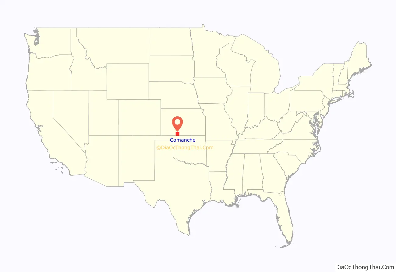
Comanche County location map. Where is Comanche County?
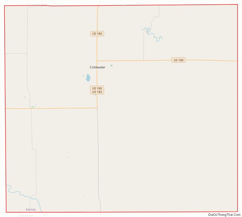
Comanche County Road Map
Geography
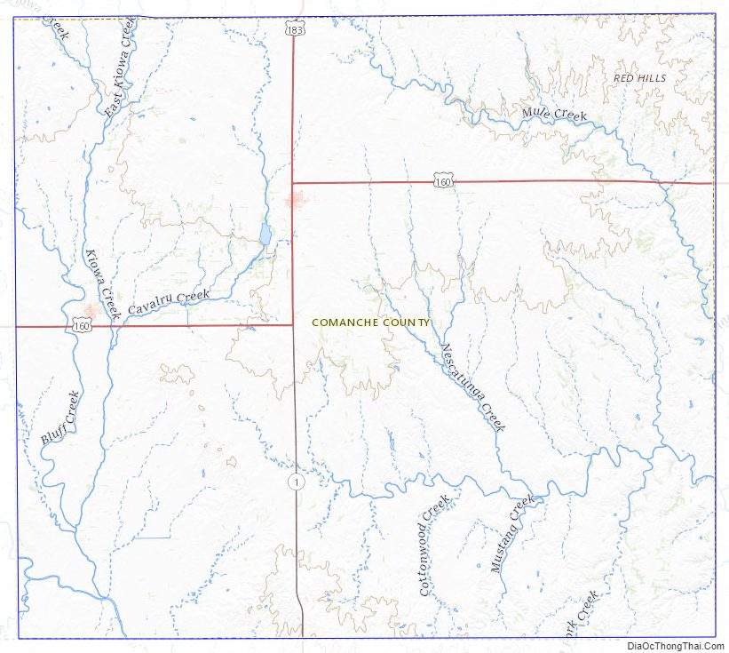
According to the United States Census Bureau, the county has a total area of 790 square miles (2,000 km), of which 788 square miles (2,040 km) is land and 1.4 square miles (3.6 km) (0.2%) is water.
Adjacent counties
- Kiowa County (north)
- Barber County (east)
- Woods County, Oklahoma (south)
- Harper County, Oklahoma (southwest)
- Clark County (west)
Comanche County Topographic Map
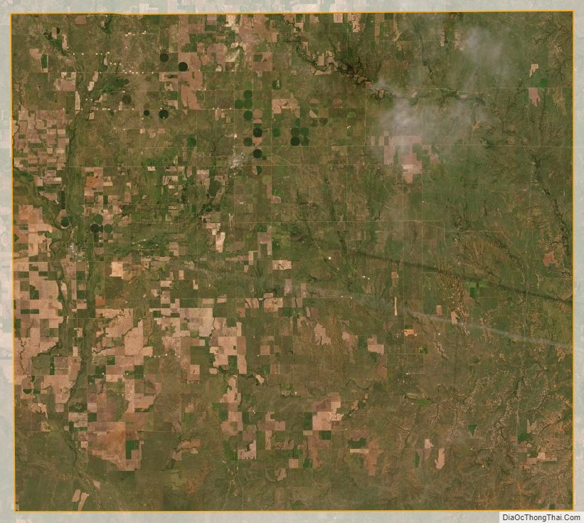
Comanche County Satellite Map
Comanche County Outline Map