Kiowa County (standard abbreviation: KW) is a county located in the U.S. state of Kansas. As of the 2020 census, the county population was 2,460. The largest city and county seat is Greensburg.
| Name: | Kiowa County |
|---|---|
| FIPS code: | 20-097 |
| State: | Kansas |
| Founded: | February 26, 1867 |
| Named for: | Kiowa tribe |
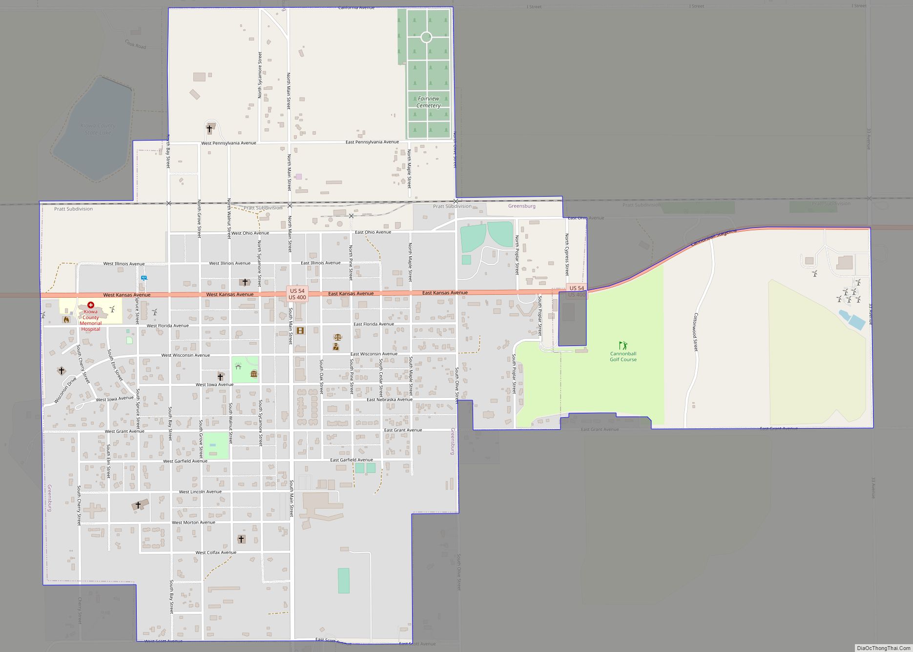
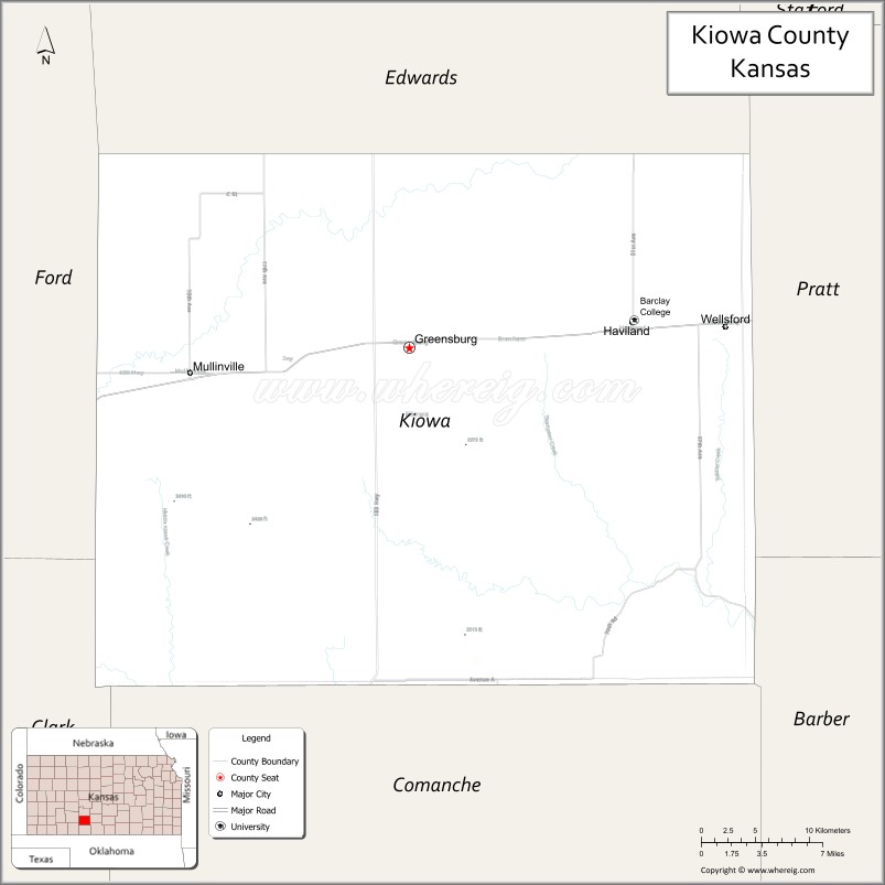
| Seat: | Greensburg |
| Largest city: | Greensburg |
| Total Area: | 723 sq mi (1,870 km²) |
| Land Area: | 723 sq mi (1,870 km²) |
| Total Population: | 2,460 |
| Population Density: | 3.4/sq mi (1.3/km²) |
| Time zone: | UTC−6 (Central) |
| Summer Time Zone (DST): | UTC−5 (CDT) |
| Website: | kiowacountyks.org |
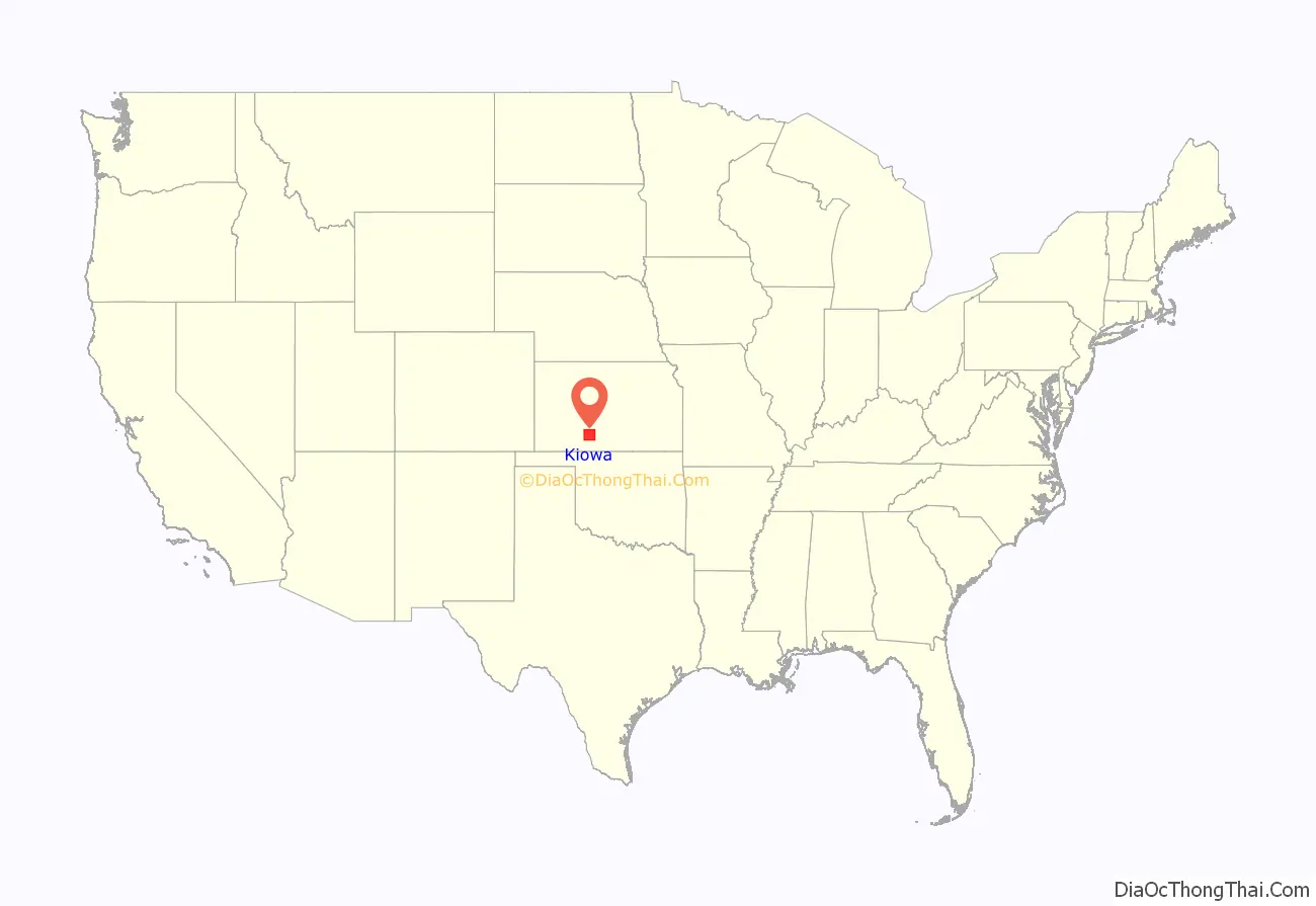
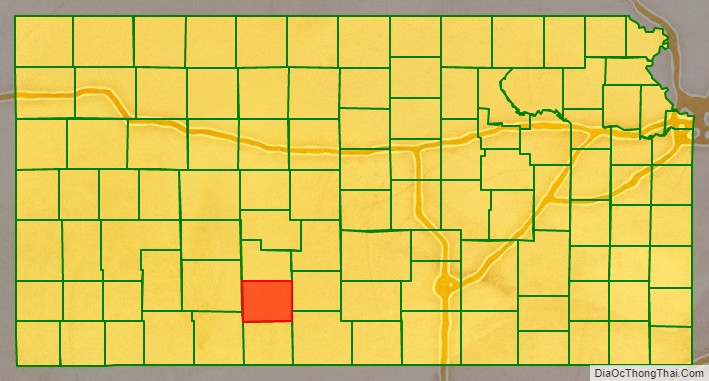
Kiowa County location map. Where is Kiowa County?
History
19th century
In 1854, the Kansas Territory was organized, then in 1861 Kansas became the 34th U.S. state. In 1867, Kiowa County was established and named after the Kiowa tribe.
21st century
On the evening of May 4, 2007, Greensburg was devastated by an EF5 tornado during the May 2007 tornado outbreak. It killed 11 and destroyed 95% of the community.
The Kiowa County Courthouse was renovated with new windows and roof after the 2007 tornado damaged it. Originally, construction of the building started in 1920.
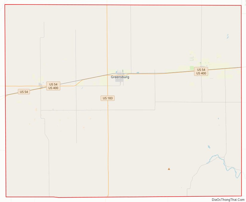
Kiowa County Road Map
Geography
According to the U.S. Census Bureau, the county has a total area of 723 square miles (1,870 km), of which 723 square miles (1,870 km) is land and 0.2 square miles (0.52 km) (0.03%) is water.
Kiowa County has a large number of iron-rich meteorites in its soil due to the Brenham meteor fall over 10 thousand years ago.
Adjacent counties
- Edwards County (north)
- Pratt County (east)
- Barber County (southeast)
- Comanche County (south)
- Clark County (southwest)
- Ford County (west)
Major highways
- US 54
- US 183
- US 400
Kiowa County has only U.S. highways, no state highways.
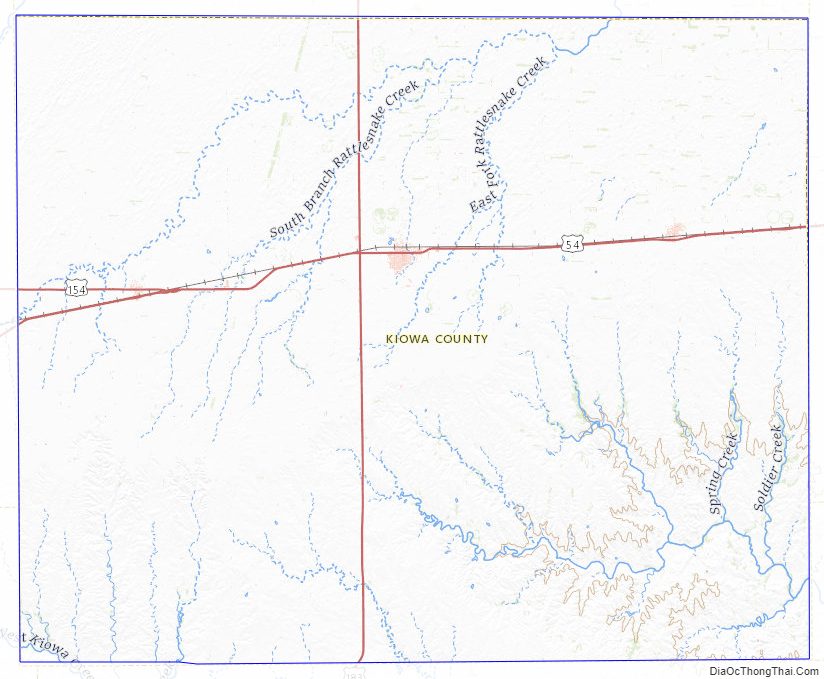
Kiowa County Topographic Map
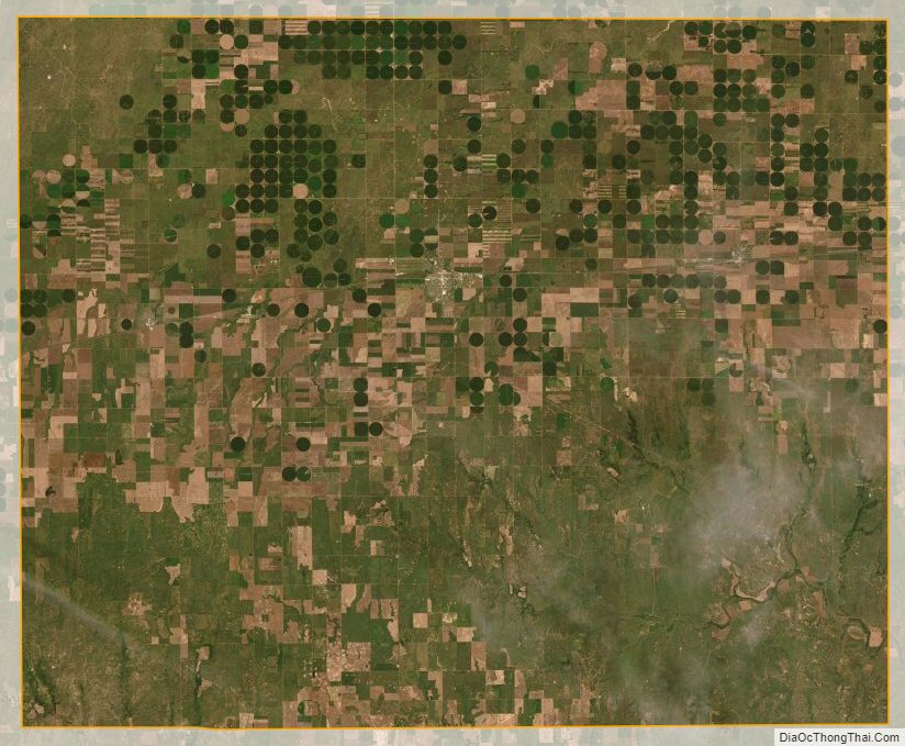
Kiowa County Satellite Map
Kiowa County Outline Map