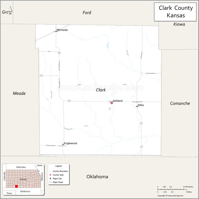
Clark County (county code CA) is a county located in the U.S. state of Kansas. As of the 2020 census, the county population was 1,991. Its county seat and most populous city is Ashland.
| Name: | Clark County |
|---|---|
| FIPS code: | 20-025 |
| State: | Kansas |
| Founded: | February 26, 1867 |
| Named for: | Charles F. Clarke |
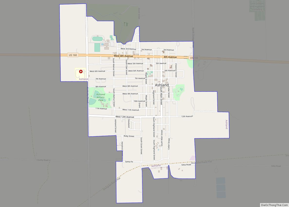
| Seat: | Ashland |
| Largest city: | Ashland |
| Total Area: | 977 sq mi (2,530 km²) |
| Land Area: | 975 sq mi (2,530 km²) |
| Total Population: | 1,991 |
| Population Density: | 2.0/sq mi (0.8/km²) |
| Time zone: | UTC−6 (Central) |
| Summer Time Zone (DST): | UTC−5 (CDT) |
| Website: | ClarkCountyKS.com |
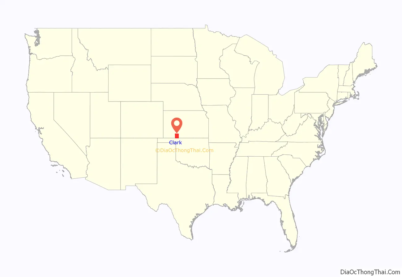
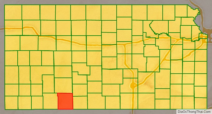
Clark County location map. Where is Clark County?
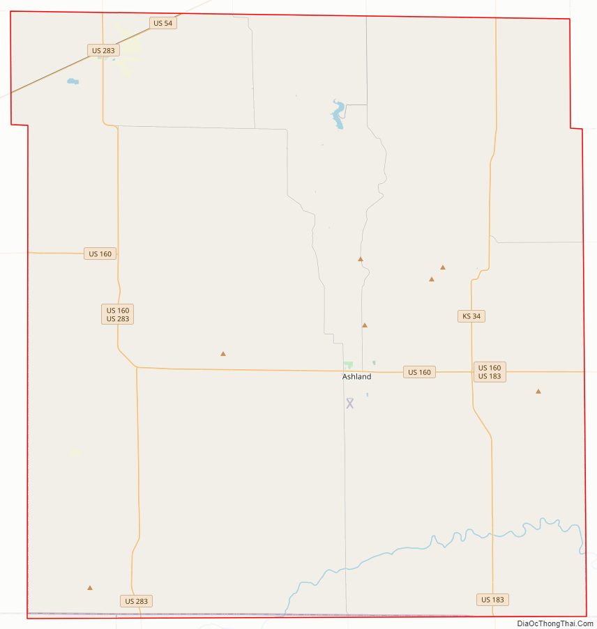
Clark County Road Map
Geography
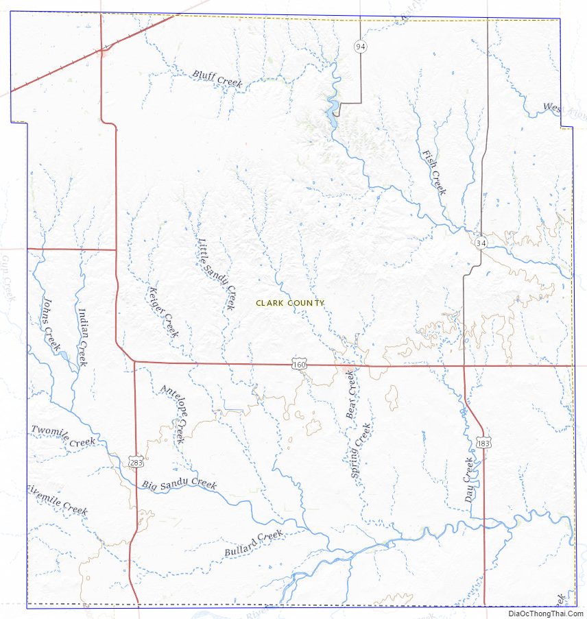
According to the United States Census Bureau, the county has a total area of 977 square miles (2,530 km), of which 975 square miles (2,530 km) is land and 2.6 square miles (6.7 km) (%) is water.
Adjacent counties
- Ford County (north)
- Kiowa County (northeast)
- Comanche County (east)
- Harper County, Oklahoma (southeast)
- Beaver County, Oklahoma (southwest)
- Meade County (west)
Major highways
Sources: National Atlas, U.S. Census Bureau
- U.S. Route 54
- U.S. Route 160
- U.S. Route 183
- U.S. Route 283
- Kansas Highway 34
Clark County Topographic Map
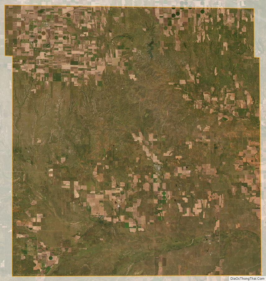
Clark County Satellite Map
Clark County Outline Map