Cooke County is a county in the U.S. state of Texas. At the 2020 census, its population was 41,668. The county seat is Gainesville. The county was founded in 1848 and organized the next year. It is named for William Gordon Cooke, a soldier during the Texas Revolution. It is a part of the Texoma region.
Cooke County comprises the Gainesville, TX micropolitan statistical area, which is also included in the Dallas–Fort Worth, TX-OK combined statistical area.
| Name: | Cooke County |
|---|---|
| FIPS code: | 48-097 |
| State: | Texas |
| Founded: | 1849 |
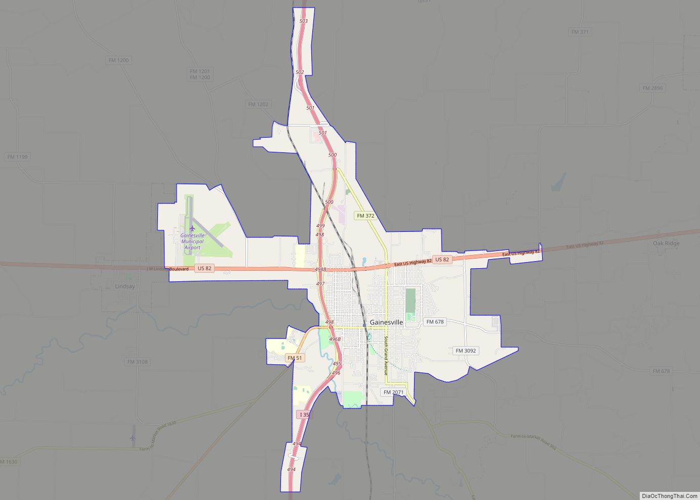
| Seat: | Gainesville |
| Largest city: | Gainesville |
| Total Area: | 898 sq mi (2,330 km²) |
| Land Area: | 875 sq mi (2,270 km²) |
| Total Population: | 41,668 |
| Population Density: | 46/sq mi (18/km²) |
| Time zone: | UTC−6 (Central) |
| Summer Time Zone (DST): | UTC−5 (CDT) |
| Website: | www.co.cooke.tx.us |
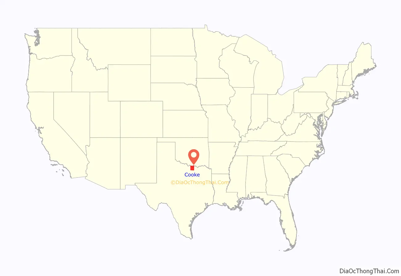
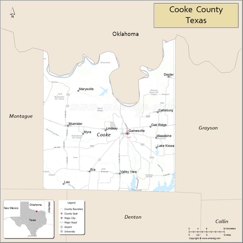
Cooke County location map. Where is Cooke County?
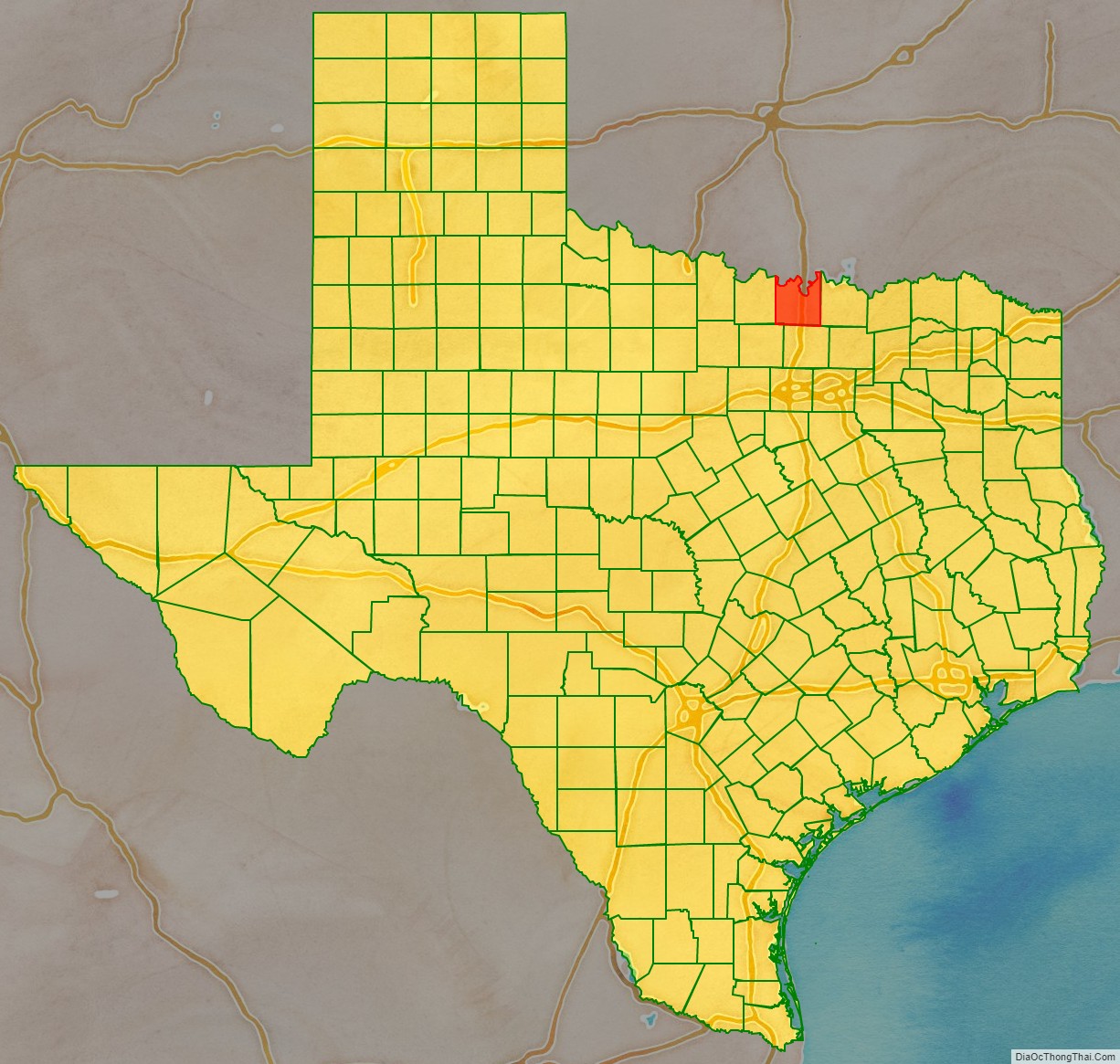
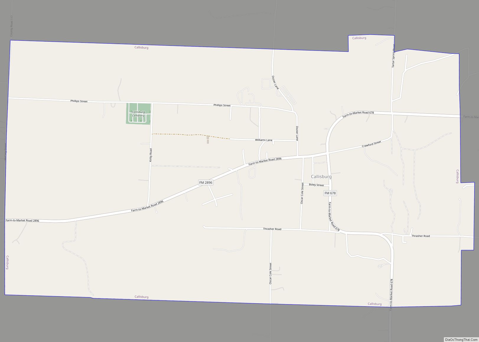
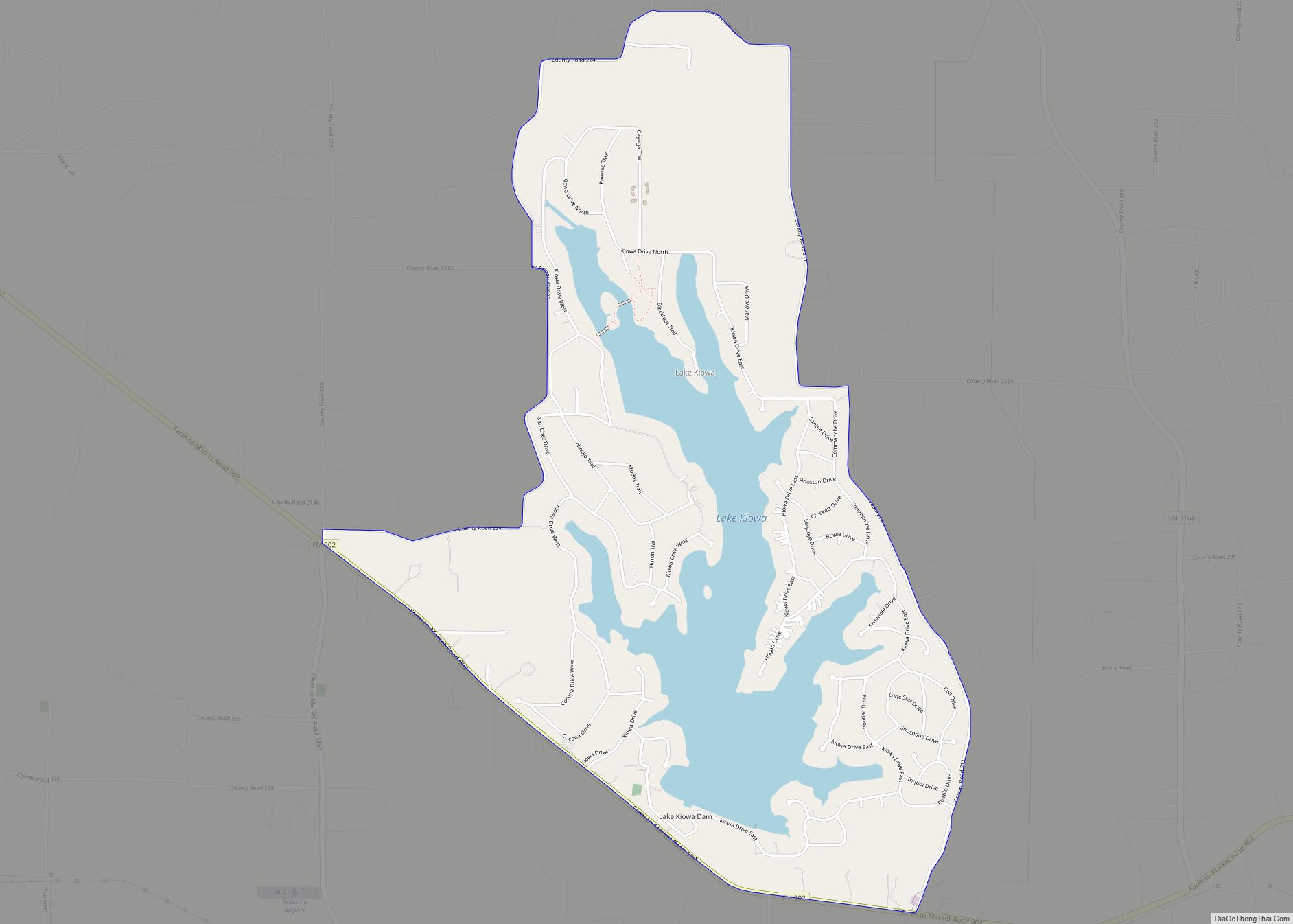
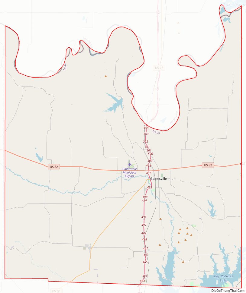
Cooke County Road Map
Geography
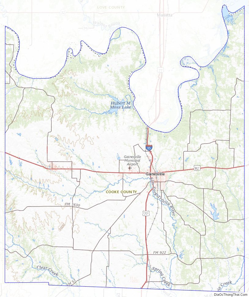
According to the U.S. Census Bureau, the county has an area of 898 square miles (2,330 km), of which 24 square miles (62 km) (2.6%) are covered by water.
Major highways
- Interstate 35/U.S. Highway 77
- U.S. Highway 82
- Farm to Market Road 51
Adjacent counties
- Love County, Oklahoma (north)
- Grayson County (east)
- Denton County (south)
- Wise County (southwest)
- Montague County (west)
Cooke County Topographic Map
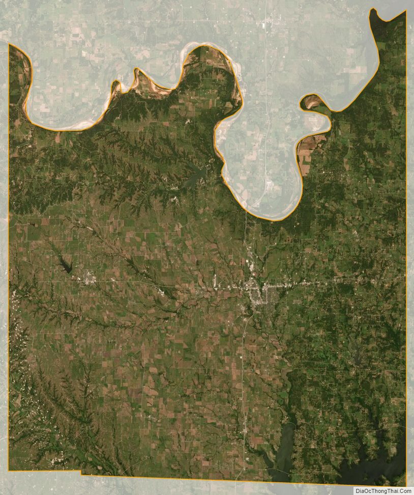
Cooke County Satellite Map
Cooke County Outline Map