Muenster (/ˈmʌnstər/ MUN-stər) is a city in western Cooke County, Texas, United States, along U.S. Route 82. The population was 1,544 at the 2010 census. Muenster is a primarily German-Texan and Catholic city.
| Name: | Muenster city |
|---|---|
| LSAD Code: | 25 |
| LSAD Description: | city (suffix) |
| State: | Texas |
| County: | Cooke County |
| Elevation: | 1,001 ft (305 m) |
| Total Area: | 2.65 sq mi (6.87 km²) |
| Land Area: | 2.64 sq mi (6.83 km²) |
| Water Area: | 0.01 sq mi (0.04 km²) |
| Total Population: | 1,731 |
| Population Density: | 623.58/sq mi (240.73/km²) |
| ZIP code: | 76252 |
| Area code: | 940 |
| FIPS code: | 4849932 |
| GNISfeature ID: | 1363432 |
| Website: | cityofmuenstertx.org |
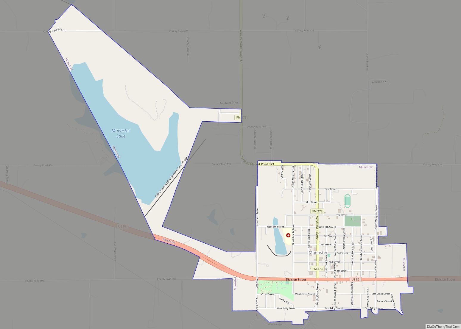
Online Interactive Map
Click on ![]() to view map in "full screen" mode.
to view map in "full screen" mode.
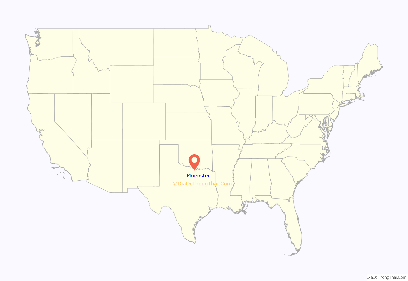
Muenster location map. Where is Muenster city?
History
In 1887, the Missouri–Kansas–Texas Railroad constructed a line from Gainesville to Henrietta that passed through the site that would become Muenster. The town was subsequently founded in 1889 by German Catholic settlers Carl and Emil Flusche, who invited other German Catholics to join them. The town was originally to be called “Westphalia”, but since the name Westphalia, Texas, was already taken, Muenster was selected instead in honor of Münster, the capital of Westphalia, but these cities are not sister-cities.
Many residents still spoke German in day-to-day life up until the First World War, after which the language was no longer taught in the schools and steadily declined in use.
With more than 90% of the population German and Catholic, the city has preserved many German customs, and still produces traditional foods at the local meat market and Bäckerei. An annual festival in April, Germanfest, includes beer, BBQ, German food, music, and bike and footraces. A Christkindlmarkt is held each year on Thanksgiving weekend.
Catholicism was so important to the early settlers that they built a school before a church was ever established. That school, Sacred Heart Catholic School, still exists today (one of only four high schools in the Fort Worth Diocese), along with the public Muenster Independent School District.
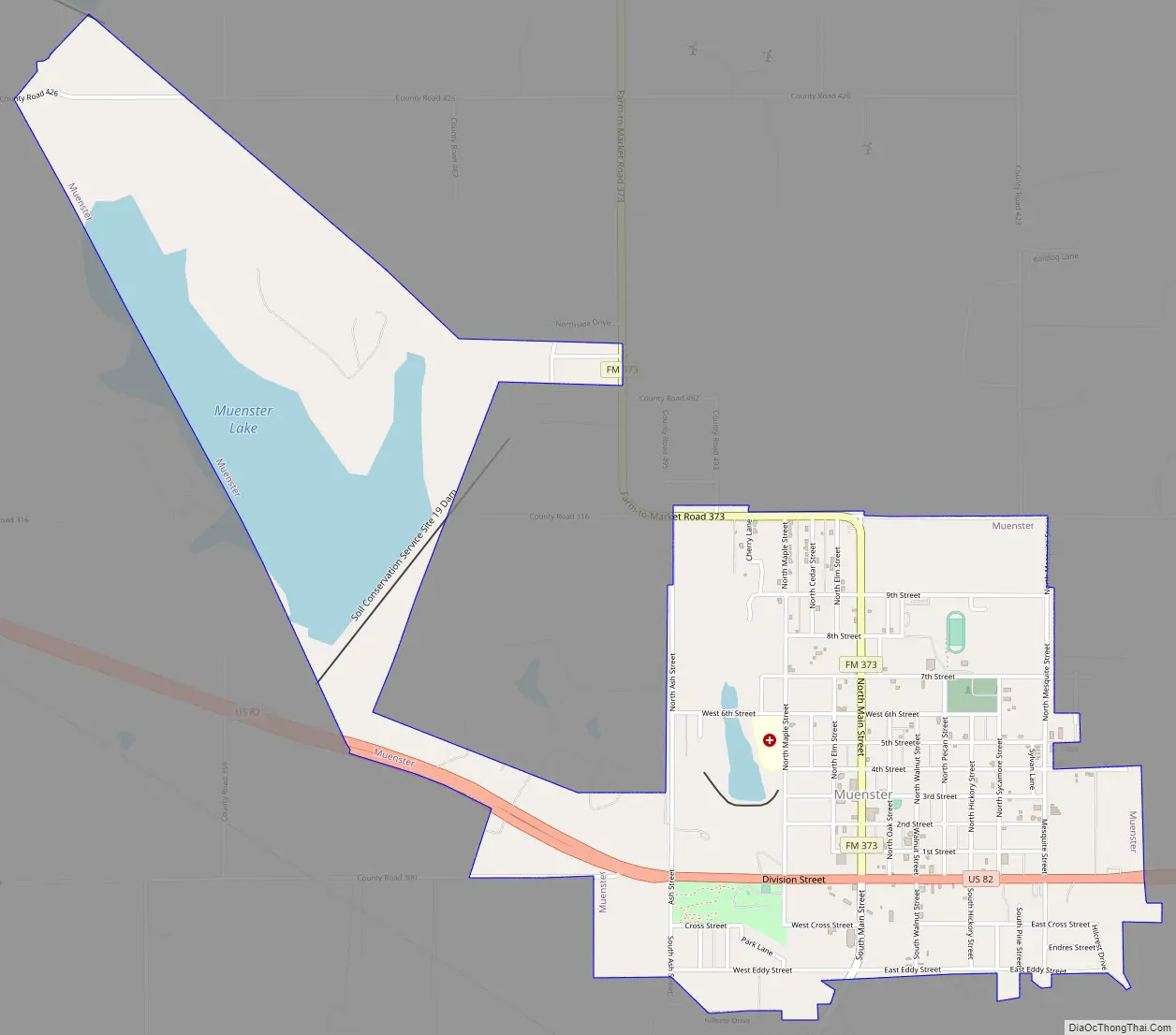
Muenster Road Map
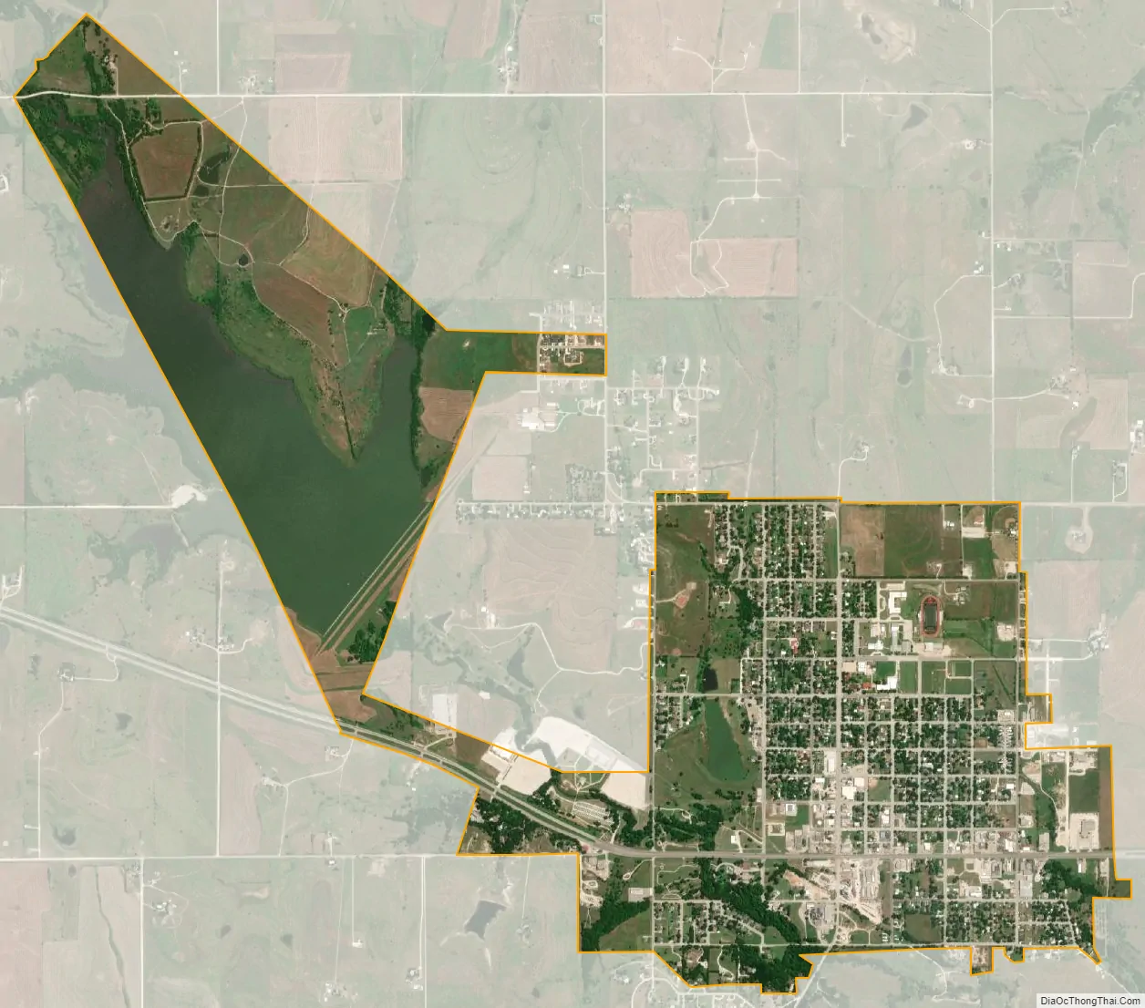
Muenster city Satellite Map
Geography
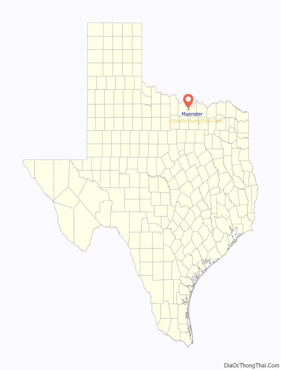
Muenster is located in western Cooke County at 33°39′03″N 97°22′32″W / 33.650937°N 97.375659°W / 33.650937; -97.375659.
According to the United States Census Bureau, the city has a total area of 2.5 square miles (6.6 km), of which 2.3 acres (9,506 m), or 0.14%, is covered by water.
See also
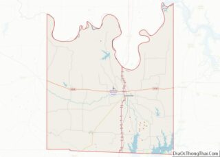
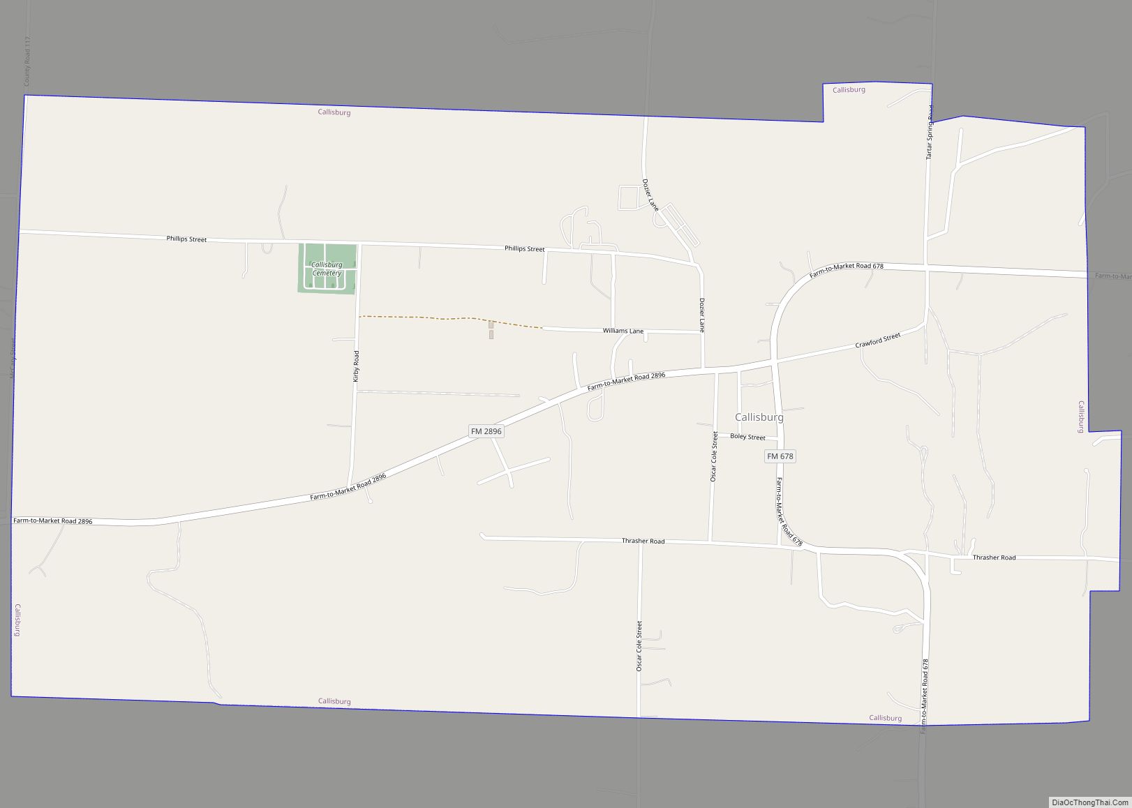
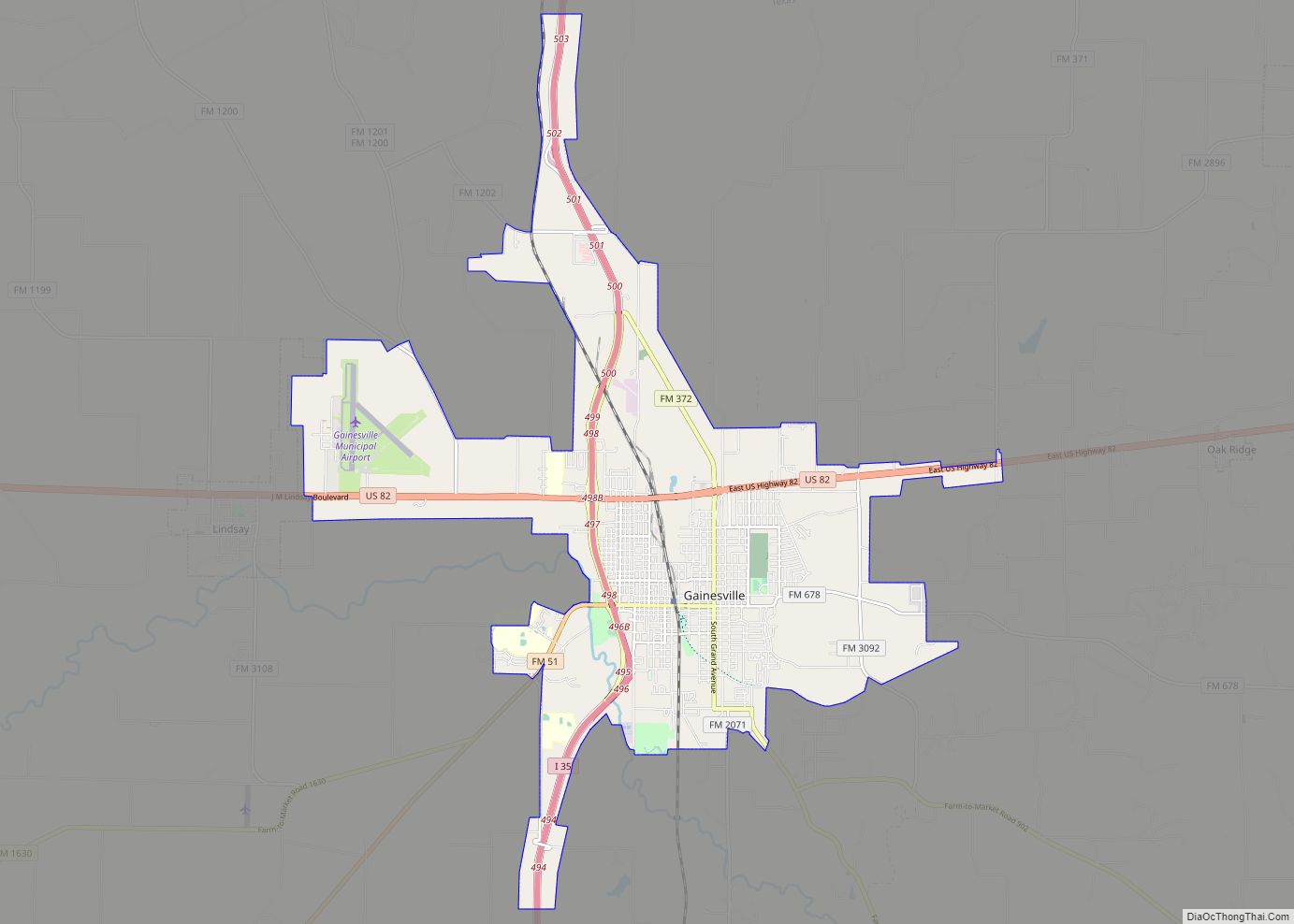
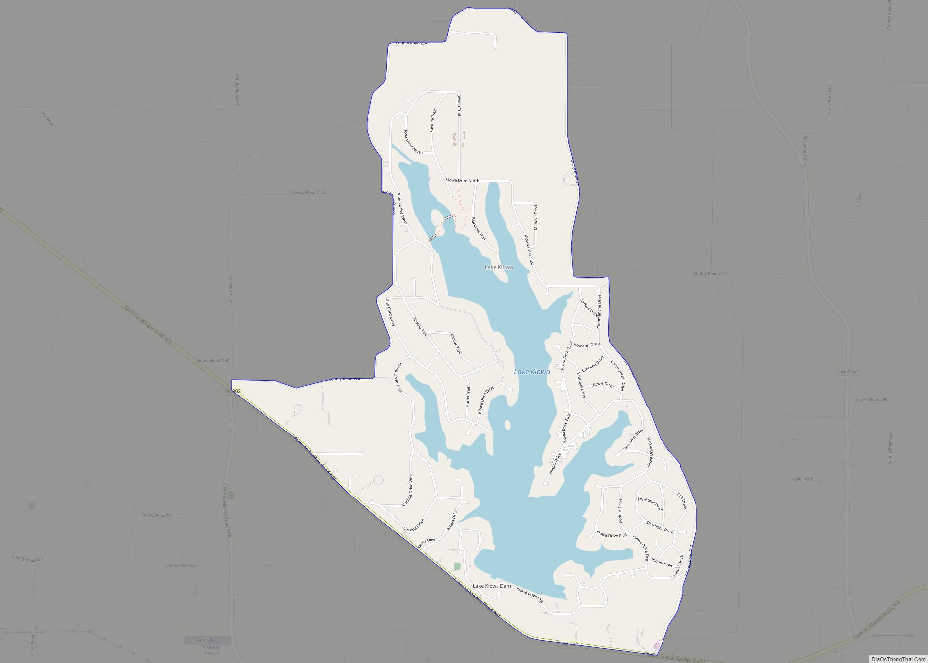
Map of Texas State and its subdivision:- Anderson
- Andrews
- Angelina
- Aransas
- Archer
- Armstrong
- Atascosa
- Austin
- Bailey
- Bandera
- Bastrop
- Baylor
- Bee
- Bell
- Bexar
- Blanco
- Borden
- Bosque
- Bowie
- Brazoria
- Brazos
- Brewster
- Briscoe
- Brooks
- Brown
- Burleson
- Burnet
- Caldwell
- Calhoun
- Callahan
- Cameron
- Camp
- Carson
- Cass
- Castro
- Chambers
- Cherokee
- Childress
- Clay
- Cochran
- Coke
- Coleman
- Collin
- Collingsworth
- Colorado
- Comal
- Comanche
- Concho
- Cooke
- Coryell
- Cottle
- Crane
- Crockett
- Crosby
- Culberson
- Dallam
- Dallas
- Dawson
- Deaf Smith
- Delta
- Denton
- Dewitt
- Dickens
- Dimmit
- Donley
- Duval
- Eastland
- Ector
- Edwards
- El Paso
- Ellis
- Erath
- Falls
- Fannin
- Fayette
- Fisher
- Floyd
- Foard
- Fort Bend
- Franklin
- Freestone
- Frio
- Gaines
- Galveston
- Garza
- Gillespie
- Glasscock
- Goliad
- Gonzales
- Gray
- Grayson
- Gregg
- Grimes
- Guadalupe
- Hale
- Hall
- Hamilton
- Hansford
- Hardeman
- Hardin
- Harris
- Harrison
- Hartley
- Haskell
- Hays
- Hemphill
- Henderson
- Hidalgo
- Hill
- Hockley
- Hood
- Hopkins
- Houston
- Howard
- Hudspeth
- Hunt
- Hutchinson
- Irion
- Jack
- Jackson
- Jasper
- Jeff Davis
- Jefferson
- Jim Hogg
- Jim Wells
- Johnson
- Jones
- Karnes
- Kaufman
- Kendall
- Kenedy
- Kent
- Kerr
- Kimble
- King
- Kinney
- Kleberg
- Knox
- La Salle
- Lamar
- Lamb
- Lampasas
- Lavaca
- Lee
- Leon
- Liberty
- Limestone
- Lipscomb
- Live Oak
- Llano
- Loving
- Lubbock
- Lynn
- Madison
- Marion
- Martin
- Mason
- Matagorda
- Maverick
- McCulloch
- McLennan
- McMullen
- Medina
- Menard
- Midland
- Milam
- Mills
- Mitchell
- Montague
- Montgomery
- Moore
- Morris
- Motley
- Nacogdoches
- Navarro
- Newton
- Nolan
- Nueces
- Ochiltree
- Oldham
- Orange
- Palo Pinto
- Panola
- Parker
- Parmer
- Pecos
- Polk
- Potter
- Presidio
- Rains
- Randall
- Reagan
- Real
- Red River
- Reeves
- Refugio
- Roberts
- Robertson
- Rockwall
- Runnels
- Rusk
- Sabine
- San Augustine
- San Jacinto
- San Patricio
- San Saba
- Schleicher
- Scurry
- Shackelford
- Shelby
- Sherman
- Smith
- Somervell
- Starr
- Stephens
- Sterling
- Stonewall
- Sutton
- Swisher
- Tarrant
- Taylor
- Terrell
- Terry
- Throckmorton
- Titus
- Tom Green
- Travis
- Trinity
- Tyler
- Upshur
- Upton
- Uvalde
- Val Verde
- Van Zandt
- Victoria
- Walker
- Waller
- Ward
- Washington
- Webb
- Wharton
- Wheeler
- Wichita
- Wilbarger
- Willacy
- Williamson
- Wilson
- Winkler
- Wise
- Wood
- Yoakum
- Young
- Zapata
- Zavala
- Alabama
- Alaska
- Arizona
- Arkansas
- California
- Colorado
- Connecticut
- Delaware
- District of Columbia
- Florida
- Georgia
- Hawaii
- Idaho
- Illinois
- Indiana
- Iowa
- Kansas
- Kentucky
- Louisiana
- Maine
- Maryland
- Massachusetts
- Michigan
- Minnesota
- Mississippi
- Missouri
- Montana
- Nebraska
- Nevada
- New Hampshire
- New Jersey
- New Mexico
- New York
- North Carolina
- North Dakota
- Ohio
- Oklahoma
- Oregon
- Pennsylvania
- Rhode Island
- South Carolina
- South Dakota
- Tennessee
- Texas
- Utah
- Vermont
- Virginia
- Washington
- West Virginia
- Wisconsin
- Wyoming