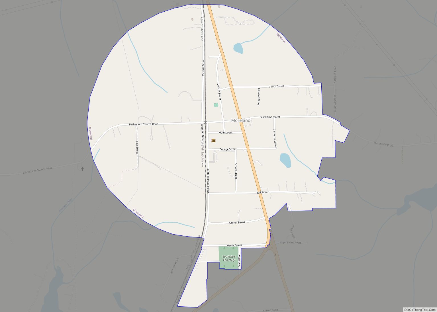
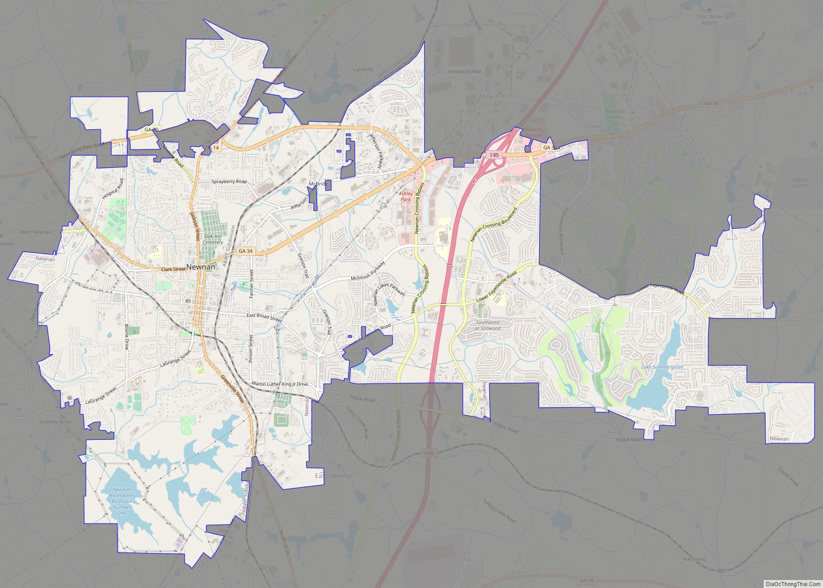
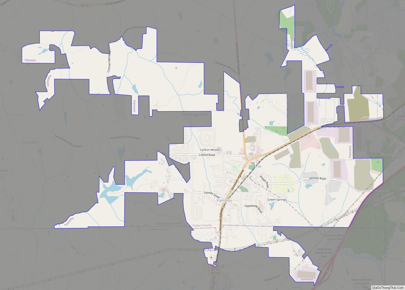
Coweta County /kaʊˈiːtə/ is a county located in the west central portion of the U.S. state of Georgia. It is part of Metro Atlanta. As of the 2020 census, the population was 146,158. The county seat is Newnan.
Coweta County is included in the Atlanta-Sandy Springs-Roswell, GA Metropolitan Statistical Area.
| Name: | Coweta County |
|---|---|
| FIPS code: | 13-077 |
| State: | Georgia |
| Founded: | 1826 |
| Seat: | Newnan |
| Largest city: | Newnan |
| Total Area: | 446 sq mi (1,160 km²) |
| Land Area: | 441 sq mi (1,140 km²) |
| Total Population: | 146,158 |
| Population Density: | 327/sq mi (126/km²) |
| Time zone: | UTC−5 (Eastern) |
| Summer Time Zone (DST): | UTC−4 (EDT) |
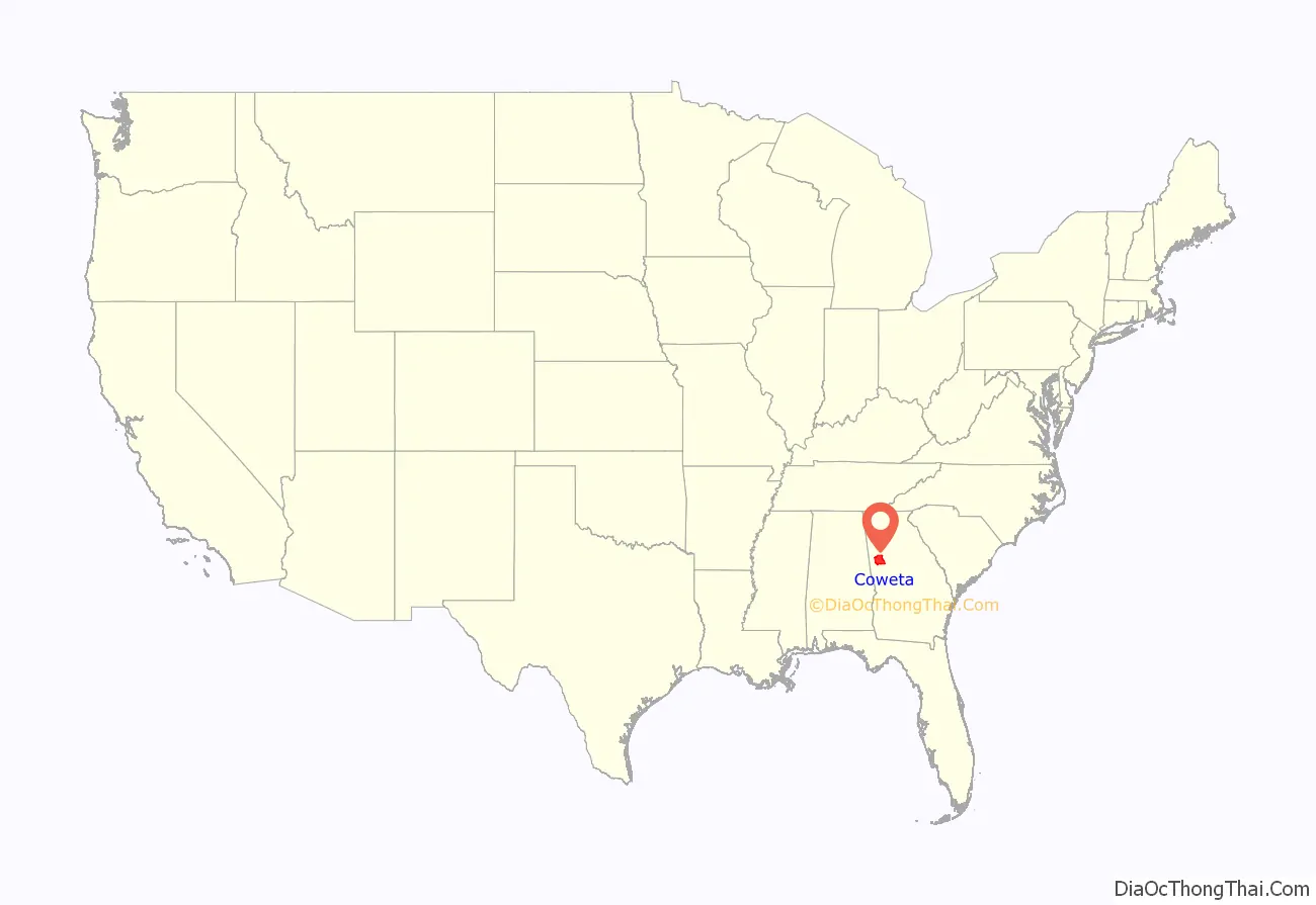
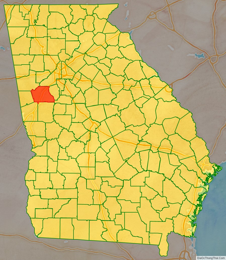
Coweta County location map. Where is Coweta County?
History
The land for Lee, Muscogee, Troup, Coweta and Carroll counties was ceded by the Creek people in the 1825 Treaty of Indian Springs. The counties’ boundaries were created by the Georgia General Assembly on June 9, 1826, but they were not named until December 14, 1826. Coweta County was named for the Koweta Indians (a sub-group of the Creek people), who had several towns in and around the present-day county.
In the city of Newnan, on April 23, 1899, a notorious lynching occurred after an African-American man by the name of Sam Hose (born Tom Wilkes) was accused of killing his boss, Alfred Cranford. Hose was tortured and burned alive by a lynch mob of approximately 2,000 citizens of Coweta County.
On August 9, 1882, Aleck Brown was lynched.
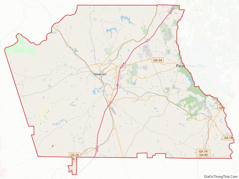
Coweta County Road Map
Geography
According to the U.S. Census Bureau, the county has a total area of 446 square miles (1,160 km), of which 441 square miles (1,140 km) is land and 4.9 square miles (13 km) (1.1%) is water. The county is located in the Piedmont region of the state.
The eastern half of Coweta County, from Palmetto southwest to Newnan, then south to Luthersville, is in the Upper Flint River sub-basin of the ACF River Basin (Apalachicola-Chattahoochee-Flint River Basin). The western half is in the Middle Chattahoochee River-Lake Harding sub-basin of the same ACF River Basin.
Major highways
- Interstate 85
U.S. Route 27 Alternate- U.S. Route 29
- State Route 14
- State Route 16
- State Route 34
- State Route 34 Bypass
- State Route 41
- State Route 54
- State Route 70
- State Route 74
- State Route 85
- State Route 154
- State Route 403
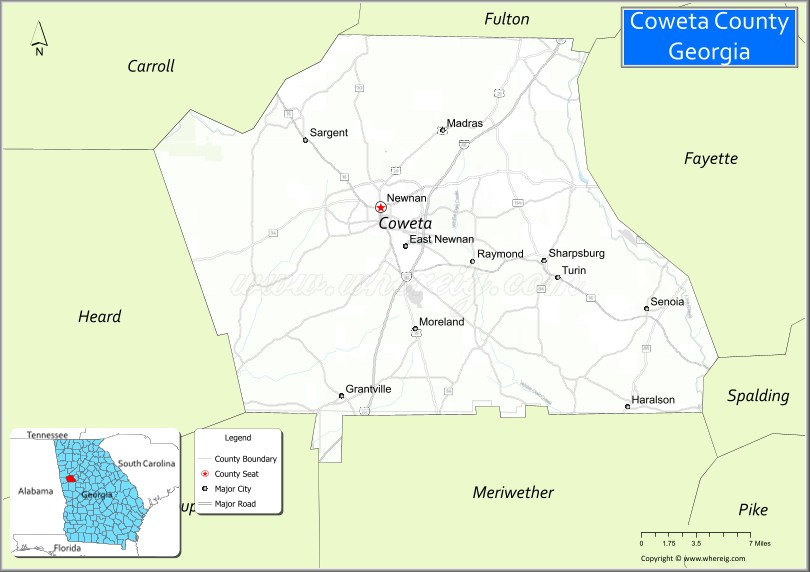
Adjacent counties
- Fulton County – northeast
- Fayette County – east
- Spalding County – southeast
- Meriwether County – south
- Troup County – southwest
- Heard County – west
- Carroll County – northwest
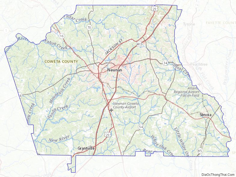
Coweta County Topographic Map
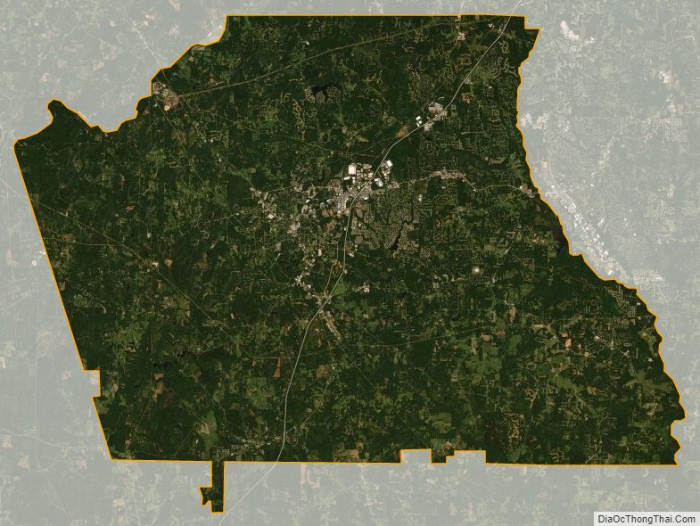
Coweta County Satellite Map
Coweta County Outline Map