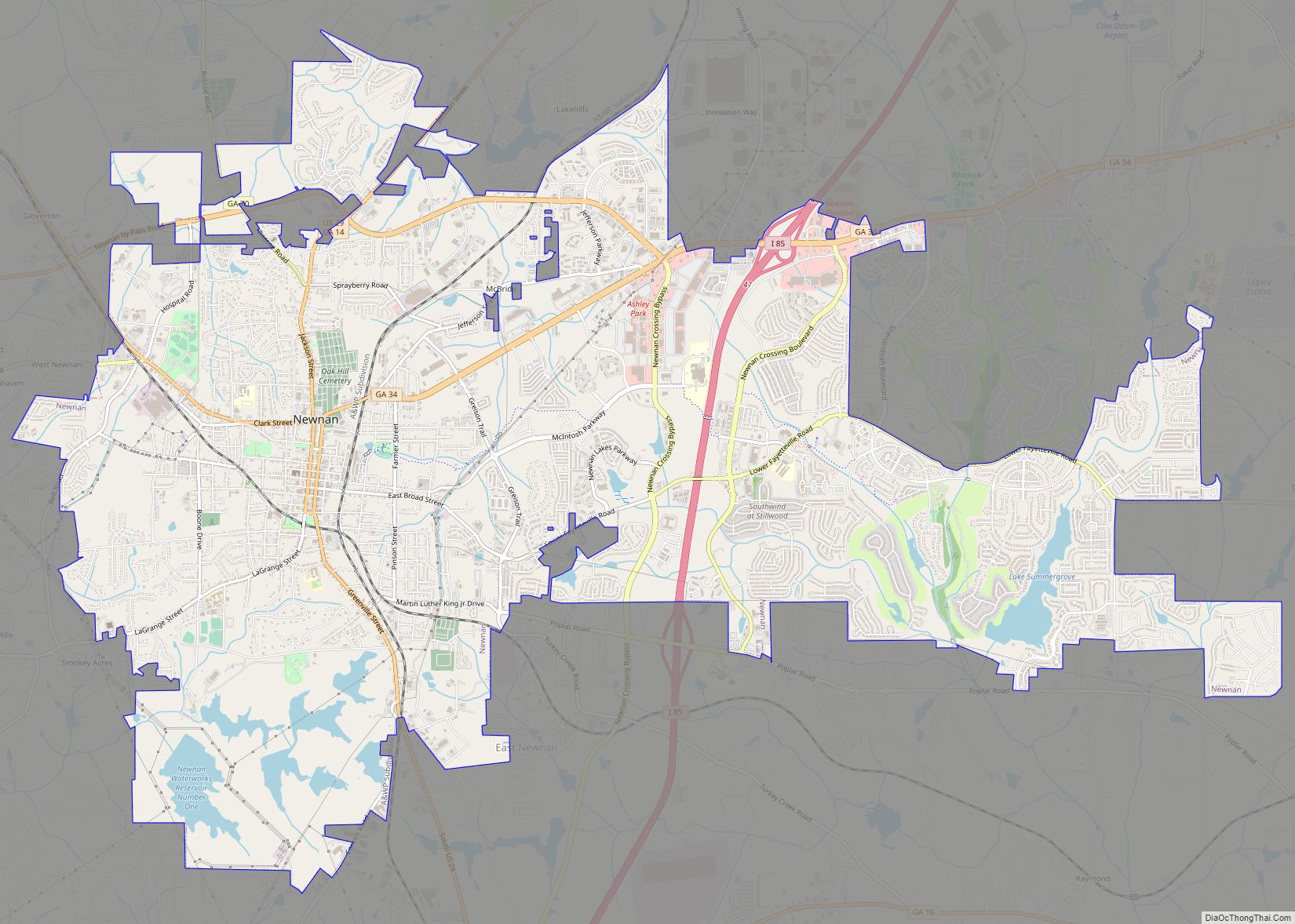
Newnan is a city in Metro Atlanta and the county seat of Coweta County, Georgia, about 40 miles (64 km) southwest of Atlanta. Its population was 42,549 at the 2020 census, up from 33,039 in 2010.
| Name: | Newnan city |
|---|---|
| LSAD Code: | 25 |
| LSAD Description: | city (suffix) |
| State: | Georgia |
| County: | Coweta County |
| Elevation: | 971 ft (296 m) |
| Total Area: | 19.82 sq mi (51.34 km²) |
| Land Area: | 19.48 sq mi (50.44 km²) |
| Water Area: | 0.35 sq mi (0.90 km²) |
| Total Population: | 42,549 |
| Population Density: | 2,184.80/sq mi (843.58/km²) |
| ZIP code: | 30263-30265, 30271 |
| Area code: | 770, 678 |
| FIPS code: | 1355020 |
| GNISfeature ID: | 0332499 |
| Website: | newnanga.gov |
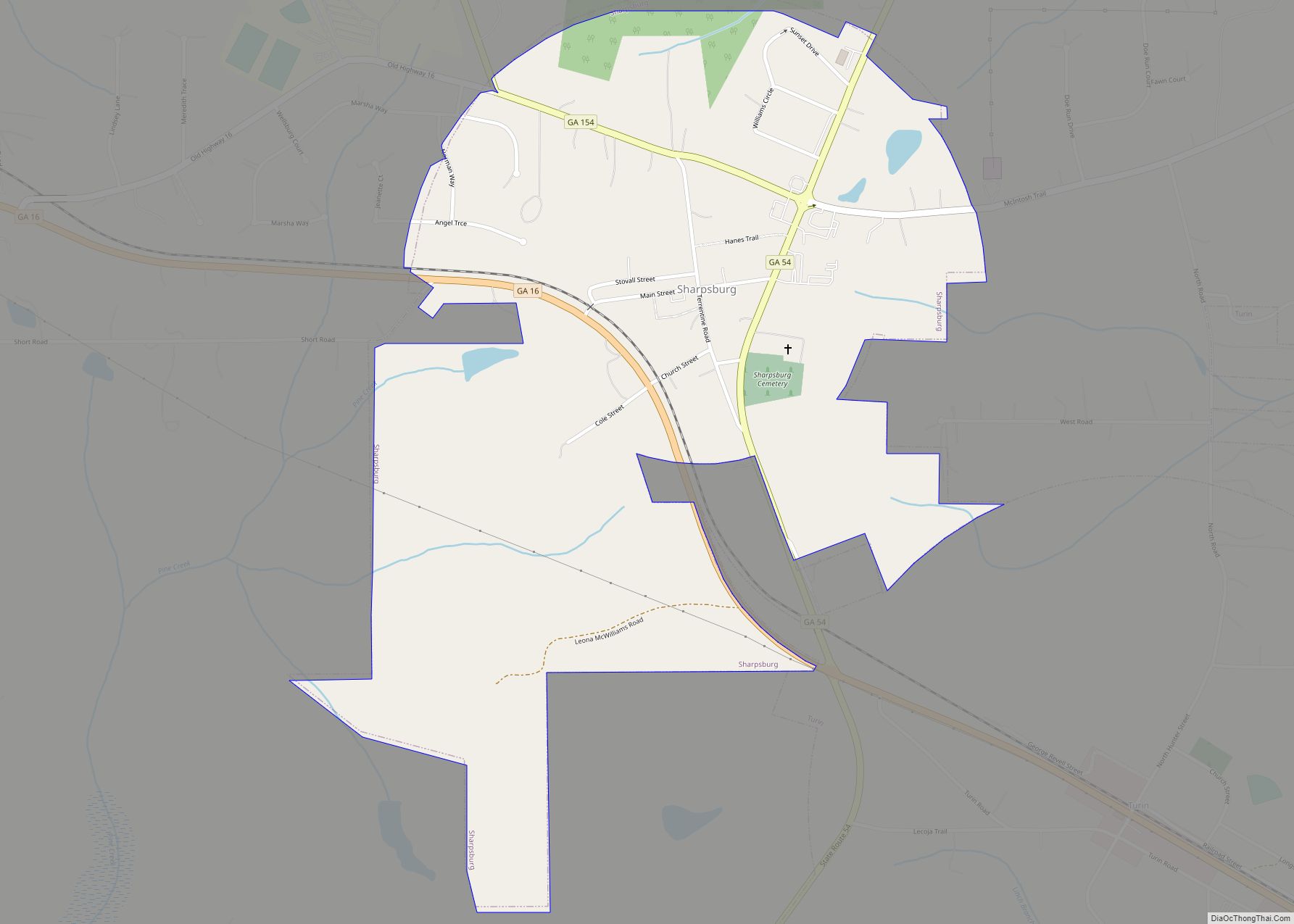
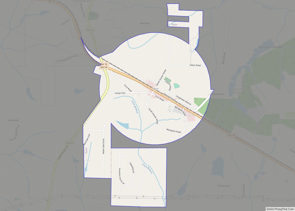
Online Interactive Map
Click on ![]() to view map in "full screen" mode.
to view map in "full screen" mode.
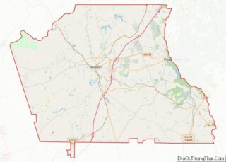
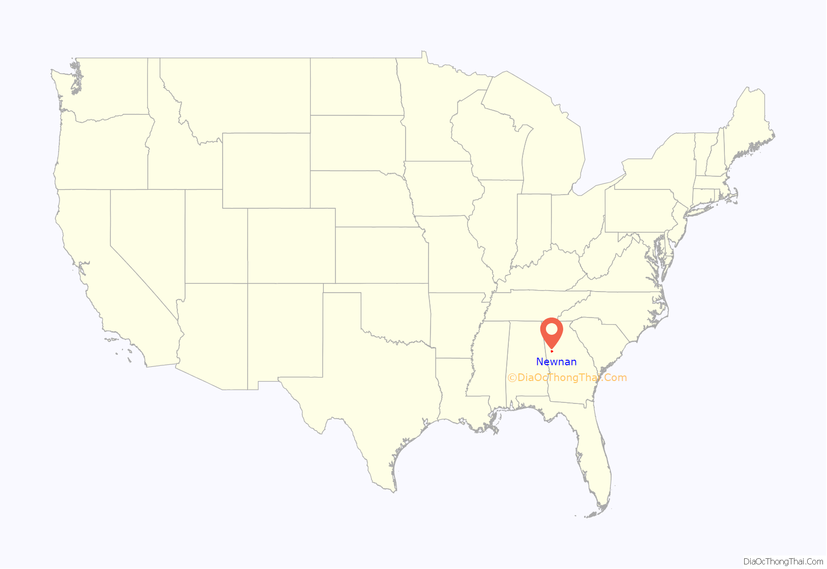
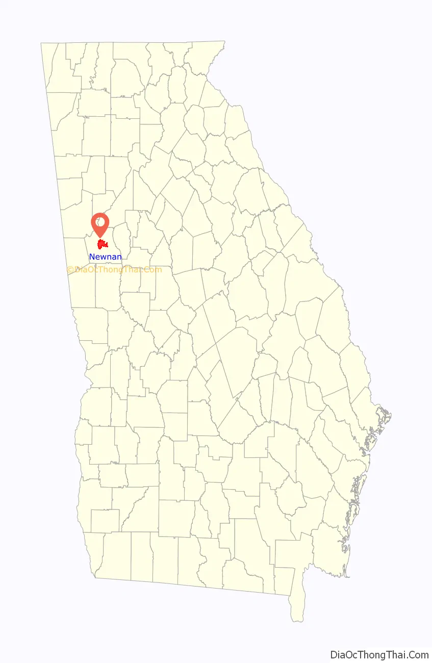
Newnan location map. Where is Newnan city?
History
Newnan was established as county seat of Coweta County (replacing the defunct town of Bullsboro) in 1828, and was named for North Carolinian General Daniel Newnan. It quickly became a prosperous magnet for lawyers, doctors, other professionals, and merchants. Much of Newnan’s prosperity was due to its thriving cotton industry, which relied on slavery.
Newnan was largely untouched by the Civil War due to its status as a hospital city (for both Union and Confederate troops), and as a result still features much antebellum architecture. Celebrated architect Kennon Perry designed many of the town’s 20th-century homes. During the Atlanta Campaign, Confederate cavalry defeated Union forces at the nearby Battle of Brown’s Mill.
On April 23, 1899, a notorious lynching occurred after an African-American man by the name of Sam Hose (born Tom Wilkes) was accused of killing his boss, Alfred Cranford. Hose was abducted from police custody, paraded through Newnan, tortured, and burned alive just north of town by a lynch mob of roughly 2,000 citizens of Coweta County.
Newnan was also host to the trial in 1948 of wealthy landowner John Wallace, the first White man in the South to be condemned to death by the testimony of African Americans, two field hands who were made to help with burning the body of murdered white sharecropper Wilson Turner. These events were portrayed in the novel Murder in Coweta County. The film version starred Johnny Cash, Andy Griffith, and June Carter.
In 1968, Kmart opened a warehouse in Newnan, which slowly established it as a major hub for distribution in the area. Around this time, the International Brotherhood of Teamsters attempted to unionize the warehouse, but the attempt was defeated when the employees voted 329 to 201 in favor of remaining union-free. In 2015, the distribution center closed with a loss of 164 jobs.
2021 tornado
In the early morning hours of March 26, 2021, Newnan was directly impacted by a violent EF4 tornado, which caused substantial structural damage and indirectly killed one person. The tornado was one of the strongest on record in Georgia since 1950, and directly impacted the historic downtown area. Newnan High School will be re-built after sustaining serious damage.
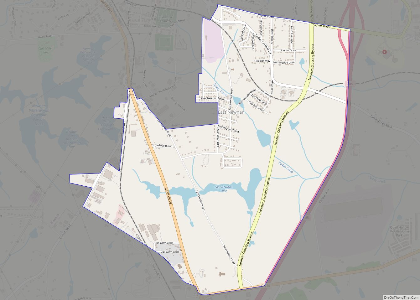
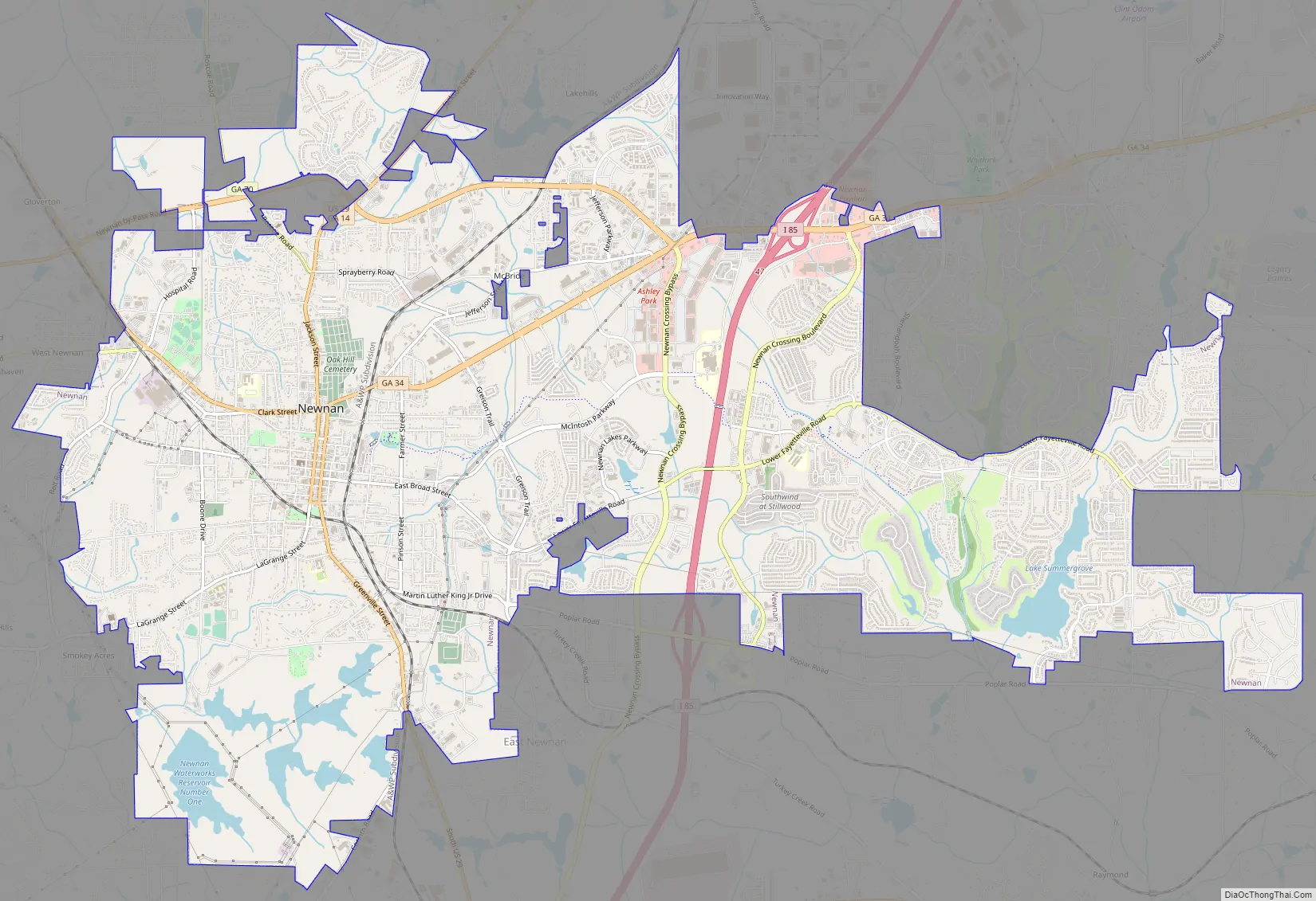
Newnan Road Map
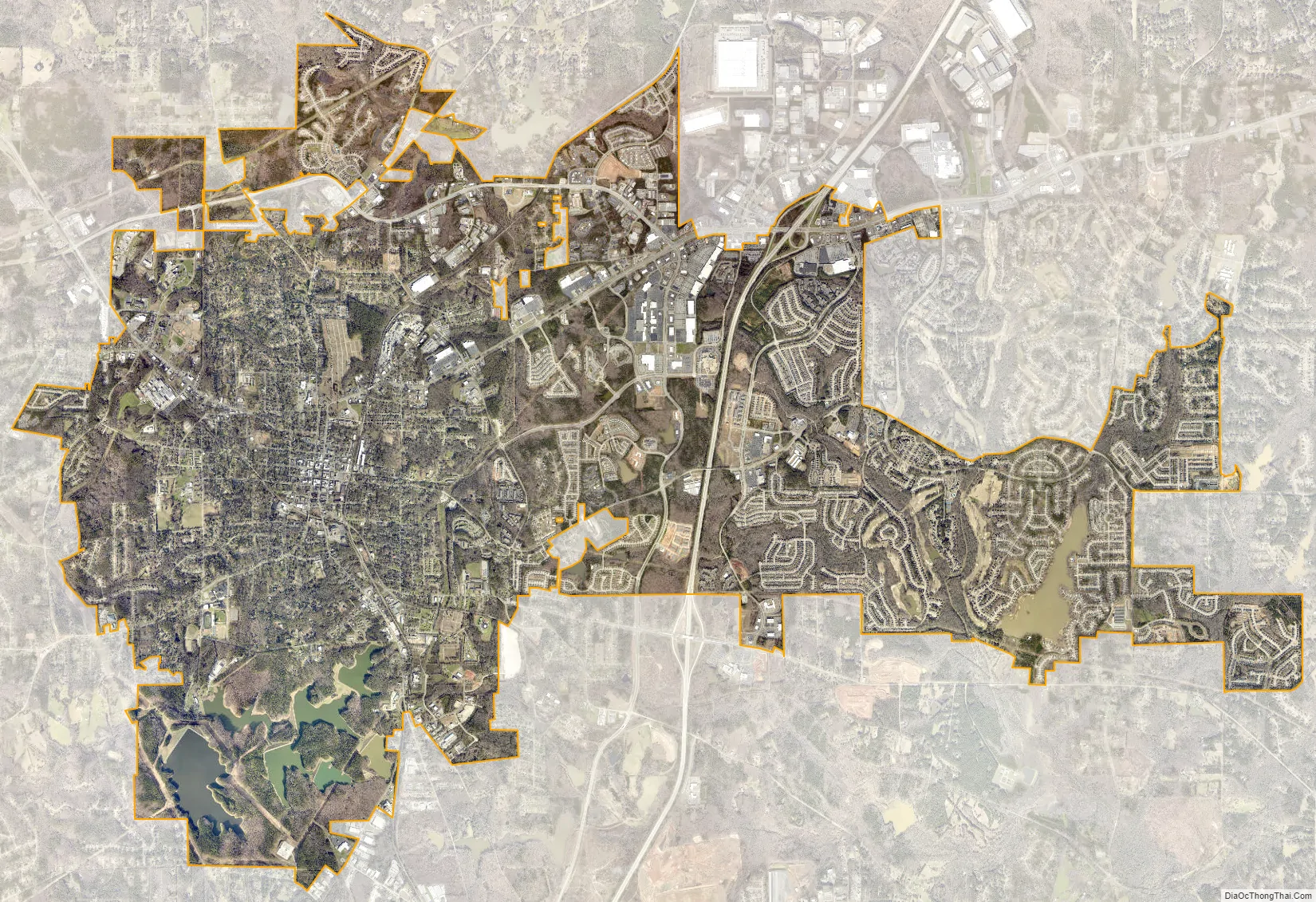
Newnan city Satellite Map
Geography
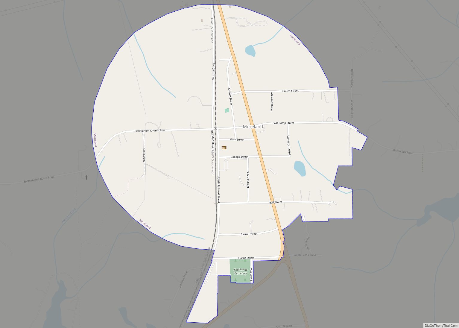
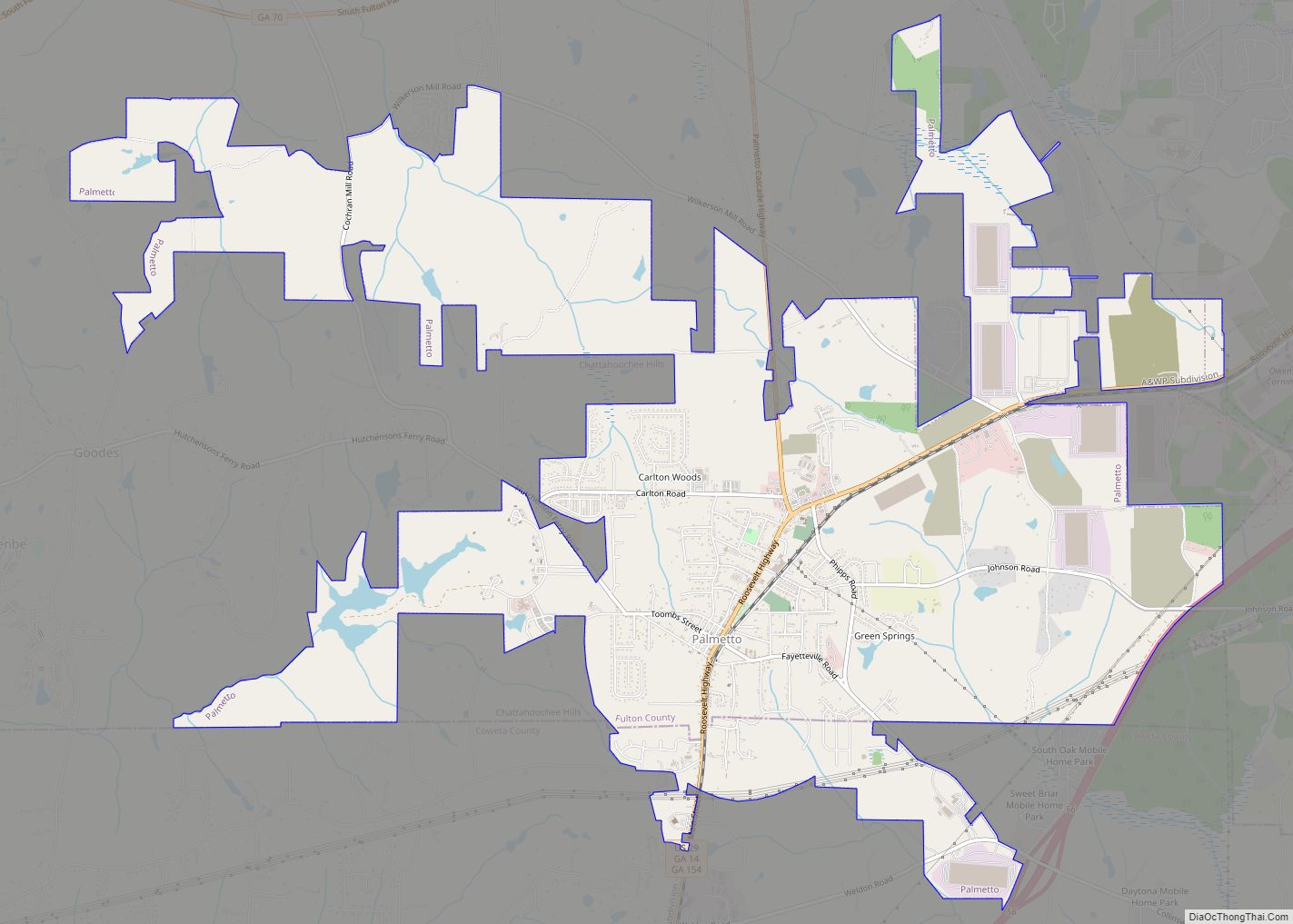
Newnan is located in the center of Coweta County at 33°22′35″N 84°47′19″W / 33.37639°N 84.78861°W / 33.37639; -84.78861 (33.376411, -84.788648). U.S. Route 29 passes through the center of the city, leading northeast 13 miles (21 km) to Palmetto and south 7 miles (11 km) to Moreland. Interstate 85 passes through the eastern side of the city, with access from exits 41, 44, and 47. I-85 leads northeast 40 miles (64 km) to downtown Atlanta and southwest 125 miles (201 km) to Montgomery, Alabama. U.S. Route 27A leads northwest from the center of Newnan 22 miles (35 km) to Carrollton.
According to the United States Census Bureau, Newnan has a total area of 18.6 square miles (48.3 km), of which 0.35 square miles (0.9 km), or 1.88%, is covered by water.
Climate
The climate is moderate with an average temperature of 64.3°F (45.8° in the winter and 79.1° in the summer). The average annual rainfall is 51.84 inches.
See also
Map of Georgia State and its subdivision:- Appling
- Atkinson
- Bacon
- Baker
- Baldwin
- Banks
- Barrow
- Bartow
- Ben Hill
- Berrien
- Bibb
- Bleckley
- Brantley
- Brooks
- Bryan
- Bulloch
- Burke
- Butts
- Calhoun
- Camden
- Candler
- Carroll
- Catoosa
- Charlton
- Chatham
- Chattahoochee
- Chattooga
- Cherokee
- Clarke
- Clay
- Clayton
- Clinch
- Cobb
- Coffee
- Colquitt
- Columbia
- Cook
- Coweta
- Crawford
- Crisp
- Dade
- Dawson
- Decatur
- DeKalb
- Dodge
- Dooly
- Dougherty
- Douglas
- Early
- Echols
- Effingham
- Elbert
- Emanuel
- Evans
- Fannin
- Fayette
- Floyd
- Forsyth
- Franklin
- Fulton
- Gilmer
- Glascock
- Glynn
- Gordon
- Grady
- Greene
- Gwinnett
- Habersham
- Hall
- Hancock
- Haralson
- Harris
- Hart
- Heard
- Henry
- Houston
- Irwin
- Jackson
- Jasper
- Jeff Davis
- Jefferson
- Jenkins
- Johnson
- Jones
- Lamar
- Lanier
- Laurens
- Lee
- Liberty
- Lincoln
- Long
- Lowndes
- Lumpkin
- Macon
- Madison
- Marion
- McDuffie
- McIntosh
- Meriwether
- Miller
- Mitchell
- Monroe
- Montgomery
- Morgan
- Murray
- Muscogee
- Newton
- Oconee
- Oglethorpe
- Paulding
- Peach
- Pickens
- Pierce
- Pike
- Polk
- Pulaski
- Putnam
- Quitman
- Rabun
- Randolph
- Richmond
- Rockdale
- Schley
- Screven
- Seminole
- Spalding
- Stephens
- Stewart
- Sumter
- Talbot
- Taliaferro
- Tattnall
- Taylor
- Telfair
- Terrell
- Thomas
- Tift
- Toombs
- Towns
- Treutlen
- Troup
- Turner
- Twiggs
- Union
- Upson
- Walker
- Walton
- Ware
- Warren
- Washington
- Wayne
- Webster
- Wheeler
- White
- Whitfield
- Wilcox
- Wilkes
- Wilkinson
- Worth
- Alabama
- Alaska
- Arizona
- Arkansas
- California
- Colorado
- Connecticut
- Delaware
- District of Columbia
- Florida
- Georgia
- Hawaii
- Idaho
- Illinois
- Indiana
- Iowa
- Kansas
- Kentucky
- Louisiana
- Maine
- Maryland
- Massachusetts
- Michigan
- Minnesota
- Mississippi
- Missouri
- Montana
- Nebraska
- Nevada
- New Hampshire
- New Jersey
- New Mexico
- New York
- North Carolina
- North Dakota
- Ohio
- Oklahoma
- Oregon
- Pennsylvania
- Rhode Island
- South Carolina
- South Dakota
- Tennessee
- Texas
- Utah
- Vermont
- Virginia
- Washington
- West Virginia
- Wisconsin
- Wyoming