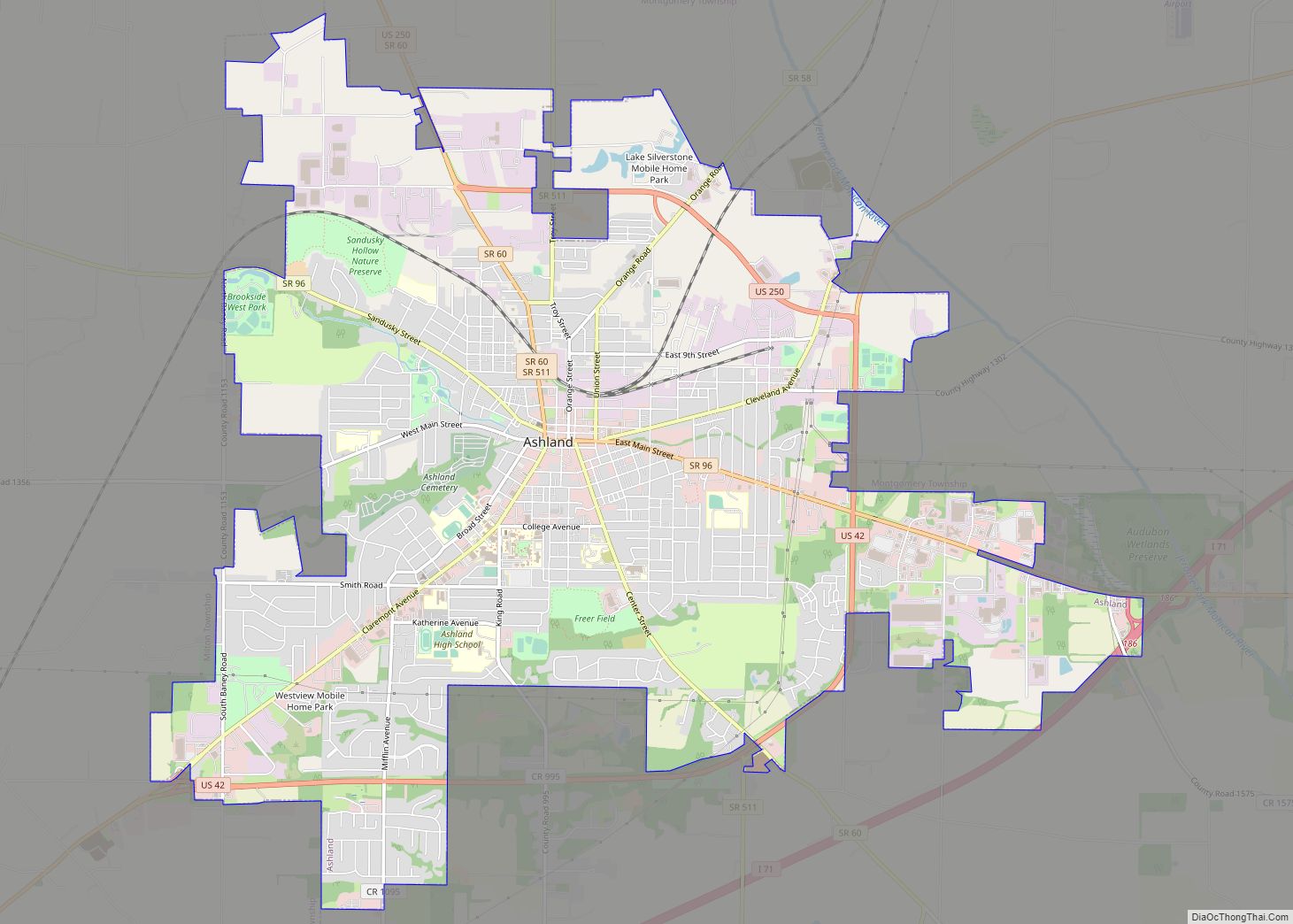
Ashland is a city in and the county seat of Ashland County, Ohio, United States, 66 miles southwest of Cleveland and 82 miles northeast of Columbus. The population was 19,225 at the 2020 census. It is the center of the Ashland Micropolitan Statistical Area (as defined by the United States Census Bureau in 2003).
Ashland was designated a Tree City USA by the National Arbor Day Foundation in 1984.
| Name: | Ashland city |
|---|---|
| LSAD Code: | 25 |
| LSAD Description: | city (suffix) |
| State: | Ohio |
| County: | Ashland County |
| Elevation: | 1,066 ft (325 m) |
| Total Area: | 11.35 sq mi (29.39 km²) |
| Land Area: | 11.28 sq mi (29.22 km²) |
| Water Area: | 0.06 sq mi (0.16 km²) |
| Total Population: | 19,225 |
| Population Density: | 1,703.74/sq mi (657.84/km²) |
| ZIP code: | 44805 |
| FIPS code: | 3902568 |
| GNISfeature ID: | 1060832 |
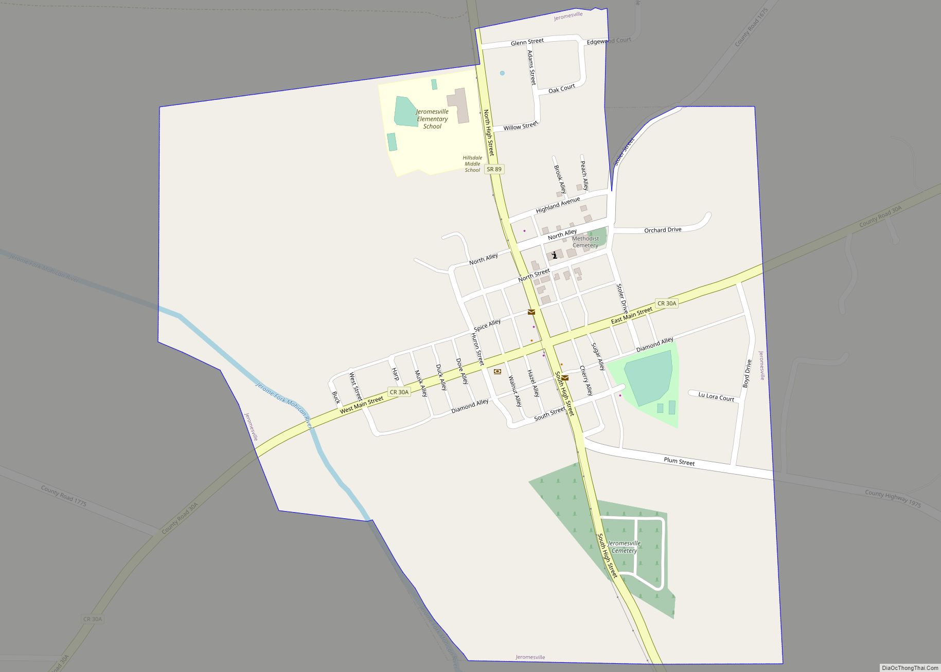
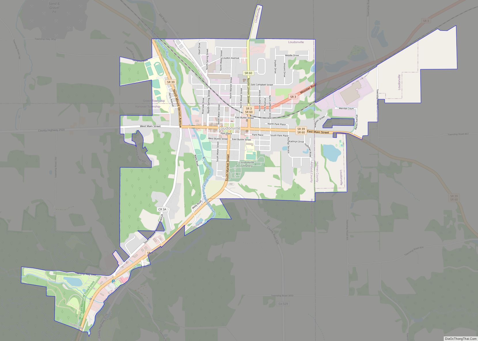
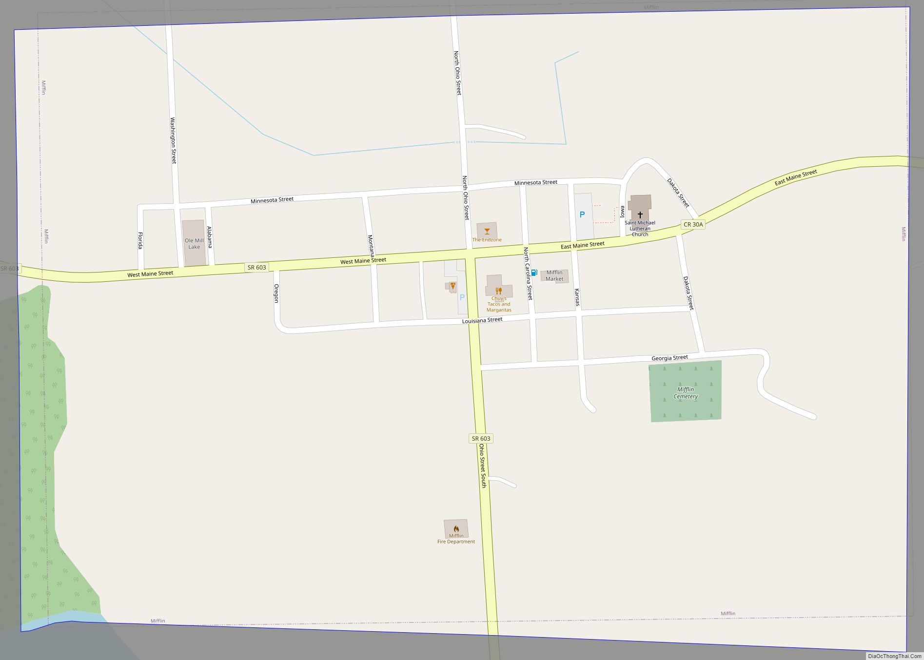
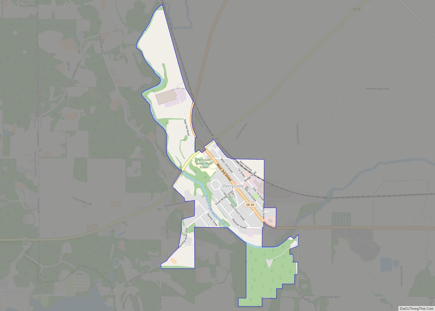
Online Interactive Map
Click on ![]() to view map in "full screen" mode.
to view map in "full screen" mode.
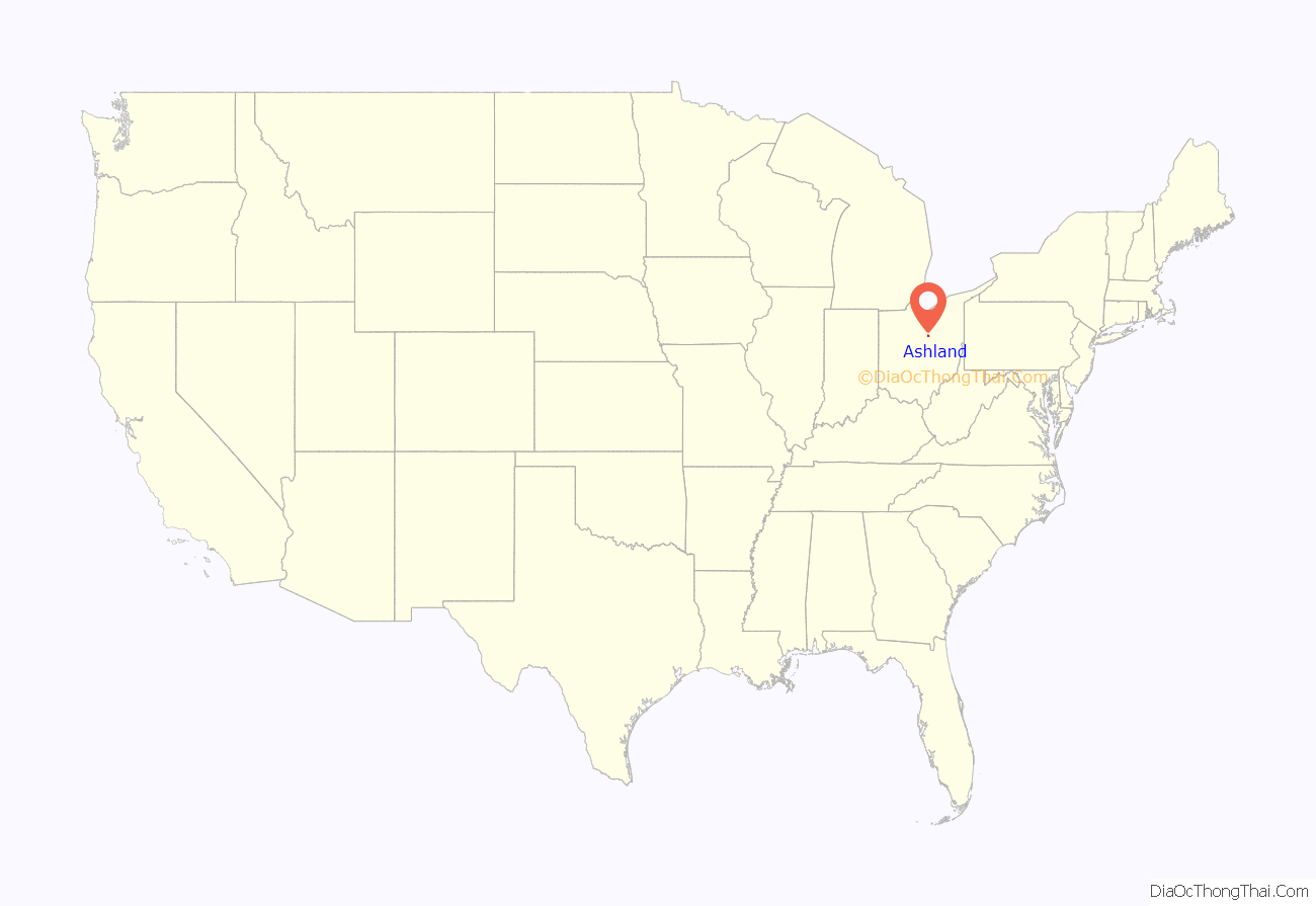
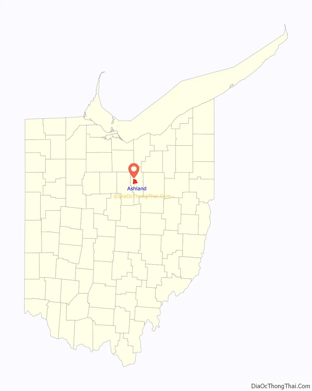
Ashland location map. Where is Ashland city?
History
Ashland was laid out by Daniel Carter in 1815. Ashland was originally called Uniontown, but in 1822 the city was compelled to adopt a new name because another city in Ohio was already named Uniontown. The new name of Ashland was selected by supporters of the Kentucky congressman Henry Clay, from Ashland, his estate near Lexington. Later, “Henry Clay High School” was considered as a name for what is now known as Ashland High School.
In the mid-1800s, Ashland pioneers traveled to Oregon, naming a settlement after the town. In 1878, with financial assistance from the city, the German Baptist Brethren Church opened Ashland College. Ashland became an early center of manufacturing in Ohio. In 1870, brothers Francis E. Myers and Philip A. Myers went into business selling farm equipment and operating a repair shop. They secured the patent for a double-action pump that delivered water in a steady stream rather than spurts. By 1915, F.E. Myers & Bro. had 800 workers. Myers was the largest of the 47 factories in Ashland at that time. Other factories included Reliable Match Co. (“Strike Anywhere Matches”), Kauffman Mfg. Co. (manufacturer of folding chairs used in Union Army encampments), Dr. Hess & Clark (veterinary supplies and disinfectants) and T.W. Miller’s Faultless Rubber Co. (rubber sundries, surgical goods and bicycle tires).
In 1912, Harry Ross Gill, an Ashland native, invented the way to make cigar-shaped balloons (until then they were only round). He started the Eagle Rubber Company in 1913 and the National Latex company in 1929. The industry that Gill developed in Ashland led to the city becoming known as “the balloon capital of the world.” Ashland still celebrates its balloon heritage with its annual BalloonFest.
Ashland Road Map
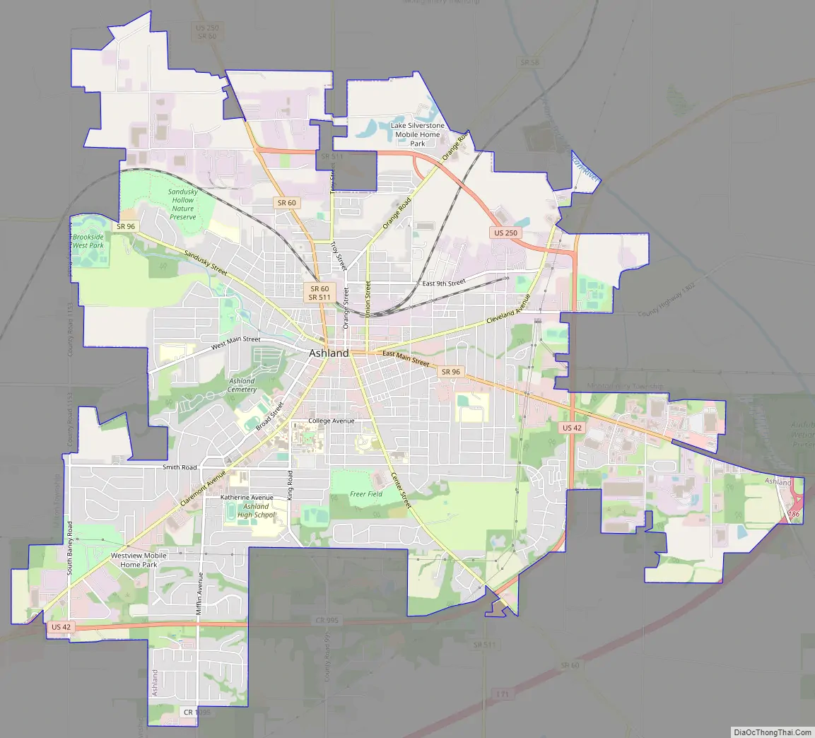
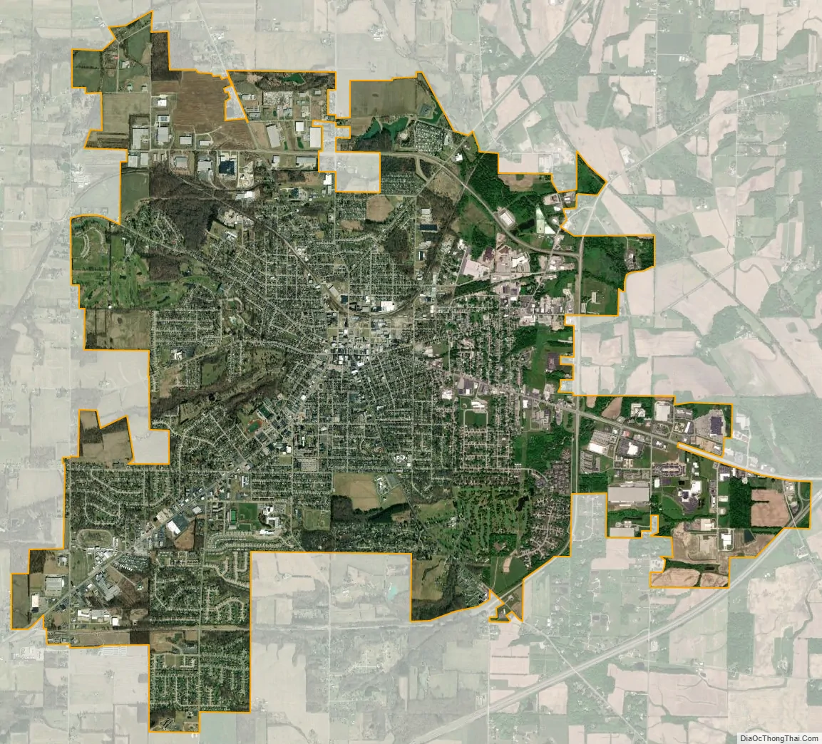
Ashland city Satellite Map
Geography
Ashland is at 40°52′1″N 82°18′55″W / 40.86694°N 82.31528°W / 40.86694; -82.31528 (40.867016, -82.315146).
According to the 2010 census, the city has an area of 11.23 square miles (29.1 km), of which 11.17 square miles (28.9 km) (or 99.47%) is land and 0.06 square miles (0.16 km) (or 0.53%) is water.
The city has 85.6 miles (137.8 km) of streets, one hospital, two fire stations, one police station, and five parks.
See also
Map of Ohio State and its subdivision:- Adams
- Allen
- Ashland
- Ashtabula
- Athens
- Auglaize
- Belmont
- Brown
- Butler
- Carroll
- Champaign
- Clark
- Clermont
- Clinton
- Columbiana
- Coshocton
- Crawford
- Cuyahoga
- Darke
- Defiance
- Delaware
- Erie
- Fairfield
- Fayette
- Franklin
- Fulton
- Gallia
- Geauga
- Greene
- Guernsey
- Hamilton
- Hancock
- Hardin
- Harrison
- Henry
- Highland
- Hocking
- Holmes
- Huron
- Jackson
- Jefferson
- Knox
- Lake
- Lake Erie
- Lawrence
- Licking
- Logan
- Lorain
- Lucas
- Madison
- Mahoning
- Marion
- Medina
- Meigs
- Mercer
- Miami
- Monroe
- Montgomery
- Morgan
- Morrow
- Muskingum
- Noble
- Ottawa
- Paulding
- Perry
- Pickaway
- Pike
- Portage
- Preble
- Putnam
- Richland
- Ross
- Sandusky
- Scioto
- Seneca
- Shelby
- Stark
- Summit
- Trumbull
- Tuscarawas
- Union
- Van Wert
- Vinton
- Warren
- Washington
- Wayne
- Williams
- Wood
- Wyandot
- Alabama
- Alaska
- Arizona
- Arkansas
- California
- Colorado
- Connecticut
- Delaware
- District of Columbia
- Florida
- Georgia
- Hawaii
- Idaho
- Illinois
- Indiana
- Iowa
- Kansas
- Kentucky
- Louisiana
- Maine
- Maryland
- Massachusetts
- Michigan
- Minnesota
- Mississippi
- Missouri
- Montana
- Nebraska
- Nevada
- New Hampshire
- New Jersey
- New Mexico
- New York
- North Carolina
- North Dakota
- Ohio
- Oklahoma
- Oregon
- Pennsylvania
- Rhode Island
- South Carolina
- South Dakota
- Tennessee
- Texas
- Utah
- Vermont
- Virginia
- Washington
- West Virginia
- Wisconsin
- Wyoming