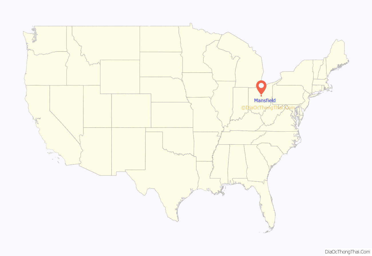
Mansfield is a city in and the county seat of Richland County, Ohio, United States. Located midway between Columbus and Cleveland via Interstate 71, it is part of Northeast Ohio region in the western foothills of the Allegheny Plateau. The city lies approximately 65 miles (105 km) southwest of Cleveland, 45 miles (72 km) southwest of Akron and 65 miles (105 km) northeast of Columbus.
The city was founded in 1808 on a fork of the Mohican River in a hilly region surrounded by fertile farmlands, and became a manufacturing center owing to its location with numerous railroad lines. After the decline of heavy manufacturing, the city’s economy has since diversified into a service economy, including retailing, education, and healthcare sectors. The 2020 Census showed that the city had a total population of 47,534, making it the 21st-largest city in Ohio. The city anchors the Mansfield Metropolitan Statistical Area (MSA), which had a population of 124,936 residents in 2020, while the Mansfield–Bucyrus, OH Combined Statistical Area (CSA) had 219,408 residents.
Mansfield’s official nickname is “The Fun Center of Ohio”. It is the largest city in the Mid-Ohio region of the state, the north-central region which is generally considered to extend from Marion, Delaware, Knox, Morrow, Crawford, Ashland and Richland counties in the south, to the Firelands area south of Sandusky in the north. Mansfield is also known as the “Carousel Capital of Ohio,” “Danger City,” “Little Flint,” “Little Detroit,” “Little Chicago,” “The Queen of Ohio,” and “Racing Capital of Ohio”.
Anchored by the Richland Carousel District, downtown Mansfield is home to a number of attractions and arts venues. Concert events in the downtown Brickyard venue have drawn crowds numbering over 5,000 people. Mansfield, in partnership with local and national partners, is addressing blight and economic stagnation in the city center. The Renaissance Performing Arts Association at home in the historic Renaissance Theatre annually presents and produces Broadway-style productions, classical music, comedy, arts education programs, concerts, lectures, and family events to more than 50,000 people. The Renaissance Performing Arts is home of the Mansfield Symphony Orchestra. Downtown is also home to two ballet companies, NEOS Ballet Theatre and Richland Academy Dance Ensemble who both perform and offer community dance opportunities in downtown. Mid-Ohio Opera offers performances of full opera and smaller concerts.
| Name: | Mansfield city |
|---|---|
| LSAD Code: | 25 |
| LSAD Description: | city (suffix) |
| State: | Ohio |
| County: | Richland County |
| Founded: | June 11, 1808 |
| Incorporated: | 1828 (village) |
| Elevation: | 1,240 ft (378 m) |
| Land Area: | 30.83 sq mi (79.86 km²) |
| Water Area: | 0.06 sq mi (0.15 km²) |
| Population Density: | 1,541.66/sq mi (595.23/km²) |
| ZIP code: | 44900-44999 |
| Area code: | 419/567 |
| FIPS code: | 3947138 |
| GNISfeature ID: | 1056410 |
| Website: | www.ci.mansfield.oh.us |
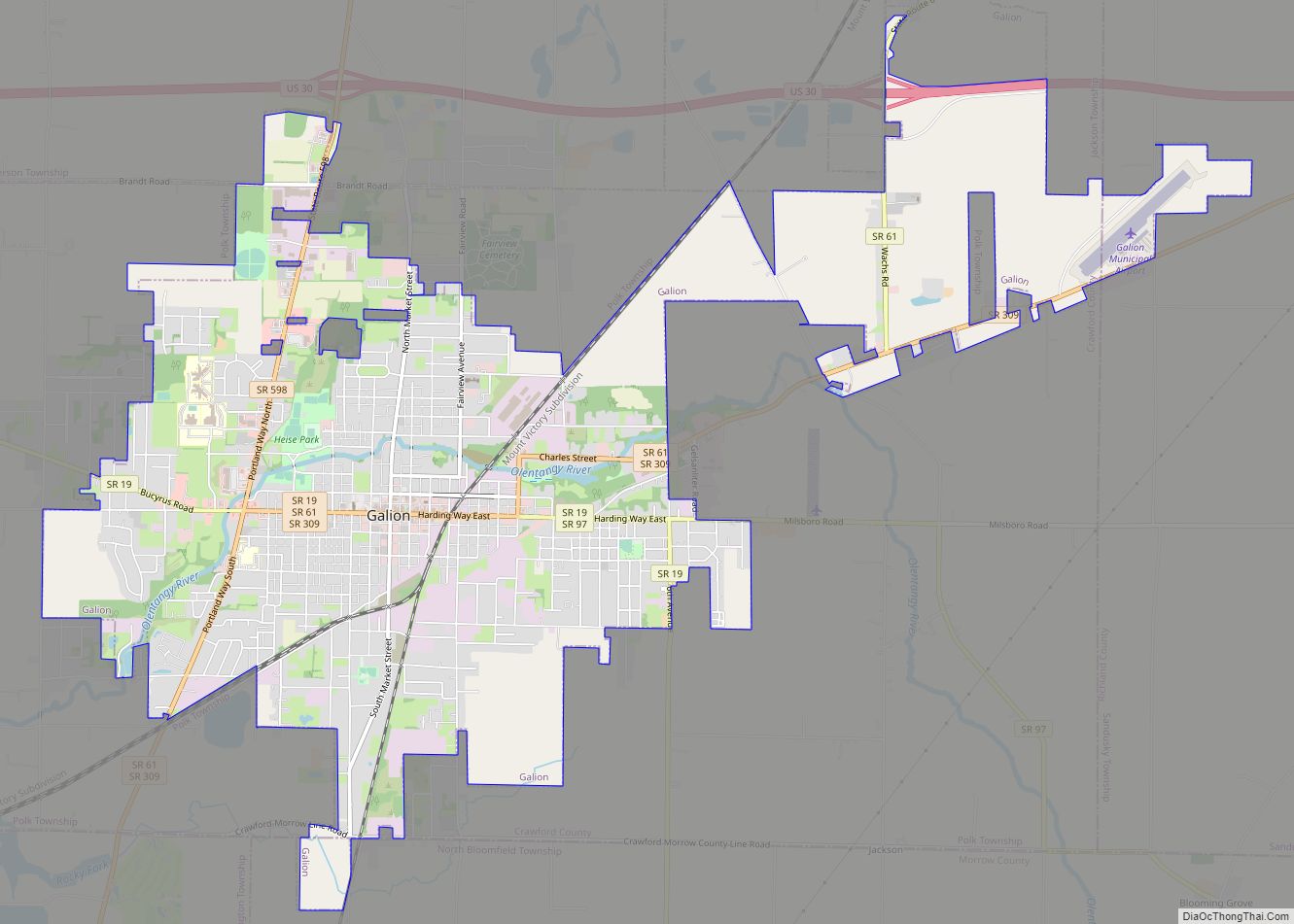
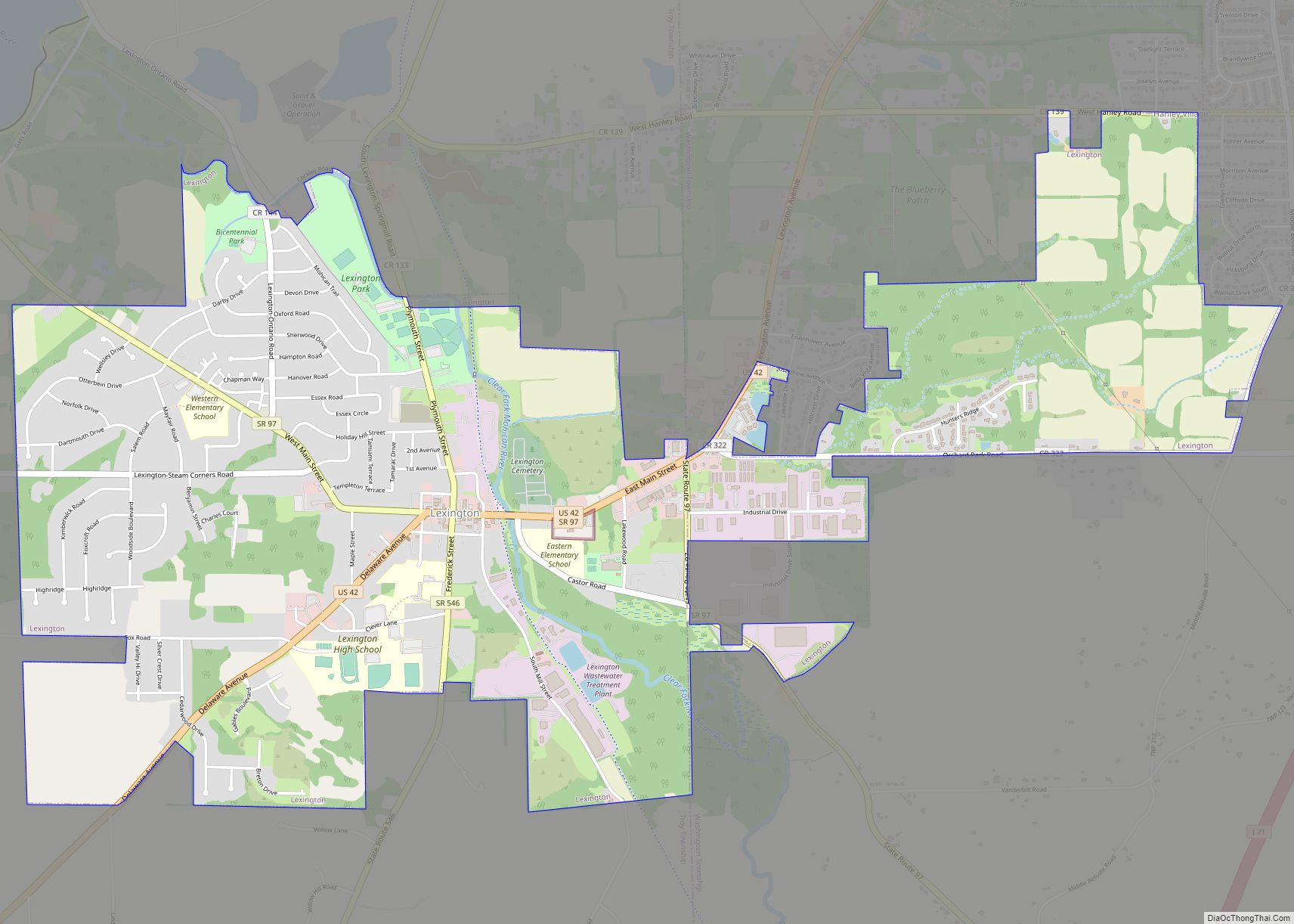
Online Interactive Map
Click on ![]() to view map in "full screen" mode.
to view map in "full screen" mode.
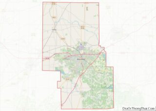
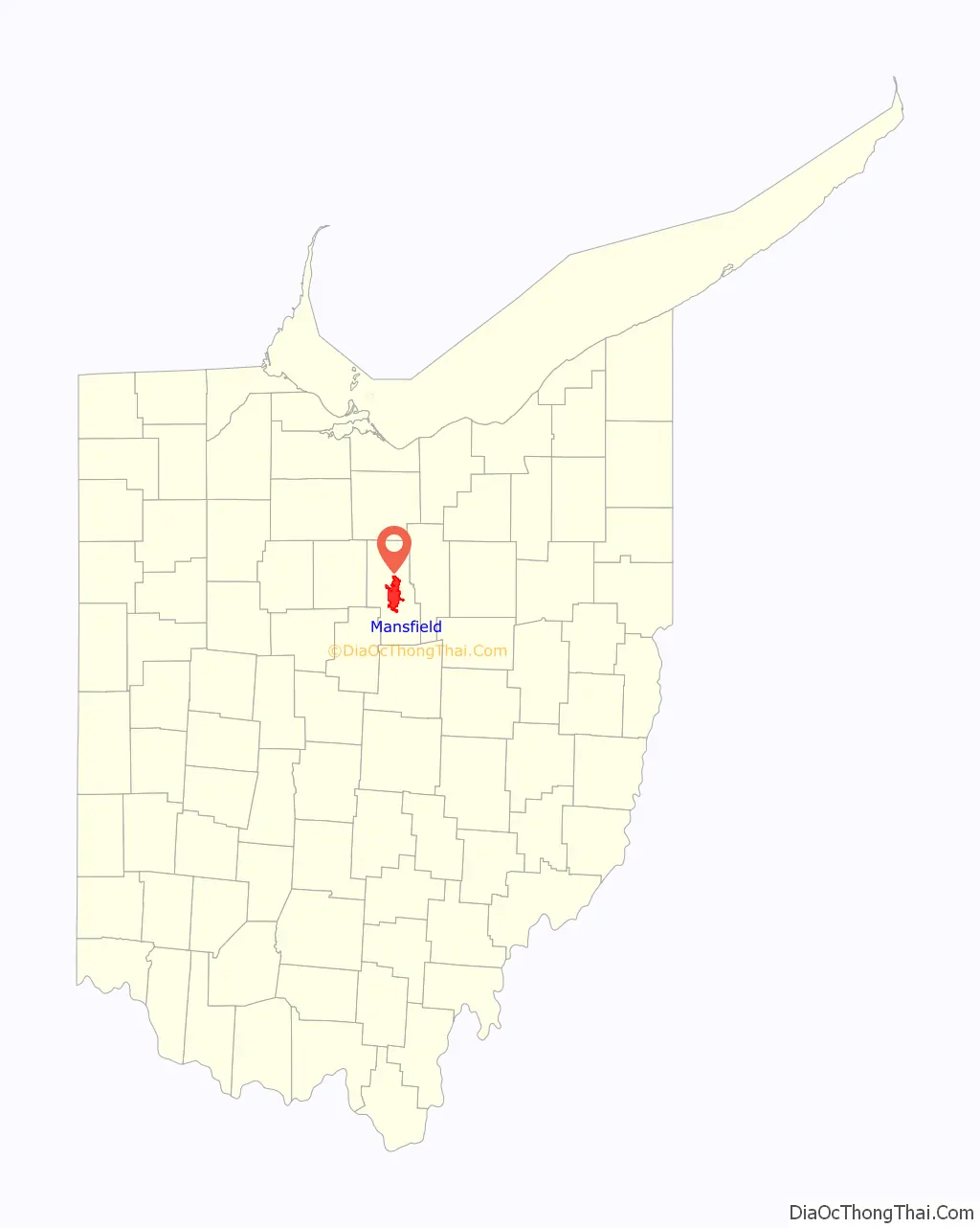
Mansfield location map. Where is Mansfield city?
History
Early history and founding
Mansfield was laid out and founded by James Hedges, Joseph Larwell, and Jacob Newman, and was platted in June 1808 as a settlement. It was named for Colonel Jared Mansfield, the United States Surveyor General who directed its planning. It was originally platted as a square, known today as the public square or Central Park. During that same year of its founding, a log cabin was built by Samuel Martin on lot 97 (where the H.L. Reed building is now), making it the first and only house to be built in Mansfield in 1808. Martin lived in the cabin during the winter and illegally sold whiskey to Indians, which compelled Martin to flee the country. James Cunningham moved into the cabin in the year of 1809. At that time, there were less than a dozen settlers in Richland County and Ohio was still largely wilderness. Two blockhouses were erected on the public square during the War of 1812 for protection against the North American colonies and its Indian allies. The block houses were erected in a single night. After the war ended, the first courthouse and jail of Richland County were located in one of two blockhouses until 1816. The blockhouse was later used as a school with Eliza Wolf being its teacher.
Mansfield was incorporated as a village in 1828 and then as a city in 1857 with a population of 5,121. Between 1846 and 1863, the railroads came to the city with the Sandusky, Mansfield and Newark Railroad being the first railroad to reach Mansfield in 1846, the Pittsburgh, Fort Wayne and Chicago Railway in 1849, and the Atlantic and Great Western Railroad in 1863. The city was a center of manufacturing and trade in the late 1880s thanks to the four railroads that passed through the community. Dozens of manufacturing businesses operated in the city, producing goods like brass objects, doors, linseed oil, paper boxes, suspenders, and numerous other items. Mansfield’s largest employer in 1888 was a cigar maker, Hautzenroeder & Company, that had 285 workers employed. In 1888, Frank B. Black borrowed $5,000 from relatives to start a brass foundry, the Ohio Brass Company, specializing in brass and bronze castings, stem brass goods, electric railway supplies and more. By 1890, 13,473 people lived in the city.
20th and 21st centuries
By 1908, the blockhouse became a symbol of Mansfield’s heritage during its 100th birthday celebration, and in 1929, the blockhouse was relocated to its present location at South Park.
The Mansfield Tire and Rubber Company was founded in the city in 1912, producing tires for automobiles. During the 1920s and 1930s, the Mansfield tire brand stood shoulder to shoulder with Goodyear, Goodrich, Firestone and Uniroyal, the “Big Four” tire name brands in the industry at the time. The Mansfield Tire and Rubber Company continued to grow through the 1950s and 1960s, before its production started to decline in the 1970s. The company declared bankruptcy in the early 1980s, after closing in 1979, leaving 1,721 workers out of a job.
In 1913, parts of Mansfield were flooded when the Great Flood of 1913 brought 3 to 8 inches (76 to 203 mm) of rainfall across Ohio between March 24 and 25. The first road across America, the Lincoln Highway, came to the city in 1913, smoothing the path for economic growth. In 1924, Oak Hill Cottage, a Gothic Revival brick house, built in 1847 by John Robinson, superintendent of the Sandusky, Mansfield and Newark Railroad was the setting of The Green Bay Tree, Mansfield native Louis Bromfield’s first novel.
In 1927, the 9-story Leland Hotel was constructed downtown on the southwest corner of Park Avenue West and South Walnut Street at a cost of $556.000. The Leland Hotel was the tallest building in Mansfield when completed, and was designed by architect Vernon Redding, that also designed the Mansfield Public Library, Farmers Bank Building, Mansfield Savings Bank Building and Mansfield General Hospital. The hotel was razed in 1976 to make way for a parking lot. What remains of the Leland Hotel today is the hotel’s compass rose that was embedded in the sidewalk along Walnut Street where the front door of the hotel once was.
Like many cities in the Rust Belt, the 1970s and 1980s brought urban blight, and losses of significant household name blue-collar manufacturing jobs. In recent years, Mansfield’s downtown, which once underscored the community’s economic difficulties, has seen innovative revitalization through the establishment of Main Street Mansfield (known today as Downtown Mansfield, Inc.), and is a site of new business growth. In 1993, Lydia Reid was sworn in as the city’s first female mayor and became the longest-serving mayor of Mansfield encompassing three four-year terms. Reid was succeeded in 2007 by Donald Culliver, the city’s first black mayor.
In December 2009, the city was placed on fiscal watch by the state auditor citing substantial deficit balances in structural operating general funds. On August 19, 2010, Mansfield would become Ohio’s largest city to be declared in fiscal emergency with a deficit of $3.8 million after city officials failed to pass measures on cost-savings and cut spending, blaming it on the Great Recession. The city’s financial crisis lasted nearly four years before being lifted out of fiscal emergency on July 9, 2014.
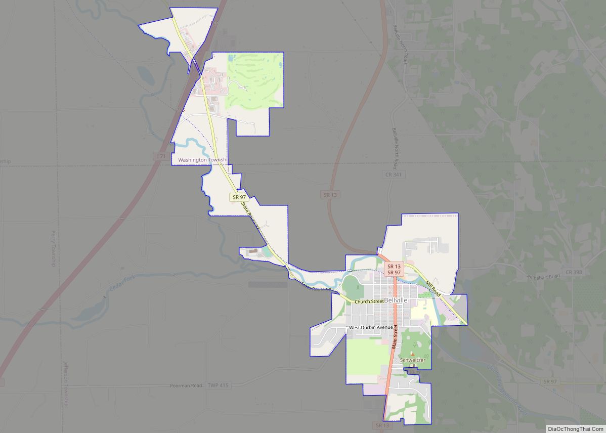
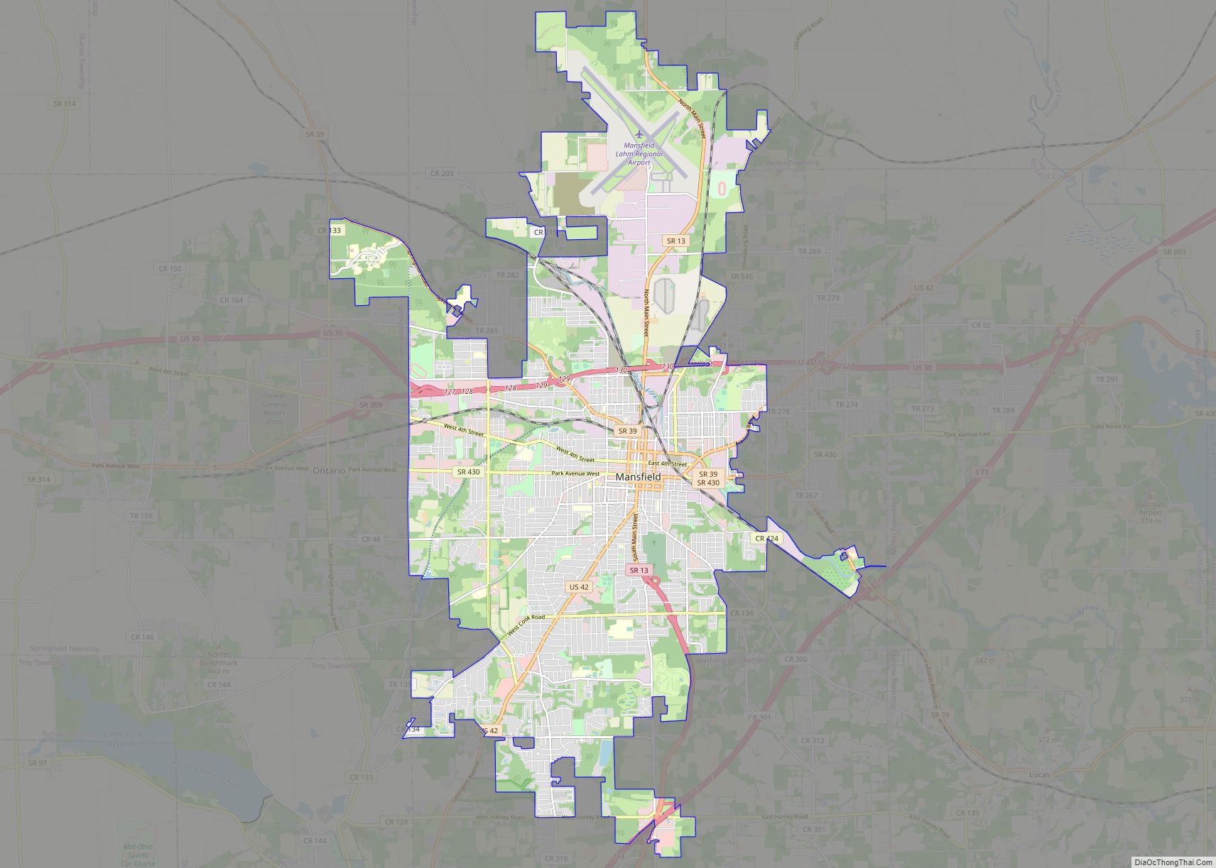
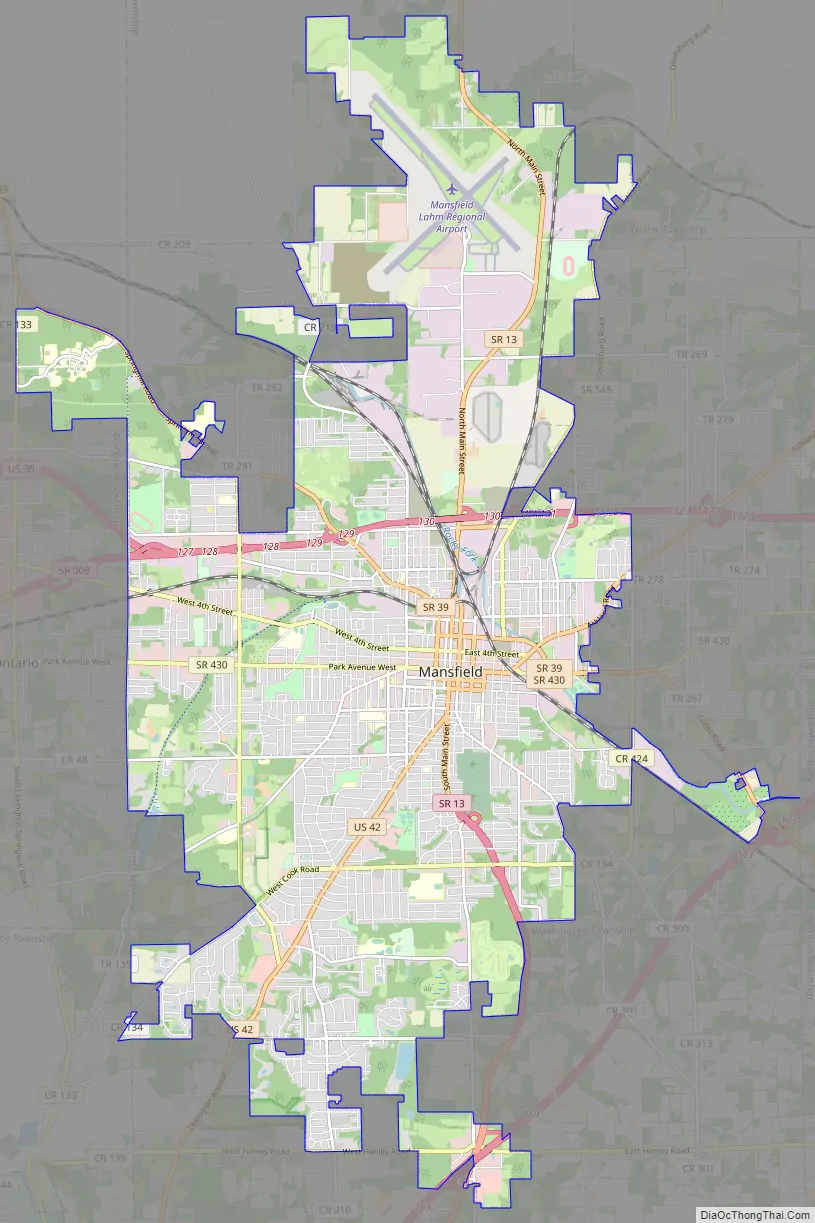
Mansfield Road Map
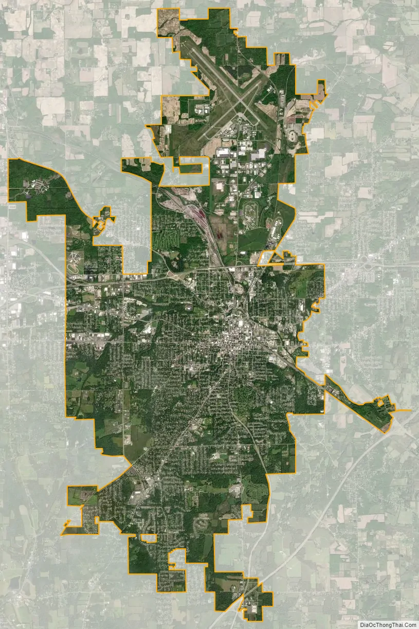
Mansfield city Satellite Map
Geography
Topography
Mansfield is located at 40°45′17″N 82°31′22″W / 40.75472°N 82.52278°W / 40.75472; -82.52278 (40.754856, −82.522855), directly between Columbus and Cleveland, however, the city lies in the western foothills of the Allegheny Plateau, and its elevation is among the highest of Ohio cities. The highest point in the city 1,493 feet (455 m) above sea level is located at the Woodland Reservoir, an underground water storage (service reservoir) along Woodland Road in southwest Mansfield. The elevation in downtown Mansfield, which is located at Central Park is 1,240 feet (378 m) above sea level, and at Mansfield Lahm Airport, the elevation is 1,293 feet (394 m) above sea level. The highest point in Richland County, second highest point in Ohio (after Campbell Hill) is between 1,510 feet (460 m) and 1,520 feet (463 m) above sea level is located southwest of the city, just off Lexington-Ontario Road at Apple Hill Orchards in Springfield Township.
According to the United States Census Bureau, the city has a total area of 30.92 square miles (80.08 km), of which, 30.87 square miles (79.95 km) is land and 0.05 square miles (0.13 km) is water.
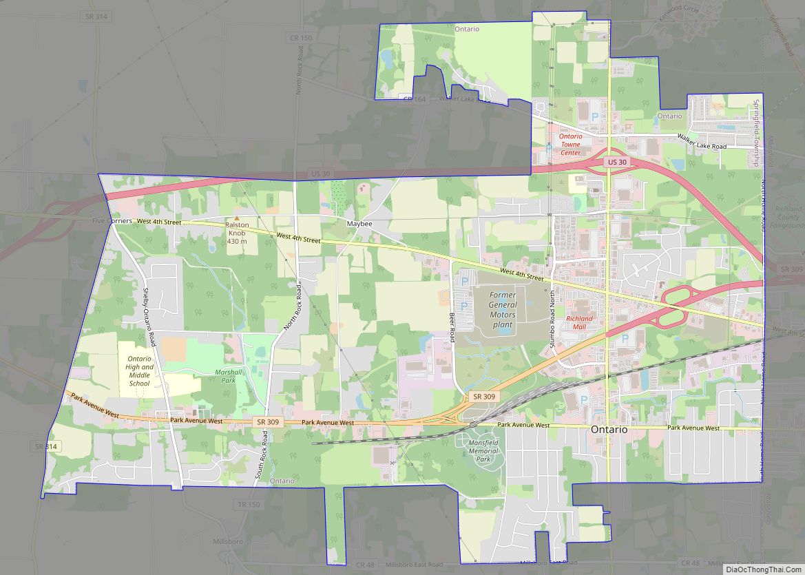
Mansfield is bordered by Madison Township to the east, northwest and southwest, Franklin Township to the north, Weller Township to the northeast, Washington Township to the south, Troy Township to the southwest, Springfield Township and the suburban city of Ontario to the west.
Climate
Mansfield has a humid continental climate (Köppen Dfa), typical of the Midwest, with four distinct seasons. The city is located in USDA hardiness zones 5b (-15 °F to -10 °F) and 6a (-10 °F to -5 °F). Winters are cold and dry but typically bring a mix of rain, sleet, and snow with occasional heavy snowfall and icing. January is the coldest month with an average mean temperature of 26.5 °F (−3 °C), with temperatures dropping to or below 0 °F (−18 °C) 5 days per year on average. Snowfall is lighter than in the snowbelt areas to the northeast, but is still somewhat influenced by Lake Erie, located 38 miles (61 km) north of the city. Snowfall averages 49.2 inches (125 cm) per season. The greatest 24-hour snowfall was 23 inches (58 cm) on December 22–23, 2004 when the city was impacted by a major ice storm following the Pre-Christmas 2004 snowstorm, bringing with it a band of freezing rain and sleet led by ice and snow accumulations. Another notable snowstorm to impact the region was the Great Blizzard of 1978. The snowiest month on record was 52.5 inches (133 cm) in February 2010, while winter snowfall amounts have ranged from 91.0 in (231 cm) in 1995–96 to 12.5 in (32 cm) in 1932–33. Springs are short with rapid transition from hard winter to sometimes very warm, and humid conditions. Summers are typically very warm, sometimes hot, and humid with temperatures exceeding 90 °F (32 °C) 8 days per year on average. July is the warmest month with an average mean temperature of 72.6 °F (23 °C). Fall usually is the dryest season with many clear warm days and cool nights. Severe Thunderstorms are not uncommon during the spring, summer, and fall bring with them the threat of large hail, damaging winds and in rare cases tornadoes. Flooding can also occur from time to time such as the 2007 Midwest flooding that took place in the region on August 20–21, 2007 when Mansfield received 6.24 inches (158 mm) of rain in 24 hours. Monthly precipitation has ranged from 13.23 in (336 mm) in July 1992 to 0.25 in (6.4 mm) in December 1955, while for annual precipitation the historical range is 67.22 in (1,707 mm) in 1990 to 21.81 in (554 mm) in 1963.
The all-time record high temperature in Mansfield of 105 °F (41 °C) was established on July 21, 1934, which occurred during the Dust Bowl drought of the 1930s, and the all-time record low temperature of −22 °F (−30 °C) was set on January 20, 1985, and January 19, 1994. The first and last freezes of the season on average fall on October 19 and April 27, respectively, allowing a growing season of 174 days. The normal annual mean temperature is 50.6 °F (10.3 °C). Normal yearly precipitation based on the 30-year average from 1991 to 2020 is 42.49 inches (1,079 mm), falling on an average 150 days.
See also
Map of Ohio State and its subdivision:- Adams
- Allen
- Ashland
- Ashtabula
- Athens
- Auglaize
- Belmont
- Brown
- Butler
- Carroll
- Champaign
- Clark
- Clermont
- Clinton
- Columbiana
- Coshocton
- Crawford
- Cuyahoga
- Darke
- Defiance
- Delaware
- Erie
- Fairfield
- Fayette
- Franklin
- Fulton
- Gallia
- Geauga
- Greene
- Guernsey
- Hamilton
- Hancock
- Hardin
- Harrison
- Henry
- Highland
- Hocking
- Holmes
- Huron
- Jackson
- Jefferson
- Knox
- Lake
- Lake Erie
- Lawrence
- Licking
- Logan
- Lorain
- Lucas
- Madison
- Mahoning
- Marion
- Medina
- Meigs
- Mercer
- Miami
- Monroe
- Montgomery
- Morgan
- Morrow
- Muskingum
- Noble
- Ottawa
- Paulding
- Perry
- Pickaway
- Pike
- Portage
- Preble
- Putnam
- Richland
- Ross
- Sandusky
- Scioto
- Seneca
- Shelby
- Stark
- Summit
- Trumbull
- Tuscarawas
- Union
- Van Wert
- Vinton
- Warren
- Washington
- Wayne
- Williams
- Wood
- Wyandot
- Alabama
- Alaska
- Arizona
- Arkansas
- California
- Colorado
- Connecticut
- Delaware
- District of Columbia
- Florida
- Georgia
- Hawaii
- Idaho
- Illinois
- Indiana
- Iowa
- Kansas
- Kentucky
- Louisiana
- Maine
- Maryland
- Massachusetts
- Michigan
- Minnesota
- Mississippi
- Missouri
- Montana
- Nebraska
- Nevada
- New Hampshire
- New Jersey
- New Mexico
- New York
- North Carolina
- North Dakota
- Ohio
- Oklahoma
- Oregon
- Pennsylvania
- Rhode Island
- South Carolina
- South Dakota
- Tennessee
- Texas
- Utah
- Vermont
- Virginia
- Washington
- West Virginia
- Wisconsin
- Wyoming