Bucyrus (/bjuːˈsaɪrəs/ bew-SY-rəs) is a city in the U.S. state of Ohio and the county seat of Crawford County, located in northern Ohio approximately 28 miles (45 km) west of Mansfield and 66 miles (106 km) southeast of Toledo. The population was 11,684 at the 2020 census. The city is the largest in Crawford County, and the center of the Bucyrus Micropolitan Statistical Area (as defined by the United States Census Bureau in 2003).
| Name: | Bucyrus city |
|---|---|
| LSAD Code: | 25 |
| LSAD Description: | city (suffix) |
| State: | Ohio |
| County: | Crawford County |
| Elevation: | 994 ft (303 m) |
| Total Area: | 7.40 sq mi (19.18 km²) |
| Land Area: | 7.39 sq mi (19.14 km²) |
| Water Area: | 0.01 sq mi (0.04 km²) |
| Total Population: | 11,684 |
| Population Density: | 1,581.06/sq mi (610.46/km²) |
| ZIP code: | 44820 |
| Area code: | 419/567 |
| FIPS code: | 3910030 |
| GNISfeature ID: | 1056736 |
Online Interactive Map
Click on ![]() to view map in "full screen" mode.
to view map in "full screen" mode.
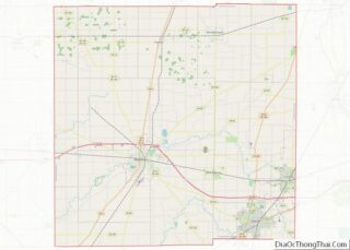
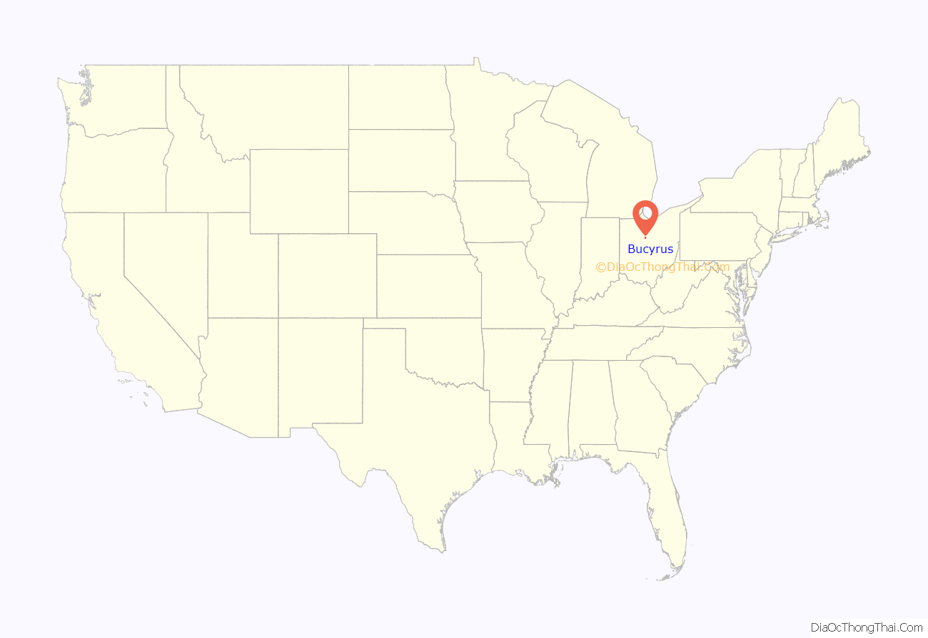
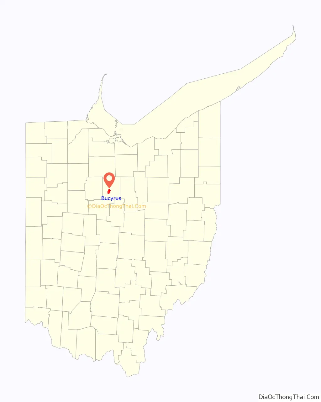
Bucyrus location map. Where is Bucyrus city?
History
The origin of the name Bucyrus is not certain. It was given by Col. James Kilbourne, who laid out the town in 1821. One theory is that the name Bucyrus is derived from “beautiful” coupled with the name of Cyrus the Great, founder of the First Persian Empire. An alternate theory is that the city was named after Busiris, a city of ancient Egypt.
The Bucyrus Foundry and Manufacturing Company, a predecessor to Bucyrus International, Inc. was founded in Bucyrus in 1880. The company moved to Wisconsin in 1893.
Bucyrus was once home to the Dostal Brothers Brewery. Founded in 1902, the brewery was run by John M. and George A. Dostal.
The Lincoln Highway, later US Route 30, was routed through the city along Mansfield Street in 1913. In 1971 a modern, limited-access bypass was built to the north, but the associated freeway links to the east and west of Bucyrus, replacing the old two-lane Lincoln Highway route, were not completed until 2005, nearly 35 years after they were first proposed.
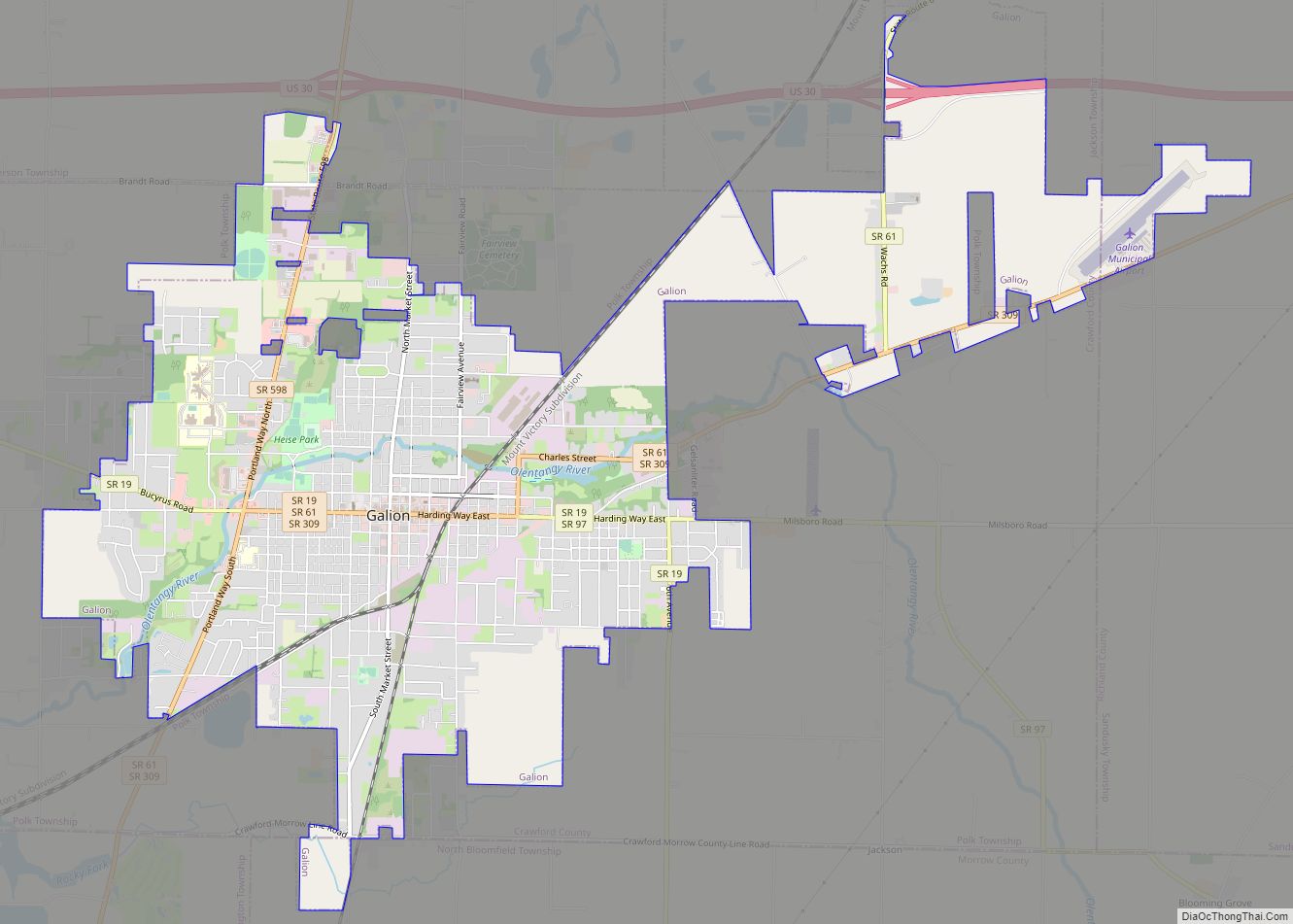
Ohio Central Traction Company, an interurban line that connected the two communities of Bucyrus and Galion, developed Seccaium Park at the end of the nineteenth century.
There was a notable landmark of an Elephant with a “B” atop the Geiger Clothing store (since demolished) on Washington Square. This was to promote Geiger’s motto which was, “Buy your clothing here, for it will last like the hide of an elephant.”
On March 10, 2007, Bucyrus was featured as the town of the week on the nationally syndicated Public Radio International program, Whad’Ya Know?.
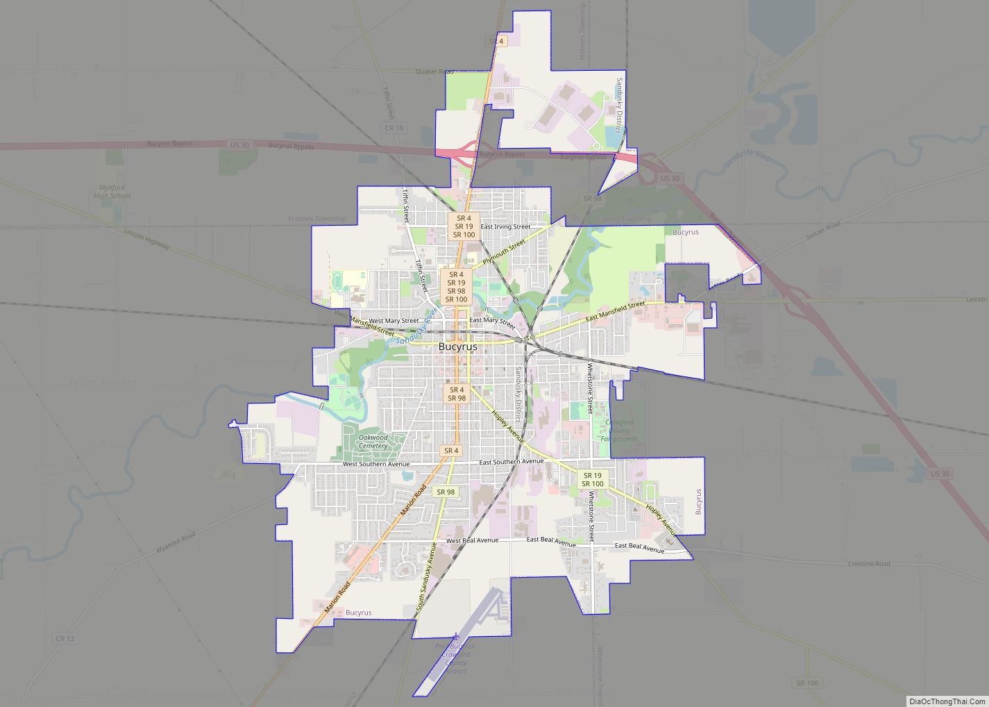
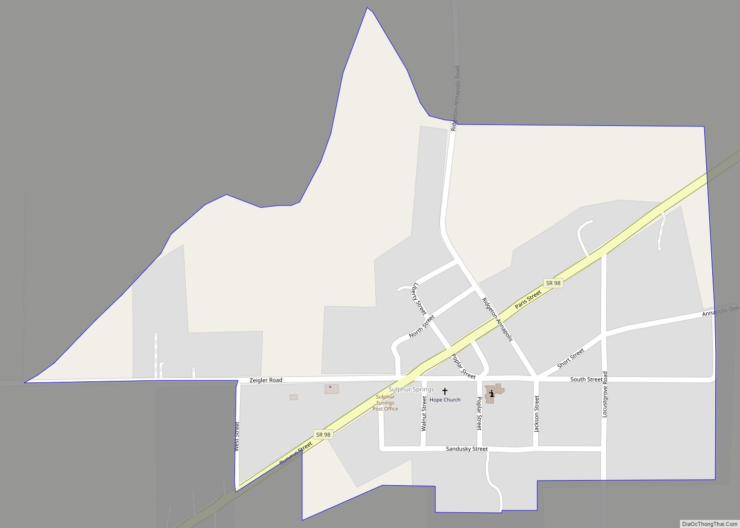
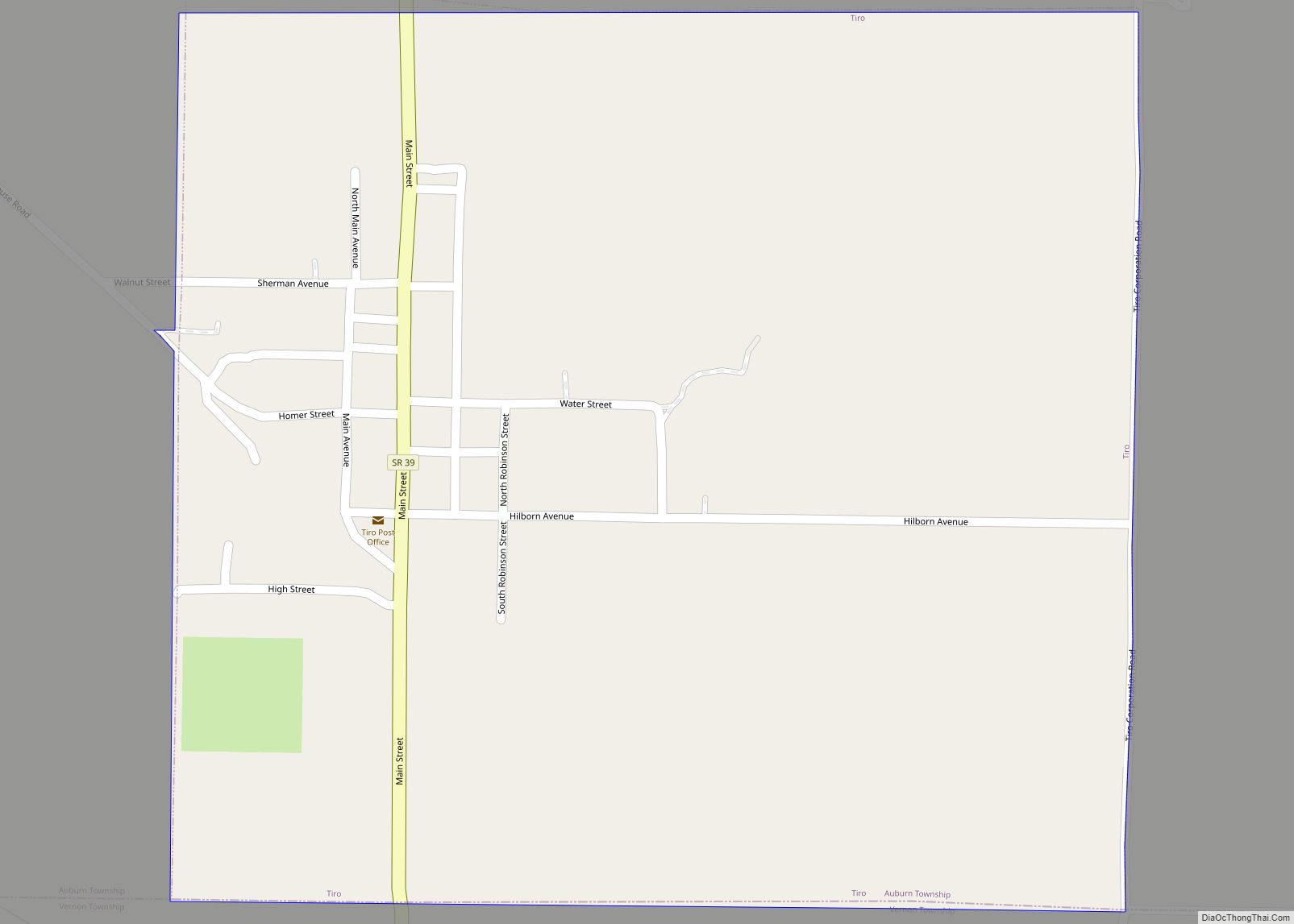
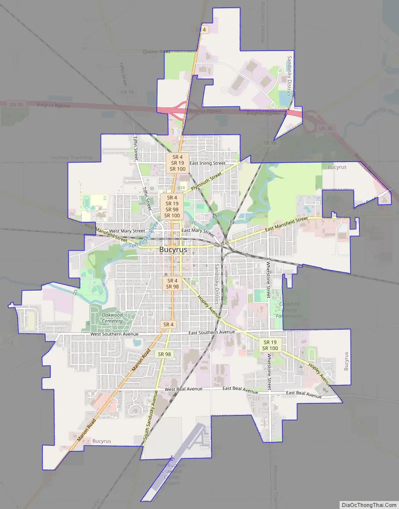
Bucyrus Road Map
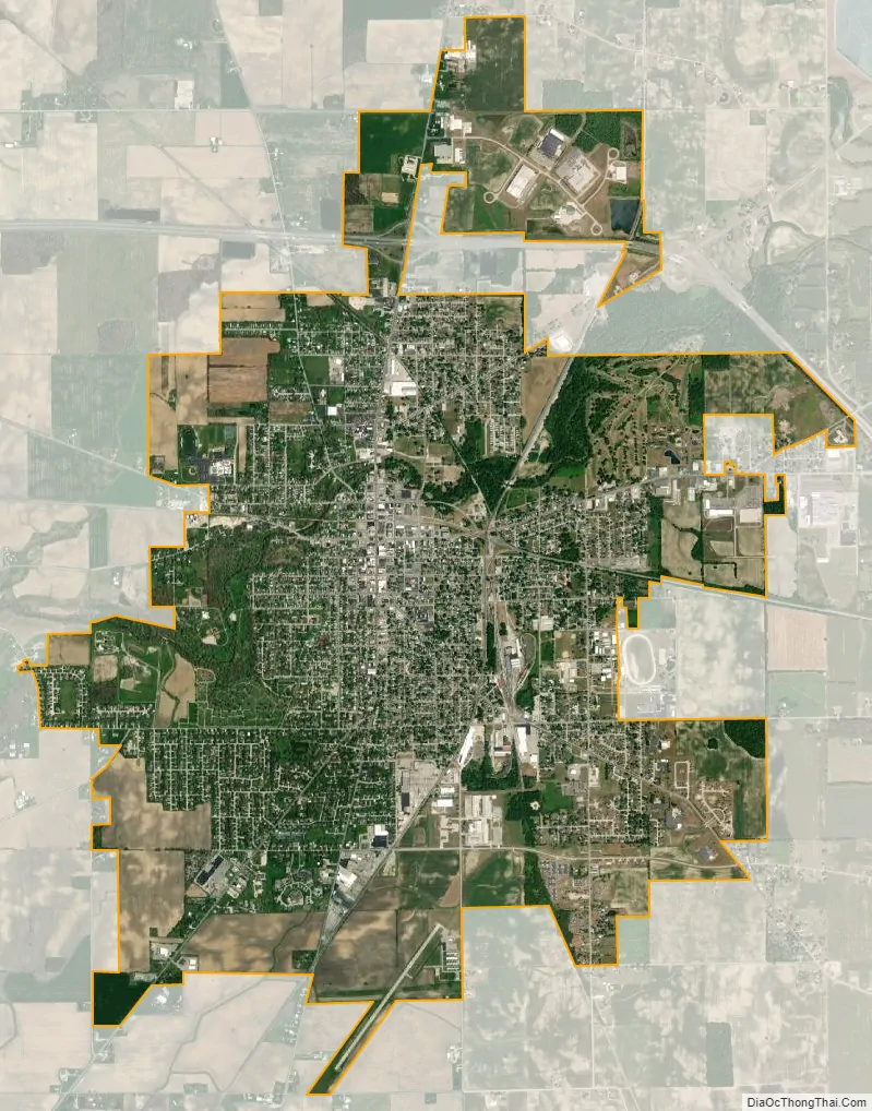
Bucyrus city Satellite Map
Geography
Bucyrus is located at 40°48′22″N 82°58′23″W / 40.80611°N 82.97306°W / 40.80611; -82.97306 (40.806014, -82.973169), along the Sandusky River. According to the United States Census Bureau, the city has a total area of 7.43 square miles (19.24 km), of which 7.42 square miles (19.22 km) is land and 0.01 square miles (0.03 km) is water.
Climate
See also
Map of Ohio State and its subdivision:- Adams
- Allen
- Ashland
- Ashtabula
- Athens
- Auglaize
- Belmont
- Brown
- Butler
- Carroll
- Champaign
- Clark
- Clermont
- Clinton
- Columbiana
- Coshocton
- Crawford
- Cuyahoga
- Darke
- Defiance
- Delaware
- Erie
- Fairfield
- Fayette
- Franklin
- Fulton
- Gallia
- Geauga
- Greene
- Guernsey
- Hamilton
- Hancock
- Hardin
- Harrison
- Henry
- Highland
- Hocking
- Holmes
- Huron
- Jackson
- Jefferson
- Knox
- Lake
- Lake Erie
- Lawrence
- Licking
- Logan
- Lorain
- Lucas
- Madison
- Mahoning
- Marion
- Medina
- Meigs
- Mercer
- Miami
- Monroe
- Montgomery
- Morgan
- Morrow
- Muskingum
- Noble
- Ottawa
- Paulding
- Perry
- Pickaway
- Pike
- Portage
- Preble
- Putnam
- Richland
- Ross
- Sandusky
- Scioto
- Seneca
- Shelby
- Stark
- Summit
- Trumbull
- Tuscarawas
- Union
- Van Wert
- Vinton
- Warren
- Washington
- Wayne
- Williams
- Wood
- Wyandot
- Alabama
- Alaska
- Arizona
- Arkansas
- California
- Colorado
- Connecticut
- Delaware
- District of Columbia
- Florida
- Georgia
- Hawaii
- Idaho
- Illinois
- Indiana
- Iowa
- Kansas
- Kentucky
- Louisiana
- Maine
- Maryland
- Massachusetts
- Michigan
- Minnesota
- Mississippi
- Missouri
- Montana
- Nebraska
- Nevada
- New Hampshire
- New Jersey
- New Mexico
- New York
- North Carolina
- North Dakota
- Ohio
- Oklahoma
- Oregon
- Pennsylvania
- Rhode Island
- South Carolina
- South Dakota
- Tennessee
- Texas
- Utah
- Vermont
- Virginia
- Washington
- West Virginia
- Wisconsin
- Wyoming