Caldwell County is a county located in the U.S. state of Kentucky. As of the 2020 census, the population was 12,649. Its county seat is Princeton. The county was formed in 1809 from Livingston County, Kentucky and named for John Caldwell, who participated in the George Rogers Clark Indian Campaign of 1786 and was the second lieutenant governor of Kentucky. Caldwell was a prohibition or dry county until 2013, when the citizens voted to lift the ban.
| Name: | Caldwell County |
|---|---|
| FIPS code: | 21-033 |
| State: | Kentucky |
| Founded: | 1809, 1809 |
| Named for: | John Caldwell |
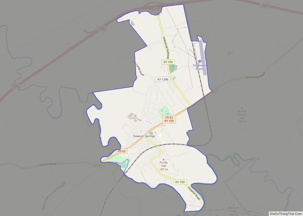
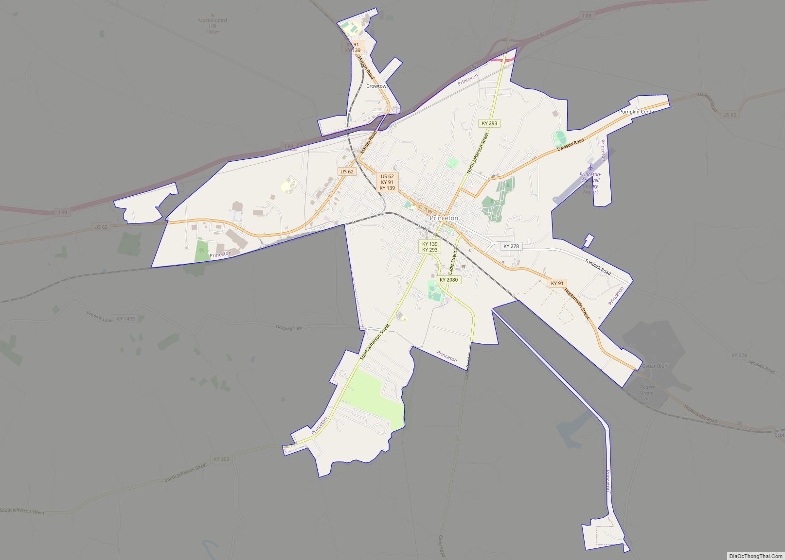
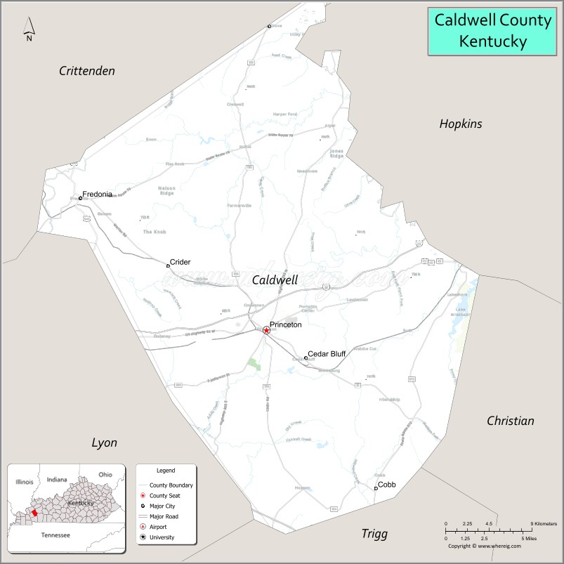
| Seat: | Princeton |
| Largest city: | Princeton |
| Total Area: | 348 sq mi (900 km²) |
| Land Area: | 345 sq mi (890 km²) |
| Total Population: | 12,649 |
| Population Density: | 36/sq mi (14/km²) |
| Time zone: | UTC−6 (Central) |
| Summer Time Zone (DST): | UTC−5 (CDT) |
| Website: | www.caldwellcounty.ky.gov |
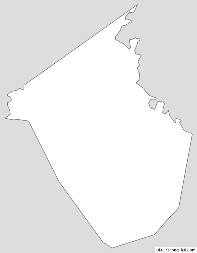
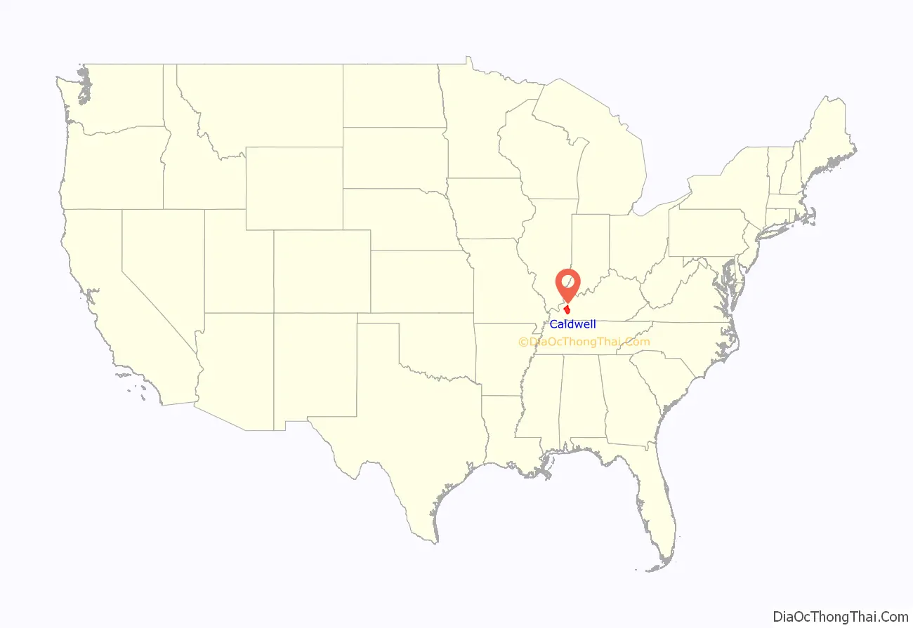
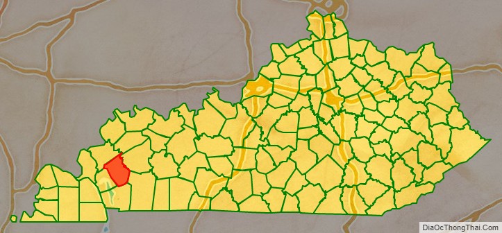
Caldwell County location map. Where is Caldwell County?
History
Caldwell County was formed from Livingston County in 1809. Prior to that, Caldwell County had been part of Christian, Logan, and Lincoln Counties — Lincoln County having been one of the three original counties of Kentucky.
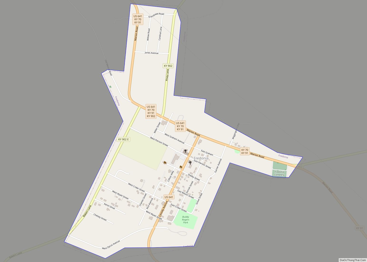
In the early nineteenth-century, Caldwell County witnessed the passage of the forced migration of the Cherokee to the West on the Trail of Tears during Indian removal. The Cherokee camped for several weeks in Caldwell County during the winter of 1838, mainly at Big Springs, now in downtown Princeton; at Skin Frame Creek, and in the Centerville area near Fredonia.
In 1860, the construction of Princeton College began, but it was delayed by the Civil War. Confederate troops camped on the grounds of Princeton College in 1861, using one of its buildings as a hospital. Following the Confederate retreat in early 1862, however, Union soldiers occupied Princeton for the remainder of the war. In December 1864, raiding Kentucky Confederate cavalry commanded by General Hylan B. Lyon burned the Caldwell County courthouse in Princeton, since it was being used to house the Union garrison.
The expansion of railroads in the late nineteenth century made Princeton an important junction on several major railway lines, most notably the Illinois Central and the Louisville & Nashville.
By the turn of the century, an agricultural boom in Dark Fired Tobacco had made Caldwell County, along with Christian County, a major tobacco-growing area. It was part of what was called the “Black Patch”, which used a special process to cure the tobacco. It included about 30 counties in western Kentucky and Tennessee. But the monopolization of the tobacco market by James B. Duke, who formed the American Tobacco Company, forced prices lower, leaving many farmers in debt and discontented.
In response, planters formed the Dark Tobacco District Planters’ Protective Association of Kentucky and Tennessee (PPA), to work together in pooling their commodity in order to gain higher prices. They initially used persuasion to urge other farmers to join them.
Under the leadership of Dr. David Amoss of Cobb in Caldwell County, a vigilante force called the Night Riders was formed to strengthen the persuasion. The Night Riders terrorized those who cooperated with the tobacco company by destroying crops, burning warehouses, and attacking individuals. The Night Riders took over Princeton one night in December 1906, burning all of the Duke tobacco warehouses. They raided other towns, conducting similar raids and destroying resources. The “Black Patch Wars” came to an end around 1908, finally suppressed with the aid of the Kentucky state militia.
Since 1925, Caldwell County has housed the University of Kentucky Research and Education Center, a campus of the University of Kentucky’s College of Agriculture. The “UKREC” in Princeton is a leader in horticultural and biological sciences.
In the mid-twentieth century, Caldwell County began to shift from agriculture to industrialization. Caldwell County is still largely agricultural, but it is also home to factories such as Bremner, the largest private cookie and cracker factory in North America.
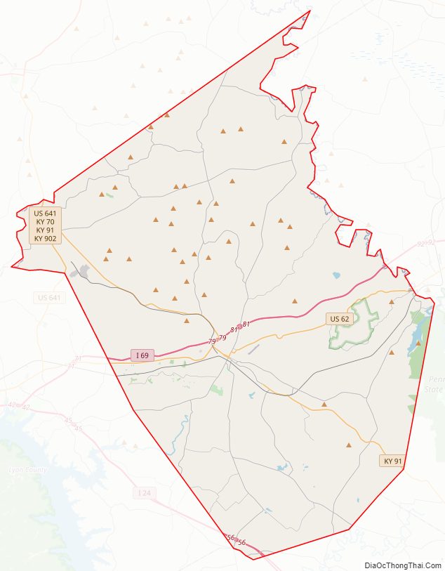
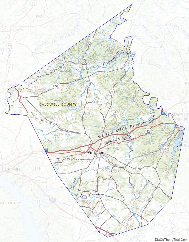
Caldwell County Road Map
Geography
According to the U.S. Census Bureau, the county has a total area of 348 square miles (900 km), of which 345 square miles (890 km) is land and 3.4 square miles (8.8 km) (1.0%) is water.
Adjacent counties
- Crittenden County (northwest)
- Webster County (northeast)
- Hopkins County (northeast)
- Christian County (southeast)
- Trigg County (south)
- Lyon County (southwest)
Caldwell County Topographic Map
Caldwell County Satellite Map

Caldwell County Outline Map