Marion is a home rule-class city in Crittenden County, Kentucky, in the United States. It is the seat of its county. As of the 2010 census, the city population was 3,039.
The farm communities surrounding Marion are home to a large Amish population. The Marion-Crittenden County Airport is located west of the city.
| Name: | Marion city |
|---|---|
| LSAD Code: | 25 |
| LSAD Description: | city (suffix) |
| State: | Kentucky |
| County: | Crittenden County |
| Incorporated: | 1842 |
| Elevation: | 594 ft (181 m) |
| Total Area: | 3.35 sq mi (8.68 km²) |
| Land Area: | 3.33 sq mi (8.61 km²) |
| Water Area: | 0.03 sq mi (0.07 km²) |
| Total Population: | 2,916 |
| Population Density: | 876.99/sq mi (338.57/km²) |
| ZIP code: | 42064 |
| Area code: | 270 |
| FIPS code: | 2150034 |
| GNISfeature ID: | 0497543 |
| Website: | www.marionky.gov |
Online Interactive Map
Click on ![]() to view map in "full screen" mode.
to view map in "full screen" mode.
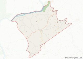
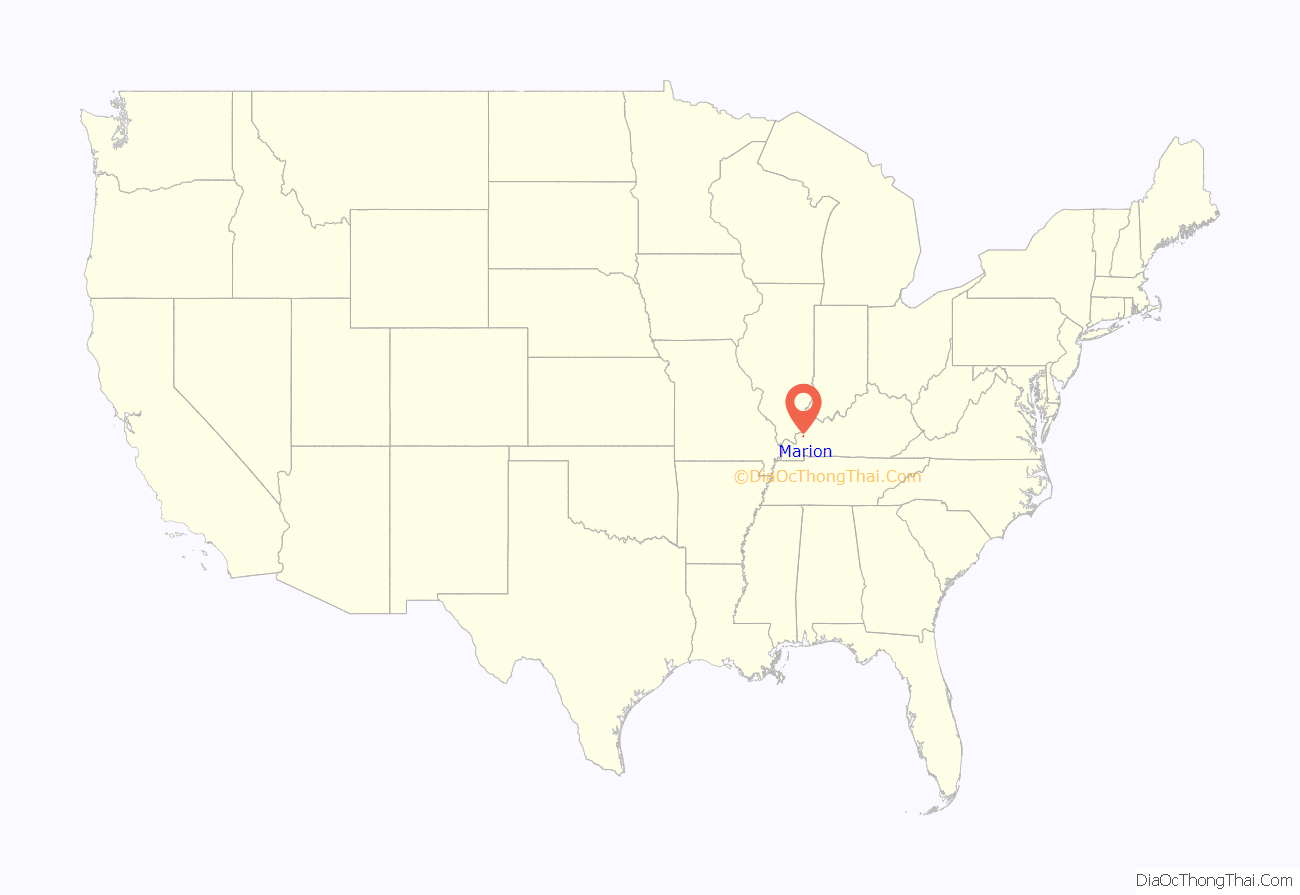
Marion location map. Where is Marion city?

History
The city is named for Francis Marion, a brigadier general from South Carolina in the American Revolutionary War.
Marion was founded in 1842 on land donated by Dr. John S. Gilliam shortly after Crittenden County was created January 26, 1842, from a portion of Livingston County. The city was incorporated February 22, 1844, and a post office was established in 1846.
In 1864, at the end of the Civil War, the county courthouse in Marion was burned.
A railroad line from Blackford to Princeton was completed in 1887, and a depot was established at Marion. Originally owned by the Illinois Central Railroad, it has since been abandoned.
A one-room Rosenwald School opened in Marion in 1926 for African-American children. Graduates attended high school in neighboring Caldwell County until 1936, after which they attended high school in Princeton.
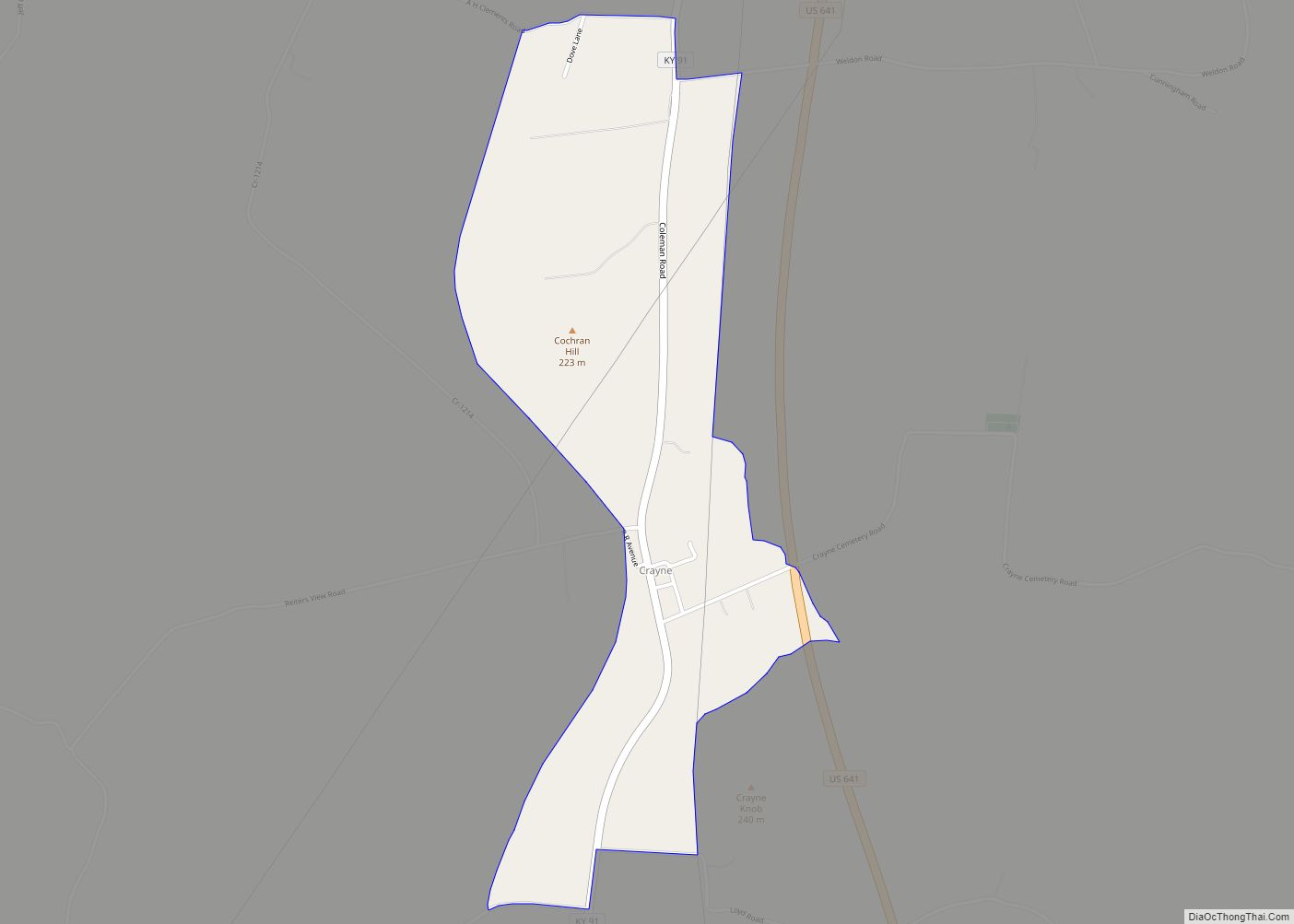
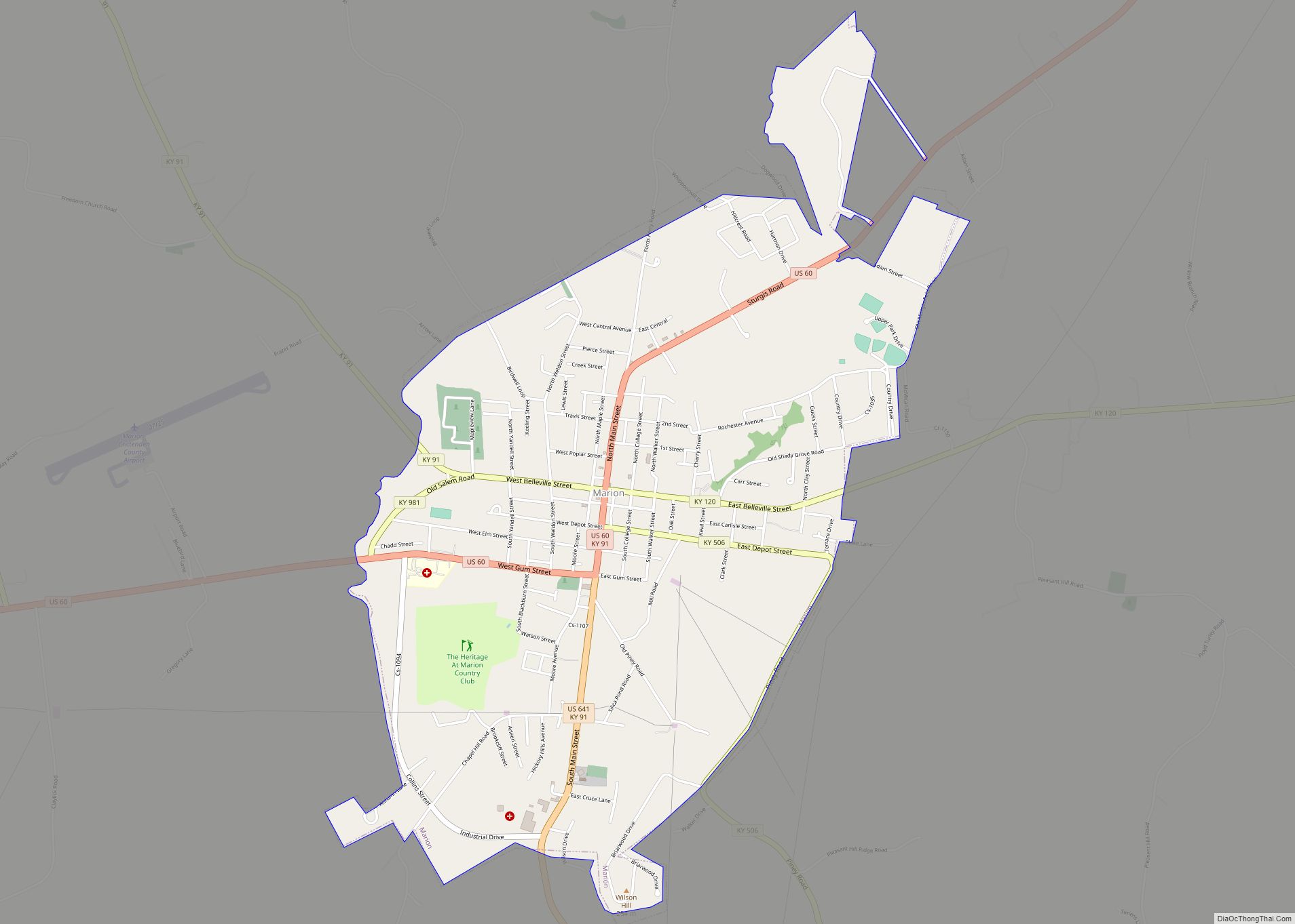
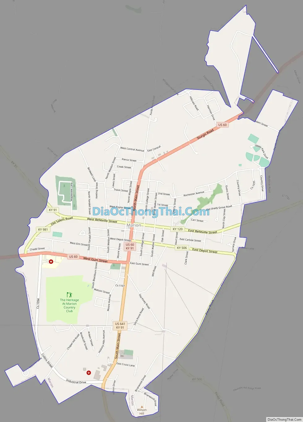
Marion Road Map
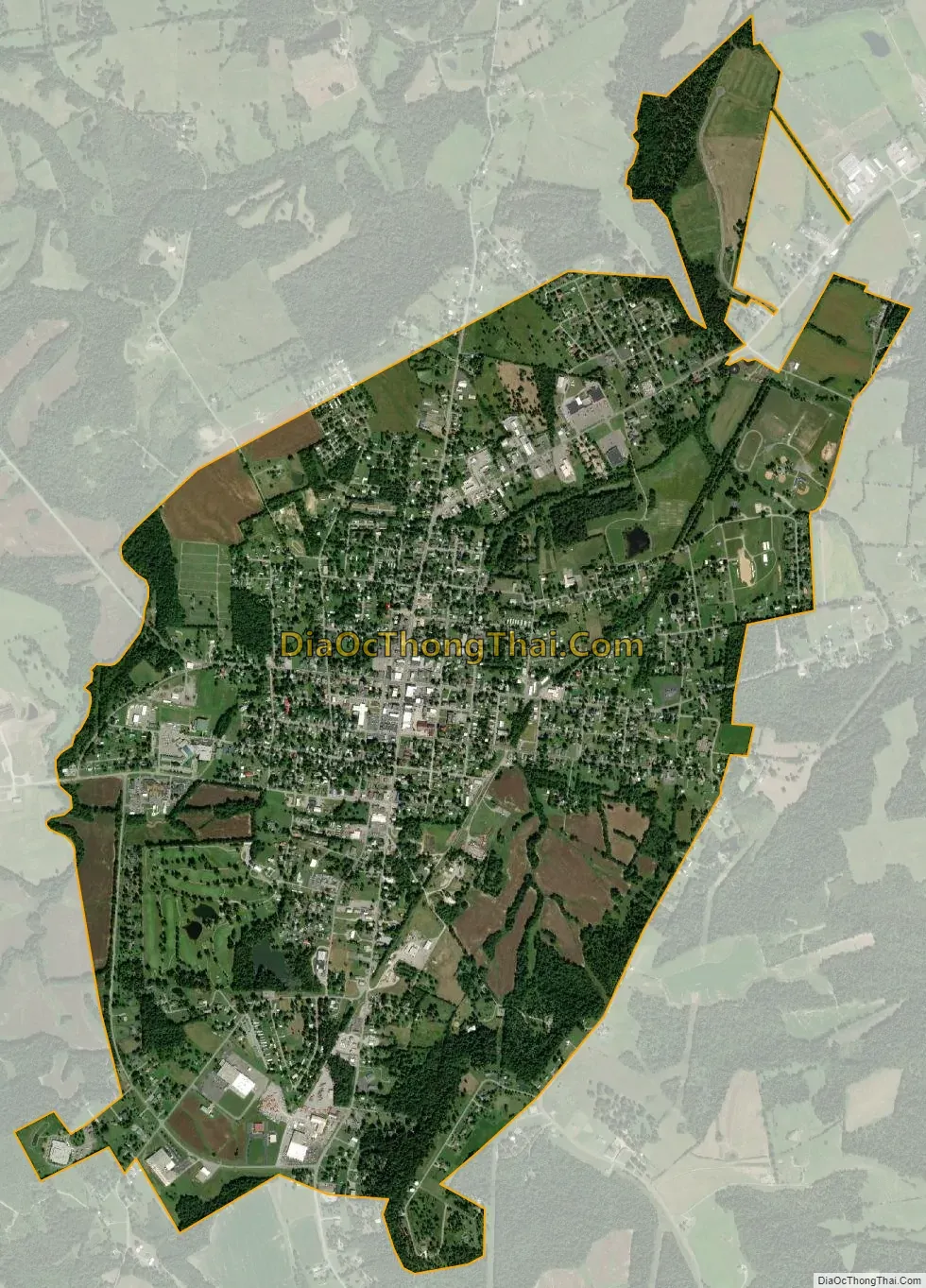
Marion city Satellite Map
Geography
Marion is located near the center of Crittenden County at 37°19′57″N 88°4′45″W / 37.33250°N 88.07917°W / 37.33250; -88.07917 (37.332505, -88.079051). U.S. 60 and U.S. 641 intersect in the center of town. U.S. 60 leads northeast 30 miles (48 km) to Morganfield and southwest 45 miles (72 km) to Paducah, while U.S. 641 leads south 10 miles (16 km) to Fredonia and 20 miles (32 km) to U.S. 62 in Eddyville.
According to the United States Census Bureau, Marion has a total area of 3.4 square miles (8.7 km), of which 0.03 square miles (0.07 km), or 0.79%, is water.
See also
Map of Kentucky State and its subdivision:- Adair
- Allen
- Anderson
- Ballard
- Barren
- Bath
- Bell
- Boone
- Bourbon
- Boyd
- Boyle
- Bracken
- Breathitt
- Breckinridge
- Bullitt
- Butler
- Caldwell
- Calloway
- Campbell
- Carlisle
- Carroll
- Carter
- Casey
- Christian
- Clark
- Clay
- Clinton
- Crittenden
- Cumberland
- Daviess
- Edmonson
- Elliott
- Estill
- Fayette
- Fleming
- Floyd
- Franklin
- Fulton
- Gallatin
- Garrard
- Grant
- Graves
- Grayson
- Green
- Greenup
- Hancock
- Hardin
- Harlan
- Harrison
- Hart
- Henderson
- Henry
- Hickman
- Hopkins
- Jackson
- Jefferson
- Jessamine
- Johnson
- Kenton
- Knott
- Knox
- Larue
- Laurel
- Lawrence
- Lee
- Leslie
- Letcher
- Lewis
- Lincoln
- Livingston
- Logan
- Lyon
- Madison
- Magoffin
- Marion
- Marshall
- Martin
- Mason
- McCracken
- McCreary
- McLean
- Meade
- Menifee
- Mercer
- Metcalfe
- Monroe
- Montgomery
- Morgan
- Muhlenberg
- Nelson
- Nicholas
- Ohio
- Oldham
- Owen
- Owsley
- Pendleton
- Perry
- Pike
- Powell
- Pulaski
- Robertson
- Rockcastle
- Rowan
- Russell
- Scott
- Shelby
- Simpson
- Spencer
- Taylor
- Todd
- Trigg
- Trimble
- Union
- Warren
- Washington
- Wayne
- Webster
- Whitley
- Wolfe
- Woodford
- Alabama
- Alaska
- Arizona
- Arkansas
- California
- Colorado
- Connecticut
- Delaware
- District of Columbia
- Florida
- Georgia
- Hawaii
- Idaho
- Illinois
- Indiana
- Iowa
- Kansas
- Kentucky
- Louisiana
- Maine
- Maryland
- Massachusetts
- Michigan
- Minnesota
- Mississippi
- Missouri
- Montana
- Nebraska
- Nevada
- New Hampshire
- New Jersey
- New Mexico
- New York
- North Carolina
- North Dakota
- Ohio
- Oklahoma
- Oregon
- Pennsylvania
- Rhode Island
- South Carolina
- South Dakota
- Tennessee
- Texas
- Utah
- Vermont
- Virginia
- Washington
- West Virginia
- Wisconsin
- Wyoming