Cumberland County is a county located in the Commonwealth of Virginia, United States. As of the 2020 census, the population was 9,675. Its county seat is Cumberland.
| Name: | Cumberland County |
|---|---|
| FIPS code: | 51-049 |
| State: | Virginia |
| Founded: | 1749 |
| Named for: | William Augustus, Duke of Cumberland |
| Seat: | Cumberland |
| Largest town: | Farmville |
| Total Area: | 300 sq mi (800 km²) |
| Land Area: | 297 sq mi (770 km²) |
| Total Population: | 9,675 |
| Population Density: | 32/sq mi (12/km²) |
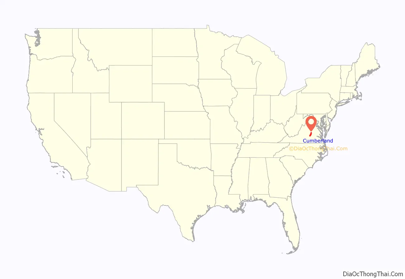
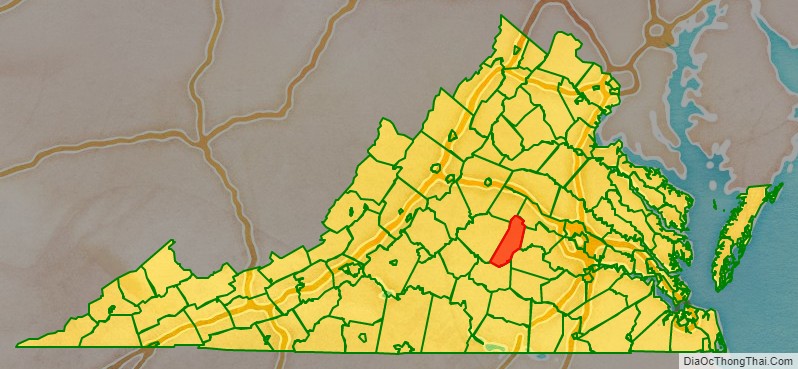
Cumberland County location map. Where is Cumberland County?
History
Cumberland County was established in 1749 from Goochland County. The county is named for William Augustus, Duke of Cumberland, second son of King George II of Great Britain. Cumberland County was also home to the Fleming family, which included Judge John Fleming and his son Judge William Fleming.
From 1749 until 1777, when the eastern portion was detached to form Powhatan County, Mosby Tavern served as the county courthouse. The tavern subsequently became known as “Old Cumberland Courthouse.” In 1778 the narrow triangular area bordering the southern bank of the James River was annexed from Buckingham County.
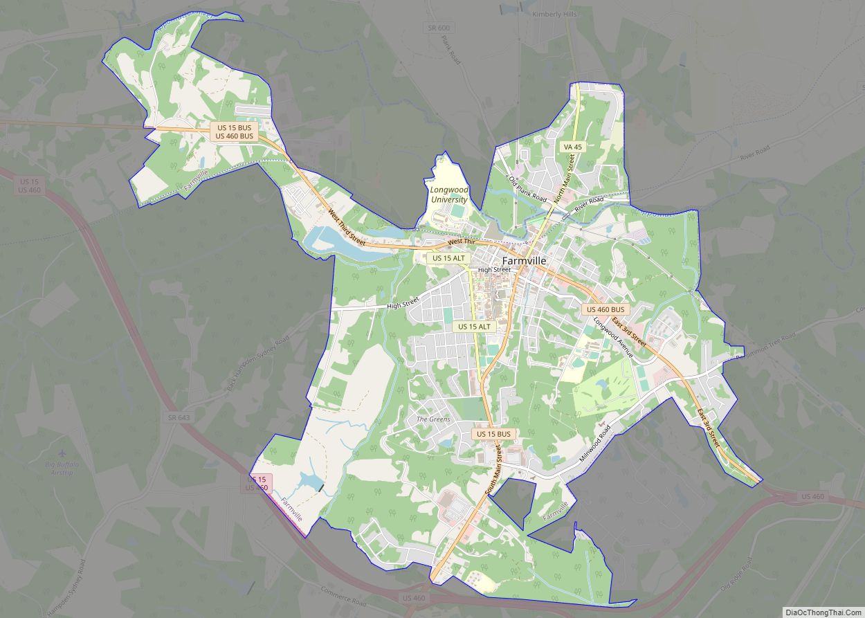
Cumberland County Road Map
Geography
According to the U.S. Census Bureau, the county has a total area of 300 square miles (780 km), of which 297 sq mi (770 km) is land and 2.3 sq mi (6.0 km) (0.8%) is water.
Adjacent counties
- Goochland County – northeast
- Powhatan County – east
- Amelia County – southeast
- Prince Edward County – south
- Buckingham County – west
- Fluvanna County – northwest
Major highways
- US 60
- SR 13
- SR 45


