Farmville is a town in Prince Edward and Cumberland counties in the Commonwealth of Virginia. The population was 7,473 at the 2020 census. It is the county seat of Prince Edward County.
Farmville developed near the headwaters of the Appomattox River in central Virginia; the waterway was long its main transportation access to other markets. In the 19th century, a railroad was constructed here. Since the late 20th century, the former railway has been converted to the High Bridge Trail State Park, a more than 30-mile-long (48 km) rail trail park. US 15, VA 45 and US 460 now intersect at Farmville. The town is the home of Longwood University and is the town nearest to Hampden–Sydney College.
| Name: | Farmville town |
|---|---|
| LSAD Code: | 43 |
| LSAD Description: | town (suffix) |
| State: | Virginia |
| County: | Cumberland County, Prince Edward County |
| Elevation: | 351 ft (107 m) |
| Total Area: | 7.82 sq mi (20.25 km²) |
| Land Area: | 7.68 sq mi (19.89 km²) |
| Water Area: | 0.14 sq mi (0.37 km²) |
| Total Population: | 7,473 |
| Population Density: | 973.7/sq mi (355.64/km²) |
| ZIP code: | 23901, 23909, 23943 |
| Area code: | 434 |
| FIPS code: | 5127440 |
| GNISfeature ID: | 1498477 |
| Website: | www.farmvilleva.com |
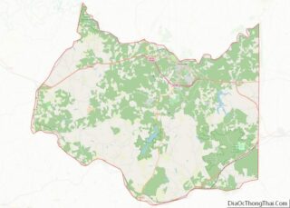
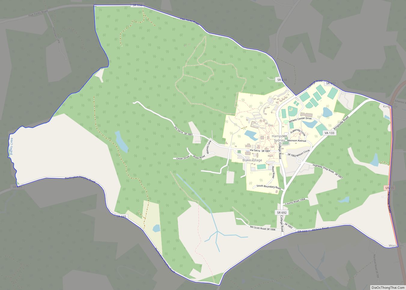
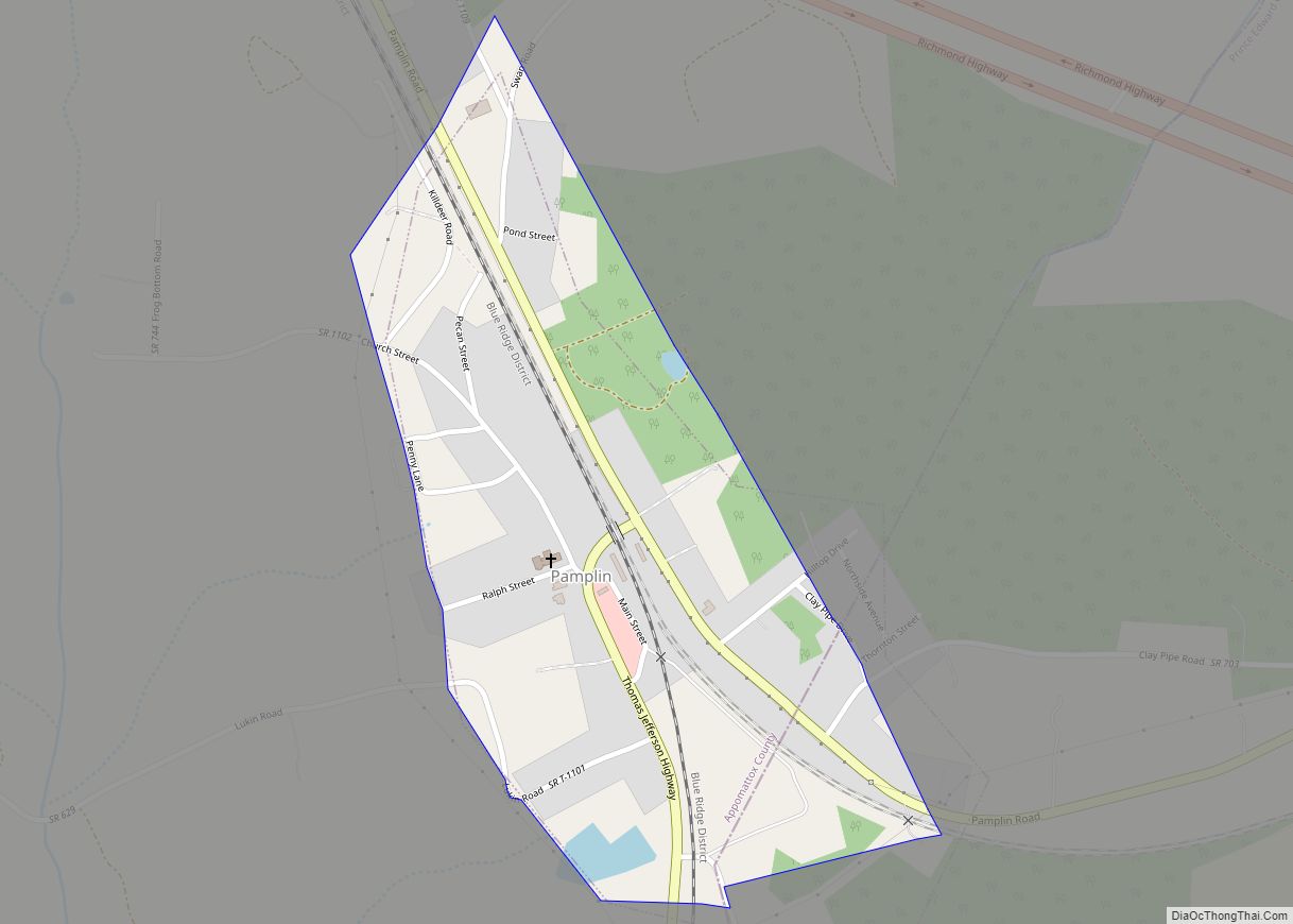
Online Interactive Map
Click on ![]() to view map in "full screen" mode.
to view map in "full screen" mode.
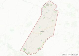
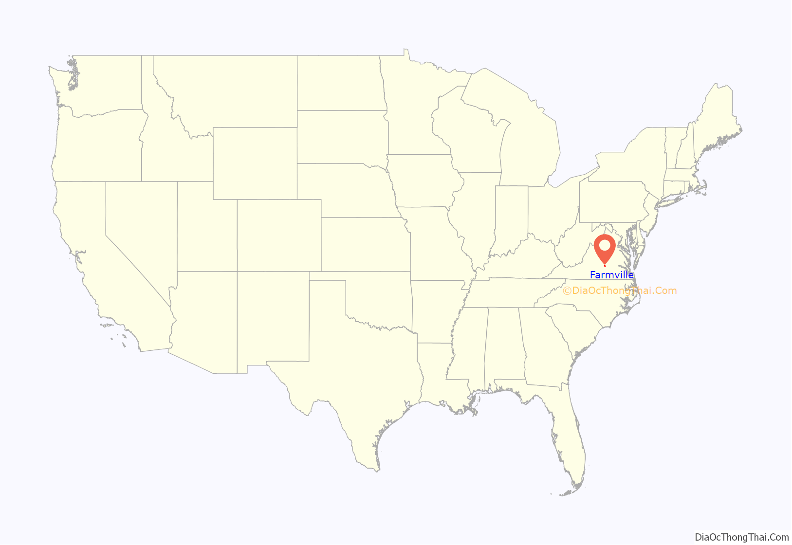
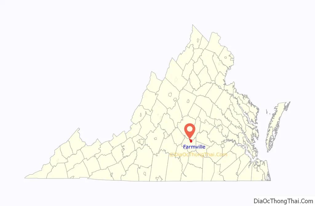
Farmville location map. Where is Farmville town?
History
Near the headwaters of the Appomattox River, the town of Farmville was formed in 1798 and incorporated in 1912.
Between 1795 and 1890, Farmville was the end of the line for the Upper Appomattox Canal Navigation System, built to improve navigation on the river. Enslaved African Americans built the canal system that allowed commodity crops of tobacco and farm produce to be loaded on a James River bateau in Farmville and shipped to Petersburg, Virginia. The canals were used until railroads were constructed in this area.
Many of the boatmen who worked near Farmville were free people of color. They lived in the Israel Hill community. Israel Hill was home to both White people and free African-American laborers, craftsmen, and farmers freed from the end of the Revolutionary War to around 1810. People of African and European descent worked for the same wages, built a church together, and could have resort to the court of law within the 350-acre town.
Local coal
John Flournoy was the first to mine coal near Farmville. He started in 1833 working on a seam, which was two feet thick. In 1837 the General Assembly granted a charter to The Prince Edward Coal Mining Company to mine and sell coal. This company was still in operation into the 1880s.
Another coal pit in the 1880s was worked on the W.W. Jackson property. The coal from this small pit was used to fuel his blacksmith shop on the same property.” The coal deposits are part of the Farmville Basin, one of the Eastern North America Rift Basins west of modern-day, Virginia State Route 45.
Southside Railroad
In the 1850s, the Southside Railroad from Petersburg to Lynchburg was built through Farmville. The route, which was subsidized by a contribution from Farmville, required an expensive crossing of the Appomattox River slightly downstream, which became known as the High Bridge. This became the Atlantic, Mississippi and Ohio Railroad in 1870; the Norfolk and Western Railway took it over, and now the line is part of the Norfolk Southern Railway.
The bridge and the rail line from Burkville to Pamplin City was converted by Virginia Department of Parks and Recreation into High Bridge Trail State Park, based on a rail to trail project.
Piedmont Mine
The Virginia General Assembly chartered the Piedmont Coal Company for John Dalby in 1860. The mine was near Buckingham Plank Road, Virginia State Route 600 in Cumberland, a mile and a half west of Raines Tavern, Virginia.
Without rail transportation close to Raines Tavern, the transportation cost of getting the coal to Farmville and then by rail to Richmond was too high to sell it at a competitive price. The coal was sold locally to people in the area for heating their homes.
During the American Civil War, the mines continued to operate but then production fell off. Coal was still there, though, Daddow and Bannon documented seven or eight coal seams and anthracite in 1866.
Civil War
Confederate General Robert E. Lee retreated through Farmville as he escaped the Union Army. Farmville was the object of the Confederate Army’s desperate push to get rations to feed its soldiers near the end of the American Civil War. The rations had originally been destined for Danville, but an alert quartermaster ordered the train back to Farmville. Despite an advance of the cavalry commanded by Fitzhugh Lee, the Confederate Army was checked by the arrival of Union cavalry commanded by Gen. Philip Sheridan and two divisions of infantry. General Robert E. Lee’s Army of Northern Virginia found itself soon surrounded. He surrendered at Appomattox Court House on April 9, 1865.
The Prince Edward county seat was moved from Worsham to Farmville in 1871.
Independent Order of Odd Fellows Cemetery
The Independent Order of Odd Fellows Cemetery, also known as the Odd Fellows Cemetery, is in Farmville, Virginia. Several prominent state legislators and civil rights advocates who were African American are buried in the cemetery. The cemetery also has approximately 31 headstones from World War I.
- James W. D. Bland, state senator
- Tazewell Branch (1828–1925) House of Delegates member
- Nathaniel M. Griggs, member of the Virginia House of Delegates and Virginia Senate
- L. Francis Griffin, civil rights campaigner who sued to stop segregation in Prince Edward County, Virginia‘s public schools
Clay brick kiln
There was a brick-making industry in Farmville, using the clay of the Farmville Basin. In 1874, M.R. Murkland built a kiln for his hand-formed bricks. He made around 600,000 bricks each year. The Triassic clay of the Farmville Basin was mixable and plastic enough and would not shrink too much, which made it suitable for bricks.
Rail transport
Rail Transport from Cumberland County helped Cumberland farmers sell fruits, vegetables and timber to Farmville markets. From 1884 to 1917, the Farmville and Powhatan Railroad, later named the Tidewater and Western Railroad, was important to Cumberland County residents for markets and transportation and the telegraph. The owners hoped that the line could ship products all the way to the end of the line in Chester, Virginia and docks in the Tidewater region to make the railroad profitable. The line had trouble competing with the Standard gauge Southside Railroad.
It was rumored that the coal near Farmville would draw the Orange & Keysville Railway which was chartered, graded and the right of way was purchased, between Farmville and Hampden Sydney. However, the rails were never laid down. The coal field was idle until 1891 when the Farmville Coal and Iron Company began leasing land, selling stock and reopened the Piedmont mines. The company built a one and a half mile spur rail line from the Farmville and Powhatan Railroad to the mine. This railroad provided transport from the mine to the docks at Bermuda Hundred in the Tidewater region. On Jan. 24, 1891, an editor of “The Financial Mining Record” suggested that the Farmville Coal & Iron Company, did not have enough coal production to justify a fraction of its stock price. The Norfolk and Western Railway, since 1883, had been bringing in coal from a new coal mine. The Pocahontas Coalfield which could provide coal more cheaply and ship the coal on a larger standard gauge, class one railroad. This decreased to the economic viability of mining coal in the Richmond and Farmville Basins. The Farmville Coal and Iron Company went bankrupt a few years later, possibly before any coal was mined.
The Farmville Coal & Iron Company did bring positive change. They requested that the town build an electric power plant and a waterworks. Designation of the power plant was established in 1890 and the water works were designated in 1893.
Farmville Lithia Springs
Farmville Lithia Springs bottled and sold mineral water from Farmville from 1884 to 1901. The lithia springs were considered as a possible destination for tourists but the investors decided to bottle the water and ship it. The water was tested and found to be superior to waters from Carlsbad, Germany. Lithia Springs Water from Farmville was shipped domestically and internationally for water cure. The springs were just north of the Appomattox River from Farmville.
Lithia Springs water contained the following minerals naturally occurring in the water.
- Lithia water
- Magnesium
- Chalybeate
- Iodine
- Alum
Economic disparity among diverse groups
In 1897, economic conditions were different for African-Americans, and white people in Farmville. Even though there were twice as many black people as white people, white people owned ten times the value of real estate. Without land or inherited wealth, black people found it difficult to get established. There were black shop keepers, bricklayers, tobacco workers, the shop keepers got money to buy their stores as laborers in New York. Many black men left to go north to make money leaving women behind. Among the black community, Israel Hill Hamlet was more stable, than other places because they owned their land.
Davis v. County School Board of Prince Edward County
Farmville and Prince Edward County Public Schools were the source of Davis v. County School Board of Prince Edward County (1952–54), a case incorporated into Brown v. Board of Education (1954), the landmark case that overturned school segregation in the United States. Among the cases consolidated into the Brown decision, the Davis case was the only one involving student protests.
R.R. Moton High School, an all-black school in Farmville named for Robert Russa Moton, suffered from terrible conditions due to underfunding by white officials in the segregated state. The school did not have a gymnasium, cafeteria, or teachers’ restrooms. Teachers and students did not have desks or blackboards, and due to overcrowding, some students had to take classes in a school bus parked outside. The school’s requests for additional funds were denied by the all-white school board. Students had protested against the poor conditions.
As a result of the Brown decision, in 1959 the Board of Supervisors for Prince Edward County refused to appropriate any funds for the County School Board; in massive resistance, it effectively closed all public schools rather than integrate them. Wealthy white students usually attended all-white private schools (segregation academies) that formed in response. Black and poorer white students had to go to school elsewhere or forgo their education altogether. Prince Edward County’s public schools remained closed for ten years. When they finally reopened, the system was fully integrated.
Prince Edward Academy was the longest-surviving of the segregation academies, still teaching students in 2019. Although technically integrated at that point, the school had few students of color. Prince Edward Academy was renamed the Fuqua School in honor of J. B. Fuqua, a wealthy businessman who was raised nearby and who has endowed the school.
The former R.R. Moton High School building was designated as a National Historic Landmark in 1998 for its significance to the Civil Rights Movement. It houses the Robert Russa Moton Museum, a center for the study of civil rights in education. In 2015, Longwood University and Moton Museum entered into a formal affiliation to advance understanding of the history of the struggle for civil rights.
National Register of Historic Places
The First Baptist Church, Farmville Historic District, Longwood House, Robert Russa Moton High School, Sayler’s Creek Battlefield, and Worsham High School are listed on the National Register of Historic Places.
Recent events
Farmville made headlines in September 2015 after being selected by the Commission on Presidential Debates to host the 2016 vice-presidential debate. The debate was held at Longwood University on October 4, 2016.
The town is crossed by the High Bridge Trail State Park which extends 4 miles (6 km) east to the historic High Bridge.
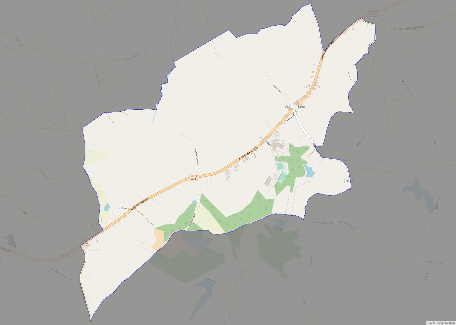
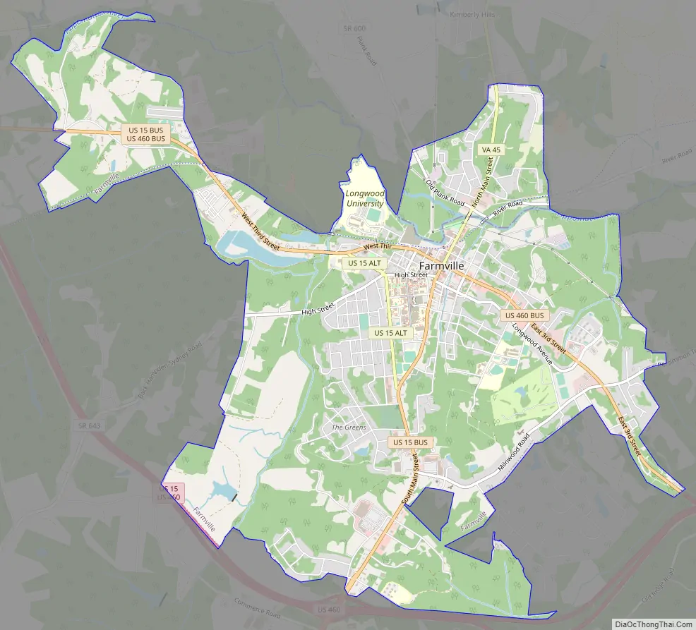
Farmville Road Map
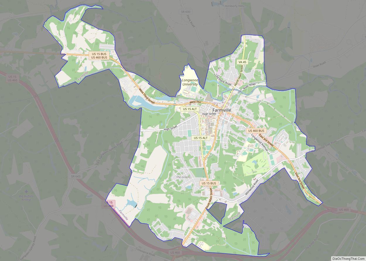
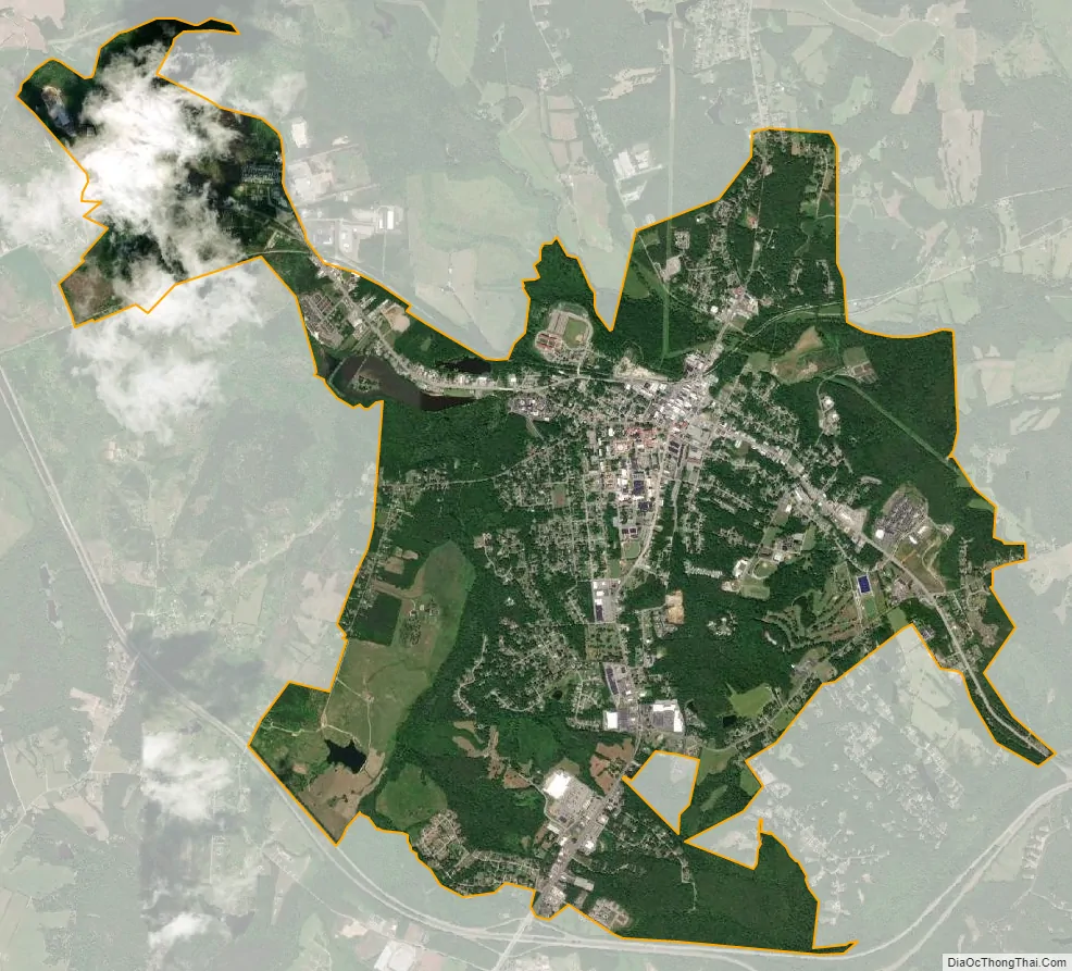
Farmville city Satellite Map
Geography
Farmville is located in northern Prince Edward County, with the town center situated south of the Appomattox River. A portion of the town extends north across the river into Cumberland County.
According to the United States Census Bureau, the town covers a total area of 7.3 square miles (19.0 km), of which 7.2 square miles (18.7 km) is land and 0.12 square miles (0.3 km), or 1.77%, is water.
Farmville is located between Petersburg and Lynchburg on U.S. Route 460. Petersburg is 67 miles (108 km) to the east, and Lynchburg is 48 miles (77 km) to the west.
Climate
The climate in this area is characterized by hot, humid summers and generally mild to cool winters. According to the Köppen Climate Classification system, Farmville has a humid subtropical climate, abbreviated “Cfa” on climate maps.
See also
Map of Virginia State and its subdivision:- Accomack
- Albemarle
- Alexandria
- Alleghany
- Amelia
- Amherst
- Appomattox
- Arlington
- Augusta
- Bath
- Bedford
- Bedford City
- Bland
- Botetourt
- Bristol
- Brunswick
- Buchanan
- Buckingham
- Buena Vista
- Campbell
- Caroline
- Carroll
- Charles City
- Charlotte
- Charlottesville
- Chesapeake
- Chesterfield
- Clarke
- Clifton Forge City
- Colonial Heights
- Covington
- Craig
- Culpeper
- Cumberland
- Danville
- Dickenson
- Dinwiddie
- Emporia
- Essex
- Fairfax
- Fairfax City
- Falls Church
- Fauquier
- Floyd
- Fluvanna
- Franklin
- Frederick
- Fredericksburg
- Galax
- Giles
- Gloucester
- Goochland
- Grayson
- Greene
- Greensville
- Halifax
- Hampton
- Hanover
- Harrisonburg
- Henrico
- Henry
- Highland
- Hopewell
- Isle of Wight
- James City
- King and Queen
- King George
- King William
- Lancaster
- Lee
- Lexington
- Loudoun
- Louisa
- Lunenburg
- Lynchburg
- Madison
- Manassas
- Manassas Park
- Martinsville
- Mathews
- Mecklenburg
- Middlesex
- Montgomery
- Nelson
- New Kent
- Newport News
- Norfolk
- Northampton
- Northumberland
- Norton
- Nottoway
- Orange
- Page
- Patrick
- Petersburg
- Pittsylvania
- Poquoson
- Portsmouth
- Powhatan
- Prince Edward
- Prince George
- Prince William
- Pulaski
- Radford
- Rappahannock
- Richmond
- Roanoke
- Roanoke City
- Rockbridge
- Rockingham
- Russell
- Salem
- Scott
- Shenandoah
- Smyth
- Southampton
- Spotsylvania
- Stafford
- Staunton
- Suffolk
- Surry
- Sussex
- Tazewell
- Virginia Beach
- Warren
- Washington
- Waynesboro
- Westmoreland
- Williamsburg
- Winchester
- Wise
- Wythe
- York
- Alabama
- Alaska
- Arizona
- Arkansas
- California
- Colorado
- Connecticut
- Delaware
- District of Columbia
- Florida
- Georgia
- Hawaii
- Idaho
- Illinois
- Indiana
- Iowa
- Kansas
- Kentucky
- Louisiana
- Maine
- Maryland
- Massachusetts
- Michigan
- Minnesota
- Mississippi
- Missouri
- Montana
- Nebraska
- Nevada
- New Hampshire
- New Jersey
- New Mexico
- New York
- North Carolina
- North Dakota
- Ohio
- Oklahoma
- Oregon
- Pennsylvania
- Rhode Island
- South Carolina
- South Dakota
- Tennessee
- Texas
- Utah
- Vermont
- Virginia
- Washington
- West Virginia
- Wisconsin
- Wyoming