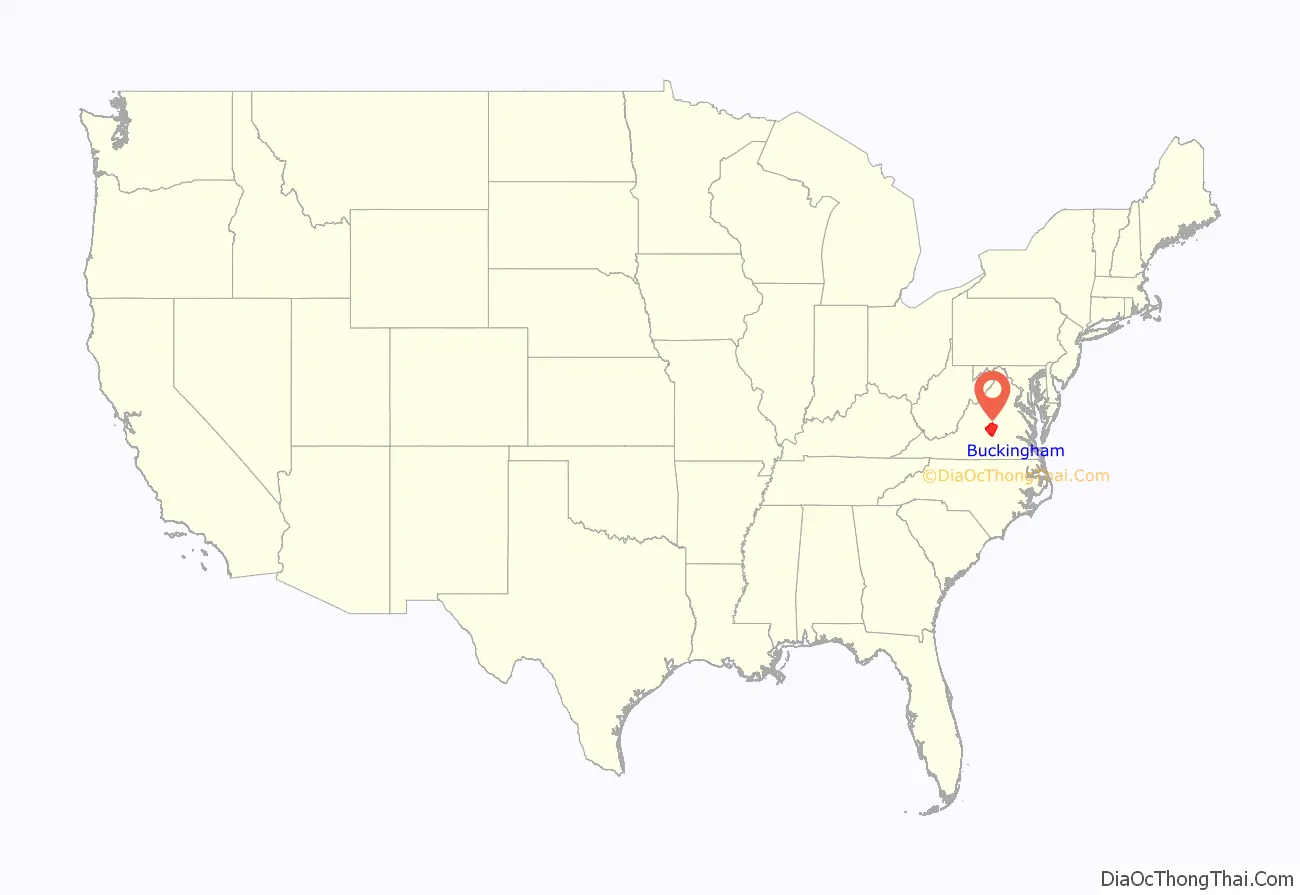
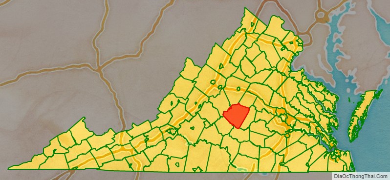
Buckingham County is a rural United States county located in the Commonwealth of Virginia, and containing the geographic center of the state. Buckingham County is part of the Piedmont region of Virginia, and the county seat is Buckingham.
Buckingham County was created in 1761 from the southeastern portion of Albemarle County and was predominantly farmland. The county was probably named in honor of the Duke of Buckingham, though the precise origin is uncertain. Several changes were made to the borders, until the existing boundaries were established in 1860.
As of the 2020 census, the county population was 16,824. Buckingham is part of the Charlottesville Metropolitan Statistical Area.
| Name: | Buckingham County |
|---|---|
| FIPS code: | 51-029 |
| State: | Virginia |
| Founded: | 1761 |
| Named for: | Duke of Buckingham |
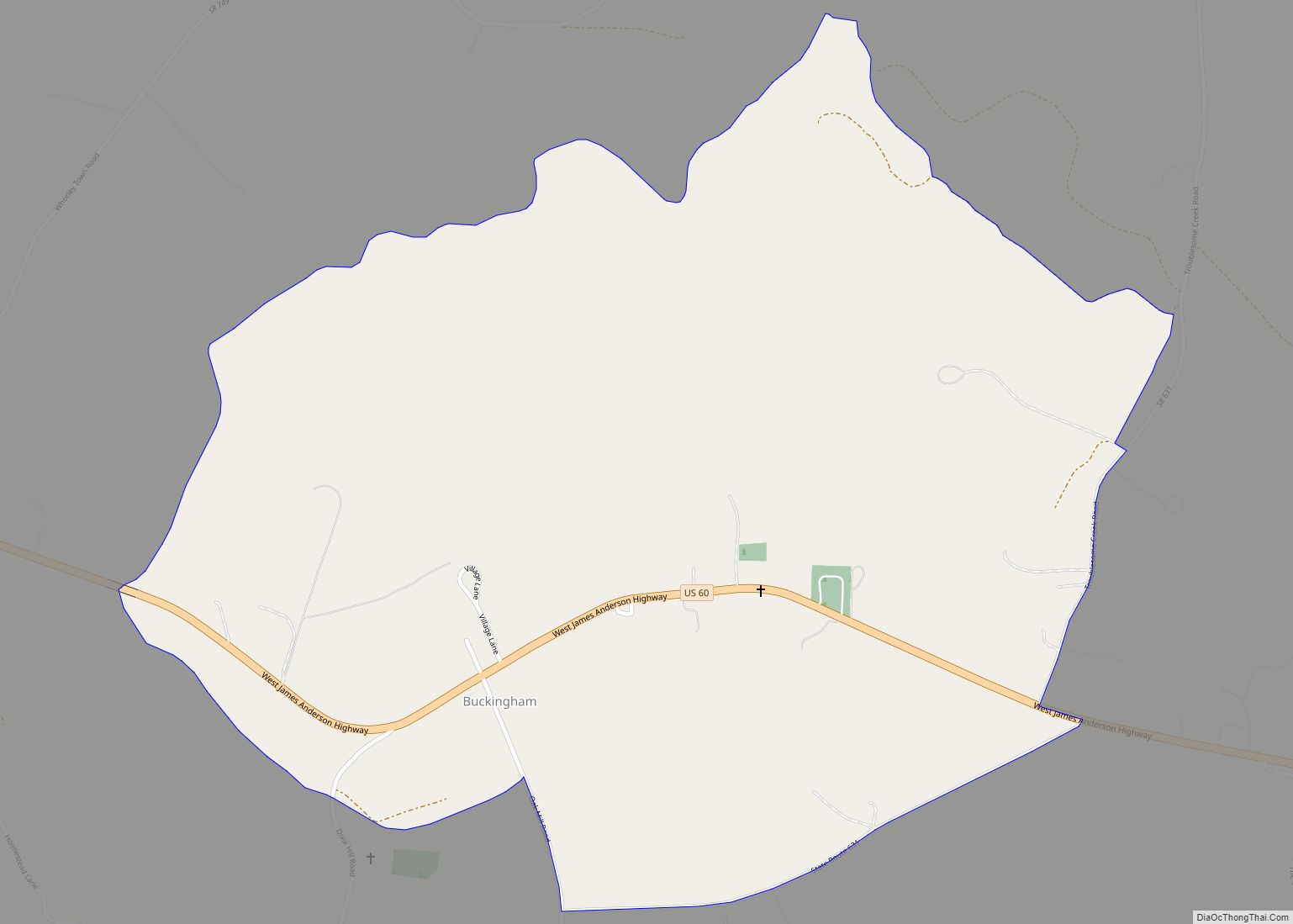
| Seat: | Buckingham |
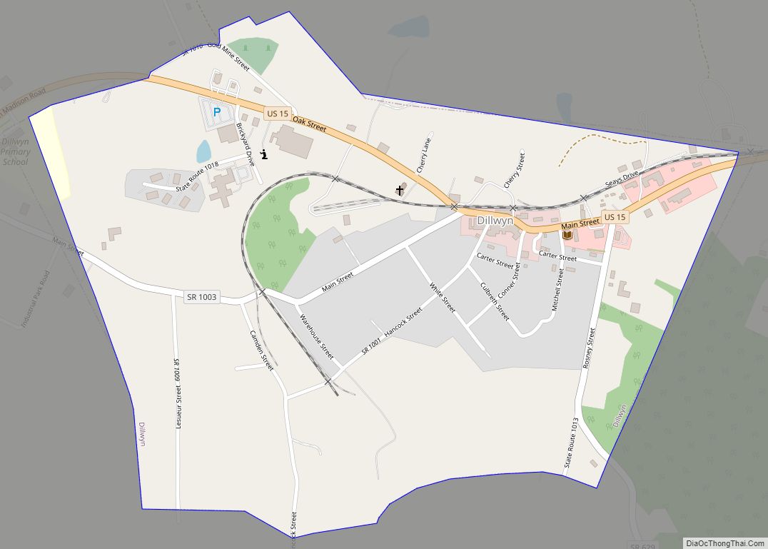
| Largest town: | Dillwyn |
| Total Area: | 584 sq mi (1,510 km²) |
| Land Area: | 580 sq mi (1,500 km²) |
| Total Population: | 16,824 |
| Population Density: | 29/sq mi (11/km²) |
Buckingham County location map. Where is Buckingham County?
History
Buckingham County, lying south of the James River and in the Piedmont at the geographic center of the state, was established on May 1, 1761 from the southeastern portion of Albemarle County. The origin of the county name probably comes from the Duke of Buckingham (Buckinghamshire, England). Some sources say that the county was named for Archibald Cary’s estate “Buckingham,” which was located on Willis Creek. This is the only Buckingham County in the United States.
In 1778 a small triangular area bordering the James River was given to Cumberland County. In 1845, another part was taken from Buckingham to form the northern portion of Appomattox County. A final adjustment of the Appomattox-Buckingham county line was made in 1860, and Buckingham’s borders then became fixed in their current form. A fire destroyed the courthouse (designed by Thomas Jefferson) in 1869, and most of the early records of this county were lost.
In the nineteenth century the county was settled more heavily by people migrating from the Tidewater area. It was devoted chiefly to plantations, worked by enslaved African Americans. These were converted from tobacco cultivation to mixed farming and pulpwood harvesting as the markets changed and the soil became exhausted from tobacco. These new types of uses required fewer slaves, and many were sold from the Upper South in the domestic slave trade to the Deep South, where cotton cultivation expanded dramatically in the antebellum period.
During the twentieth century, Joe Thompson bought the Buckingham Mill. In 1945 he put into place the long system of utilizing grain which used sifters as the grain was ground. Seven years later he added grain elevators. This was the last mill to make flour in Buckingham County and represents a time when America relied on the small farm and small business owner.
In the 21st century, large tracts of land are held by companies such as WestVaco, which sell pulpwood and other timber products to the paper mills and wood product producers. It is still largely rural, with areas devoted to recreation such as fishing and hunting. The County is home to families who can trace their ancestry to the early colonial history of Virginia. Many families still live on tracts of land that were granted to their ancestors in that period. Some of the land grants were originally given to French Huguenots, who resettled from London, England in the southwestern part of the county in the early 1700s.
During the American Civil War, General Robert E. Lee’s army marched through the county during his retreat on their way to surrender at Appomattox, Virginia. A marker in the cemetery of Trinity Presbyterian Church in New Canton reads,
In 2011, the county celebrated its 250th anniversary.
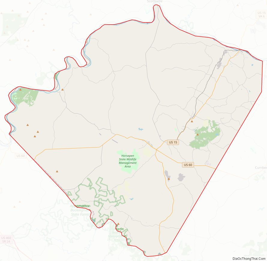
Buckingham County Road Map
Geography
According to the U.S. Census Bureau, the county has a total area of 584 square miles (1,510 km), of which 580 square miles (1,500 km) is land and 3.9 square miles (10 km) (0.7%) is water.
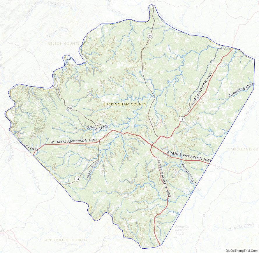
The geographic center of Virginia is located in Buckingham County, near the Mt. Rush community.
Adjacent counties
- Fluvanna County – northeast
- Cumberland County – east
- Prince Edward County – south
- Appomattox County – southwest
- Nelson County – west
- Albemarle County – northwest
Major highways
- US 15
- US 60
- SR 20
- SR 24
- SR 56
Buckingham County Topographic Map
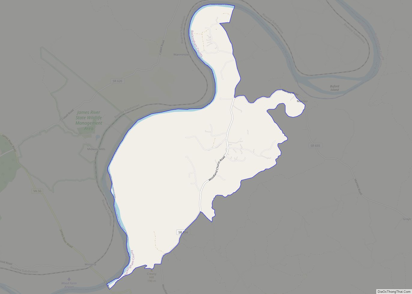
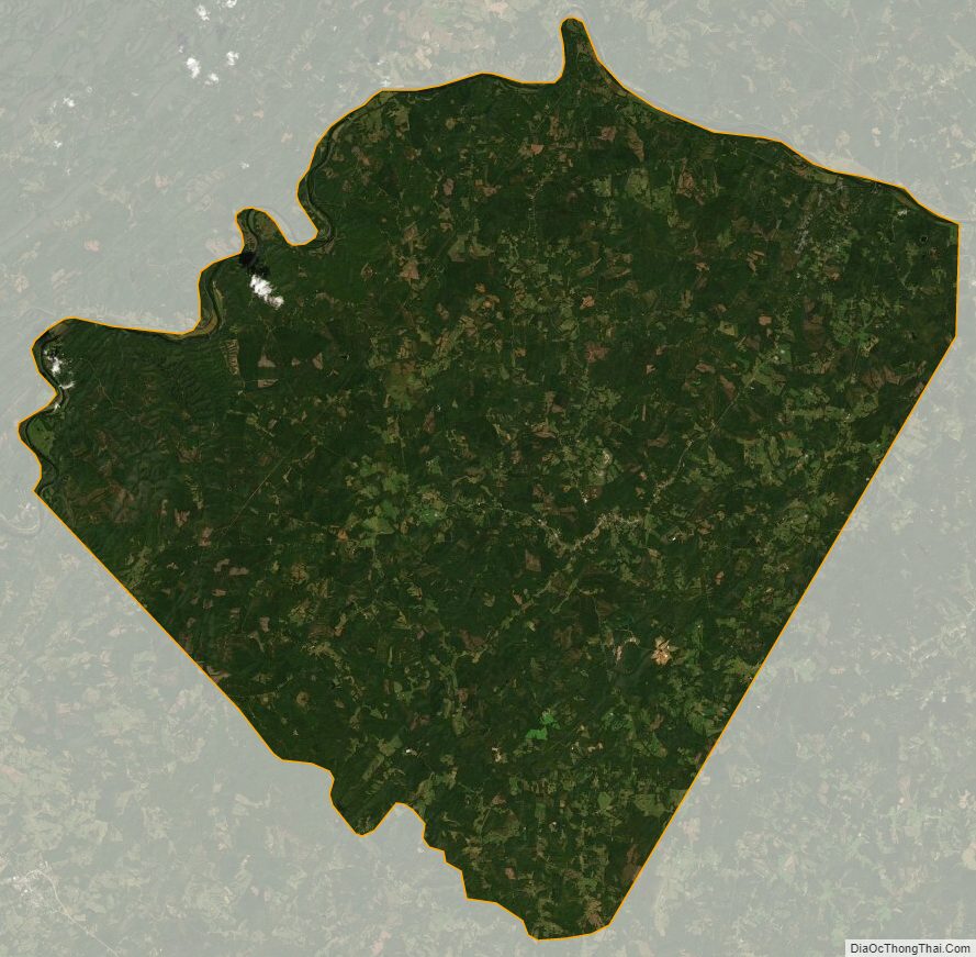
Buckingham County Satellite Map
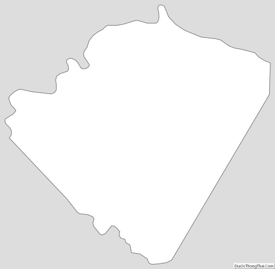
Buckingham County Outline Map