Red River County is a county in the U.S. state of Texas. As of the 2010 census, its population was 11,587. Its county seat is Clarksville. The county was created in 1835 and organized in 1837. It is named for the Red River, which forms its northern boundary. Red River County was the birthplace of John Nance Garner, 32nd Vice President of the United States.
| Name: | Red River County |
|---|---|
| FIPS code: | 48-387 |
| State: | Texas |
| Founded: | 1837 |
| Named for: | Red River of the South |
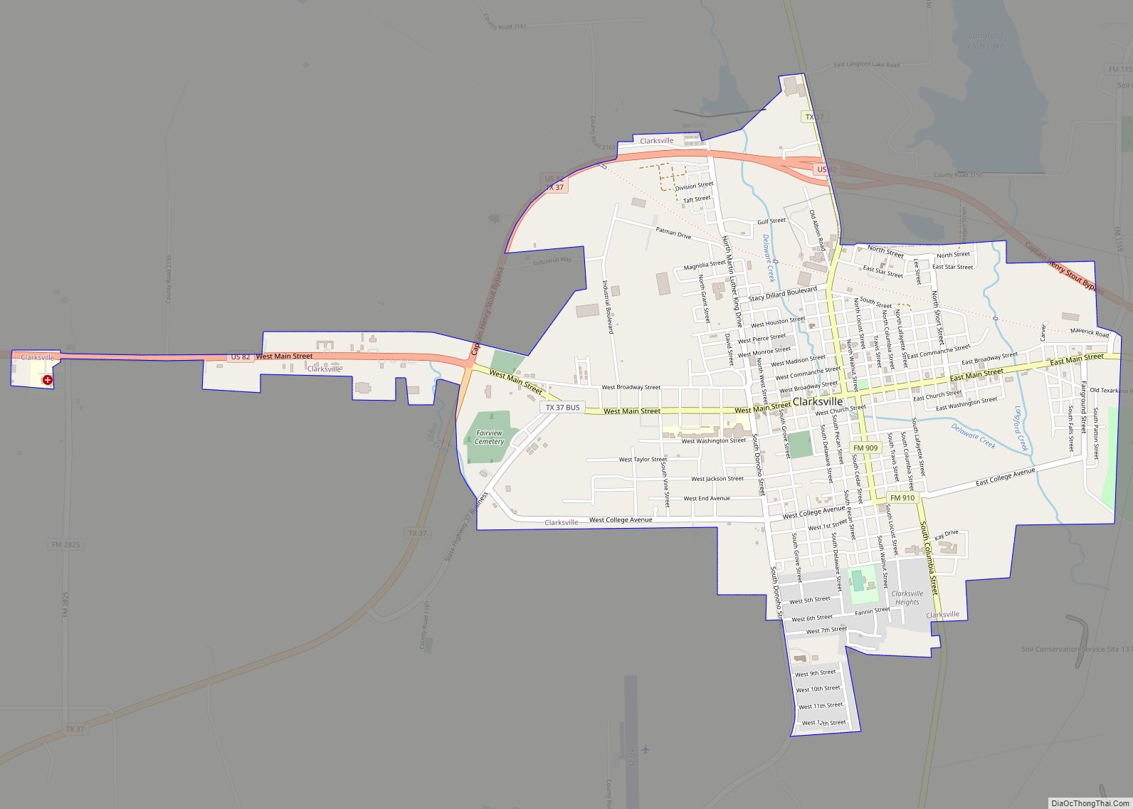
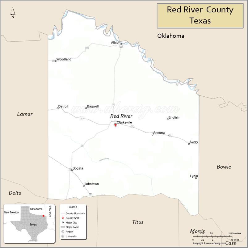
| Seat: | Clarksville |
| Largest city: | Clarksville |
| Total Area: | 1,057 sq mi (2,740 km²) |
| Land Area: | 1,037 sq mi (2,690 km²) |
| Total Population: | 11,587 |
| Population Density: | 11/sq mi (4.2/km²) |
| Time zone: | UTC−6 (Central) |
| Summer Time Zone (DST): | UTC−5 (CDT) |
| Website: | www.co.red-river.tx.us |
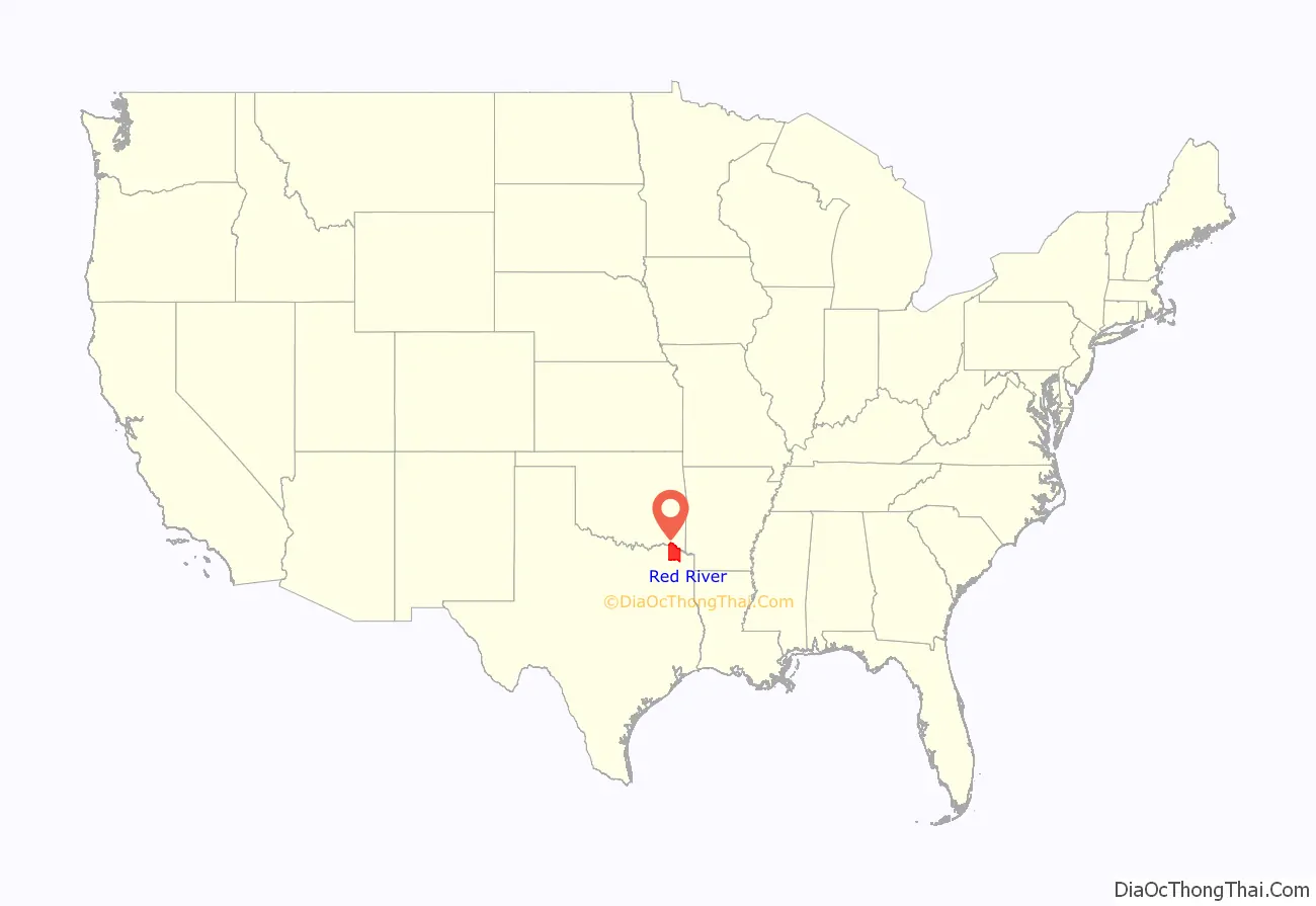
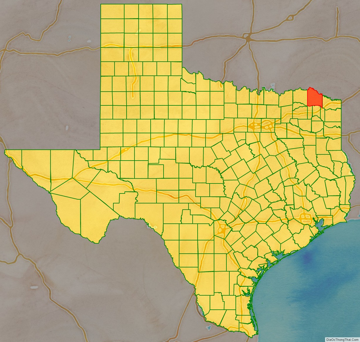
Red River County location map. Where is Red River County?
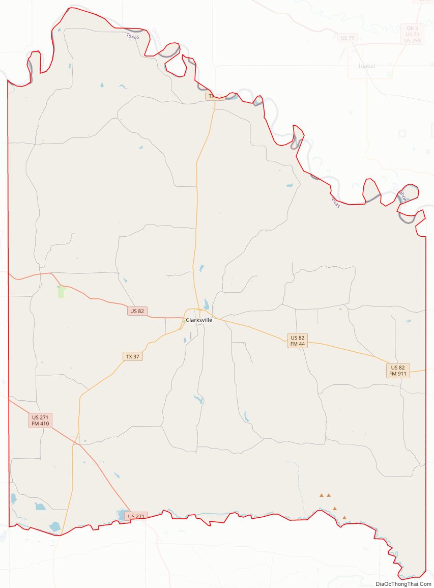
Red River County Road Map
Geography
According to the U.S. Census Bureau, the county has a total area of 1,057 square miles (2,740 km), of which 1,037 square miles (2,690 km) is land and 20 square miles (52 km) (1.9%) is water.
Major highways
- U.S. Highway 82
- U.S. Highway 271
- State Highway 37
Adjacent counties
- McCurtain County, Oklahoma (north)
- Bowie County (east)
- Morris County (southeast)
- Titus County (south)
- Franklin County (southwest)
- Delta County (southwest)
- Lamar County (west)
- Choctaw County, Oklahoma (northwest)
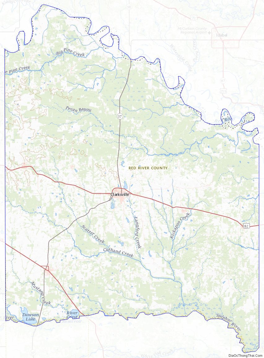
Red River County Topographic Map
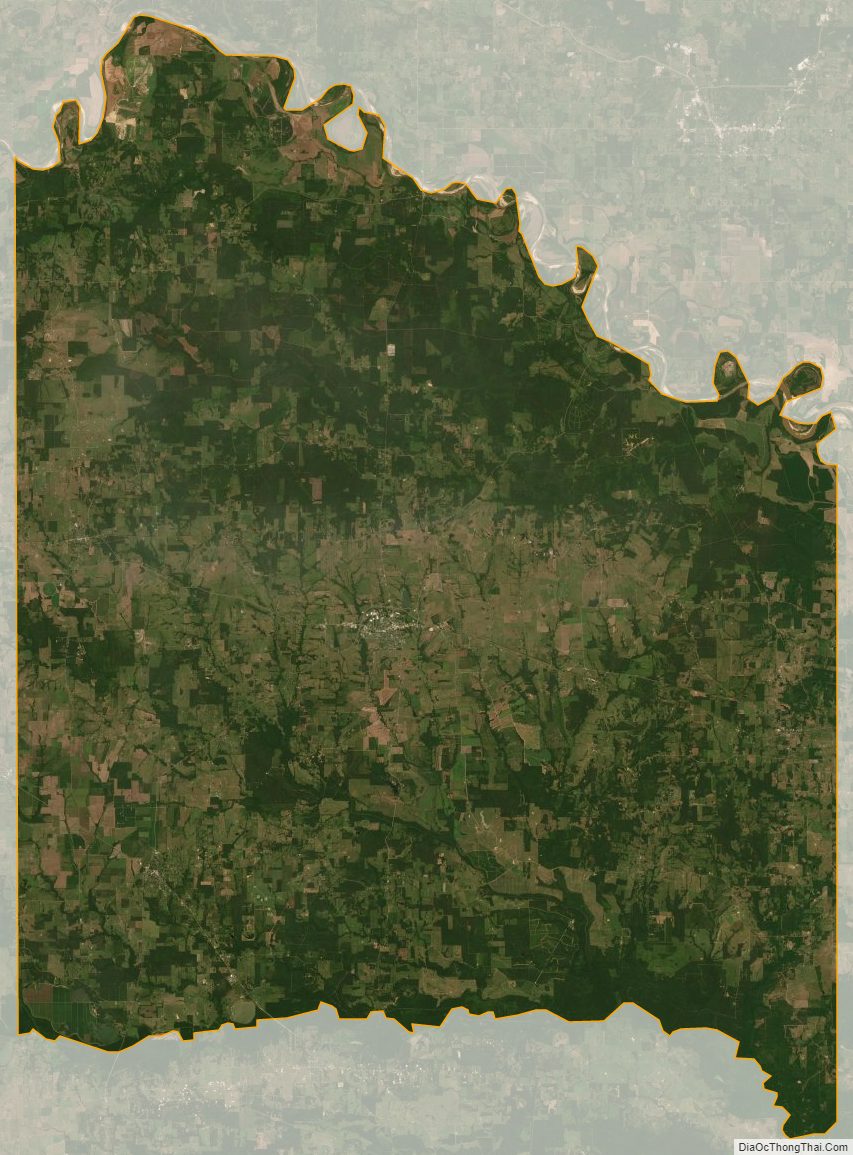
Red River County Satellite Map
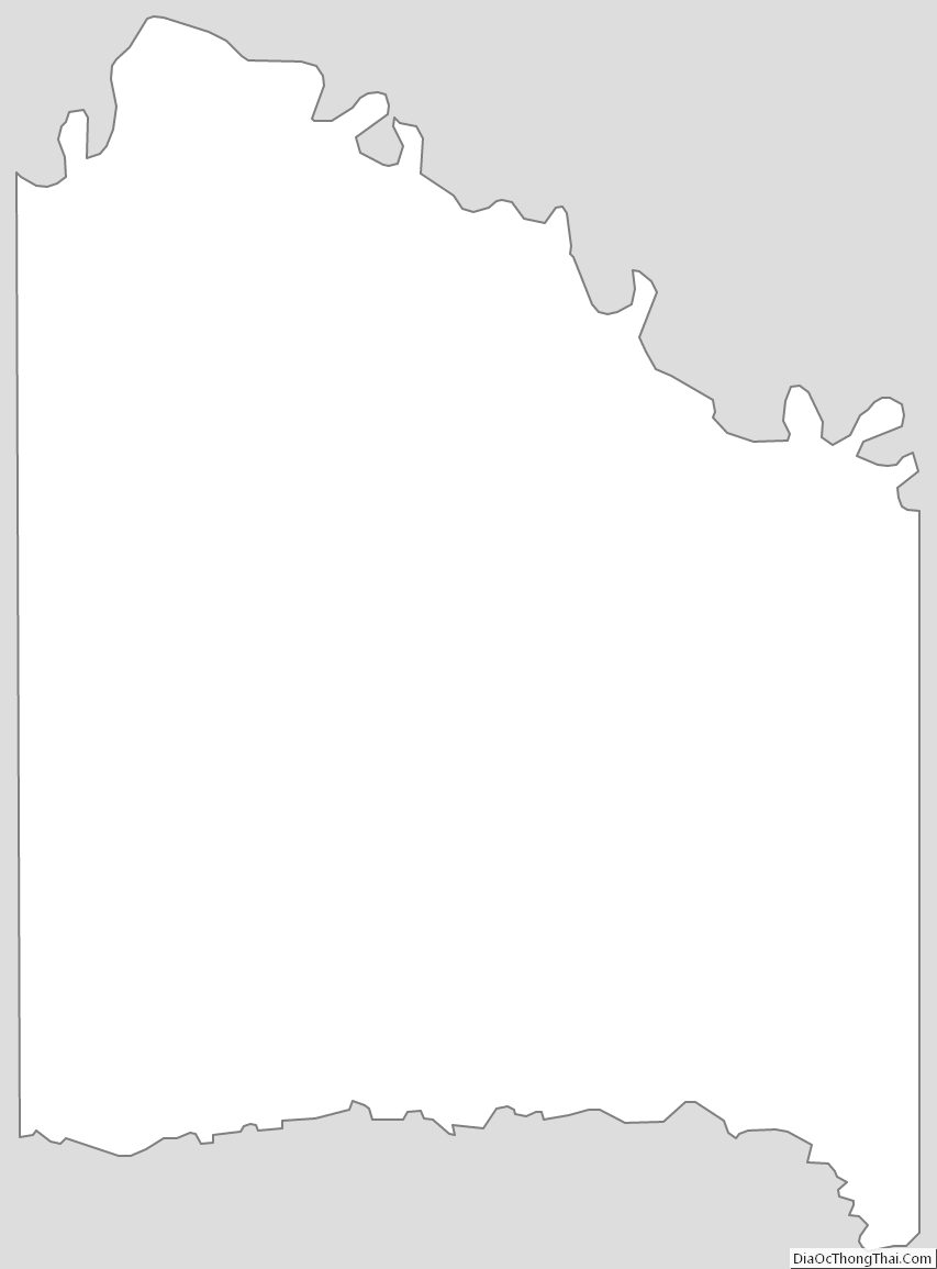
Red River County Outline Map