Dewey County is a county in the U.S. state of South Dakota. As of the 2020 census, the population was 5,239. Its county seat is Timber Lake. The county was created in 1883 and organized in 1910. It was named for William P. Dewey, Territorial surveyor-general from 1873 to 1877.
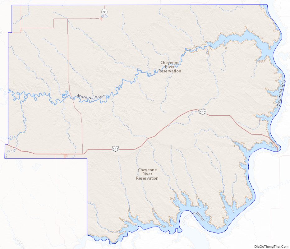
Almost the entire county lies in the Cheyenne River Indian Reservation. The balance of the county, along its extreme northern county line, lies in the Standing Rock Indian Reservation. It is one of five South Dakota counties that are contained within Indian reservations.
| Name: | Dewey County |
|---|---|
| FIPS code: | 46-041 |
| State: | South Dakota |
| Founded: | 1873 |
| Named for: | William P. Dewey |
| Seat: | Timber Lake |
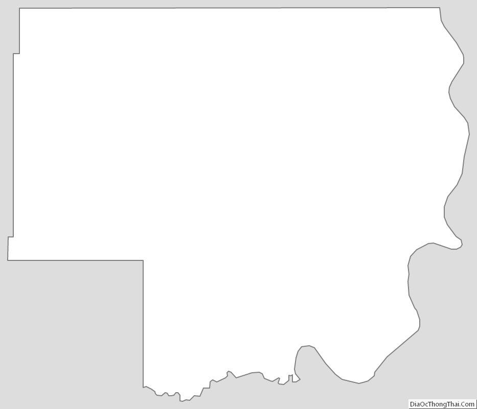
| Total Area: | 2,445 sq mi (6,330 km²) |
| Land Area: | 2,302 sq mi (5,960 km²) |
| Total Population: | 5,239 |
| Population Density: | 2.1/sq mi (0.83/km²) |
| Time zone: | UTC−7 (Mountain) |
| Summer Time Zone (DST): | UTC−6 (MDT) |
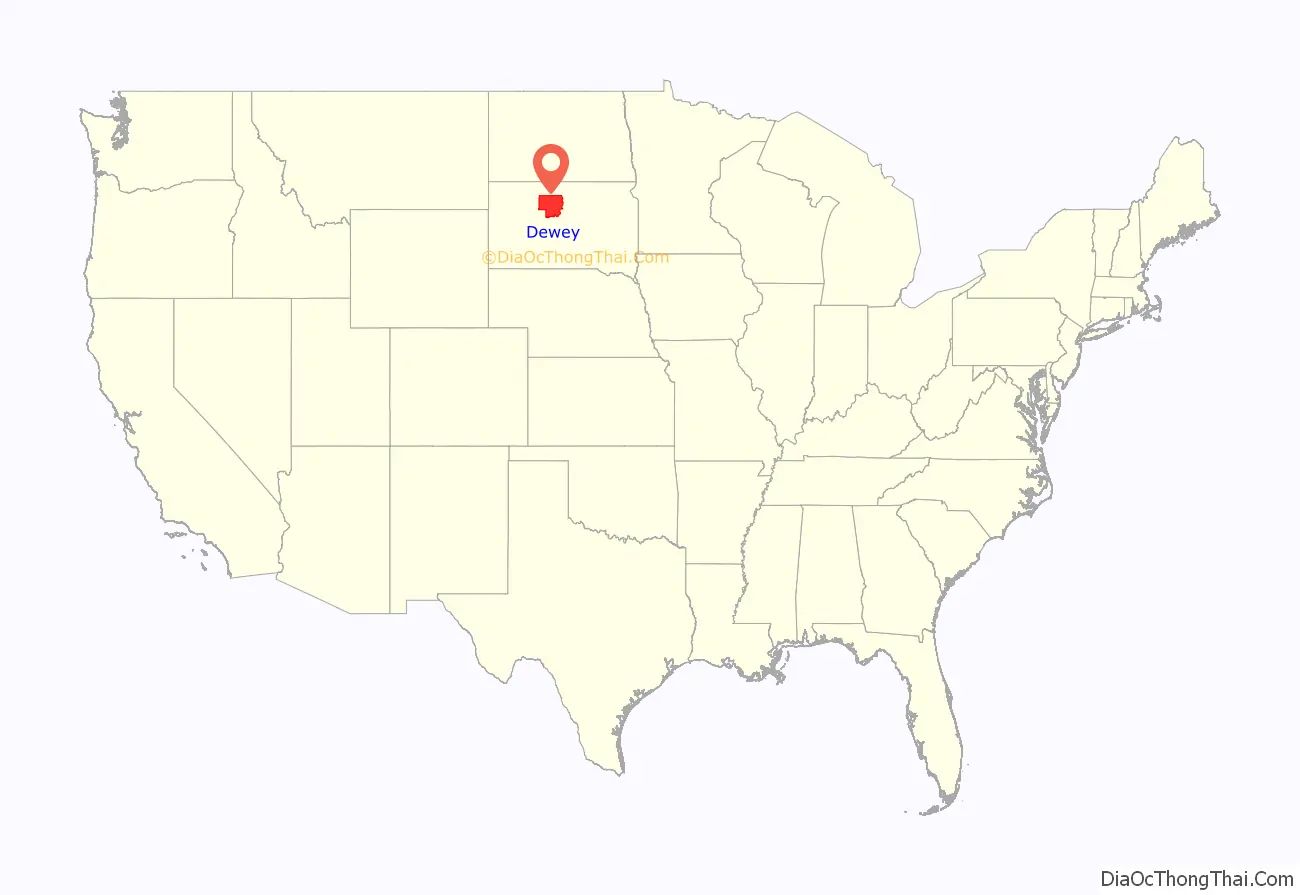
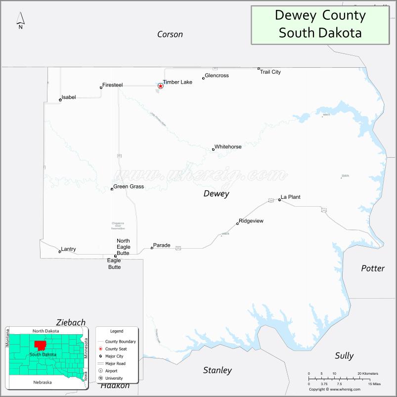
Dewey County location map. Where is Dewey County?
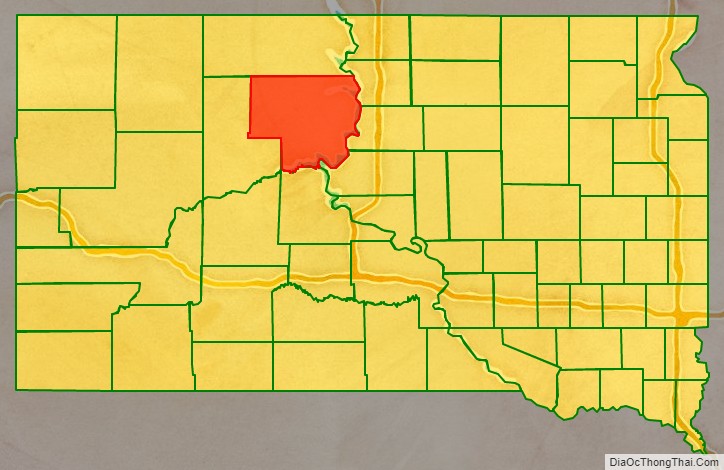
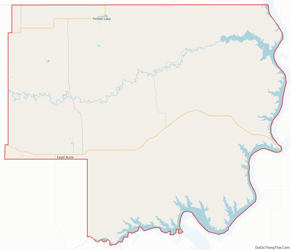
Dewey County Road Map
Geography
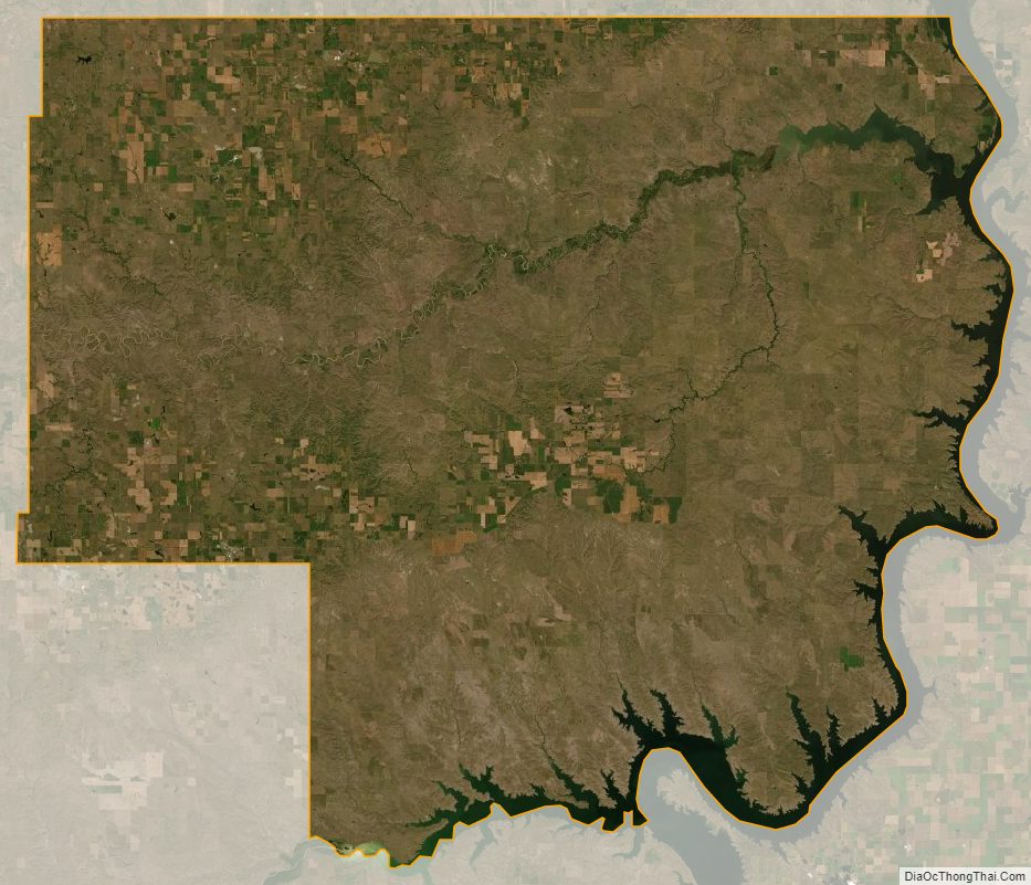
The Moreau River flows east-northeasterly through the upper central parts of Dewey County, discharging into the Missouri River near the county’s NE corner. Smaller drainages move runoff water northward from the central-eastern portions to the Missouri River, discharging near the community of Promise. A significant arm of the Missouri River forms the county’s southeastern border. The county terrain consists of rolling hills, sloping southeastward and dropping off into the Missouri River basin.
The county has a total area of 2,445 square miles (6,330 km), of which 2,302 square miles (5,960 km) is land and 143 square miles (370 km) (5.8%) is water.
The eastern portion of South Dakota’s counties (48 of 66) observe Central Time; the western counties (18 of 66) observe Mountain Time. Dewey County is the easternmost of the SD counties to observe Mountain Time.
Major highways
- U.S. Highway 212
- South Dakota Highway 20
- South Dakota Highway 63
- South Dakota Highway 65
Adjacent counties
- Corson County – north
- Walworth County – northeast (observes Central Time)
- Potter County – east (observes Central Time)
- Sully County – southeast (observes Central Time)
- Stanley County – south
- Ziebach County – west
Protected Areas
- Firesteel Dam State Game Production Area
- Isabel Lake State Game Production Area
- Little Moreau State Game Production Area
- Little Moreau State Recreation Area
Lakes
- Lake Isabel
- Lake Oahe (partial)
- Little Moreau Lake
Dewey County Topographic Map
Dewey County Satellite Map
Dewey County Outline Map