| Name: | Doddridge County |
|---|---|
| FIPS code: | 54-017 |
| State: | West Virginia |
| Founded: | February 4, 1845 |
| Named for: | Philip Doddridge |
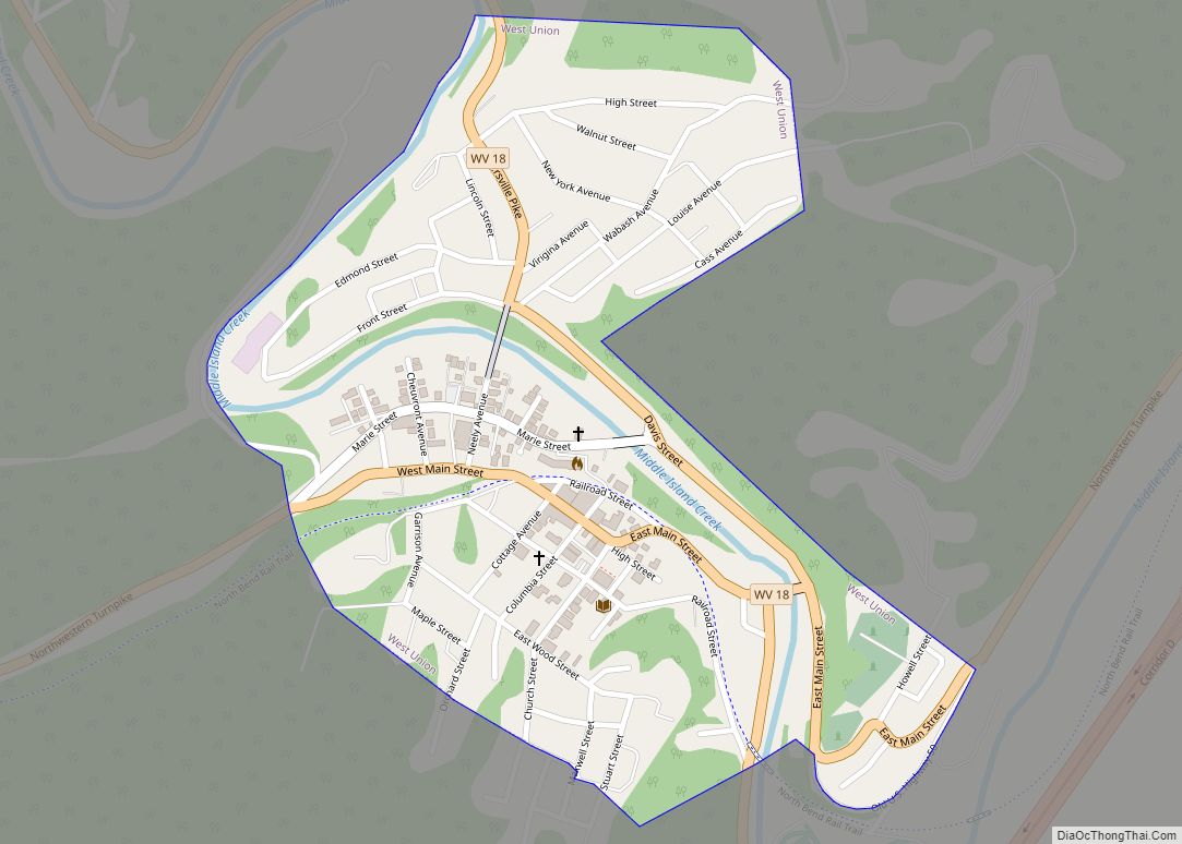
| Seat: | West Union |
| Largest town: | West Union |
| Total Area: | 320 sq mi (800 km²) |
| Land Area: | 320 sq mi (800 km²) |
| Total Population: | 7,808 |
| Population Density: | 24/sq mi (9.4/km²) |
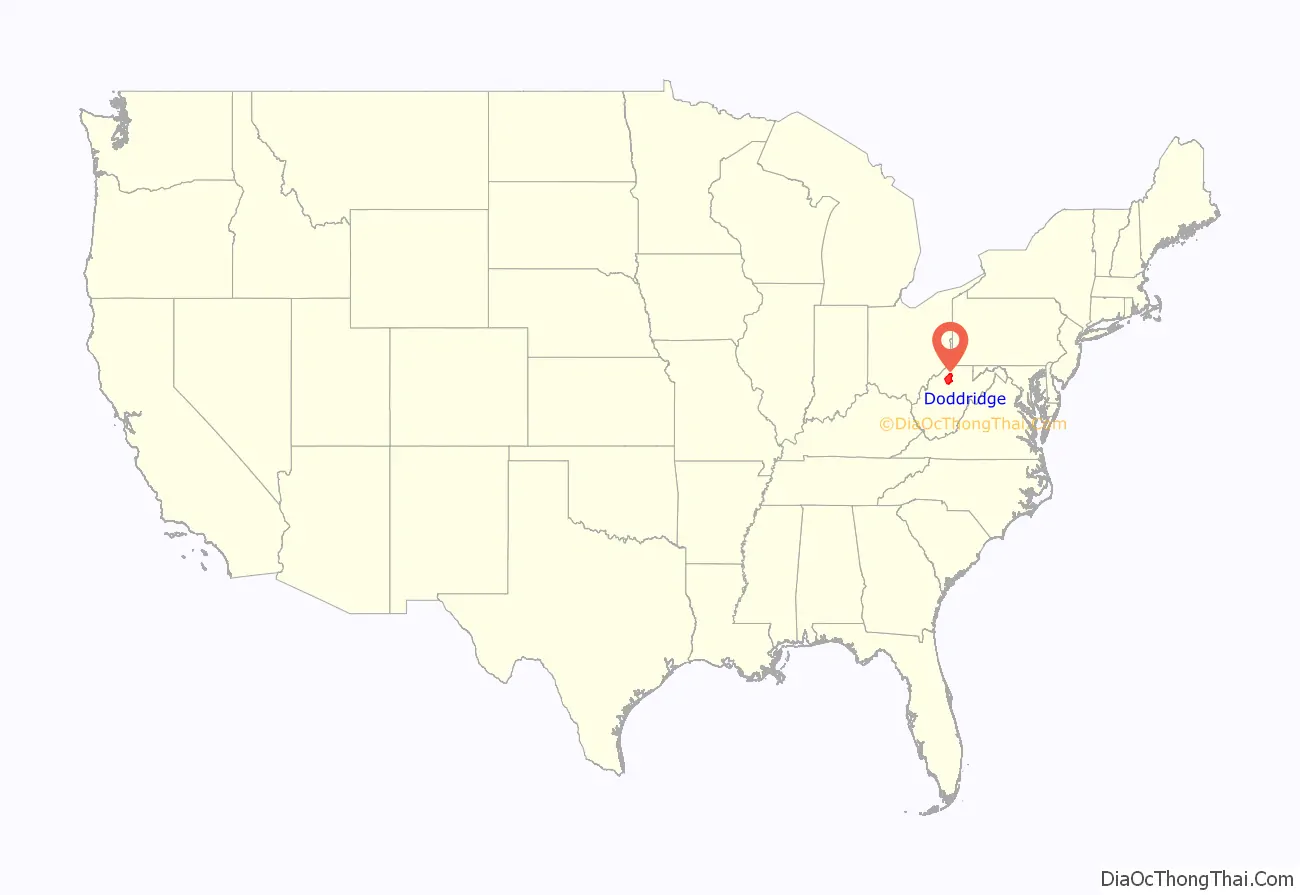
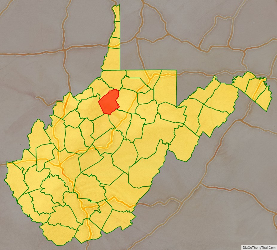
Doddridge County location map. Where is Doddridge County?
History
First settlers
The area that became Doddridge County, Virginia — now West Virginia — was first settled in the late 1780s by James Caldwell, who owned 20,000 acres (81 km) of land that included present West Union. Caldwell sold this land to Nathan Davis, Jr (1772-1866) and his brothers Joseph and William around 1807. They in turn sold 16,000 acres (65 km) to Lewis Maxwell (1790-1862), a Virginia Assembly delegate in the 1820s who later became a U.S. Congressman. In 1828 Ephraim Bee, Sr (1802–1888) and his wife Catherine established a log home on Meathouse Fork of Middle Island Creek, now part of West Union. They built an Inn across the “Creek” (really a river) at what was then called Lewisport (Congressman Maxwell’s namesake), below a blockhouse on the Northwestern Turnpike. The “Beehive Inn” became a popular place for travelers and locals to meet, refresh themselves and re-provision. Bee operated the first local blacksmith shop; a farm, stables, tannery and horse-racing track soon followed.
According to Ephraim’s father, A.A. Bee: “The first bridge across Middle Island Creek [at West Union] was of hewed logs with a center abutment of stones. In the great flood of 1835 it was washed away”. In 1842, a contract was awarded to the well-known civil engineer Claudius Crozet to build a covered bridge at West Union, as part of a series of public works along the Turnpike. Ephraim Bee was later to become a district officer, magistrate, state legislator, hotelier, and postmaster. As blacksmith, he made all the bolts and bands for the West Union Covered Bridge, completed in 1843.
New county
Doddridge County was officially created in 1845 from parts of Harrison, Tyler, Ritchie, and Lewis Counties of what was then still Virginia. It was named for Philip Doddridge (1773–1832), the late statesman of western Virginia who was the leading voice for westerners during the Virginia Constitutional Convention of 1829–1830. When it was announced the new county would be formed, Ephraim Bee rallied to locate the county seat at Lewisport. But Nathan Davis, Jr (who was Ephraim’s wife’s uncle), William Fitz Randolph, and others, won out in favor of West Union, across the river on the south side. There Ethelbert Bond (Nathan’s son-in-law and William’s wife’s cousin) laid out the town lots in regular fashion on land formerly owned by Davis.
Progress of the Baltimore and Ohio Railroad, on its way from Clarksburg to Parkersburg, reached and bisected the county in 1856.
On the night of March 27, 1858, a fire devastated the town of West Union.
West Virginia became a state following the Wheeling Conventions of 1861, after the American Civil War had begun.
In 1863, West Virginia’s counties were divided into civil townships, with the intention of encouraging local government. This proved impractical in the heavily rural state, and in 1872 the townships were converted into magisterial districts. Doddridge County was divided into six districts: Central, Grant, McClellan, New Milton, Southwest, and West Union. A seventh district, Greenbrier, was created from part of New Milton in 1885; and an eighth, Cove, was formed from part of Southwest District between 1890 and 1900. The historic magisterial districts were consolidated into four new districts between 1980 and 1990: Beech, Maple, Oak, and Pine.
Maxwell Ridge — named for the Congressman’s family — is said to have a cave (Gatrell Cave) that was used by the Underground Railroad in the years leading up to the Civil War. Another nearby grotto, Jaco Cave, is said to have been used for the same purpose and is also featured in a movie from the 1970s called “No Drums, No Bugles” which features some locals as well as Martin Sheen, father of Charlie Sheen.
The county seat of West Union was incorporated on July 20, 1881.
Oil and gas boom
Doddridge County’s oil and gas industry was an enormous boon to residents. The county’s first oil pool, at Center Point, was discovered (“brought in” as it was then termed) and drilled in 1892. This was an extension of the technology and boom of the western Pennsylvania oil and gas fields into Tyler and Doddridge Counties. Many farm owners, and sons of farm owners, split their time between their farmwork and the petroleum operations. Almost every local farm benefited from this as free gas was piped to the farmhouses of many landowners. Gas was soon used for heating, lighting, and cooking, which replaced the wood stoves, kerosene and candles of previous generations. By 1906, the Ideal Glass Factory opened to take advantage of the abundant natural gas. It was followed by the Doddridge County Window Glass Company. The two plants employed about 300 people. In later years a garment factory opened, but closed in the mid 1990s.
A long-remembered flood devastated West Union in June 1950, destroying homes and businesses and killing more than 20 people throughout the county. (One casualty was the 107-year-old covered bridge.)
Today farming, timbering, oil and gas, and the business of county government and public education support the area, and many people commute to jobs in Salem, Clarksburg, and Parkersburg, or to the North Central Regional Jail in Greenwood.
The Lathrop Russell Charter House, Doddridge County Courthouse, Silas P. Smith Opera House, and W. Scott Stuart House are individually listed on the National Register of Historic Places. West Union is also home to two nationally recognized historic districts: West Union Downtown Historic District and West Union Residential Historic District.
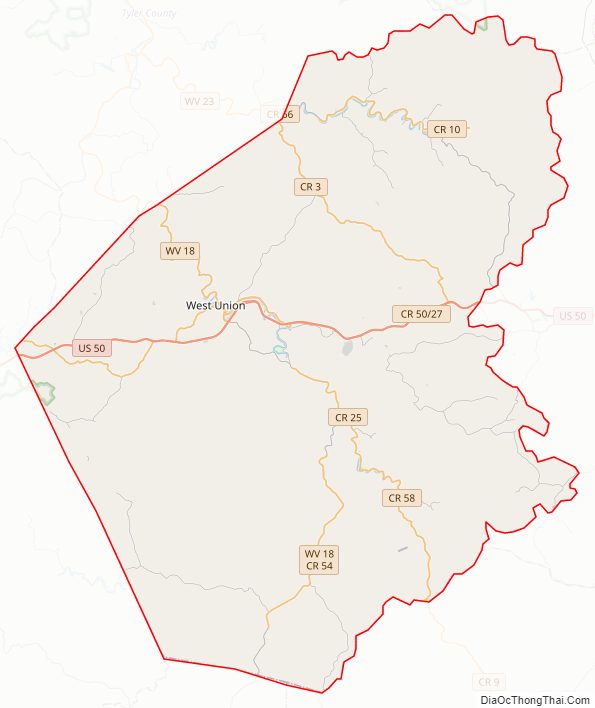
Doddridge County Road Map
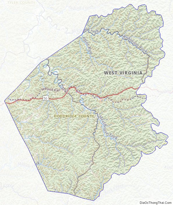
Geography
According to the United States Census Bureau, the county has a total area of 320 square miles (830 km), of which 320 square miles (830 km) is land and 0.8 square miles (2.1 km) (0.2%) is water.
Major highways
- U.S. Route 50
- West Virginia Route 18
- West Virginia Route 23
Adjacent counties
- Wetzel County (north)
- Harrison County (east)
- Lewis County (southeast)
- Gilmer County (south)
- Ritchie County (west)
- Tyler County (northwest)
Doddridge County Topographic Map
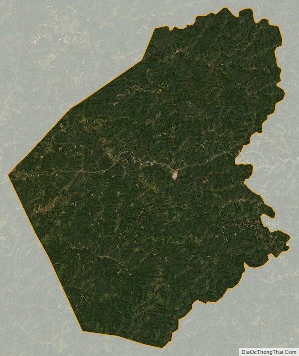
Doddridge County Satellite Map
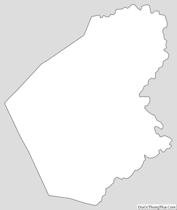
Doddridge County Outline Map