Davenport is a city in and the county seat of Scott County, Iowa, United States. Located along the Mississippi River on the eastern border of the state, it is the largest of the Quad Cities, a metropolitan area with a population of 384,324 and a combined statistical area population of 474,019, ranking as the 147th-largest MSA and 91st-largest CSA in the nation. According to the 2020 census, the city had a population of 101,724, making it Iowa’s third-largest city. Davenport was founded on May 14, 1836, by Antoine Le Claire and named for his friend George Davenport.
The city is prone to frequent flooding due to its location on the Mississippi River. There are two main universities: St. Ambrose University and Palmer College of Chiropractic, where the first chiropractic adjustment took place. Several annual music festivals take place in Davenport, including the Mississippi Valley Blues Festival, the Mississippi Valley Fair, and the Bix Beiderbecke Memorial Jazz Festival. An internationally known 7-mile (11 km) foot race, called the Bix 7, is run during the festival. The city has a Class A minor-league baseball team, the Quad Cities River Bandits. Davenport has 50 plus parks and facilities, as well as more than 20 miles (32 km) of recreational paths for biking or walking.
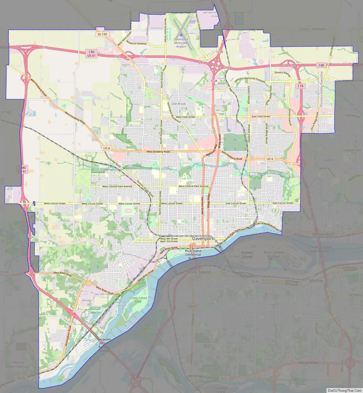
Three interstates (80, 74 and 280) and two major United States Highways serve the city. Davenport has seen steady population growth since its incorporation. National economic difficulties in the 1980s resulted in job and population losses. Notable people from the city have included jazz legend Bix Beiderbecke, Pulitzer Prize-winning playwright Susan Glaspell, former National Football League running back Roger Craig, UFC Welterweight Champion Pat Miletich, IBF Middleweight and WBA Super Middleweight boxing champion Michael Nunn, and former two-time WWE Champion and WWE Universal Champion Seth Rollins.
| Name: | Davenport city |
|---|---|
| LSAD Code: | 25 |
| LSAD Description: | city (suffix) |
| State: | Iowa |
| County: | Scott County |
| Incorporated: | January 25, 1839 |
| Elevation: | 580 ft (180 m) |
| Land Area: | 63.80 sq mi (165.23 km²) |
| Water Area: | 2.12 sq mi (5.50 km²) |
| Population Density: | 1,594.55/sq mi (615.65/km²) |
| Area code: | 563 |
| FIPS code: | 1919000 |
| Website: | www.davenportiowa.com |
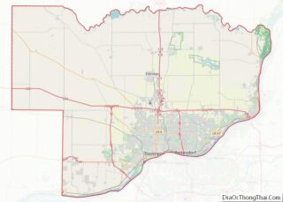
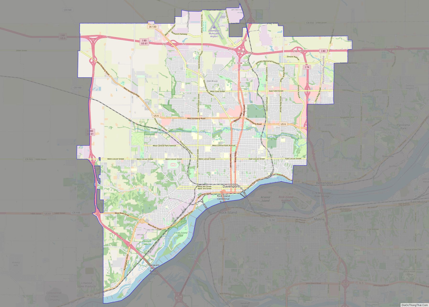
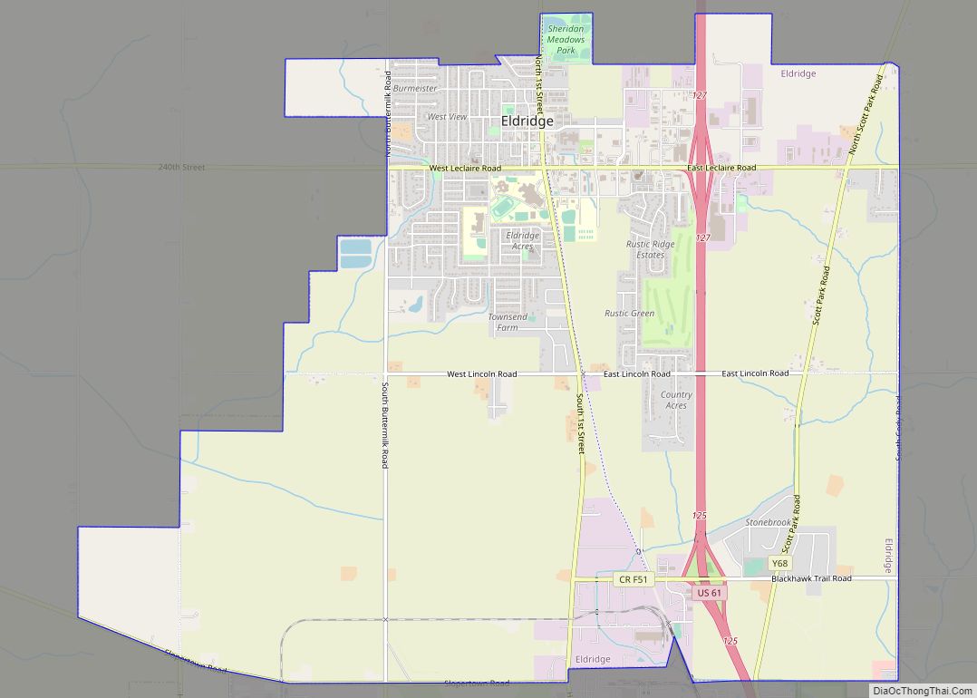
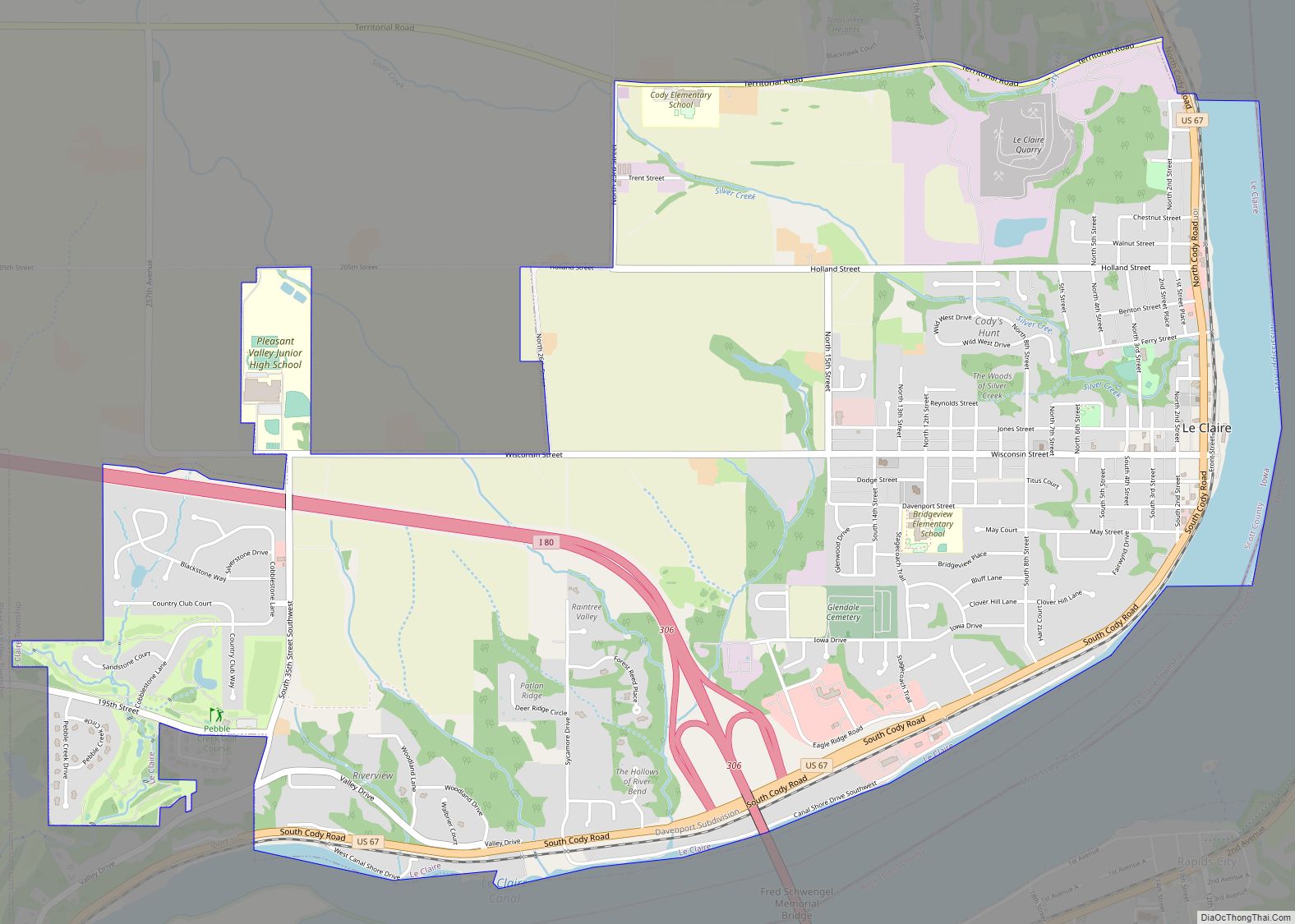
Online Interactive Map
Click on ![]() to view map in "full screen" mode.
to view map in "full screen" mode.
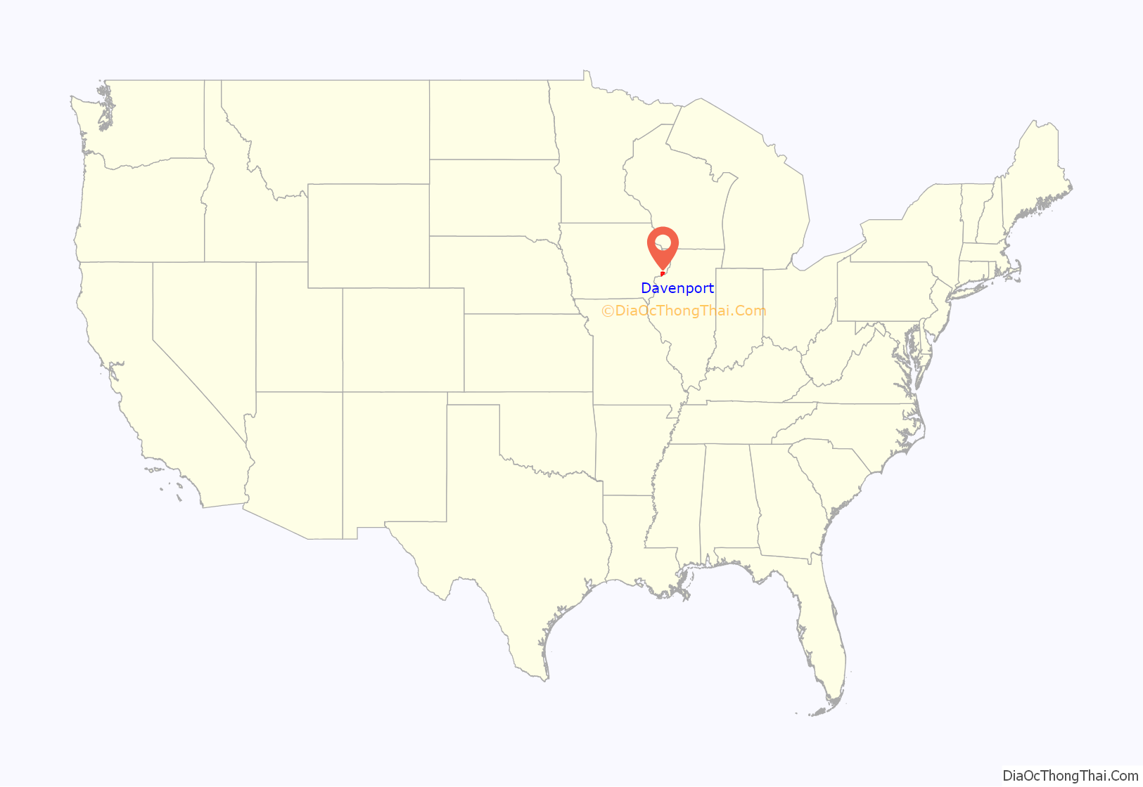
Davenport location map. Where is Davenport city?
History
The land was originally owned by the historic Sauk people, Meskwaki (Fox), and Ho-Chunk (Winnebago) Native American tribes. France laid claim to this territory as part of its New France and Illinois Country in the 18th century. Its traders and missionaries came to the area from Canada (Quebec), but it did not have many settlers here. After losing to Great Britain in the Seven Years’ War, France ceded its territory east of the Mississippi River to the victor, but retained lands to the west.
In 1803, France sold its holdings in North America west of the Mississippi River to the United States under the Louisiana Purchase. Lieutenant Zebulon Pike was the first United States representative to officially visit the Upper Mississippi River area. On August 27, 1805, Pike camped on the present-day site of Davenport.
In 1832, a group of Sauk, Meskwaki, and Kickapoo people were defeated by the United States in the Black Hawk War. The United States government concluded the Black Hawk Purchase, sometimes called the Forty-Mile Strip or Scott’s Purchase, by which the US acquired lands in what is now eastern Iowa. The purchase was made for $640,000 on September 21, 1832, and contained an area of some 6 million acres (24,000 km), at a price equivalent to 11 cents/acre ($26/km). Although named after the defeated chief Black Hawk, he was being held prisoner by the US. Sauk chief Keokuk, who had remained neutral in the war, signed off on the purchase. It was made on the site of present-day Davenport. Army General Winfield Scott and Governor of Illinois, John Reynolds, acted on behalf of the United States, with Antoine Le Claire, a mixed-race (Métis) man, serving as translator. He later was credited with founding Davenport.
Chief Keokuk gave a generous portion of land to Antoine Le Claire’s wife, Marguerite, the granddaughter of a Sauk chief. Le Claire built their home on the exact spot where the agreement was signed, as stipulated by Keokuk, or he would have forfeited the land. Le Claire finished the ‘Treaty House’ in the spring of 1833. He founded Davenport on May 14, 1836, naming it for his friend Colonel George Davenport, who was stationed at Fort Armstrong during the war. The city was incorporated on January 25, 1839. The area was successively governed by the legislatures of the Michigan Territory, the Wisconsin Territory, Iowa Territory and finally Iowa.
Scott County was formed by an act of the Wisconsin Territorial legislature in 1837. Both Davenport and its neighbor Rockingham campaigned to become the county seat. The city with the most votes from Scott County citizens in the February 1838 election would become the county seat. On the eve of the election, Davenport citizens acquired the temporary service of Dubuque laborers so they could vote in the election. Davenport won the election with the help of the laborers. Rockingham supporters protested the elections to the territorial governor, on the grounds the laborers from Dubuque were not Scott County residents. The governor refused to certify the results of the election. A second election was held the following August. To avoid another import of voters, the governor set a 60-day residency requirement for all voters. Davenport won by two votes. Because the margin of victory was so close, a third election was held in the summer of 1840. As the August election drew nearer, Rockingham residents grew tired of the county seat cause. Davenport easily won the third election. Consequently, to avoid questions about the county seat, Davenport quickly built the first county courthouse.
The Rock Island Railroad built the first railroad bridge across the Mississippi River in 1856. It connected Davenport to Rock Island, Illinois. This railway connection resulted in significant improvements to transportation and commerce with Chicago, a booming 19th-century city. The addition of new railroad lines to Muscatine and Iowa City, and the acquisition of other lines by the Rock Island Railroad, resulted in Davenport becoming a commercial railroad hub.
Steamboat companies rightly saw nationwide railroads as a threat to their business. On May 6, 1856, just weeks after the bridge was completed, a steamboat captain deliberately crashed the Effie Afton into the bridge. The owner of the Effie Afton, John Hurd, filed a lawsuit against the Rock Island Railroad Company. Abraham Lincoln was the lead defense lawyer for the railroad company. The hung jury meant that neither party was awarded damages; the bridge was repaired within the span of a few months, and no further intentional sabotage was pursued. However, further litigation continued for many years, until ultimately the United States Supreme Court upheld the right to bridge navigable streams; the bridge, and others like it that had been built in the interim, were allowed to remain.
Prior to the start of the Civil War, Governor Samuel J. Kirkwood declared Davenport to be Iowa’s first military headquarters; five military camps were set up in the city to aid the Union.
The Davenport City Hall was built in 1895 for price of $100,000 ($3.26 million in 2021 dollars). Architectural journals of the time poked fun at the project due to the small amount of money budgeted. The skyline began forming in the 1920s with the construction of the Kahl Building, the Parker Building, and the Capitol Theatre during a period of economic and building expansion.
By 1932, thousands of Davenport residents were on public relief, due to the Great Depression. A shantytown of the poor developed in the west end of the city, along the Mississippi River. Sickness, hunger, and unsanitary living conditions plagued the area.
The situation would soon change, as many citizens went to work for the Works Progress Administration. Davenport had an economic boom during and after World War II, driven by wartime industry and peacetime demand. As Davenport grew, it absorbed smaller surrounding communities, annexing Rockingham, Nahant, Probstei, East Davenport, Oakdale, Cawiezeel, Blackhawk, Mt. Joy, Green Tree, and others. Oscar Mayer, Ralston Purina, and other companies built plants in west Davenport. The Interstate highway network reached Davenport in 1956, improving transportation in the area. By 1959, more than 1,000 homes a year were being constructed.
By the late 1970s, the good times were over for both downtown and local businesses and industries. Railroad restructuring in the mid-20th century had caused a loss of jobs in the industry. The farm crisis of the 1980s negatively affected Davenport and the rest of the Quad Cities, where a total of 35,000 workers lost their jobs throughout the entire Quad Cities area. Restructuring of heavy industry also continued: the Caterpillar plant on the city’s north side closed, causing another wave of job loss.
With the 1990s, the city finally showed the beginnings of a resurgence. In the early 21st century, many renovations and building additions have occurred to revitalize the downtown area, including repairing Modern Woodmen Park, the building of the Skybridge and the Figge Art Museum. In 2011, the Gold Coast and Hamburg Historic District was named as a 2011 “America’s Great Place” by the American Planning Association.
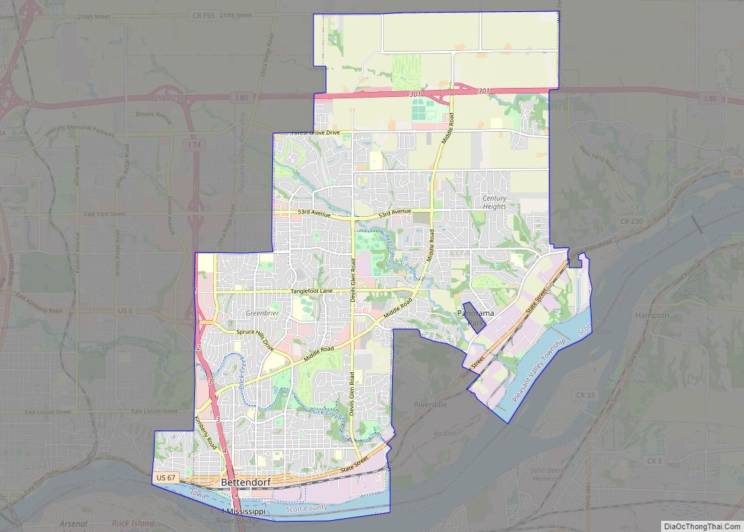
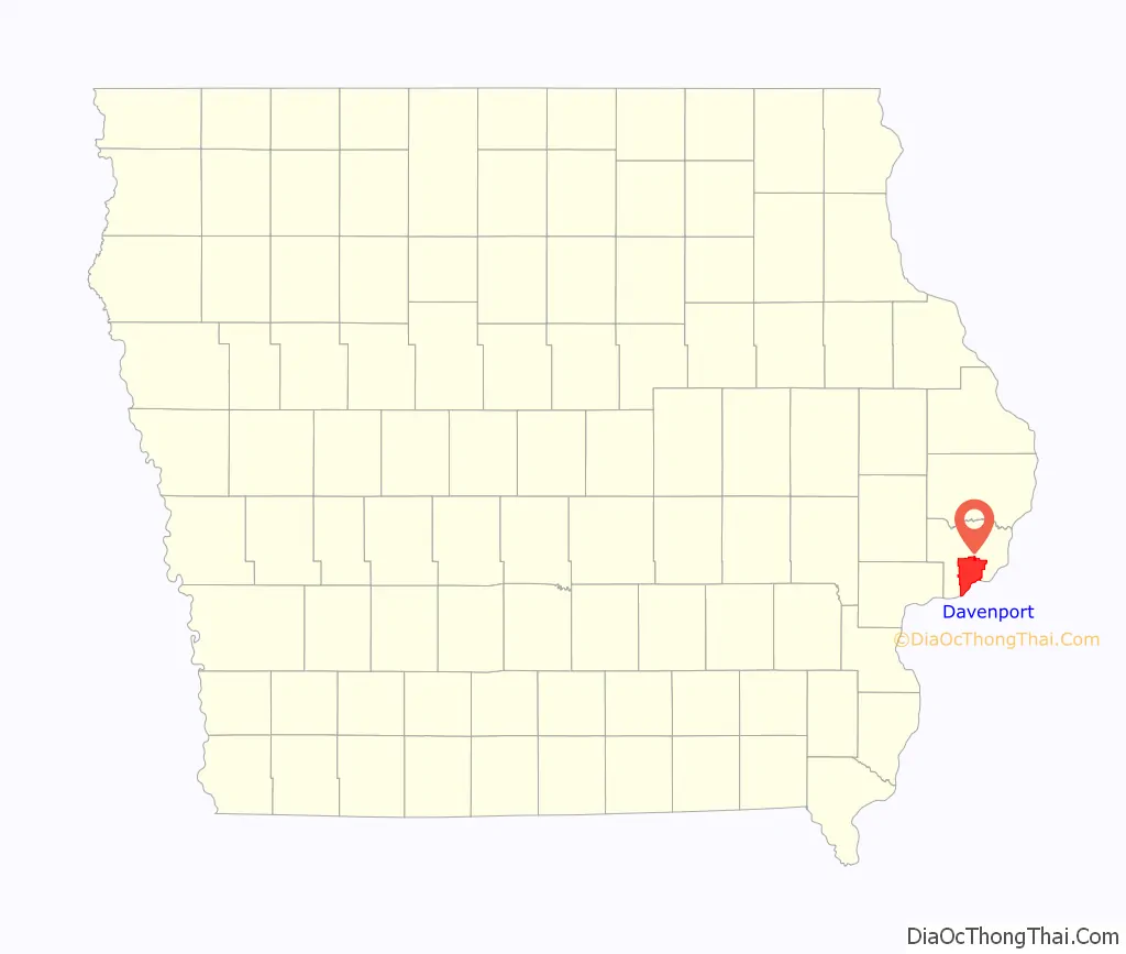
Davenport Road Map
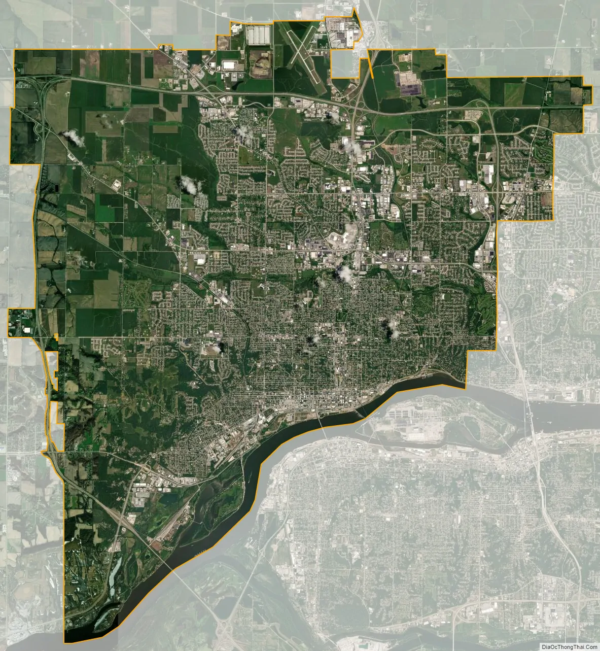
Davenport city Satellite Map
Geography
According to the United States Census Bureau, the city has a total area of 65.92 square miles (170.73 km), of which 63.8 square miles (165.24 km) is land and 2.12 square miles (5.49 km) is water. Davenport is located approximately 170 miles (270 km) west of Chicago and 170 miles (270 km) east of the Iowa state capital of Des Moines. The city is located about 200 miles (320 km) north of St. Louis, Missouri, and 265 miles (426 km) southeast of Minneapolis, Minnesota. Farmland surrounds Davenport, outside the Quad Cities area.
Davenport is located on the banks of the Mississippi River. At this point the river has a maximum depth of around 30 to 40 feet (9.1 to 12.2 m) and is 2,217 feet (676 m) wide where the Centennial Bridge crosses it. The river flows from east to west in this area, as opposed to its usual north to south direction. From the river the city starts to slope north up a hill, which is steep at some points. The streets of the city, especially downtown and in the central part of the town, follow a grid design.
Davenport often makes national headlines when it suffers seasonal flooding by the Mississippi River. It is the largest city bordering the Mississippi that has no permanent flood wall or levee. Davenport residents prefer to maintain open access to the river for parks and vistas rather than have it cut off by dikes and levees. Davenport has adopted ordinances requiring any new construction in the floodplain to be elevated above the 100-year-flood level, or protected with walls. As a result, former mayor Phil Yerington said that if they “let Mother Nature take her course, we’ll all be better off”. An example of a Davenport building that is elevated or flood-proofed is the Figge Art Museum.
Climate
Under the Köppen climate classification, Davenport is considered to have a humid continental climate (Dfa). Summers are very warm to hot with high levels of humidity. Winters have cold temperatures and often high winds, with snow likely from November through February. Average snowfall in Davenport is 30.7 inches (780 mm) per year. January is on average the coldest month, while July is the warmest. The highest temperature recorded in Davenport was 111 °F (44 °C) on July 12, 1936. The lowest temperature, −29 °F (−34 °C), was recorded on January 18, 2009. Substantial weather changes frequently occur at three- to four-day intervals as a result of mid-latitude storm tracks, which is where low and high pressure extratropical disturbances occur. During the summers, farmers experience difficulties while farming such as shallow soil, the humidity, and cold damp winds
Although several minor tornadoes have occurred, no devastating tornado has ever touched down in Davenport. Flooding, however, is often a problem in Davenport due to the lack of a flood wall. During the Great Flood of 1993, the water crested at 22.63 feet (6.90 m) on July 9. This is nearly 8 feet (2.4 m) above the 14.9-foot (4.5 m) flood stage. Major flooding in Davenport causes many problems. Roads in and around the downtown area, including U.S. Route 67, are closed and cause increased traffic on other city roads. The effects of major flooding can be long-lasting. For example, during the 2008 flooding, Credit Island in the city’s southwest corner remained closed for 5½ months while crews worked on cleaning up damage and removing river debris. Duck Creek, a stream situated in Bettendorf and Davenport, is also vulnerable to flash flooding. Severe thunderstorms on June 16, 1990, created heavy flash flooding in Bettendorf and Davenport that killed four people. Another major flood happened on June 12, 2008, when severe thunderstorms caused Duck Creek to overflow its banks and flood properties and nearby streets (see Iowa flood of 2008).
Neighborhoods
Davenport has several neighborhoods dating back to the 1840s. The original city plot was around current day Ripley and 5th Streets, where Antoine Le Claire had built his house. The city can be divided into five areas: downtown, central, east end, near north and northwest, and west end. Many architectural designs are found throughout the city including Victorian, Queen Anne, Tudor Revival, and others. Many of the original neighborhoods were inhabited by German settlers.
The east side of the city dates back to 1850 and has always contained higher end housing. The proximity and commanding view of the river kept these neighborhoods a fashionable address, long after the original families departed. Lindsay Park, in The Village of East Davenport, was used as parade grounds for Civil War soldiers from Camp McClellan.
In contrast to the east side, the central and west neighborhoods originally contained many of the working class Germans who settled the town. Development on the west side started in the 1850s, with extensive construction occurring in the 1870s. Housing was mostly one and a half to two-story front gable American Foursquare and simplified Queen Anne style. The central Hamburg neighborhood, now known as the Hamburg Historic District, contains the most architecturally significant residences in the old German neighborhoods. Also in central Davenport, the Vander Veer Park Historic District is a neighborhood anchored by Vander Veer Park, a large park with a botanical garden and a fountain. The park was modeled after New York City’s Central Park and originally shared its name. Vander Veer is surrounded by large Queen Anne and Tudor Revival style houses that were built between 1895 and 1915. Development of the Vander Veer Park was one of the first major beautification efforts.
Today, the eastern side of Davenport still contains many of the higher class houses in the city. The old Civil War parade grounds, in The Village of East Davenport (“The Village” for short), have been turned into Lindsay Park, which is surrounded by small specialty shops. West of The Village, Downtown contains the two tallest buildings in the Quad Cities; the Wells Fargo Bank Building, which is 255 feet tall, and the Mid-American Energy Building, which is 220 feet tall. Other tall buildings include the 11-story Hotel Blackhawk, the 150 foot Kahl Building and the Davenport City Hall.
See also
Map of Iowa State and its subdivision:- Adair
- Adams
- Allamakee
- Appanoose
- Audubon
- Benton
- Black Hawk
- Boone
- Bremer
- Buchanan
- Buena Vista
- Butler
- Calhoun
- Carroll
- Cass
- Cedar
- Cerro Gordo
- Cherokee
- Chickasaw
- Clarke
- Clay
- Clayton
- Clinton
- Crawford
- Dallas
- Davis
- Decatur
- Delaware
- Des Moines
- Dickinson
- Dubuque
- Emmet
- Fayette
- Floyd
- Franklin
- Fremont
- Greene
- Grundy
- Guthrie
- Hamilton
- Hancock
- Hardin
- Harrison
- Henry
- Howard
- Humboldt
- Ida
- Iowa
- Jackson
- Jasper
- Jefferson
- Johnson
- Jones
- Keokuk
- Kossuth
- Lee
- Linn
- Louisa
- Lucas
- Lyon
- Madison
- Mahaska
- Marion
- Marshall
- Mills
- Mitchell
- Monona
- Monroe
- Montgomery
- Muscatine
- O'Brien
- Osceola
- Page
- Palo Alto
- Plymouth
- Pocahontas
- Polk
- Pottawattamie
- Poweshiek
- Ringgold
- Sac
- Scott
- Shelby
- Sioux
- Story
- Tama
- Taylor
- Union
- Van Buren
- Wapello
- Warren
- Washington
- Wayne
- Webster
- Winnebago
- Winneshiek
- Woodbury
- Worth
- Wright
- Alabama
- Alaska
- Arizona
- Arkansas
- California
- Colorado
- Connecticut
- Delaware
- District of Columbia
- Florida
- Georgia
- Hawaii
- Idaho
- Illinois
- Indiana
- Iowa
- Kansas
- Kentucky
- Louisiana
- Maine
- Maryland
- Massachusetts
- Michigan
- Minnesota
- Mississippi
- Missouri
- Montana
- Nebraska
- Nevada
- New Hampshire
- New Jersey
- New Mexico
- New York
- North Carolina
- North Dakota
- Ohio
- Oklahoma
- Oregon
- Pennsylvania
- Rhode Island
- South Carolina
- South Dakota
- Tennessee
- Texas
- Utah
- Vermont
- Virginia
- Washington
- West Virginia
- Wisconsin
- Wyoming