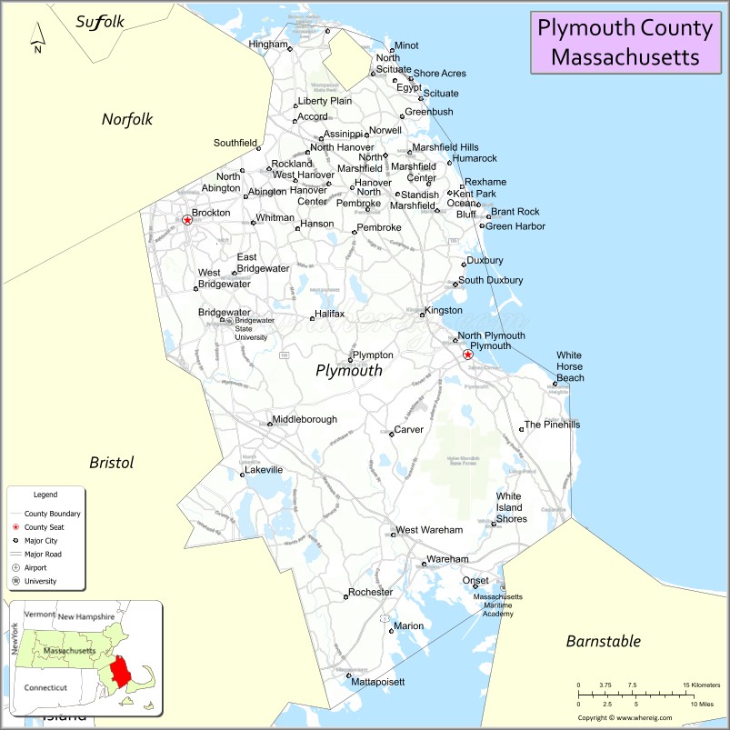
| Name: | Plymouth County |
|---|---|
| FIPS code: | 25-023 |
| State: | Massachusetts |
| Founded: | 2 June 1685 |
| Seat: | Plymouth and Brockton |
| Largest city: | Brockton |
| Total Area: | 1,093 sq mi (2,830 km²) |
| Land Area: | 659 sq mi (1,710 km²) |
| Total Population: | 530,819 |
| Population Density: | 806.1/sq mi (311.2/km²) |
| Time zone: | UTC−5 (Eastern) |
| Summer Time Zone (DST): | UTC−4 (EDT) |
| Website: | www.plymouthcountyma.gov |
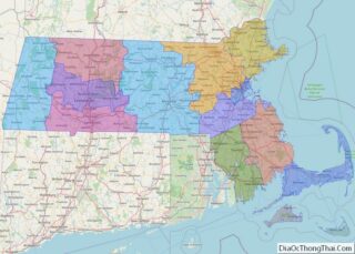
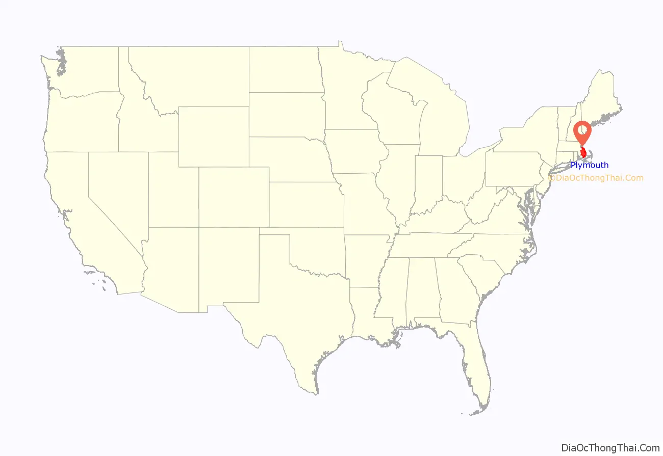
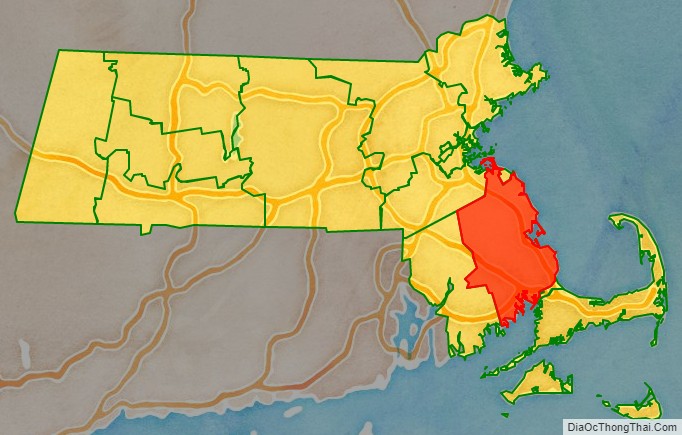
Plymouth County location map. Where is Plymouth County?
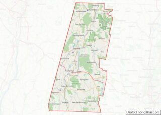
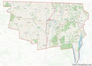
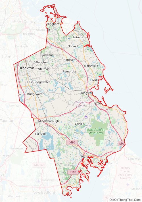
Plymouth County Road Map
Geography
According to the U.S. Census Bureau, the county has a total area of 1,093 square miles (2,830 km), of which 659 square miles (1,710 km) is land and 434 square miles (1,120 km) (40%) is water. It is the third-largest county in Massachusetts by total area.
Adjacent counties
The towns of Hingham and Hull in Plymouth County extend north of Norfolk County and face onto Massachusetts Bay, sharing a northern water boundary with Suffolk County.
- Norfolk County (north)
- Barnstable County (southeast)
- Bristol County (west)
National protected area
- Boston Harbor Islands National Recreation Area (part)
- Massasoit National Wildlife Refuge
Major highways
- I-195
- I-495
- US 6
- US 44
- Route 3
- Route 3A
- Route 14
- Route 18
- Route 24
- Route 25
- Route 27
- Route 28
- Route 36
- Route 37
- Route 53
- Route 58
- Route 79
- Route 80
- Route 104
- Route 105
- Route 106
- Route 123
- Route 139
- Route 140
- Route 228
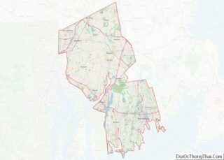
Plymouth County Topographic Map
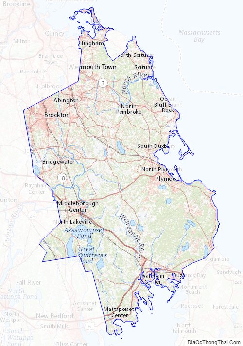
Plymouth County Satellite Map

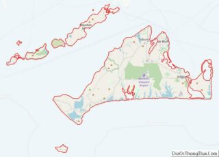
Plymouth County Outline Map